Bryniau

Settlement in Flintshire

Wales

Bryniau

Celtic Style Cross on Gwaenysgor By the viewpoint car park.
Celtic Style Cross on Gwaenysgor Credit: David Bremner

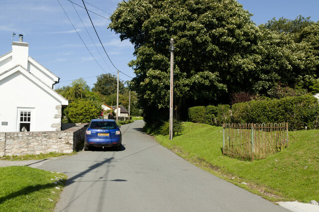
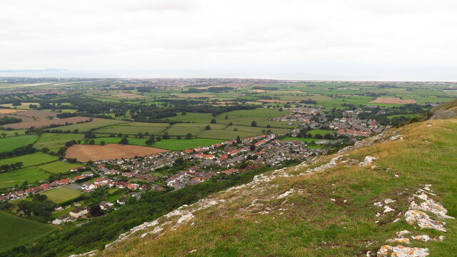
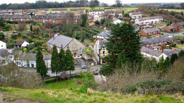
Bryniau is a small village located in the county of Flintshire, in northeastern Wales. Situated on the outskirts of the market town of Mold, the village is nestled in a picturesque rural setting, surrounded by rolling hills and farmland. The name "Bryniau" translates to "hills" in Welsh, which aptly describes the landscape of the area.

This charming village offers a tranquil and close-knit community atmosphere. Its population is relatively small, with a mix of families, retirees, and individuals who appreciate the peacefulness and natural beauty of the countryside. The village is characterized by a collection of traditional stone cottages, giving it a quaint and timeless appeal.

While Bryniau itself is primarily residential, it benefits from its proximity to Mold, where residents have easy access to a wide range of amenities, including shops, supermarkets, schools, and healthcare facilities. Additionally, the village is within commuting distance of larger towns and cities such as Chester and Wrexham, making it an ideal location for those seeking a balance between countryside living and urban convenience.

For outdoor enthusiasts, Bryniau offers ample opportunities to explore the surrounding countryside. The region is dotted with scenic walking trails that meander through fields, woodlands, and along the nearby River Alyn. The village also benefits from being close to Loggerheads Country Park, a popular destination for nature lovers, hikers, and picnic enthusiasts.

Overall, Bryniau is a charming and idyllic village that provides its residents with a peaceful and picturesque lifestyle, surrounded by natural beauty and the conveniences of nearby towns and cities.

If you have any feedback on the listing, please let us know in the comments section below.
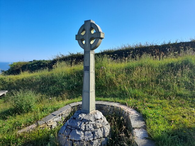
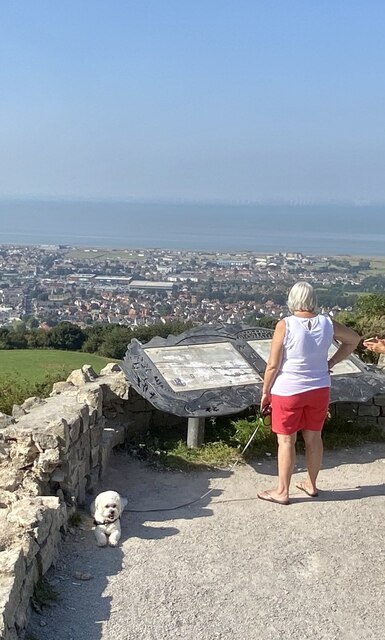
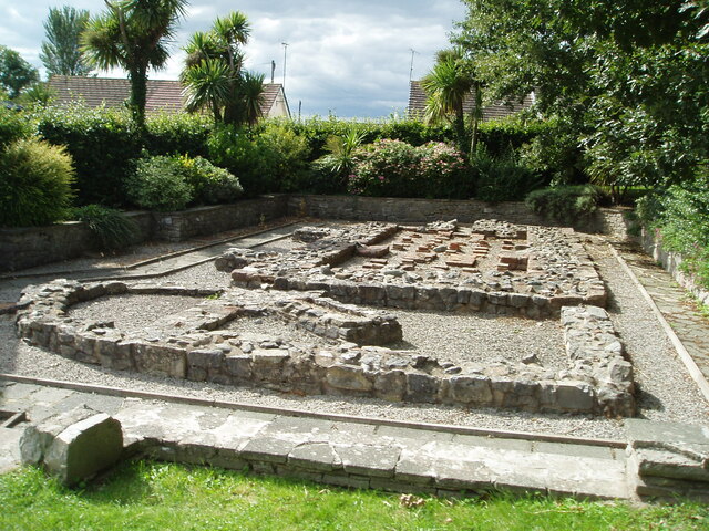
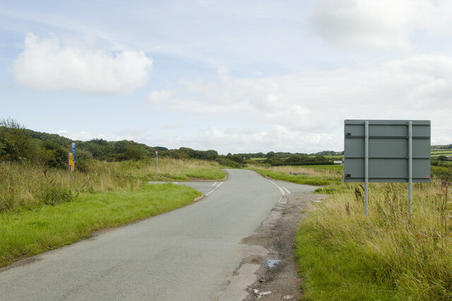
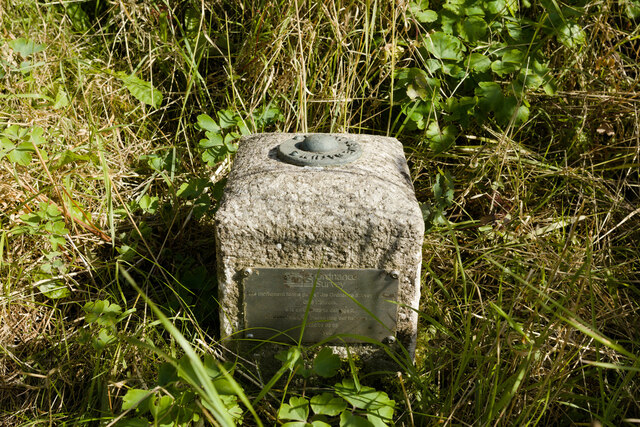
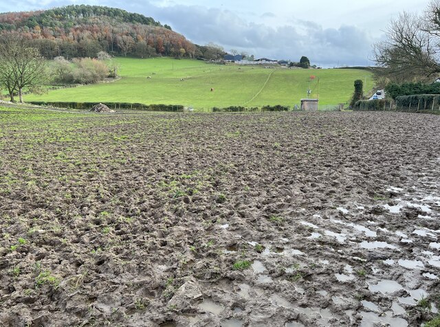
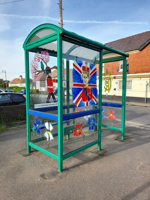
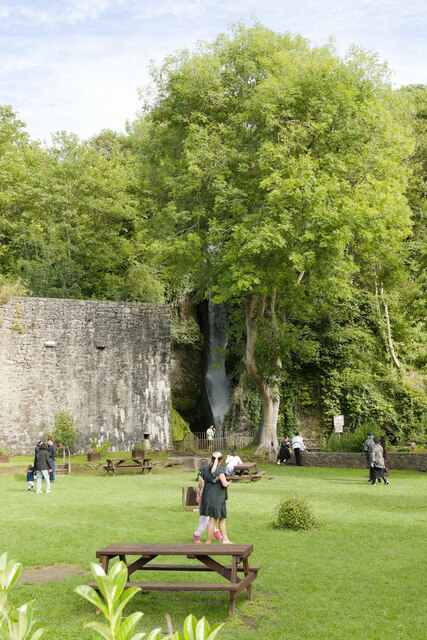
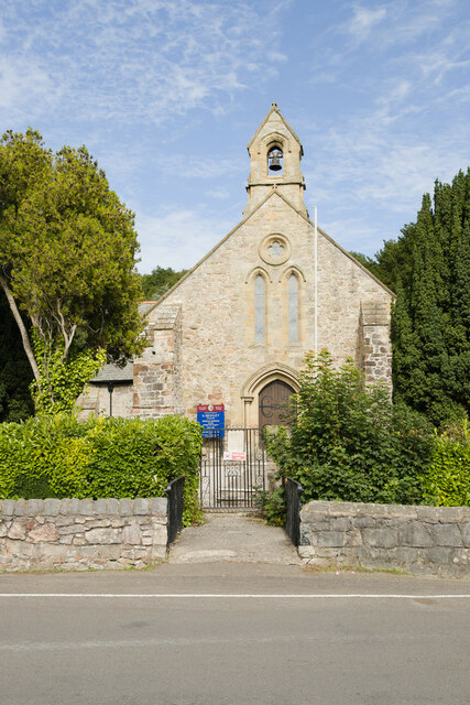
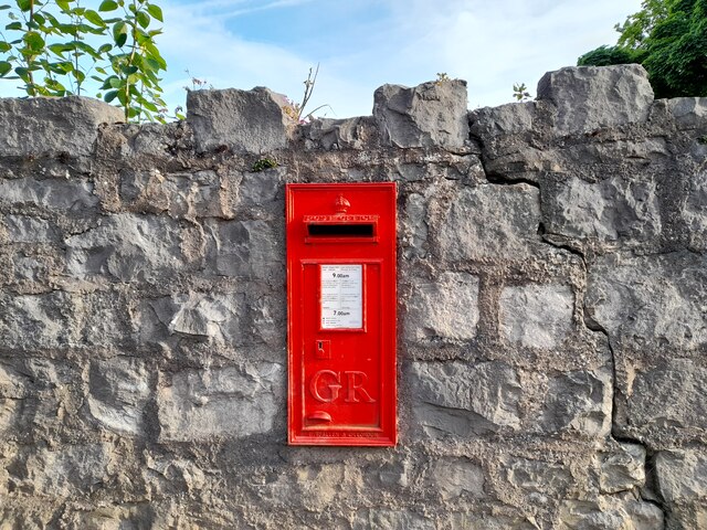
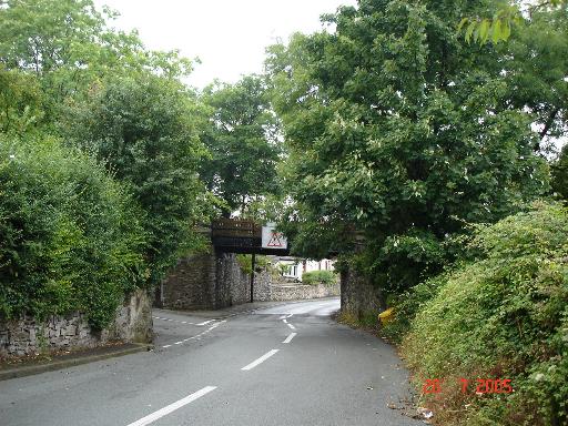
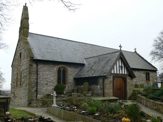
Bryniau Images

Images are sourced within 2km of 53.311677/-3.407101 or Grid Reference SJ0680. Thanks to Geograph Open Source API. All images are credited.

Celtic Style Cross on Gwaenysgor By the viewpoint car park.
Celtic Style Cross on Gwaenysgor
By the viewpoint car park.
Viewpoint at Gwaenysgor Prestatyn and the Irish Sea in the distance.
Viewpoint at Gwaenysgor
Prestatyn and the Irish Sea in the distance.
Remains of Roman Baths, Prestatyn Current thinking associates this with activities associated with the nearby lead mines.
Remains of Roman Baths, Prestatyn
Current thinking associates this with activities associated with the nearby lead mines.
Crossroads near Gwaenysgor A reverse view of the first Geograph for this square: <a href="https://www.geograph.org.uk/photo/31116">SJ0780 : Gwaenysgor crossroads</a>
Crossroads near Gwaenysgor
A reverse view of the first Geograph for this square: SJ0780 : Gwaenysgor crossroads
Fundamental Bench Mark, Bryniau Bench Mark Database: <span class="nowrap"><a title="https://www.bench-marks.org.uk/bm1054" rel="nofollow ugc noopener" href="https://www.bench-marks.org.uk/bm1054">Link</a><img style="margin-left:2px;" alt="External link" title="External link - shift click to open in new window" src="https://s1.geograph.org.uk/img/external.png" width="10" height="10"/></span>
Fundamental Bench Mark, Bryniau
Bench Mark Database: LinkExternal link
Lane in Bryniau Castle House is on the left. There is a fundamental bench mark behind the railings to the right of the photograph and a closer view can be seen here: <a href="https://www.geograph.org.uk/photo/7574290">SJ0680 : Fundamental Bench Mark, Bryniau</a>.
Lane in Bryniau
Castle House is on the left. There is a fundamental bench mark behind the railings to the right of the photograph and a closer view can be seen here: SJ0680 : Fundamental Bench Mark, Bryniau.
Lane near Gop Farm
Lane near Gop Farm
Impassable footpath through field An alternative route is required!
Impassable footpath through field
An alternative route is required!
Dyserth from Moel Hiraddug
Dyserth Falls Sign
Dyserth Falls Sign
Afon Ffyddion Waterfall The massive wall in the view contains steps to reach the top of the waterfall but was thought originally to house a waterwheel
Afon Ffyddion Waterfall
The massive wall in the view contains steps to reach the top of the waterfall but was thought originally to house a waterwheel
Bethel Chapel The former chapel from near the top of the waterfall
Bethel Chapel
The former chapel from near the top of the waterfall
OS Benchmark Recorded on Benchmark Database as 'Dyserth, United Reformed Church'.
OS Benchmark
Recorded on Benchmark Database as 'Dyserth, United Reformed Church'.
Coronation Decor Attractive artwork celebrating the Coronation of His Majesty King Charles III.
 Seen on my Coronation tour.
Coronation Decor
Attractive artwork celebrating the Coronation of His Majesty King Charles III. Seen on my Coronation tour.
Dyserth Waterfall and Gardens
St Bridget's Parish Church, Dyserth
Lane approaching Newmarket Road
Postbox at Dyserth LL18 121. Royal Mail list this box as 'Hiraddug Road'.
Postbox at Dyserth
LL18 121. Royal Mail list this box as 'Hiraddug Road'.
Show me another place!

Bryniau is located at Grid Ref: SJ0680 (Lat: 53.311677, Lng: -3.407101)

Unitary Authority: Denbighshire

Police Authority: North Wales

What 3 Words

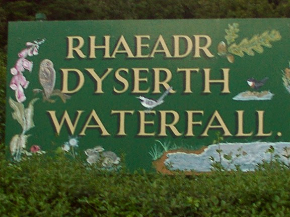
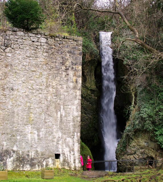
///archduke.goggles.spoke. Near Dyserth, Denbighshire

Nearby Locations

Tan-yr-allt Gallt Bryniau

Related Wikis

Graig Fawr

Graig Fawr is a Site of Special Scientific Interest in the preserved county of Clwyd, north Wales, now in Denbighshire. It is 153 metres (502 feet) high...

Meliden railway station

Meliden railway station served the mining village of Meliden, Flintshire (now Denbighshire), Wales, on the Dyserth branch line. It was used as a way of...

Meliden

Meliden (Welsh: Alltmelyd) is a village between Prestatyn and Dyserth in Denbighshire, Wales. It grew up around the locality of lead mines and limestone...

Alt-y-Graig railway station

Alt-y-Craig railway station (later renamed Allt-y-Graig) was an unstaffed halt on the Dyserth branch line. Like Woodland Park further down the line, passengers...

Nearby Amenities

Located within 500m of 53.311677,-3.407101
Barrier: stile
Foot: yes
Lat/Long: 53.3134265/-3.4002172
Barrier: kissing_gate
Lat/Long: 53.3102737/-3.414099
Barrier: stile
Source: GPS survey
Lat/Long: 53.3103691/-3.4027616
Barrier: kissing_gate
Source: GPS survey
Lat/Long: 53.3122723/-3.4048322
Barrier: kissing_gate
Lat/Long: 53.3139101/-3.4128103
Barrier: kissing_gate
Lat/Long: 53.3159535/-3.4066047
Power: pole
Lat/Long: 53.3075481/-3.4043708
Power: pole
Lat/Long: 53.3082337/-3.4036353
Power: pole
Lat/Long: 53.3089192/-3.4028734
Power: pole
Lat/Long: 53.3093305/-3.4016966
Power: pole
Lat/Long: 53.3097049/-3.4005639
Power: pole
Lat/Long: 53.308916/-3.4097886
Power: pole
Lat/Long: 53.308831/-3.4108127
Power: pole
Lat/Long: 53.3087405/-3.4116953
Power: pole
Lat/Long: 53.3090117/-3.4085805
Power: pole
Lat/Long: 53.3088239/-3.4072282
Power: pole
Lat/Long: 53.3096224/-3.408207
Power: pole
Lat/Long: 53.3102729/-3.4078429
Power: pole
Lat/Long: 53.3105943/-3.4064227
Power: pole
Lat/Long: 53.3108779/-3.4054777
Power: pole
Lat/Long: 53.3088189/-3.4124152
Bryniau
Place: hamlet
Lat/Long: 53.3117904/-3.4066206
Tan-yr-allt
Place: hamlet
Lat/Long: 53.3141647/-3.4056876
Graig Fawr Standing Stone
Historic: archaeological_site
Lat/Long: 53.3098226/-3.4080002
Power: pole
Lat/Long: 53.3085869/-3.4057143
Barrier: kissing_gate
Foot: yes
Lat/Long: 53.3089494/-3.4090747
Talargoch Lead Mine - China Rake Adit I
Archaeological Site: mineral_extraction
Historic: archaeological_site
Historic Civilization: modern
Lat/Long: 53.3099257/-3.4094997
Power: pole
Lat/Long: 53.3122999/-3.4088122
Power: pole
Lat/Long: 53.3118908/-3.4085134
Power: pole
Lat/Long: 53.3115457/-3.4083268
Power: pole
Lat/Long: 53.3116937/-3.4080896
Power: pole
Lat/Long: 53.3120644/-3.4068698
Power: pole
Lat/Long: 53.3122196/-3.4063278
Power: pole
Lat/Long: 53.3110674/-3.4073652
Ele: 151
Lat/Long: 53.3112774/-3.4127054
Graig Fawr
Ele: 153
Natural: peak
Lat/Long: 53.3120332/-3.4131986
Barrier: kissing_gate
Lat/Long: 53.3099908/-3.4074502
Power: pole
Lat/Long: 53.3106317/-3.4060271
Power: pole
Lat/Long: 53.3122914/-3.40569
Power: pole
Lat/Long: 53.3126015/-3.4058295
Grit Bin
Lat/Long: 53.3122939/-3.406229
Power: pole
Lat/Long: 53.3118975/-3.405517
Power: pole
Lat/Long: 53.3116227/-3.4054801
Barrier: stile
Source: GPS survey
Lat/Long: 53.3111296/-3.4038031
Nant-yr-ogof Cave
Natural: cave_entrance
Lat/Long: 53.3149117/-3.4029417
Site of Abandoned Castle
Historic: archaeological_site
Lat/Long: 53.3117034/-3.4124567
Natural: cave_entrance
Lat/Long: 53.3120101/-3.4145169
Natural: cave_entrance
Lat/Long: 53.3119184/-3.4141512
Direction: 145
Generator Method: photovoltaic
Generator Output Electricity: yes
Generator Solar Modules: 10
Generator Source: solar
Generator Type: solar_photovoltaic_panel
Location: roof
Power: generator
Lat/Long: 53.3153909/-3.4104268
Direction: 195
Generator Method: photovoltaic
Generator Output Electricity: yes
Generator Solar Modules: 16
Generator Source: solar
Generator Type: solar_photovoltaic_panel
Location: roof
Power: generator
Lat/Long: 53.3137414/-3.4075672
Direction: 235
Generator Method: photovoltaic
Generator Output Electricity: yes
Generator Solar Modules: 16
Generator Source: solar
Generator Type: solar_photovoltaic_panel
Location: roof
Power: generator
Lat/Long: 53.3140432/-3.4081905
Meliden
Historic Railway: station
Railway: site
Wikidata: Q23035203
Wikipedia: en:Meliden railway station
Lat/Long: 53.3143708/-3.4116352
Street Lamp
Lat/Long: 53.3160471/-3.4073836
Street Lamp
Lat/Long: 53.3160239/-3.4079971
Grit Bin
Lat/Long: 53.3160339/-3.4076891
Street Lamp
Lat/Long: 53.3159884/-3.4087007
Power: pole
Lat/Long: 53.3100849/-3.4063791
Power: pole
Lat/Long: 53.3098189/-3.4057268
Power: pole
Lat/Long: 53.3095948/-3.4050443
Power: pole
Lat/Long: 53.3094559/-3.4046043
Power: pole
Lat/Long: 53.310256/-3.4068375
Power: pole
Lat/Long: 53.3104136/-3.4066573
Power: pole
Lat/Long: 53.3111154/-3.40549
Power: pole
Lat/Long: 53.3113317/-3.4056049
Power: pole
Lat/Long: 53.3089864/-3.4029913
Power: pole
Lat/Long: 53.3092589/-3.4039274
Craig Fawr
Description: OS trig pillar
Ele: 152.933
Man Made: survey_point
Ref: S3535
Source: Ordnance Survey and Trigpointing.uk
Survey Point: pillar
Tpuk Ref: TP2492
Lat/Long: 53.312055/-3.413127
Post Box
Brand: Royal Mail
Brand Wikidata: Q638098
Brand Wikipedia: en:Royal Mail
Collection Times: Mo-Fr 09:00; Sa 07:00
Drive Through: no
Operator: Royal Mail
Operator Wikidata: Q638098
Post Box Type: wall
Ref: LL18 18D
Royal Cypher: EIIR
Royal Cypher Wikidata: Q33102113
Lat/Long: 53.3104997/-3.4063575
Direction: 215
Generator Method: photovoltaic
Generator Output Electricity: yes
Generator Solar Modules: 3
Generator Source: solar
Generator Type: solar_photovoltaic_panel
Location: roof
Power: generator
Lat/Long: 53.3144194/-3.4092164
Direction: 125
Fixme: module count approximate
Generator Method: photovoltaic
Generator Output Electricity: yes
Generator Solar Modules: 11
Generator Source: solar
Generator Type: solar_photovoltaic_panel
Location: roof
Power: generator
Lat/Long: 53.3144194/-3.4091654
Talargoch Lead Mine - Talargoch Shaft
Archaeological Site: mineral_extraction
Historic: archaeological_site
Historic Civilization: modern
Lat/Long: 53.3139789/-3.4134456
Carreg Failon Copper Mine
Archaeological Site: mineral_extraction
Historic: archaeological_site
Historic Civilization: modern
Lat/Long: 53.310309/-3.4116614
Talargoch Lead Mine - China Rake Adit II
Archaeological Site: mineral_extraction
Historic: archaeological_site
Historic Civilization: modern
Lat/Long: 53.3101923/-3.4088185
Access: no
Barrier: stile
Foot: yes
Lat/Long: 53.3076033/-3.4089568
Talargoch Lead Mine - No. 2 Shaft
Archaeological Site: mineral_extraction
Historic: archaeological_site
Historic Civilization: modern
Lat/Long: 53.3149966/-3.4113138
The data included in this document is from www.openstreetmap.org. The data is made available under ODbL.

Have you been to Bryniau?

Leave your review of Bryniau below (or comments, questions and feedback).