Bryniau

Settlement in Glamorgan

Wales

Bryniau

Aberglais Inn The Aberglais Inn, Pontsarn, near the viaduct over the Taf Fechan.
Aberglais Inn Credit: Alan Hughes

Bryniau is a small village located in the historic county of Glamorgan, Wales. Situated in the Vale of Glamorgan, it is surrounded by picturesque countryside and offers a peaceful and idyllic setting for its residents and visitors.

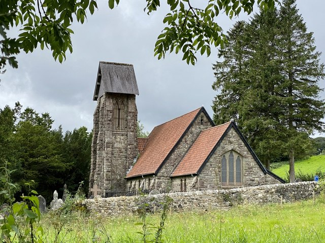
The village is known for its rich history, with evidence of human habitation dating back to the prehistoric period. In the Middle Ages, Bryniau was primarily an agricultural community, with farming being the main source of livelihood for its inhabitants.

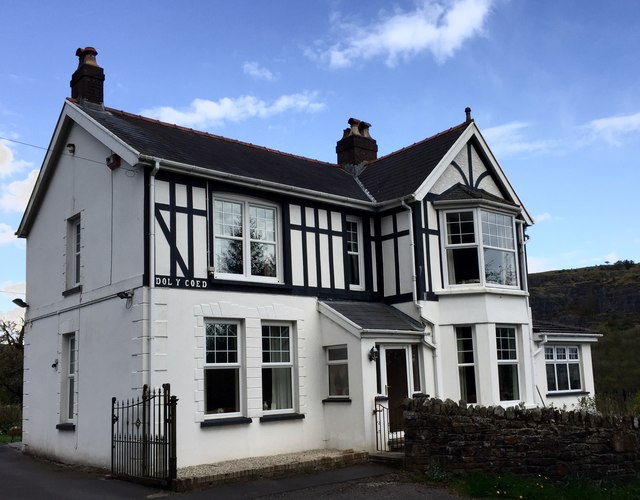
Today, Bryniau retains its rural charm and is a close-knit community with a small population. The village is characterized by its quaint cottages, many of which date back several centuries, and its narrow winding lanes that add to its charm.

Despite its small size, Bryniau offers several amenities to its residents. It has a local primary school, a village hall that serves as a hub for community activities, and a small convenience store for everyday needs. The village also benefits from its proximity to larger towns and cities, with easy access to amenities such as shopping centers, healthcare facilities, and educational institutions.

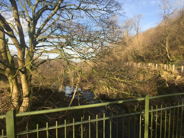
The surrounding countryside provides ample opportunities for outdoor activities, including hiking, cycling, and horse riding. The nearby coast is also within reach, offering beautiful beaches and seaside attractions.

Bryniau is a hidden gem in Glamorgan, offering a peaceful and picturesque setting for those seeking a slower pace of life in a close-knit community.

If you have any feedback on the listing, please let us know in the comments section below.
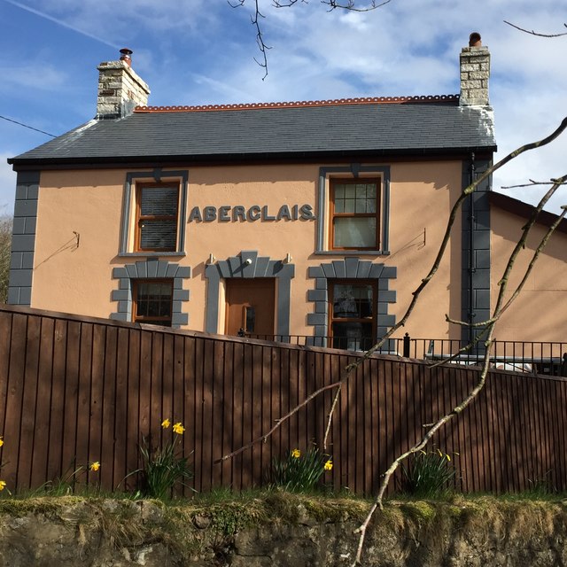
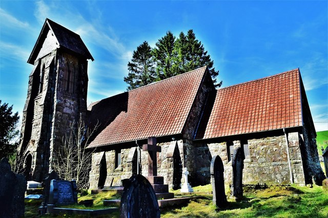
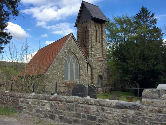
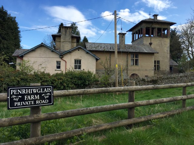
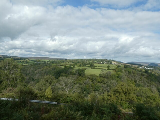
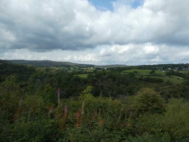
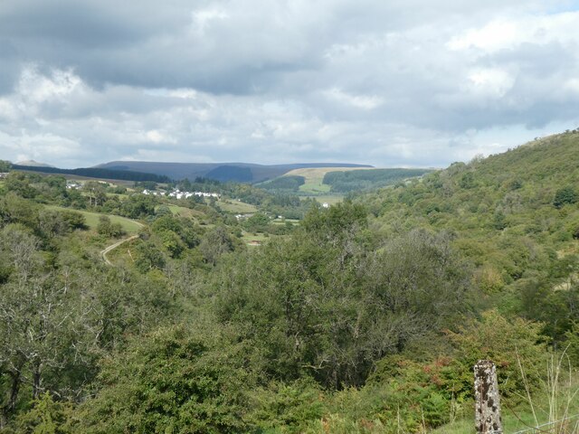
Bryniau Images

Images are sourced within 2km of 51.77092/-3.369979 or Grid Reference SO0508. Thanks to Geograph Open Source API. All images are credited.

Aberglais Inn The Aberglais Inn, Pontsarn, near the viaduct over the Taf Fechan.
Aberglais Inn
The Aberglais Inn, Pontsarn, near the viaduct over the Taf Fechan.
St Gwynno Church, Vaynor,Merthyr
Tafarn yr Eglwys Formerly a pub, now a private residence, Tafarn yr Eglwys (Church Inn) served as the local circuit court in the 18th century.
Tafarn yr Eglwys
Formerly a pub, now a private residence, Tafarn yr Eglwys (Church Inn) served as the local circuit court in the 18th century.
St.Gwynno Church Church of St.Gwynno, Vaynor.
St.Gwynno Church
Church of St.Gwynno, Vaynor.
Hy Brasail View of the Italianate villa, Hy Brasail, from the entrance to Penrhiwglais Farm.
Hy Brasail
View of the Italianate villa, Hy Brasail, from the entrance to Penrhiwglais Farm.
Dol y Coed, Vaynor Opposite Hy Brasail in Vaynor, an attractive part-timbered residence named Dol y Coed.
Dol y Coed, Vaynor
Opposite Hy Brasail in Vaynor, an attractive part-timbered residence named Dol y Coed.
Bridge over the Taf Fechan Taf Fechan bridge near Pontsticill.
Bridge over the Taf Fechan
Taf Fechan bridge near Pontsticill.
Lane and river Narrow lane to Pontsticill alongside the Taf Fechan.
Lane and river
Narrow lane to Pontsticill alongside the Taf Fechan.
Direction Sign – Signpost Located on the east side of a T junction near Vaynor church in Vaynor community. 2 arms and annulus finial. Sadly by April 2011 on Google Earth the Vaynor Church arm was absent, and by December 2013 on <a title="https://www.geograph.org.uk/photo/3767528" href="https://www.geograph.org.uk/photo/3767528">Link</a> it was in the shadow of a modern road sign.

Milestone Society National ID: BRE_SO0410
Direction Sign – Signpost
Located on the east side of a T junction near Vaynor church in Vaynor community. 2 arms and annulus finial. Sadly by April 2011 on Google Earth the Vaynor Church arm was absent, and by December 2013 on Link it was in the shadow of a modern road sign. Milestone Society National ID: BRE_SO0410
Blocked footpath The aftermath of storm Ellen.  Cyclists have to negotiate their way around a fallen tree on the disused railway line between Cefn Coed and Pontsticill.
Blocked footpath
The aftermath of storm Ellen. Cyclists have to negotiate their way around a fallen tree on the disused railway line between Cefn Coed and Pontsticill.
St Gwynno’s Church, Faenor The church was rebuilt in 1870 by Robert Crawshay, the local ironmaster.
St Gwynno’s Church, Faenor
The church was rebuilt in 1870 by Robert Crawshay, the local ironmaster.
Church ruin The old church of St Gwynno, Faenor, replaced in 1870.
Church ruin
The old church of St Gwynno, Faenor, replaced in 1870.
Hy Brasail A monumental folly to love lost.

<span class="nowrap"><a title="https://www.grahamwatkins.info/post/2015/06/15/hybrasail-house" rel="nofollow ugc noopener" href="https://www.grahamwatkins.info/post/2015/06/15/hybrasail-house">Link</a><img style="margin-left:2px;" alt="External link" title="External link - shift click to open in new window" src="https://s1.geograph.org.uk/img/external.png" width="10" height="10"/></span>
Hy Brasail
A monumental folly to love lost. LinkExternal link
Overgrown footpath This old footpath appears to be little used nowadays.  It once led from Pontsticill to Faenor church.
Overgrown footpath
This old footpath appears to be little used nowadays. It once led from Pontsticill to Faenor church.
View over Taff valley from near Pant Station
View across Taff valley towards Llwynybrain Seen from the Brecon Mountain Railway
View across Taff valley towards Llwynybrain
Seen from the Brecon Mountain Railway
Woodland in Taff valley south of Pontsticill Reservoir
The village of Llwynybrain above the Taff valley
Show me another place!

Bryniau is located at Grid Ref: SO0508 (Lat: 51.77092, Lng: -3.369979)

Unitary Authority: Merthyr Tydfil

Police Authority: South Wales

What 3 Words

///usage.levels.drum. Near Merthyr Tydfil

Related Wikis

Pant, Merthyr Tydfil

Pant is a village and community on the outskirts of Merthyr Tydfil, a large former mining town in the South Wales Valleys, Wales. Pant is notable for being...

Pen y Dre High School

Pen y Dre High School is an 11-16 mixed-sex comprehensive school situated in the Gurnos district of Merthyr Tydfil, Wales. == External links == Old Merthyr...

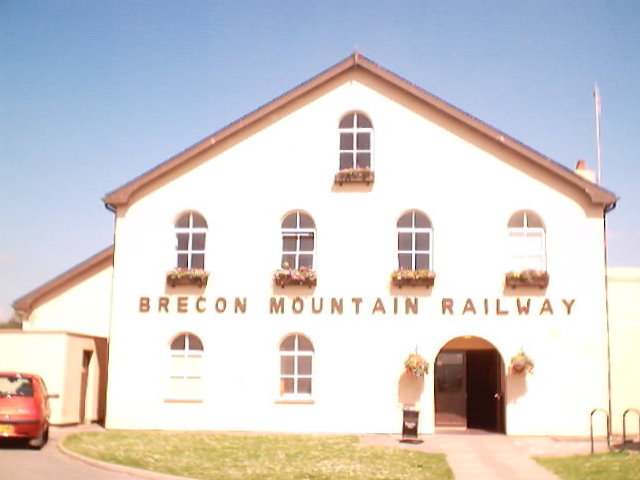
Pant railway station (Brecon Mountain Railway)

Pant railway station is the southern terminus of the Brecon Mountain Railway, a heritage line on the southern edge of the Brecon Beacons National Park...

Morlais Castle

Morlais Castle is a 13th-century castle located above the Taff Gorge near the town of Merthyr Tydfil in Wales. == History == Building of the castle was...

Nearby Amenities

Located within 500m of 51.77092,-3.369979
Give Way
Direction: backward
Lat/Long: 51.7714516/-3.363959
Power: tower
Lat/Long: 51.7710507/-3.3711938
Power: tower
Lat/Long: 51.7712964/-3.3743471
Power: tower
Lat/Long: 51.7726633/-3.3694203
Power: pole
Lat/Long: 51.7732377/-3.3683938
Power: tower
Lat/Long: 51.7739842/-3.3679279
Power: pole
Lat/Long: 51.7746498/-3.3665159
Bryniau Quarries
Disused Landuse: quarry
Lat/Long: 51.7722118/-3.3649975
Give Way
Direction: backward
Lat/Long: 51.7670594/-3.369789
Crossing
Crossing: uncontrolled
Crossing Ref: zebra
Lat/Long: 51.7674543/-3.3697908
Power: pole
Lat/Long: 51.773196/-3.36923
Power: pole
Lat/Long: 51.7724558/-3.3700454
Power: pole
Lat/Long: 51.7714732/-3.3710352
Power: pole
Lat/Long: 51.771279/-3.3720142
Power: pole
Lat/Long: 51.7715313/-3.3745971
Power: pole
Lat/Long: 51.7718118/-3.376936
Give Way
Direction: forward
Lat/Long: 51.7720176/-3.3632605
Give Way
Direction: forward
Lat/Long: 51.7671528/-3.3698893
Bus Stop
Heol Rhyd y Bedd
Bus: yes
Disused: yes
Naptan AtcoCode: 5530AWB34103
Naptan NaptanCode: mtyatpt
Operator: Stagecoach
Public Transport: platform
Survey Date: 2017-08-08
Lat/Long: 51.7710931/-3.3633746
Bus Stop
Bryniau Road
Naptan AtcoCode: 5530AWB34102
Naptan NaptanCode: mtydpwm
Survey Date: 2017-08-08
Lat/Long: 51.7711301/-3.3632887
efs security systems
Shop: electrical
Lat/Long: 51.7674796/-3.3675104
Screwfix
Brand: Screwfix
Brand Wikidata: Q7439115
Brand Wikipedia: en:Screwfix
Shop: doityourself
Website: https://www.screwfix.com/stores/HA8/merthyr-tydfil
Lat/Long: 51.767556/-3.3683687
Toolstation
Brand: Toolstation
Brand Wikidata: Q7824103
Brand Wikipedia: en:Toolstation
Contact Website: https://www.toolstation.com/branches/merthyr-tydfil
Shop: doityourself
Lat/Long: 51.7674796/-3.3682024
morph print
Shop: printing
Lat/Long: 51.7673568/-3.3680254
salon connection
Shop: hairdresser_supply
Lat/Long: 51.76739/-3.3673763
just carpets
Shop: carpet
Lat/Long: 51.7674331/-3.3671618
in home design
Shop: kitchen
Lat/Long: 51.7676622/-3.3649892
hollywoof
Shop: pet_grooming
Lat/Long: 51.7677452/-3.3650535
The data included in this document is from www.openstreetmap.org. The data is made available under ODbL.

Have you been to Bryniau?

Leave your review of Bryniau below (or comments, questions and feedback).