Tan-yr-allt
Settlement in Flintshire
Wales
Tan-yr-allt
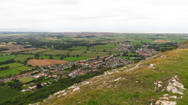
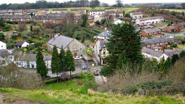
Tan-yr-allt is a small village located in the county of Flintshire, in northeast Wales, United Kingdom. Situated approximately 6 miles northwest of the town of Mold, it is nestled amidst the picturesque Clwydian Range Area of Outstanding Natural Beauty.
The village is characterized by its charming rural setting, surrounded by rolling hills, verdant farmlands, and dense woodlands. It offers a tranquil and idyllic environment for residents and visitors alike, making it a popular destination for those seeking a retreat from the bustle of urban life.
Although small in size, Tan-yr-allt boasts a close-knit community that takes pride in preserving its heritage and promoting a sense of belonging. The village features a mix of traditional stone cottages, modern houses, and a few local businesses, including a village hall that serves as a hub for social gatherings and community events.
For outdoor enthusiasts, Tan-yr-allt offers ample opportunities to explore nature. The Clwydian Range, with its extensive network of walking trails, provides breathtaking panoramic views of the surrounding countryside. Additionally, the nearby Loggerheads Country Park is a popular spot for picnics, woodland walks, and birdwatching.
Despite its rural setting, Tan-yr-allt benefits from its proximity to the town of Mold, where residents can access a wider range of amenities, including shops, supermarkets, schools, and healthcare facilities. The village also enjoys good transport connections, with major roads providing easy access to neighboring towns and cities.
In summary, Tan-yr-allt is a charming village in Flintshire, Wales, known for its tranquil and scenic surroundings. It offers a close-knit community, a rich natural landscape, and convenient access to nearby amenities, making it an attractive place to live or visit.
If you have any feedback on the listing, please let us know in the comments section below.
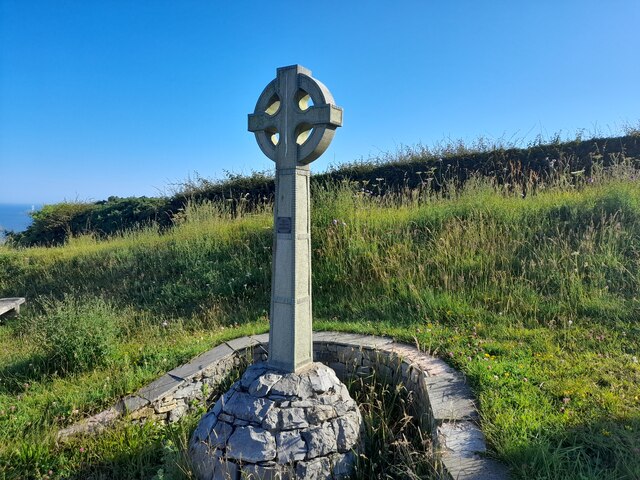
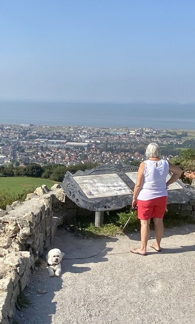
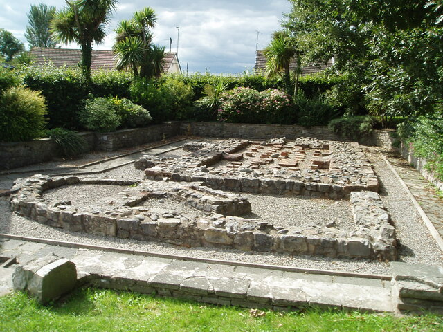
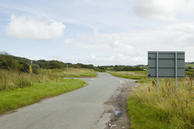
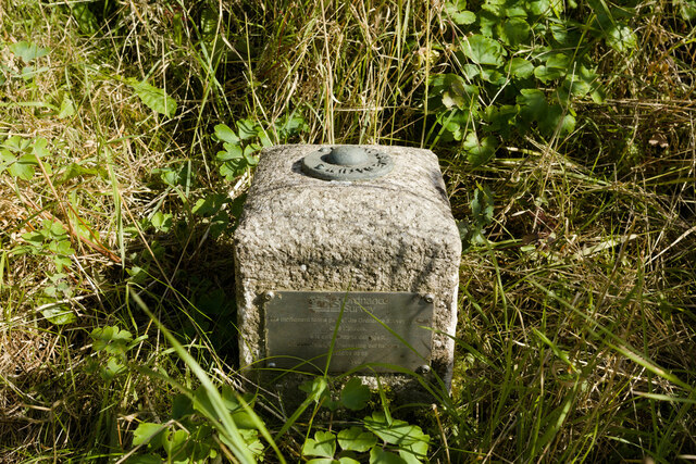
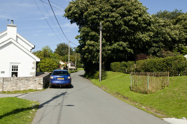
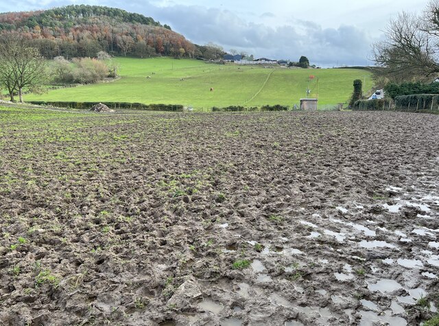
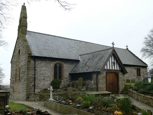
Tan-yr-allt Images
Images are sourced within 2km of 53.314129/-3.40493 or Grid Reference SJ0680. Thanks to Geograph Open Source API. All images are credited.


Tan-yr-allt is located at Grid Ref: SJ0680 (Lat: 53.314129, Lng: -3.40493)
Unitary Authority: Denbighshire
Police Authority: North Wales
What 3 Words
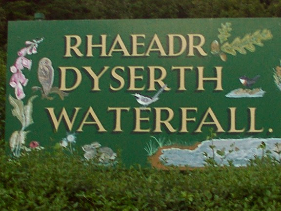
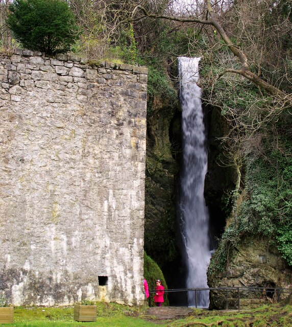
///correct.validated.cheered. Near Dyserth, Denbighshire
Nearby Locations
Related Wikis
Meliden railway station
Meliden railway station served the mining village of Meliden, Flintshire (now Denbighshire), Wales, on the Dyserth branch line. It was used as a way of...
Meliden
Meliden (Welsh: Alltmelyd) is a village between Prestatyn and Dyserth in Denbighshire, Wales. It grew up around the locality of lead mines and limestone...

Graig Fawr
Graig Fawr is a Site of Special Scientific Interest in the preserved county of Clwyd, north Wales, now in Denbighshire. It is 153 metres (502 feet) high...

Alt-y-Graig railway station
Alt-y-Craig railway station (later renamed Allt-y-Graig) was an unstaffed halt on the Dyserth branch line. Like Woodland Park further down the line, passengers...

St. Melyd Golf Links railway station
St. Melyd Golf Links railway station was a stop on Dyserth branch line (now a footpath). Passengers would have to access from the Gwaenysgor facing side...
Gwaenysgor
Gwaenysgor is a small village in Flintshire, Wales. Located near Prestatyn in north Wales, it lies at an elevation of 600 feet, 183 metres. There is one...
Maes Hiraddug
Maes Hiraddug is a Site of Special Scientific Interest in the preserved county of Clwyd, north Wales. It is species-rich neutral grassland which includes...
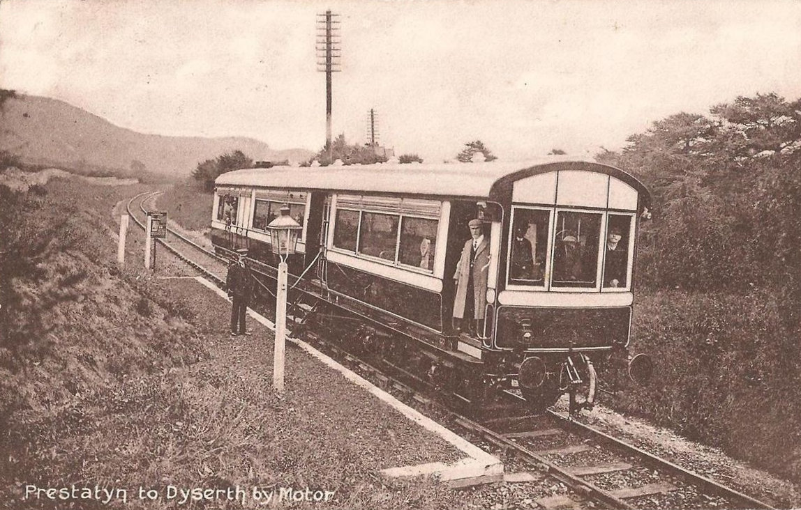
Dyserth railway station
Dyserth railway station served the village of Dyserth, Flintshire (now Denbighshire), Wales. It was the southern terminus of the 2 miles 70 chains (4.6...
Nearby Amenities
Located within 500m of 53.314129,-3.40493Have you been to Tan-yr-allt?
Leave your review of Tan-yr-allt below (or comments, questions and feedback).