Brynhovah

Settlement in Flintshire

Wales

Brynhovah

Barn at Cloy Hall
Barn at Cloy Hall Credit: John H Darch

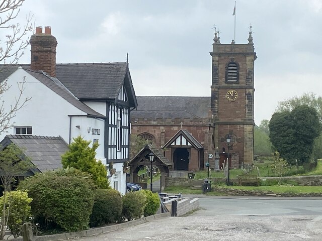
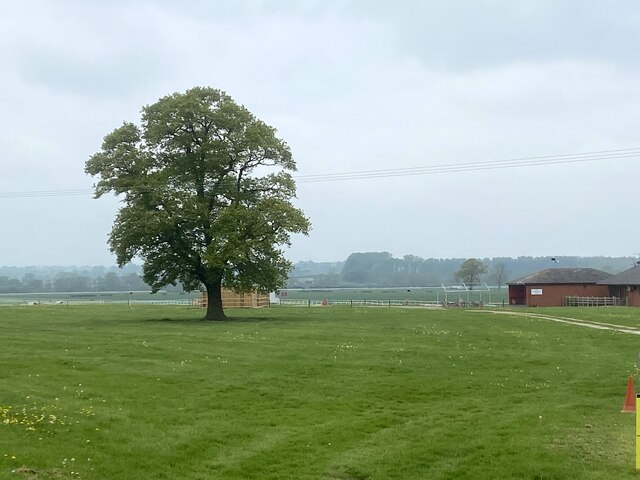
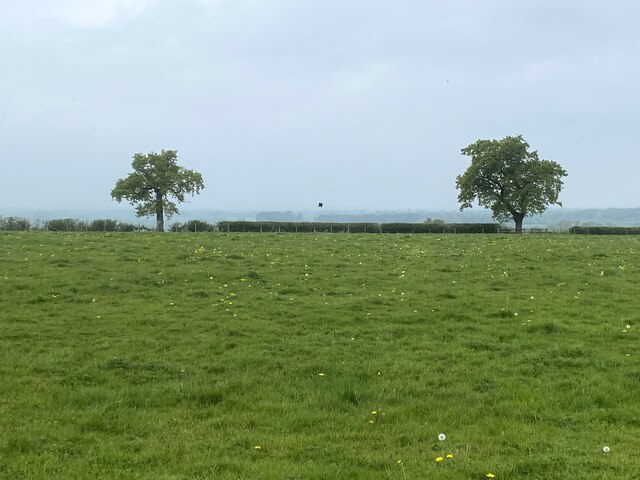
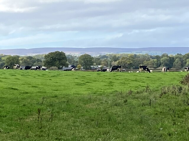
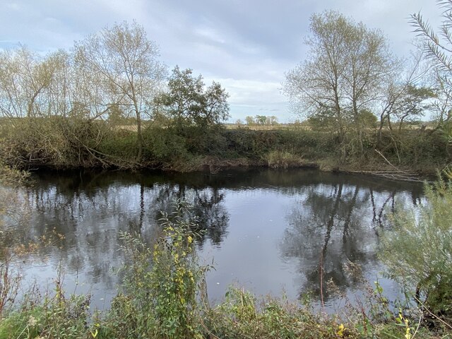
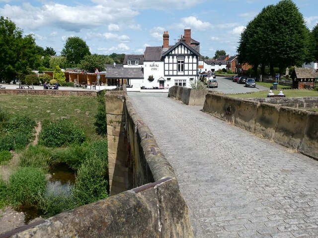
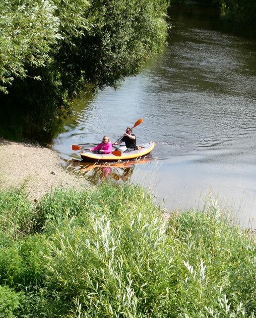
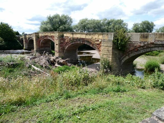
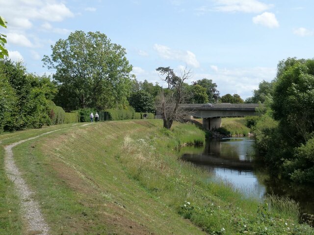
Brynhovah is a small village located in Flintshire, Wales. It is situated within the beautiful Welsh countryside, surrounded by rolling hills and lush greenery. The village is known for its peaceful and picturesque setting, making it a popular destination for those looking to escape the hustle and bustle of city life.

Brynhovah has a close-knit community, with residents who take pride in their village and work together to maintain its charm and character. The village has a few amenities, including a local pub, a small grocery store, and a post office, providing residents with the essentials they need without having to travel far.

The village is also well-connected to nearby towns and cities, with good transport links making it easy for residents to access larger shopping centers, leisure facilities, and employment opportunities. Brynhovah is a popular choice for those seeking a quieter way of life while still being within reach of urban conveniences.

Overall, Brynhovah offers a peaceful and idyllic setting for those looking to settle in a quaint Welsh village surrounded by natural beauty.

If you have any feedback on the listing, please let us know in the comments section below.
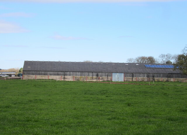
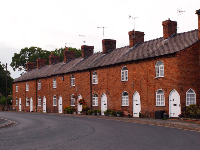
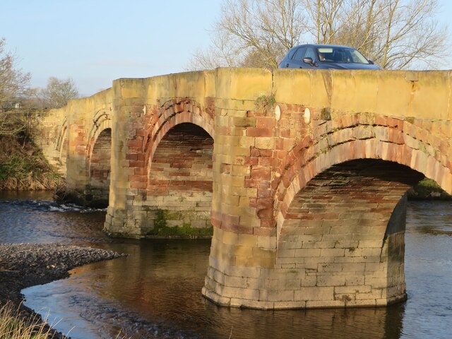
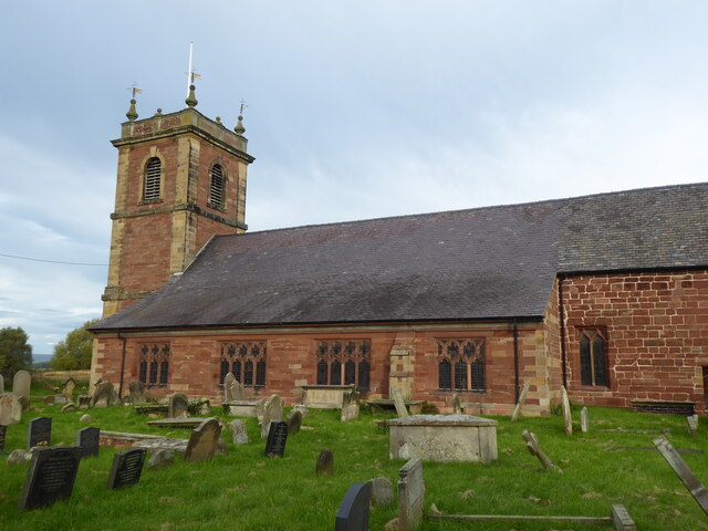
Brynhovah Images

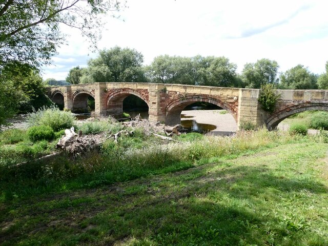
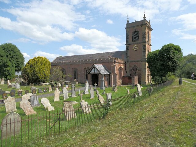
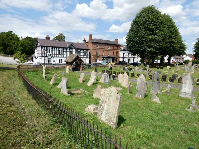
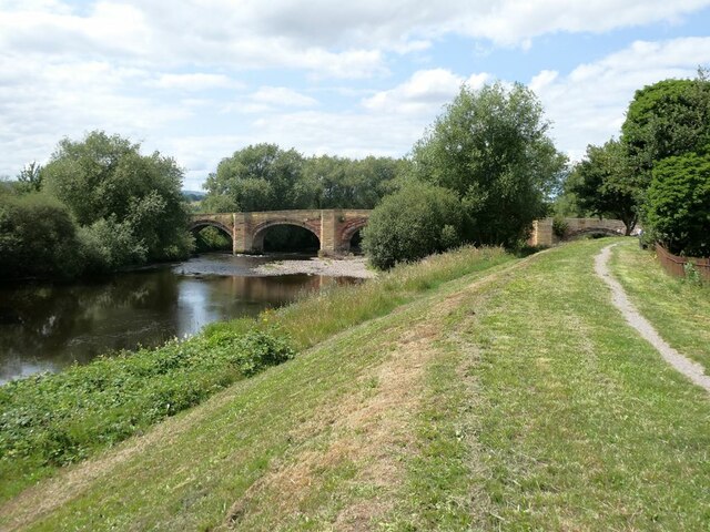
Images are sourced within 2km of 52.985624/-2.919046 or Grid Reference SJ3843. Thanks to Geograph Open Source API. All images are credited.

Barn at Cloy Hall
Barn at Cloy Hall
Dispensary Row, Overton Built around 1800.
Dispensary Row, Overton
Built around 1800.
Pont Bangor-is-Coed Bangor-on-Dee bridge in the early morning spring sunshine.
Pont Bangor-is-Coed
Bangor-on-Dee bridge in the early morning spring sunshine.
Bangor on Dee, St Dunawd
Pub and church The Royal Oak and St Dunawd's Church in Bangor-is-y-Coed.
Pub and church
The Royal Oak and St Dunawd's Church in Bangor-is-y-Coed.
Bangor racecourse Viewed from the B5069.
Bangor racecourse
Viewed from the B5069.
Field with two trees At Cloy Farm.
Field with two trees
At Cloy Farm.
Cattle grazing in a field by the River Dee With a distant view of the Welsh hills.
Cattle grazing in a field by the River Dee
With a distant view of the Welsh hills.
Autumnal reflections In the River Dee.
Autumnal reflections
In the River Dee.
Bangor Bridge The original bridge over the Dee at Bangor-on-Dee/Bangor-is-y-Coed dates from Medieval times and is Grade I listed. Completely inadequate to cope with modern motor  traffic, it was replaced by the Bangor By-pass bridge just upstream in 1978. It still carries one-way light motor traffic from west to east. 

The Royal Oak public house stands on the east bank.
Bangor Bridge
The original bridge over the Dee at Bangor-on-Dee/Bangor-is-y-Coed dates from Medieval times and is Grade I listed. Completely inadequate to cope with modern motor traffic, it was replaced by the Bangor By-pass bridge just upstream in 1978. It still carries one-way light motor traffic from west to east. The Royal Oak public house stands on the east bank.
Kayakers come ashore on the River Dee An inflatable kayak coming in to land just upstream from the old Bangor Bridge.
Kayakers come ashore on the River Dee
An inflatable kayak coming in to land just upstream from the old Bangor Bridge.
Bangor Bridge The original bridge over the Dee at Bangor-on-Dee/Bangor-is-y-Coed dates from Medieval times and is Grade I listed. Completely inadequate to cope with modern motor  traffic, it was replaced by the Bangor By-pass bridge just upstream in 1978. It still carries one-way light motor traffic from west to east. 

Looking downstream; a large quantity of flotsam has accumulated against one of the bridge piers.
Bangor Bridge
The original bridge over the Dee at Bangor-on-Dee/Bangor-is-y-Coed dates from Medieval times and is Grade I listed. Completely inadequate to cope with modern motor traffic, it was replaced by the Bangor By-pass bridge just upstream in 1978. It still carries one-way light motor traffic from west to east. Looking downstream; a large quantity of flotsam has accumulated against one of the bridge piers.
St Dunawd's Church, Bangor-on-Dee/Bangor-is-y-Coed Grade II* listed church, part dating back to the 14th Century. St Dunawd was the abbot of the original monastery which stood on the site in the 6th Century. The flood bank of the River Dee can be seen to the right.
St Dunawd's Church, Bangor-on-Dee/Bangor-is-y-Coed
Grade II* listed church, part dating back to the 14th Century. St Dunawd was the abbot of the original monastery which stood on the site in the 6th Century. The flood bank of the River Dee can be seen to the right.
Churchyard of St Dunawd's Church In Bangor-on-Dee/Bangor-is-y-Coed. The Royal Oak public  house stands on the far side of the road.
Churchyard of St Dunawd's Church
In Bangor-on-Dee/Bangor-is-y-Coed. The Royal Oak public house stands on the far side of the road.
Floodbank on the River Dee Upstream from Bangor Bridge.
Floodbank on the River Dee
Upstream from Bangor Bridge.
Local map of  Bangor-on-Dee/Bangor-is-y-Coed Posted on the wall of the churchyard, this map was compiled from the drawings, memories and records of the people of the area.
Local map of Bangor-on-Dee/Bangor-is-y-Coed
Posted on the wall of the churchyard, this map was compiled from the drawings, memories and records of the people of the area.
Bangor By-pass Bridge The by-pass bridge oat Bangor-on-Dee/Bangor-is-y-Coed on the A525 was built in 1978 to relieve pressure on the original medieval bridge a short way downstream which was completely inadequate to cope with modern traffic.
Bangor By-pass Bridge
The by-pass bridge oat Bangor-on-Dee/Bangor-is-y-Coed on the A525 was built in 1978 to relieve pressure on the original medieval bridge a short way downstream which was completely inadequate to cope with modern traffic.
Show me another place!

Brynhovah is located at Grid Ref: SJ3843 (Lat: 52.985624, Lng: -2.919046)

Unitary Authority: Wrexham

Police Authority: North Wales

What 3 Words

///punctual.anyway.asked. Near Overton, Wrexham

Related Wikis

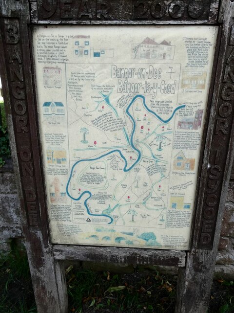
Bangor-on-Dee racecourse

Bangor-on-Dee Racecourse (Welsh: Cae Rasio Bangor-is-y-coed) is a thoroughbred horse racing venue located in Bangor-on-Dee near Wrexham, Wales, United...

Cloy Brook Pastures

Cloy Brook Pastures is a Site of Special Scientific Interest in the preserved county of Clwyd, north Wales. It is an area of wet pasture managed by grazing...

Maelor

The Maelor is an area of north-east Wales along the border with England. It is now entirely part of Wrexham County Borough. The name Maelor is an old Welsh...

Cloy Halt railway station

Cloy Halt railway station was a station to the east of Overton-on-Dee, Wrexham, Wales. The station was opened on 30 June 1932 and closed on 10 September...

Nearby Amenities

Located within 500m of 52.985624,-2.919046
Source: npe
Lat/Long: 52.9831964/-2.9231018
Source: npe
Lat/Long: 52.9838939/-2.9213517
Source: npe
Lat/Long: 52.9843515/-2.920861
Created By: POI Editor
Source: npe
Lat/Long: 52.9857934/-2.9241279
Place: farm
Lat/Long: 52.9871923/-2.9178258
Brynhovah
Name Cy: Brynhovah
Name En: Brynhovah
Place: hamlet
Wikidata: Q107033203
Lat/Long: 52.9844279/-2.9171177
Building: yes
Lat/Long: 52.9820767/-2.9170319
The data included in this document is from www.openstreetmap.org. The data is made available under ODbL.

Have you been to Brynhovah?

Leave your review of Brynhovah below (or comments, questions and feedback).