Stanton

Civil Parish in Staffordshire East Staffordshire

England

Stanton

Trees in the last of the light
Trees in the last of the light Credit: Peter Allen

Stanton is a civil parish located in Staffordshire, England. It is situated approximately 5 miles southeast of the town of Burton upon Trent and covers an area of about 2.5 square miles. The parish is nestled within the beautiful countryside of East Staffordshire and is home to a population of around 1,500 residents.

Stanton is a historic village with a rich heritage. It dates back to the Anglo-Saxon period and was mentioned in the Domesday Book of 1086. Throughout its long history, the village has seen various developments, including the establishment of a pottery industry in the 18th century, which played a significant role in the local economy.

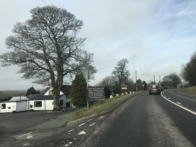
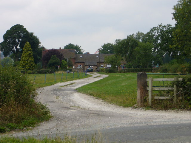
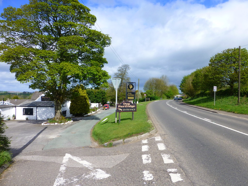
Despite its small size, Stanton offers a range of amenities and services to its residents. These include a primary school, a village hall, a community center, and a local pub. The village also benefits from being situated close to larger towns, providing access to a wider array of facilities such as shops, supermarkets, and healthcare services.

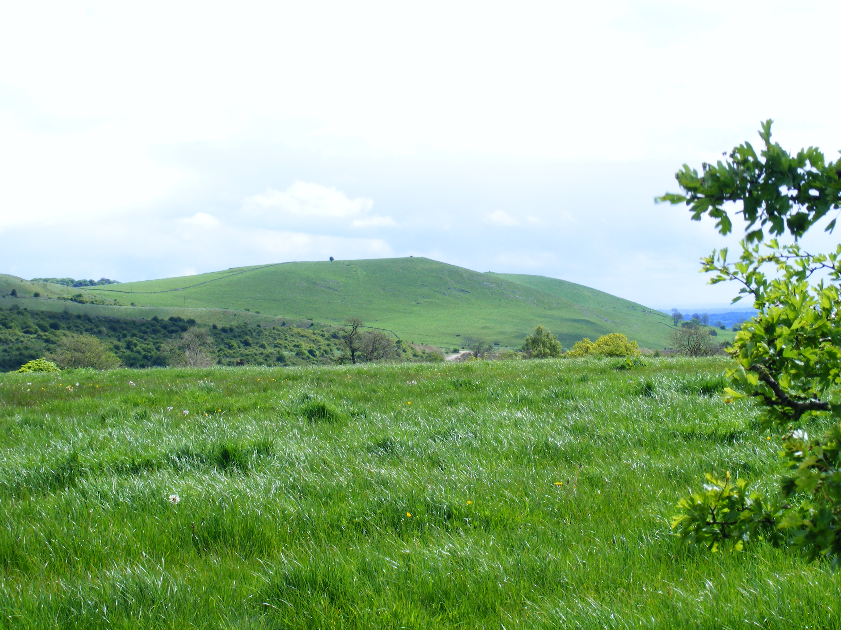
Stanton is surrounded by picturesque countryside, making it an ideal location for those who enjoy outdoor activities. The village is located near the River Trent, which offers opportunities for fishing and boating. There are also several nature reserves and walking trails in the vicinity, providing residents with ample opportunities to explore the natural beauty of the area.

Overall, Stanton is a charming and historic village with a close-knit community and access to a range of amenities and recreational opportunities. Its idyllic location and rich history make it an attractive place to live for those seeking a peaceful and rural lifestyle.

If you have any feedback on the listing, please let us know in the comments section below.

Stanton Images

Images are sourced within 2km of 53.015408/-1.816012 or Grid Reference SK1246. Thanks to Geograph Open Source API. All images are credited.

Trees in the last of the light
Speed Camera Warning Signage
Dog & Partridge - Swinscoe
Dog and Partridge Inn On the edge of the Peak District National Park
Dog and Partridge Inn
On the edge of the Peak District National Park
The Dog and Partridge at Swinscoe
Stanton Chapel in Bankside, Stanton. The stone over the door is inscribed "Primitive Methodist Chapel erected at the sole expense of David Smith. AD 1824". Primitive Methodism started only 30 km away on <a href="https://www.geograph.org.uk/gridref/SJ8557">SJ8557</a> Mow Cop in 1807.
Stanton Chapel
in Bankside, Stanton. The stone over the door is inscribed "Primitive Methodist Chapel erected at the sole expense of David Smith. AD 1824". Primitive Methodism started only 30 km away on SJ8557 Mow Cop in 1807.
St Mary's Church Stanton, Staffordshire
St Mary's Church
Stanton, Staffordshire
Rhodes Cottage Sallyfield Lane, Stanton, Staffordshire. Note the topiary.
Rhodes Cottage
Sallyfield Lane, Stanton, Staffordshire. Note the topiary.
Three Oaks Farm off Sallyfield Lane, Stanton, Staffordshire
Three Oaks Farm
off Sallyfield Lane, Stanton, Staffordshire
Lordspiece Stanton Lane, Mayfield, Staffordshire
Lordspiece
Stanton Lane, Mayfield, Staffordshire
Woodland and fields near Ellastone
The guardian of the Limestone Way
Approaching Lordspiece on the Limestone Way The Way passes through the squeeze stile before arriving at Lordspiece.
Approaching Lordspiece on the Limestone Way
The Way passes through the squeeze stile before arriving at Lordspiece.
The Limestone Way near Swinscoe Looking south, the route passes through the gate.
The Limestone Way near Swinscoe
Looking south, the route passes through the gate.
Disused limekilns at the Weaver Hills Disused limekilns at the Weaver Hills, near Wootton Staffordshire
Disused limekilns at the Weaver Hills
Disused limekilns at the Weaver Hills, near Wootton Staffordshire
Disused limekilns at the Weaver Hills Disused limekilns at the Weaver Hills, near Wootton Staffordshire
Disused limekilns at the Weaver Hills
Disused limekilns at the Weaver Hills, near Wootton Staffordshire
Disused limekilns at the Weaver Hills Disused limekilns at the Weaver Hills, near Wootton Staffordshire
Disused limekilns at the Weaver Hills
Disused limekilns at the Weaver Hills, near Wootton Staffordshire
Pond and sheep A pond at the side of Bullgap Lane near to Townend Farm
Pond and sheep
A pond at the side of Bullgap Lane near to Townend Farm
Show me another place!

Stanton is located at Grid Ref: SK1246 (Lat: 53.015408, Lng: -1.816012)

Administrative County: Staffordshire

District: East Staffordshire

Police Authority: Staffordshire

What 3 Words

///ship.thread.merely. Near Mayfield, Staffordshire

Nearby Locations

Stanton Stanton

Related Wikis

Stanton, Staffordshire

Stanton is a small village situated at the eastern end of the Weaver Hills, Staffordshire, England. Stanton is located 146 miles (235.0 km) north-west...

Thorswood

Thorswood is a nature reserve of the Staffordshire Wildlife Trust, situated in the Weaver Hills near the village of Stanton, in Staffordshire, England...

Swinscoe

Swinscoe is a small hamlet within the Staffordshire Moorlands in Staffordshire, England. Administratively, the hamlet is part of the civil parish of Blore...

Blore

Blore (grid reference SK137493) is a small village and parish in the Staffordshire Moorlands District of England. It is on an acclivity above Dovedale...

Wootton, Staffordshire

Wootton is a village and civil parish in Staffordshire, England. The village is situated approximately 20 miles (30 km) east from Stoke-on-Trent and 20...

Blore with Swinscoe

Blore with Swinscoe is a civil parish north-west of Ashbourne, in the Staffordshire Moorlands district of Staffordshire, England, on the edge of the Peak...

Weaver Hills

The Weaver Hills are a small range of hills in north east Staffordshire, England.The Weaver Hills are about 15 miles (24 km) east of Stoke-on-Trent and...

Calwich Abbey

Calwich Abbey, previously Calwich Priory, was in turn the name of a medieval Augustinian priory and two successive country houses built on the same site...

Nearby Amenities

Located within 500m of 53.015408,-1.816012
Bus Stop
Stanton Village Hall
Naptan AtcoCode: 3800C307700
Naptan Bearing: E
Naptan CommonName: Stanton Village Hall
Naptan Indicator: Adj
Naptan Landmark: Village Hall
Naptan Street: Sallyfield Lane
Naptan Verified: no
Source: naptan_import
Lat/Long: 53.0116437/-1.8122141
Bench
Ele: 243.3375244
Lat/Long: 53.015112/-1.8162264
Ele: 245.0198975
Information: board
Tourism: information
Lat/Long: 53.0152282/-1.8164624
Ele: 240.6939697
Lat/Long: 53.011926/-1.8134473
Ele: 241.6552734
Lat/Long: 53.0120664/-1.8135772
Ele: 254.3927002
Lat/Long: 53.0134364/-1.8149293
Ele: 268.8123779
Lat/Long: 53.0178299/-1.8205462
Ele: 240.2133789
Lat/Long: 53.0147164/-1.815808
Ele: 264.9670410
Lat/Long: 53.0171261/-1.8196572
Ele: 261.1218262
Lat/Long: 53.0167326/-1.8190618
Ele: 251.7490234
Lat/Long: 53.015973/-1.8179252
Ele: 249.8264160
Lat/Long: 53.0157527/-1.8175281
Ele: 229.6389160
Lat/Long: 53.0141657/-1.8174513
Ele: 229.1582031
Information: board
Tourism: information
Lat/Long: 53.0118064/-1.8131505
Ele: 224.8323975
Lat/Long: 53.0128151/-1.8165032
Ele: 225.7937012
Lat/Long: 53.0125617/-1.8164013
Ele: 227.4759521
Lat/Long: 53.0120292/-1.8158085
Ele: 230.3598633
Lat/Long: 53.011884/-1.815256
Ele: 229.3985596
Lat/Long: 53.0119113/-1.8154606
Ele: 228.9179688
Lat/Long: 53.0119816/-1.8156465
Stanton
Place: village
Lat/Long: 53.0116588/-1.8131274
Ele: 220.0000000
Lat/Long: 53.011314/-1.8165079
Ele: 220.0000000
Lat/Long: 53.0113169/-1.8164657
Barrier: stile
Ele: 221.0000000
Lat/Long: 53.0113576/-1.8163818
Ele: 226.0000000
Lat/Long: 53.0113555/-1.8169493
Barrier: stile
Ele: 225.0000000
Steps: 0
Stile: stepover
Lat/Long: 53.0113402/-1.8168898
Barrier: stile
Ele: 225.0000000
Stile: squeezer
Lat/Long: 53.011338/-1.8168572
Addr City: Ashbourne
Addr Housename: The Village Hall
Addr Postcode: DE6 2DA
Addr Village: Stanton
Disused Amenity: post_office
Old Name: Stanton Post Office
Was Ref Pol Id: 128220
Lat/Long: 53.0117954/-1.813285
Give Way
Direction: backward
Lat/Long: 53.0119044/-1.8133614
The data included in this document is from www.openstreetmap.org. The data is made available under ODbL.

Have you been to Stanton?

Leave your review of Stanton below (or comments, questions and feedback).