Stanton
Settlement in Staffordshire East Staffordshire
England
Stanton

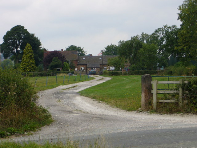
Stanton is a small village located in the county of Staffordshire, England. Situated approximately 8 miles north of Burton upon Trent and 5 miles south of Ashby-de-la-Zouch, Stanton is nestled in a rural setting amidst the picturesque countryside of the National Forest.
The village is known for its historic charm and traditional architecture, with many buildings dating back several centuries. The centerpiece of Stanton is St. Bartholomew's Church, an ancient parish church that dates back to the 13th century. The church is a prominent feature of the village and attracts visitors with its beautiful stained glass windows and intricate stone carvings.
Stanton is also home to a close-knit community that takes pride in its local amenities. The village has a primary school, a village hall, and a cricket ground, which serves as a hub for social and recreational activities. The surrounding countryside offers a range of outdoor pursuits, including walking, cycling, and horse riding, making Stanton an ideal location for nature lovers and outdoor enthusiasts.
Despite its rural setting, Stanton benefits from good transport links. The A444 road runs through the village, connecting it to nearby towns and cities, while the nearby Burton upon Trent railway station provides regular train services to destinations across the country.
Overall, Stanton offers a tranquil and idyllic setting for residents and visitors alike, combining the charm of a traditional English village with easy access to modern amenities and the natural beauty of the surrounding countryside.
If you have any feedback on the listing, please let us know in the comments section below.
Stanton Images
Images are sourced within 2km of 53.011653/-1.8112095 or Grid Reference SK1246. Thanks to Geograph Open Source API. All images are credited.


Stanton is located at Grid Ref: SK1246 (Lat: 53.011653, Lng: -1.8112095)
Administrative County: Staffordshire
District: East Staffordshire
Police Authority: Staffordshire
What 3 Words
///vipers.lights.zaps. Near Mayfield, Staffordshire
Related Wikis

Stanton, Staffordshire
Stanton is a small village situated at the eastern end of the Weaver Hills, Staffordshire, England. Stanton is located 146 miles (235.0 km) north-west...

Thorswood
Thorswood is a nature reserve of the Staffordshire Wildlife Trust, situated in the Weaver Hills near the village of Stanton, in Staffordshire, England...
Swinscoe
Swinscoe is a small hamlet within the Staffordshire Moorlands in Staffordshire, England. Administratively, the hamlet is part of the civil parish of Blore...

Wootton, Staffordshire
Wootton is a village and civil parish in Staffordshire, England. The village is situated approximately 20 miles (30 km) east from Stoke-on-Trent and 20...

Blore
Blore (grid reference SK137493) is a small village and parish in the Staffordshire Moorlands District of England. It is on an acclivity above Dovedale...

Calwich Abbey
Calwich Abbey, previously Calwich Priory, was in turn the name of a medieval Augustinian priory and two successive country houses built on the same site...
Blore with Swinscoe
Blore with Swinscoe is a civil parish north-west of Ashbourne, in the Staffordshire Moorlands district of Staffordshire, England, on the edge of the Peak...
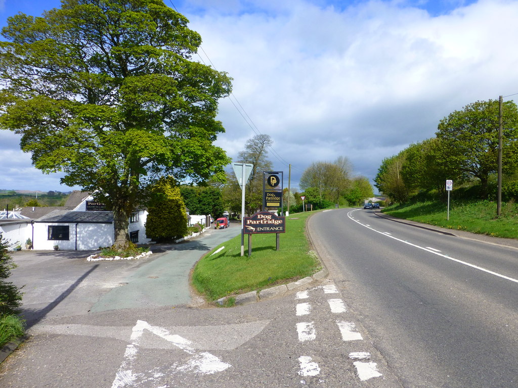
Mayfield, Staffordshire
Mayfield is a village on the outskirts of Ashbourne in Derbyshire, about 9 miles from Uttoxeter, situated in East Staffordshire. The village is divided...
Nearby Amenities
Located within 500m of 53.011653,-1.8112095Have you been to Stanton?
Leave your review of Stanton below (or comments, questions and feedback).