Staining
Civil Parish in Lancashire Fylde
England
Staining
Staining is a civil parish located in Lancashire, England. Situated just four miles west of the coastal town of Blackpool, it is a small and charming rural area with a population of around 2,500 residents.
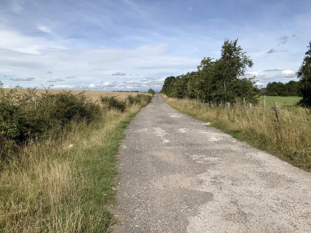
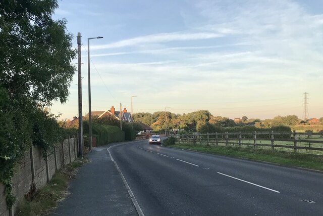
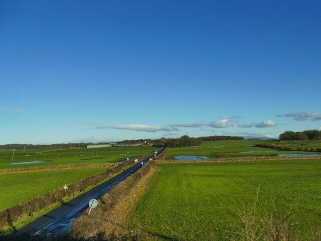
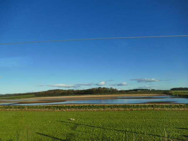
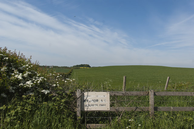
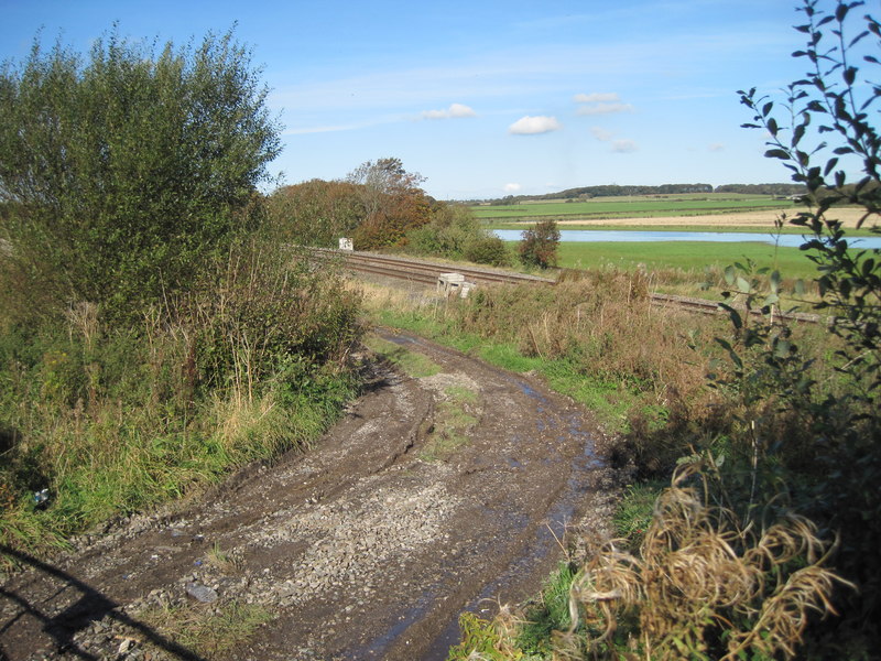
The parish is surrounded by beautiful countryside, offering stunning views of the nearby Fylde coast and the Bowland Fells. The village itself is characterized by traditional stone-built houses and a close-knit community atmosphere.
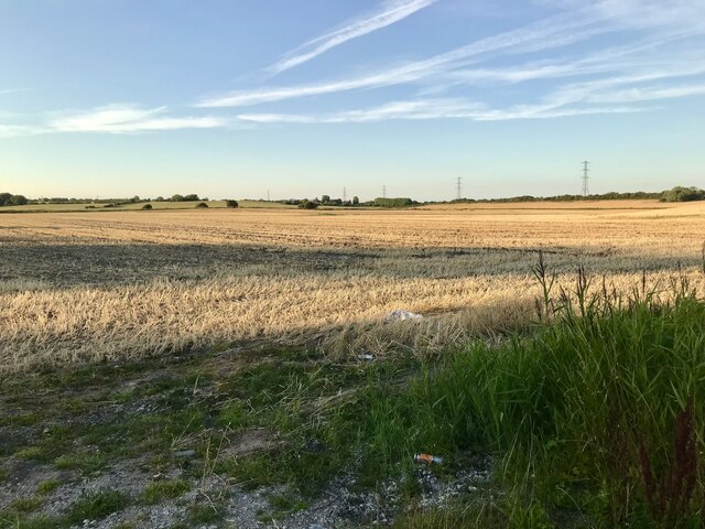
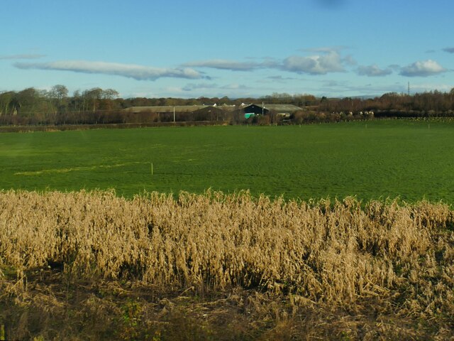
Despite its small size, Staining has a rich history that dates back to the Domesday Book of 1086, where it was mentioned as "Staininges." The village was primarily an agricultural community, with farmers cultivating the fertile land surrounding the area.
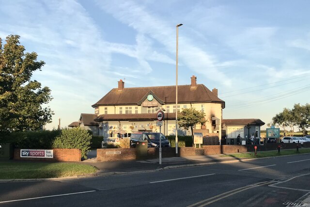
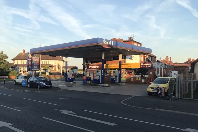
Today, Staining maintains its rural character, although it has seen some residential development in recent years. The village has a primary school, a church, a pub, and a few local shops, providing essential services to its residents.
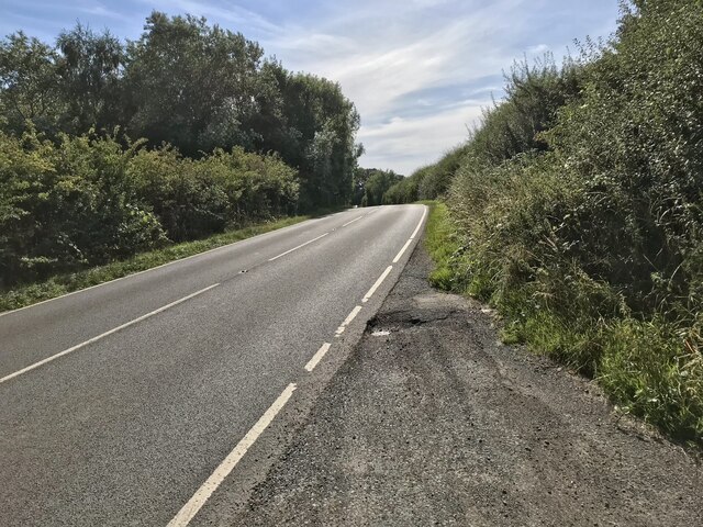
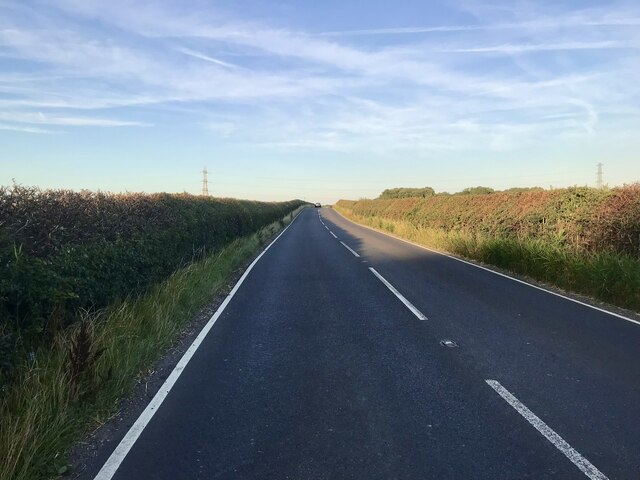
Nature lovers and outdoor enthusiasts will find plenty to explore in Staining. The surrounding countryside offers numerous walking and cycling routes, allowing visitors to immerse themselves in the tranquil beauty of the area. Additionally, Staining is located near the popular coastal resort of Blackpool, with its famous attractions such as the Blackpool Tower and Pleasure Beach.
In conclusion, Staining is a picturesque civil parish in Lancashire that offers a peaceful and idyllic setting for its residents. With its rich history, beautiful landscapes, and close proximity to Blackpool, it provides a perfect balance between rural charm and access to modern amenities.
If you have any feedback on the listing, please let us know in the comments section below.
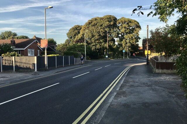
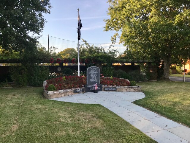
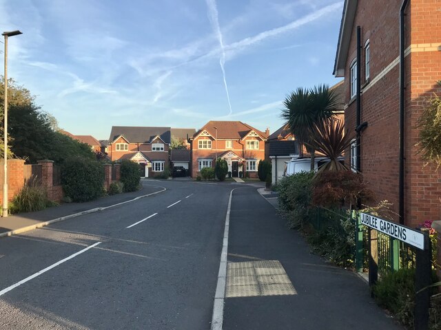
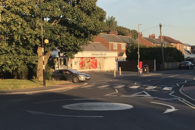
Staining Images
Images are sourced within 2km of 53.820399/-2.979779 or Grid Reference SD3536. Thanks to Geograph Open Source API. All images are credited.


![Blackpool and Poulton le Fylde An aerial view from above The Fylde. Tower is between the North Pier [RH side] and the adjacent Central Pier.](https://s1.geograph.org.uk/geophotos/04/67/62/4676213_fcfb3834.jpg)
Staining is located at Grid Ref: SD3536 (Lat: 53.820399, Lng: -2.979779)
Administrative County: Lancashire
District: Fylde
Police Authority: Lancashire
What 3 Words
///vital.caged.unwanted. Near Poulton-le-Fylde, Lancashire
Nearby Locations
Related Wikis
Staining, Lancashire
Staining is a village and civil parish in Lancashire, England, on the Fylde coast close to the seaside resorts of Blackpool and Lytham St Annes, and the...
Singleton railway station (Lancashire)
Singleton railway station served the village of Singleton in Lancashire, England. == History == The station was opened by the Preston and Wyre Joint Railway...
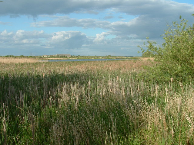
Marton Mere Local Nature Reserve
Marton Mere is a mere (lake) and Local Nature Reserve in Blackpool, Lancashire, England. It is located near to the Blackpool districts of Marton and Mereside...

Baines School
Baines School is a secondary school in Poulton-Le-Fylde, Lancashire, England. It was founded through James Baines will in 1717 and is a former grammar...
Related Videos

Marton Mere Holiday Park - What You Can Expect In 2023 | UK Caravan Holidays
Hey guys! In today's vlog, we take a tour of Haven Marton Mere Holiday Park in Blackpool. A tranquil lakeside retreat offering a ...

🇬🇧 HAVEN MARTON MERE CARAVAN HOLIDAY PARK BLACKPOOL VIRTUAL WALK 🏴
This virtual walking tour shows how quick you can walk from your caravan to have a quick scenery change to Marton Mere Nature ...

Exploring Marton Mere Holiday Park, Blackpool. #travel #fy #uktravel #blackpool #england
Haven Marton Mere Holiday Park Blackpool.

Blackpool Touring Caravan Holiday Marton Mere Haven
I have realised that I haven't yet published all our family holiday videos. Here's one back from March 2016 when we took our ...
Nearby Amenities
Located within 500m of 53.820399,-2.979779Have you been to Staining?
Leave your review of Staining below (or comments, questions and feedback).