Stainforth
Civil Parish in Yorkshire Doncaster
England
Stainforth

Stainforth is a civil parish located in the county of Yorkshire, England. Situated in the district of Craven, it lies approximately 2 miles north of the market town of Settle. The civil parish covers an area of around 7 square miles.
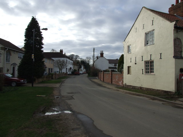
Stainforth is a small rural community that is surrounded by picturesque countryside, offering stunning views of the Yorkshire Dales. The village is situated on the banks of the River Ribble and is known for its charming stone-built houses and historic buildings.
The village is home to a population of around 400 residents, who enjoy a peaceful and close-knit community. Stainforth is known for its friendly and welcoming atmosphere, with residents taking pride in maintaining the village's beauty and heritage.
The village has a few amenities, including a local pub, Stainforth Force waterfall, and a quaint village hall that serves as a hub for community events and gatherings. The area is also popular among outdoor enthusiasts, with many walking and cycling routes available for exploring the stunning surrounding countryside.
Stainforth is also known for its rich history. The area has evidence of human settlement dating back to the Neolithic period and has seen various historical events and developments over the years. The village has a strong agricultural heritage, with farming playing a significant role in the local economy.
Overall, Stainforth, Yorkshire (Civil Parish) offers a peaceful rural retreat with beautiful scenery, a friendly community, and a rich historical background.
If you have any feedback on the listing, please let us know in the comments section below.
Stainforth Images
Images are sourced within 2km of 53.596015/-1.06523 or Grid Reference SE6111. Thanks to Geograph Open Source API. All images are credited.


Stainforth is located at Grid Ref: SE6111 (Lat: 53.596015, Lng: -1.06523)
Division: West Riding
Administrative County: South Yorkshire
District: Doncaster
Police Authority: South Yorkshire
What 3 Words
///jets.dabbling.expand. Near Stainforth, South Yorkshire
Nearby Locations
Related Wikis

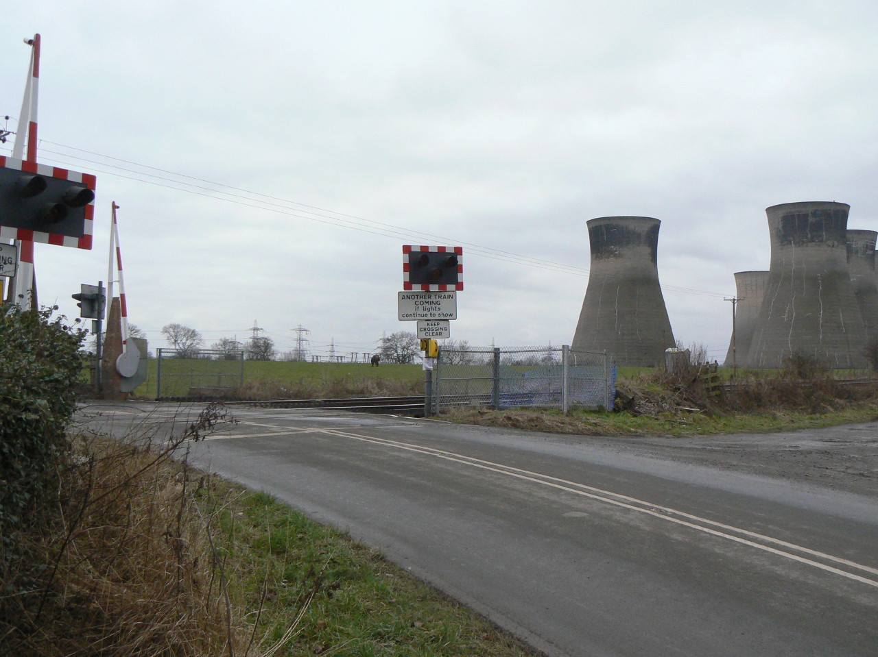
Bramwith railway station
Bramwith railway station was a small station on the South Yorkshire Railway's line between Doncaster and Thorne. It served the village of Kirk Bramwith...
Kirk Bramwith
Kirk Bramwith is a village and civil parish in the Metropolitan Borough of Doncaster in South Yorkshire, England. It had a population of 200 in 2001,...
Bramwith railway station (West Riding and Grimsby Railway)
Bramwith (WR&G) railway station, which was named Barnby Dun on opening, believed to be 1872, due to its close proximity to the village of that name, took...

Ea Beck
The Ea Beck, also spelled Eaubeck or Eau Beck, is a small river in South Yorkshire, England, that flows eastwards into the River Don at Thorpe-in-Balne...
Nearby Amenities
Located within 500m of 53.596015,-1.06523Have you been to Stainforth?
Leave your review of Stainforth below (or comments, questions and feedback).