Clinkum Wood
Wood, Forest in Lancashire Fylde
England
Clinkum Wood
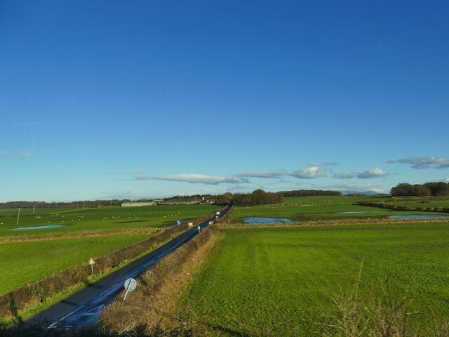
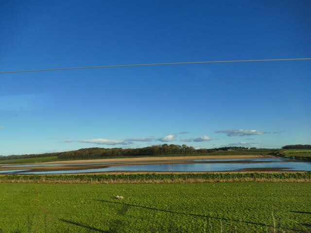
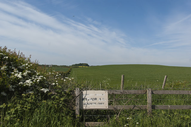
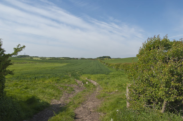
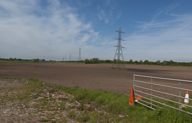
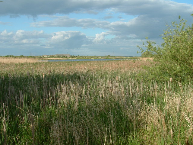
Clinkum Wood is a picturesque forest located in Lancashire, England. Spanning over 100 acres, this ancient woodland is a popular destination for nature enthusiasts and outdoor adventurers alike. The wood is situated in a rural area, surrounded by rolling hills and scenic countryside.
The forest is characterized by its diverse range of trees, including oak, beech, and birch, creating a rich and vibrant ecosystem. The dense canopy provides shelter for a variety of wildlife, such as birds, squirrels, and deer, making it a haven for nature lovers and birdwatchers.
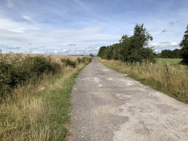
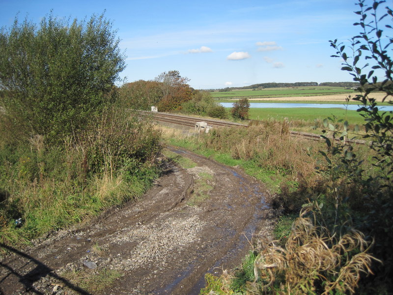
Visitors to Clinkum Wood can explore numerous walking trails and pathways that wind through the forest. These trails offer stunning views of the surrounding landscape and provide opportunities for peaceful walks and picnics. The wood is also home to a small stream, adding to its tranquil and serene atmosphere.
Clinkum Wood holds historical significance as well, with remnants of ancient settlements and artifacts dating back centuries. Archaeological excavations have uncovered evidence of human activity, including pottery and tools, providing insights into the area's past.
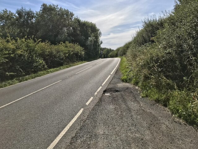
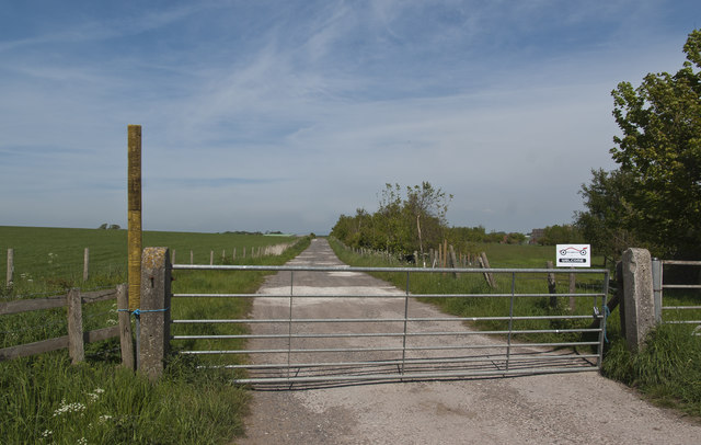
The forest is easily accessible, with ample parking and well-maintained paths. It is a popular destination for families, couples, and individuals seeking a peaceful retreat in nature. Whether you are looking to immerse yourself in the beauty of the woodlands, spot wildlife, or simply enjoy a leisurely stroll, Clinkum Wood offers a serene and idyllic setting for all.
If you have any feedback on the listing, please let us know in the comments section below.
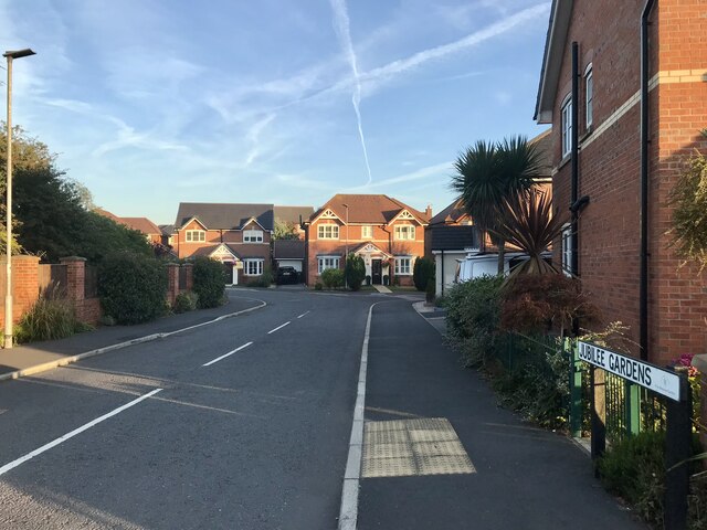
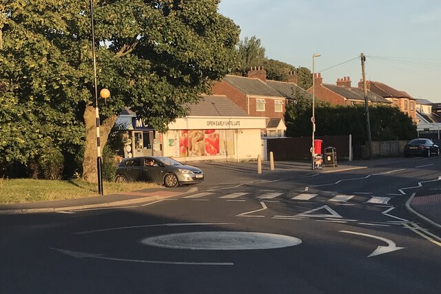
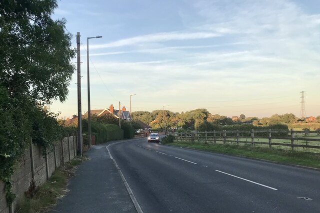
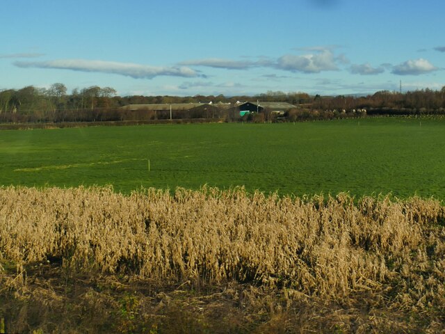
Clinkum Wood Images
Images are sourced within 2km of 53.823775/-2.9746078 or Grid Reference SD3536. Thanks to Geograph Open Source API. All images are credited.


![Blackpool and Poulton le Fylde An aerial view from above The Fylde. Tower is between the North Pier [RH side] and the adjacent Central Pier.](https://s1.geograph.org.uk/geophotos/04/67/62/4676213_fcfb3834.jpg)

Clinkum Wood is located at Grid Ref: SD3536 (Lat: 53.823775, Lng: -2.9746078)
Administrative County: Lancashire
District: Fylde
Police Authority: Lancashire
What 3 Words
///oval.enter.chat. Near Poulton-le-Fylde, Lancashire
Nearby Locations
Related Wikis
Singleton railway station (Lancashire)
Singleton railway station served the village of Singleton in Lancashire, England. == History == The station was opened by the Preston and Wyre Joint Railway...
Staining, Lancashire
Staining is a village and civil parish in Lancashire, England, on the Fylde coast close to the seaside resorts of Blackpool and Lytham St Annes, and the...

Baines School
Baines School is a secondary school in Poulton-Le-Fylde, Lancashire, England. It was founded through James Baines will in 1717 and is a former grammar...
Marton Mere Local Nature Reserve
Marton Mere is a mere (lake) and Local Nature Reserve in Blackpool, Lancashire, England. It is located near to the Blackpool districts of Marton and Mereside...

Blackpool urban area
The Blackpool Built-up Area or Blackpool Urban Area is an urban area in Lancashire, England, consisting of the large town of Blackpool along with several...

Singleton Bank rail crash
The Singleton Bank rail crash occurred on 16 July 1961 near Weeton, Lancashire, England. == Events == The 8:50 diesel multiple unit train from Colne to...

Singleton, Lancashire
Singleton is a village and civil parish in Lancashire, England. It is situated on the coastal plain called the Fylde. It is located south-east of Poulton...
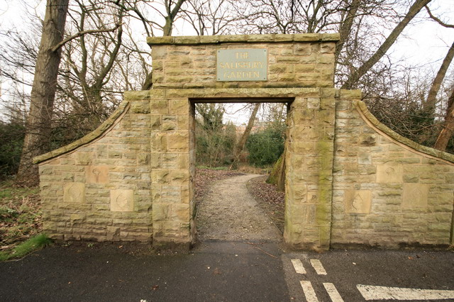
Salisbury Woodland Gardens
Salisbury Woodland Gardens is an open space located in the east of Blackpool, flanked by East Park Drive and Woodside Drive and linking Blackpool Zoo with...
Nearby Amenities
Located within 500m of 53.823775,-2.9746078Have you been to Clinkum Wood?
Leave your review of Clinkum Wood below (or comments, questions and feedback).