Stainmore
Civil Parish in Westmorland Eden
England
Stainmore
Stainmore is a civil parish located in the county of Westmorland, in the North West of England. It is situated in the Eden district, which covers a large part of the historic county of Westmorland. Stainmore is a rural area characterized by its stunning natural beauty and tranquil surroundings.
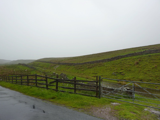
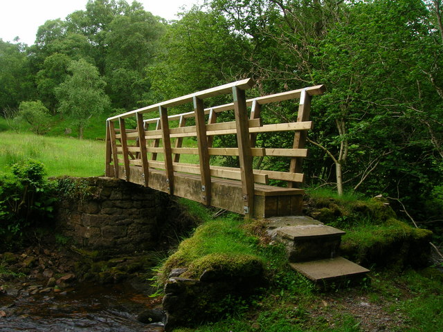
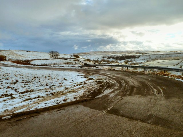
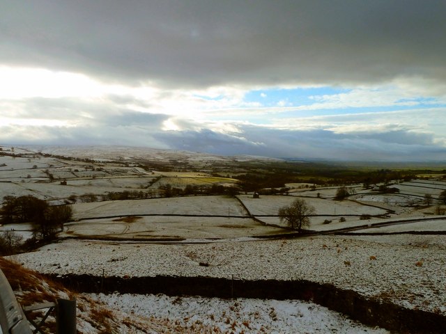
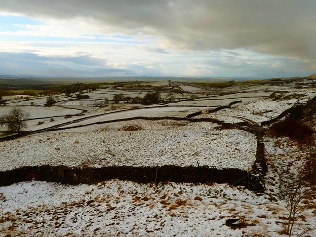
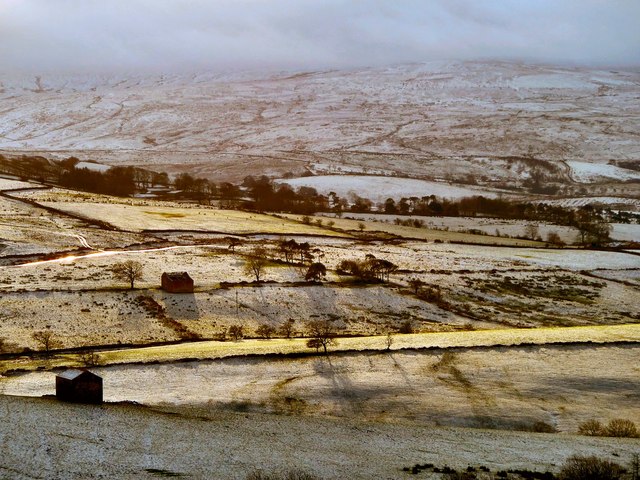
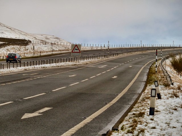
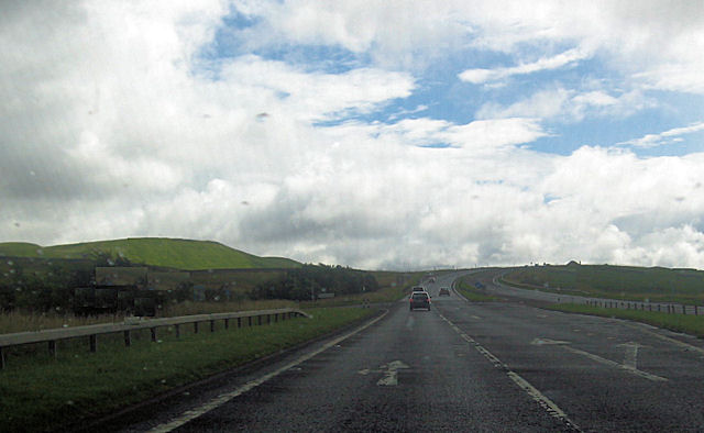
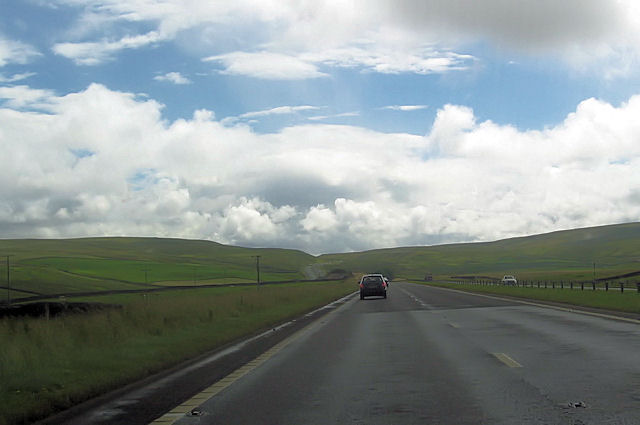
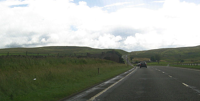
The parish is named after Stainmore, a high moorland ridge that runs through the area. It is known for its wild and rugged landscape, with rolling hills, open fields, and scattered woodlands. The area is a haven for outdoor enthusiasts, offering opportunities for hiking, cycling, and wildlife spotting.
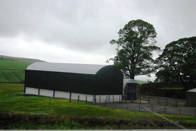
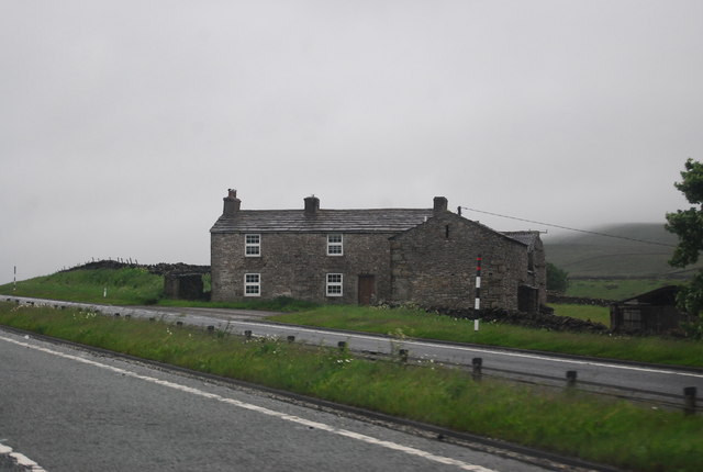
Stainmore is also home to a small population, with scattered residential properties and farms spread across the parish. The community is tight-knit, with a strong sense of community spirit and a friendly atmosphere. The parish has a village hall, which serves as a hub for social events and gatherings.
Economically, Stainmore relies heavily on agriculture, with many residents engaged in farming and livestock rearing. The area is known for its high-quality produce, including beef, lamb, and dairy products. There are also a few small businesses and shops that cater to the local community's needs.
Overall, Stainmore is a picturesque and peaceful civil parish, offering a rural lifestyle and a close connection to nature. Its breathtaking landscapes, tight-knit community, and agricultural heritage make it a charming place to live or visit in Westmorland.
If you have any feedback on the listing, please let us know in the comments section below.
Stainmore Images
Images are sourced within 2km of 54.521237/-2.23124 or Grid Reference NY8514. Thanks to Geograph Open Source API. All images are credited.


Stainmore is located at Grid Ref: NY8514 (Lat: 54.521237, Lng: -2.23124)
Administrative County: Cumbria
District: Eden
Police Authority: Cumbria
What 3 Words
///jabs.hips.compacts. Near Kirkby Stephen, Cumbria
Nearby Locations
Related Wikis

Battle of Stainmore
The Battle of Stainmore was probably fought between the Earldom of Bernicia, led by Oswulf, and the forces of the last Norse king of Jórvík (York), Eric...
Snowdrift at Bleath Gill
Snowdrift at Bleath Gill is a 1955 British Transport Film documentary directed by Kenneth Fairbairn. The 10-minute-long film presents a first-hand account...

Stainmore
Stainmore is a remote geographic area in the Pennines on the border of Cumbria, County Durham and North Yorkshire. The name is used for a civil parish...

Barras, Cumbria
Barras is a hamlet close to the River Belah, about 4 miles (6 kilometres) south-east of Brough, Cumbria, England. Until the creation of the new county...

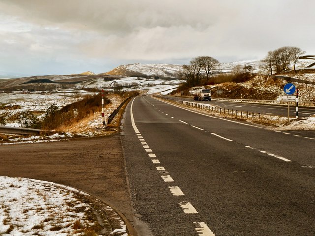
A66 road
The A66 is a major road in Northern England, which in part follows the course of the Roman road from Scotch Corner to Penrith. It runs from east of Middlesbrough...

Barras railway station
Barras railway station was situated on the South Durham & Lancashire Union Railway between Barnard Castle and Kirkby Stephen East. == History == The station...

Stainmore Summit
Stainmore Summit is the highest point on the trans-Pennine South Durham & Lancashire Union Railway, also known as the Stainmore Railway in Northern England...

Belah Viaduct
The Belah Viaduct was a railway viaduct on the South Durham and Lancashire Union Railway, crossing the River Belah, in Cumbria, England, about 1 mile...
Nearby Amenities
Located within 500m of 54.521237,-2.23124Have you been to Stainmore?
Leave your review of Stainmore below (or comments, questions and feedback).