Great Moss
Downs, Moorland in Westmorland Eden
England
Great Moss
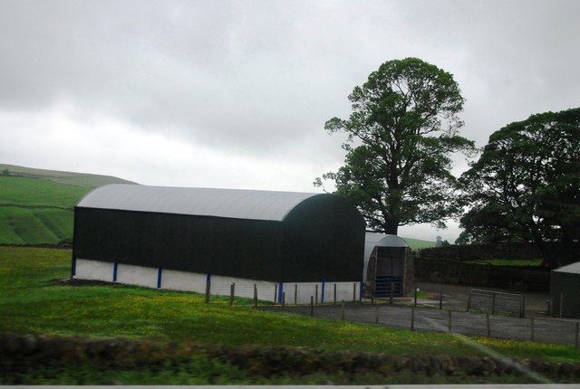
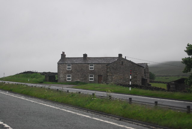
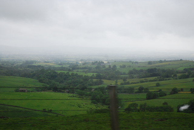
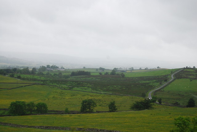
Great Moss is a vast and picturesque expanse of terrain located in Westmorland, a historic county in the northwest of England. Situated amidst the awe-inspiring beauty of the Lake District National Park, this area is renowned for its diverse landscapes, encompassing downs, moorland, and wetlands.
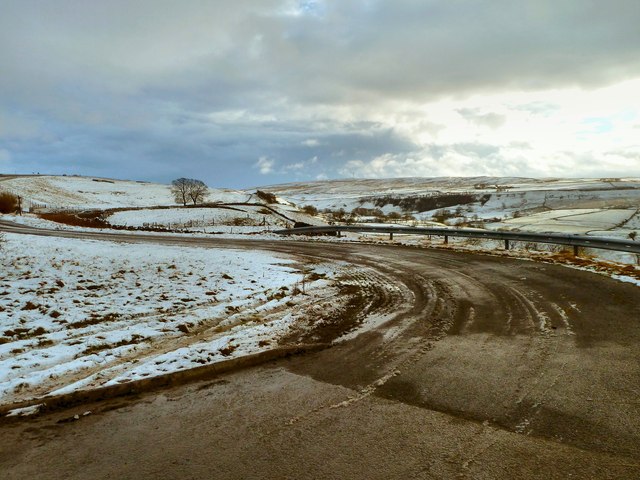
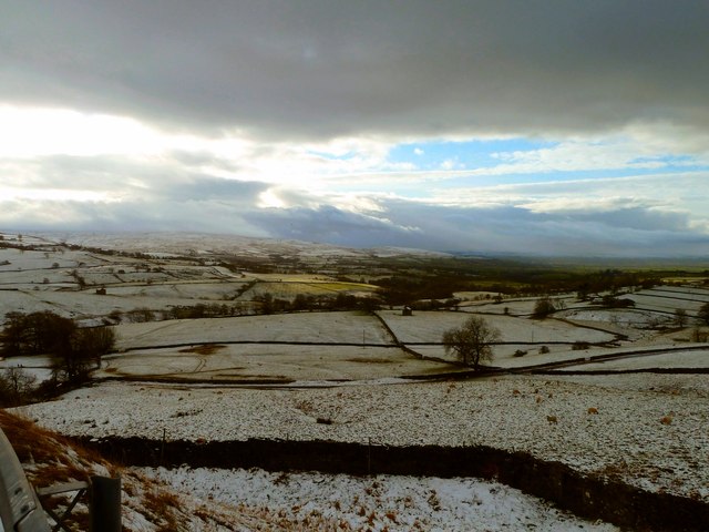
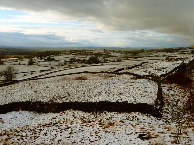
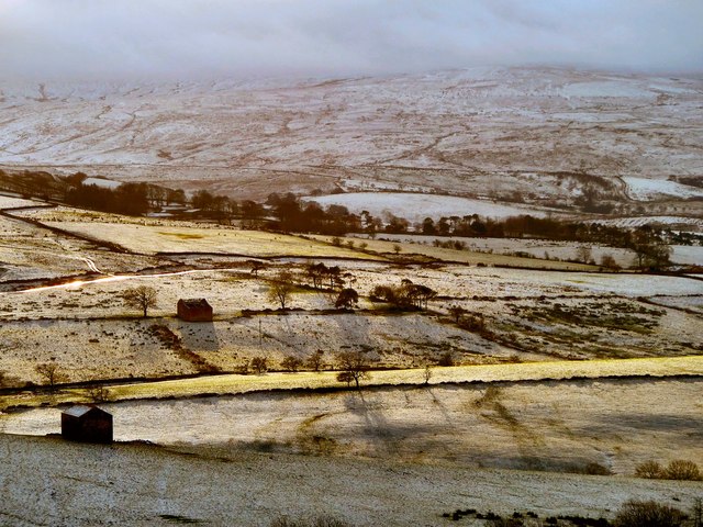
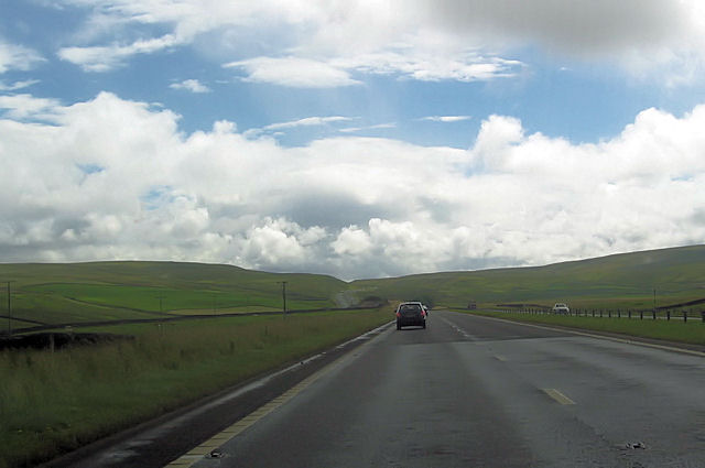
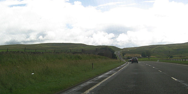
The downs of Great Moss stretch across rolling hills, adorned with lush green grass and occasional clusters of wildflowers. This idyllic scenery provides a perfect backdrop for leisurely hikes and peaceful picnics. The undulating terrain offers breathtaking panoramic views of the surrounding countryside, including the towering peaks of the nearby fells.
Moorland dominates a significant portion of Great Moss, featuring extensive heathland and peat bogs. This unique ecosystem is home to various species of birds, including curlews and red grouse, as well as a rich variety of flora such as heather and cotton grass. The moorland also boasts several walking trails that wind through its distinctive landscape, allowing visitors to immerse themselves in the tranquility of the area.
The wetlands of Great Moss are a haven for wildlife, providing a habitat for numerous species of waterfowl, such as ducks and geese. The areas are dotted with small ponds and marshes, creating a diverse and thriving ecosystem. Birdwatchers and nature enthusiasts can observe the fascinating behavior of these creatures while taking in the serene surroundings.
Great Moss in Westmorland is a haven for nature lovers, offering a harmonious blend of downs, moorland, and wetlands. Whether exploring the rolling hills, traversing the moors, or observing the rich avian life, visitors are sure to be captivated by the natural beauty and tranquility of this remarkable landscape.
If you have any feedback on the listing, please let us know in the comments section below.
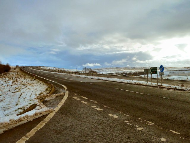
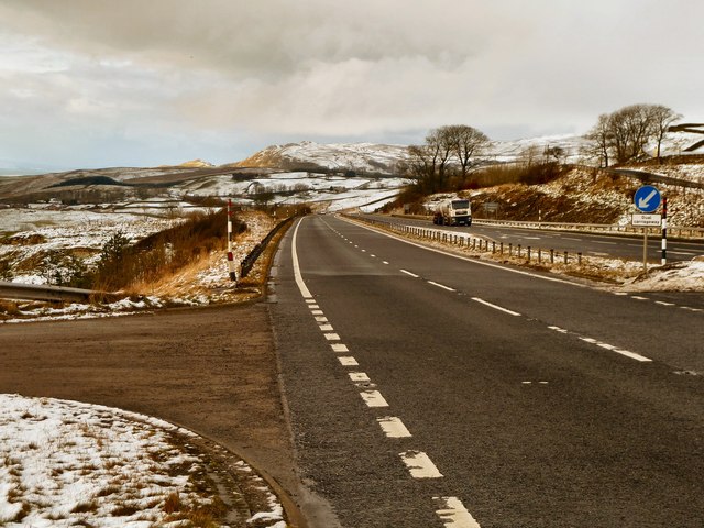
Great Moss Images
Images are sourced within 2km of 54.529775/-2.2188145 or Grid Reference NY8514. Thanks to Geograph Open Source API. All images are credited.


Great Moss is located at Grid Ref: NY8514 (Lat: 54.529775, Lng: -2.2188145)
Administrative County: Cumbria
District: Eden
Police Authority: Cumbria
What 3 Words
///encoded.glider.unopposed. Near Kirkby Stephen, Cumbria
Nearby Locations
Related Wikis

Battle of Stainmore
The Battle of Stainmore was probably fought between the Earldom of Bernicia, led by Oswulf, and the forces of the last Norse king of Jórvík (York), Eric...
Snowdrift at Bleath Gill
Snowdrift at Bleath Gill is a 1955 British Transport Film documentary directed by Kenneth Fairbairn. The 10-minute-long film presents a first-hand account...

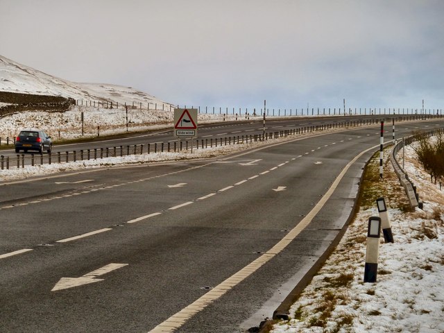
A66 road
The A66 is a major road in Northern England, which in part follows the course of the Roman road from Scotch Corner to Penrith. It runs from east of Middlesbrough...

Stainmore
Stainmore is a remote geographic area in the Pennines on the border of Cumbria, County Durham and North Yorkshire. The name is used for a civil parish...

Stainmore Summit
Stainmore Summit is the highest point on the trans-Pennine South Durham & Lancashire Union Railway, also known as the Stainmore Railway in Northern England...

Barras, Cumbria
Barras is a hamlet close to the River Belah, about 4 miles (6 kilometres) south-east of Brough, Cumbria, England. Until the creation of the new county...

Barras railway station
Barras railway station was situated on the South Durham & Lancashire Union Railway between Barnard Castle and Kirkby Stephen East. == History == The station...

Belah Viaduct
The Belah Viaduct was a railway viaduct on the South Durham and Lancashire Union Railway, crossing the River Belah, in Cumbria, England, about 1 mile...
Nearby Amenities
Located within 500m of 54.529775,-2.2188145Have you been to Great Moss?
Leave your review of Great Moss below (or comments, questions and feedback).