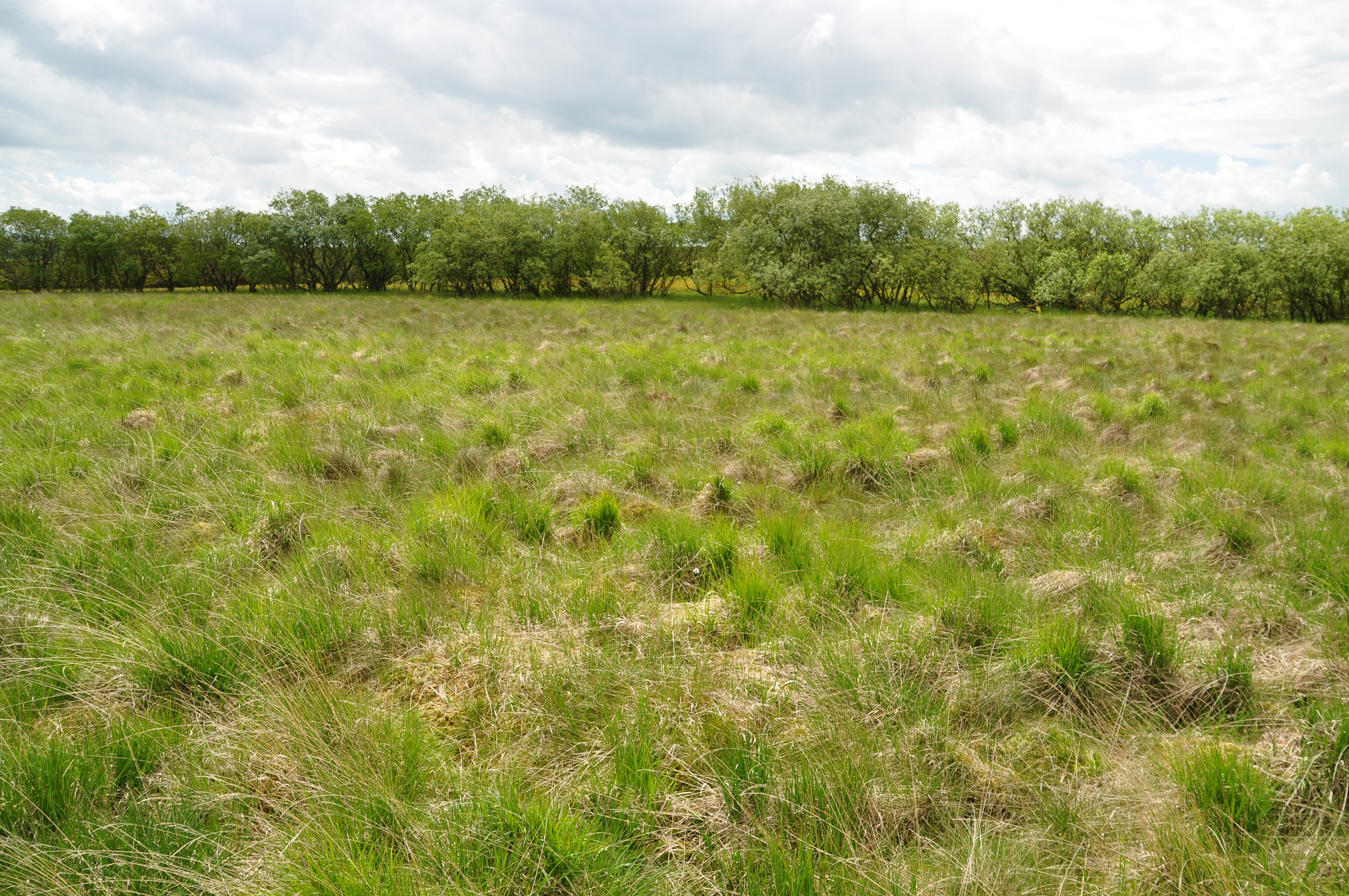
Dick Close Pasture

Downs, Moorland in Yorkshire Craven

England

Dick Close Pasture

Marshy area south of Fountains Fell The marsh is less wet than it normally would be, following a relatively dry spell of weather. Cotton grass seed heads are plentiful; the even more numerous yellow flowers are possibly spearworts. The broad ridge extends to the north where lie the higher areas of Fountains Fell.
Marshy area south of Fountains Fell Credit: Trevor Littlewood

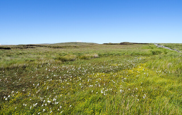
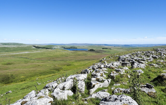
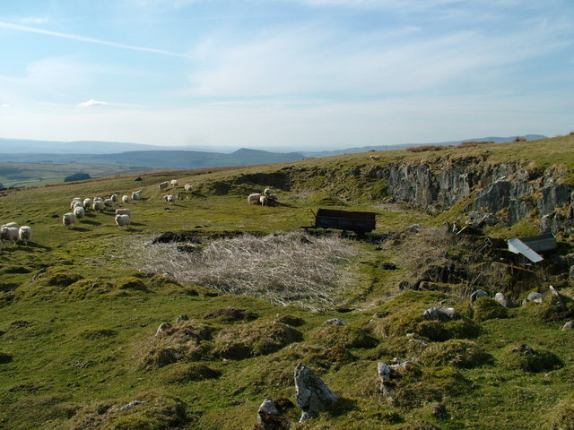
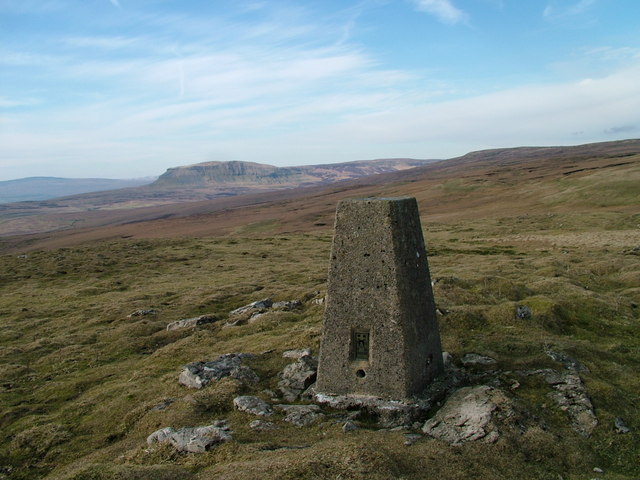
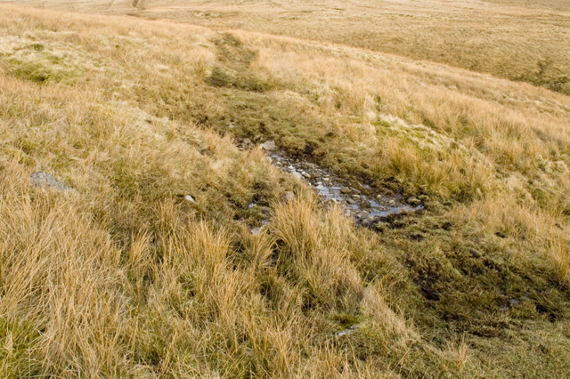
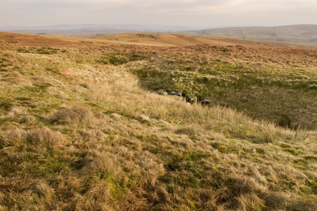
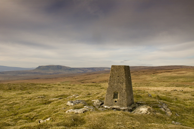
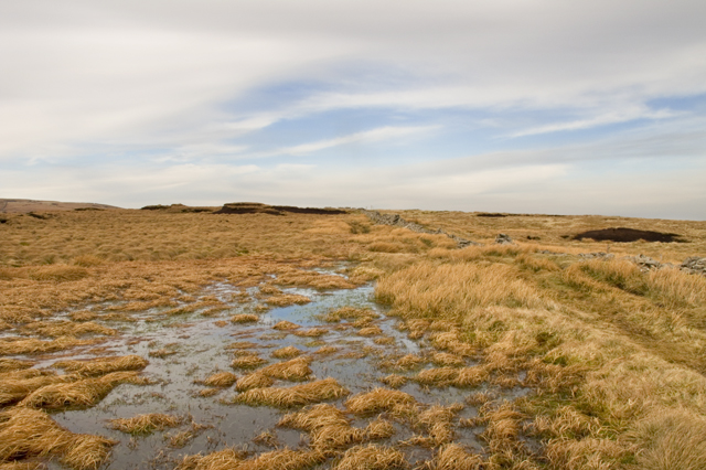
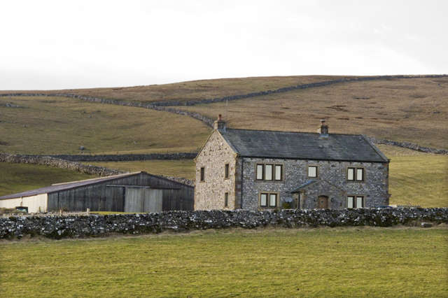
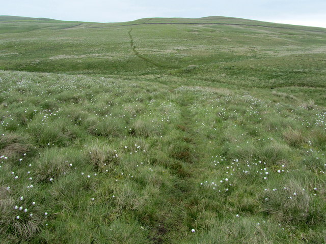
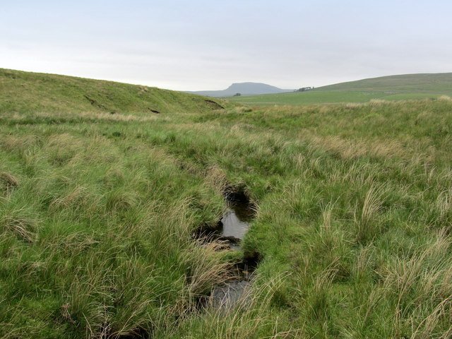
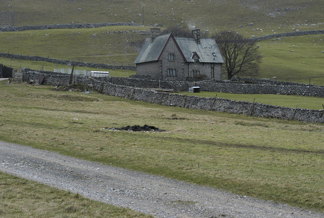
Dick Close Pasture is a picturesque and expansive grazing area located in the scenic region of Yorkshire, England. Nestled amidst the stunning Yorkshire Downs and Moorland, it offers breathtaking views of rolling hills, lush meadows, and vast open spaces. Spanning over a significant area, this pasture is a haven for various types of livestock, particularly sheep and cattle.

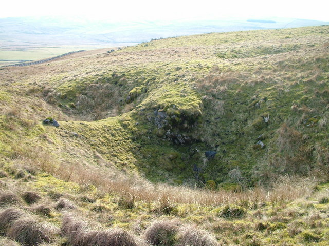
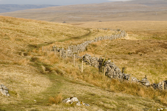
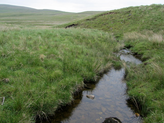
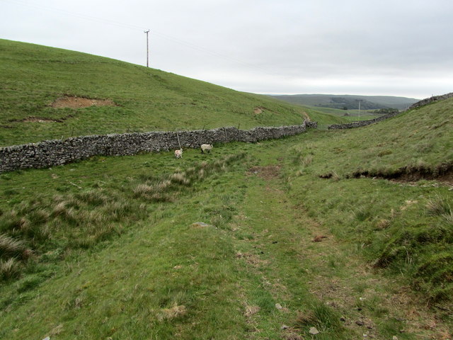
The landscape of Dick Close Pasture is characterized by its gently undulating terrain, which provides excellent grazing conditions for the animals. The rich and fertile soil supports a diverse range of vegetation, including grasses, wildflowers, and shrubs, resulting in a vibrant and colorful landscape during the warmer months. The area is also dotted with charming stone walls and hedgerows, adding to its rustic charm.

The pasture is well-maintained and managed, ensuring the animals have access to ample food and water sources. Farmers in the region employ traditional and sustainable farming practices, prioritizing the welfare of the livestock and the preservation of the natural environment.

Dick Close Pasture is not only a haven for livestock but also a popular destination for nature enthusiasts and hikers. Its vast expanse provides ample opportunities for leisurely walks, picnics, and wildlife spotting. Visitors can often spot various bird species, including skylarks and curlews, as well as occasional sightings of rabbits and hares.

Overall, Dick Close Pasture is a true gem in the Yorkshire countryside, offering a serene and idyllic setting for both farming and recreational activities. Its natural beauty and tranquil atmosphere make it a must-visit destination for those seeking a peaceful retreat in the heart of nature.

If you have any feedback on the listing, please let us know in the comments section below.

Dick Close Pasture Images

Images are sourced within 2km of 54.1058/-2.2164513 or Grid Reference SD8567. Thanks to Geograph Open Source API. All images are credited.

Marshy area south of Fountains Fell The marsh is less wet than it normally would be, following a relatively dry spell of weather. Cotton grass seed heads are plentiful; the even more numerous yellow flowers are possibly spearworts. The broad ridge extends to the north where lie the higher areas of Fountains Fell.
Marshy area south of Fountains Fell
The marsh is less wet than it normally would be, following a relatively dry spell of weather. Cotton grass seed heads are plentiful; the even more numerous yellow flowers are possibly spearworts. The broad ridge extends to the north where lie the higher areas of Fountains Fell.
Minor summit with trig point at Knowe Fell The ground rises slightly to the trig point which is at the southern end of the ridge of Fountains Fell, part of which is visible in the distance.
Pen-y-ghent is also in the image.
Minor summit with trig point at Knowe Fell
The ground rises slightly to the trig point which is at the southern end of the ridge of Fountains Fell, part of which is visible in the distance. Pen-y-ghent is also in the image.
Limestone pavement at edge of steepening ground The area of pavement reaches the edge of the slope with the rock exposure extending on to it but in a fragmented way and not as a crag - easily passed through and of no real height.
Malham Tarn can be seen distantly.
Limestone pavement at edge of steepening ground
The area of pavement reaches the edge of the slope with the rock exposure extending on to it but in a fragmented way and not as a crag - easily passed through and of no real height. Malham Tarn can be seen distantly.
Grassy slope of Knowe Fell The limestone pavement is at the north end of a larger area south-east of the trig point of Knowe Fell. The central area of grass descends from there too.
The distant upland at the right side of the image is Great Whernside.
Grassy slope of Knowe Fell
The limestone pavement is at the north end of a larger area south-east of the trig point of Knowe Fell. The central area of grass descends from there too. The distant upland at the right side of the image is Great Whernside.
Old Quarry
Old Quarry
Pot holes Plenty of pot holes here but several filled with old tyres or rusting metalwork.
Pot holes
Plenty of pot holes here but several filled with old tyres or rusting metalwork.
Trig pillar on Knowe Fell
Bridleway across Malham Moor
Row of Shake Holes Similar holes are marked on the OS map as Pot Holes and Sink Holes
Row of Shake Holes
Similar holes are marked on the OS map as Pot Holes and Sink Holes
Trig Point on Un-named top on Fountains Fell Have played safe with the title here as on the OS 1:25,000 map Knowe Fell, Stangill Fell, Out Fell and Middle Fell all seem to be areas of the southern end of Fountains Fell
Trig Point on Un-named top on Fountains Fell
Have played safe with the title here as on the OS 1:25,000 map Knowe Fell, Stangill Fell, Out Fell and Middle Fell all seem to be areas of the southern end of Fountains Fell
Small Tarn on Fountains Fell Close to the ridge wall along Fountains Fell this shallow pool was teeming with frogs, nearer as I approached they all hid
Small Tarn on Fountains Fell
Close to the ridge wall along Fountains Fell this shallow pool was teeming with frogs, nearer as I approached they all hid
Kirk House
Kirk House
Bridleway towards Tennant Gill
Tributary of Cowside Beck Watercourse just north of the Pennine Bridleway between Langscar and Langcliffe
Tributary of Cowside Beck
Watercourse just north of the Pennine Bridleway between Langscar and Langcliffe
Footpath on the Flanks of Daw Haw Following the footpath from Gorbeck Road to Capon Hall over a stretch of moorland particularly rich in cotton grass
Footpath on the Flanks of Daw Haw
Following the footpath from Gorbeck Road to Capon Hall over a stretch of moorland particularly rich in cotton grass
Stream below Daw Haw Watercourse below Daw Haw leading towards Cowside Beck, offering a view towards Pen y Ghent
Stream below Daw Haw
Watercourse below Daw Haw leading towards Cowside Beck, offering a view towards Pen y Ghent
Track below Black Hill Rounding Black Hill, the track heads for Henside Road and Capon Hall
Track below Black Hill
Rounding Black Hill, the track heads for Henside Road and Capon Hall
Capon Hall Farming operation off Henside Road, near Malham
Capon Hall
Farming operation off Henside Road, near Malham
Show me another place!

Dick Close Pasture is located at Grid Ref: SD8567 (Lat: 54.1058, Lng: -2.2164513)

Division: West Riding

Administrative County: North Yorkshire

District: Craven

Police Authority: North Yorkshire

What 3 Words

///decks.shuffles.perch. Near Settle, North Yorkshire

Nearby Locations

Dick Close Pasture

Related Wikis

Malham Moor

Malham Moor is a civil parish in the Craven district of North Yorkshire, England. Its population was estimated at 70 in 2015.It has a joint parish council...
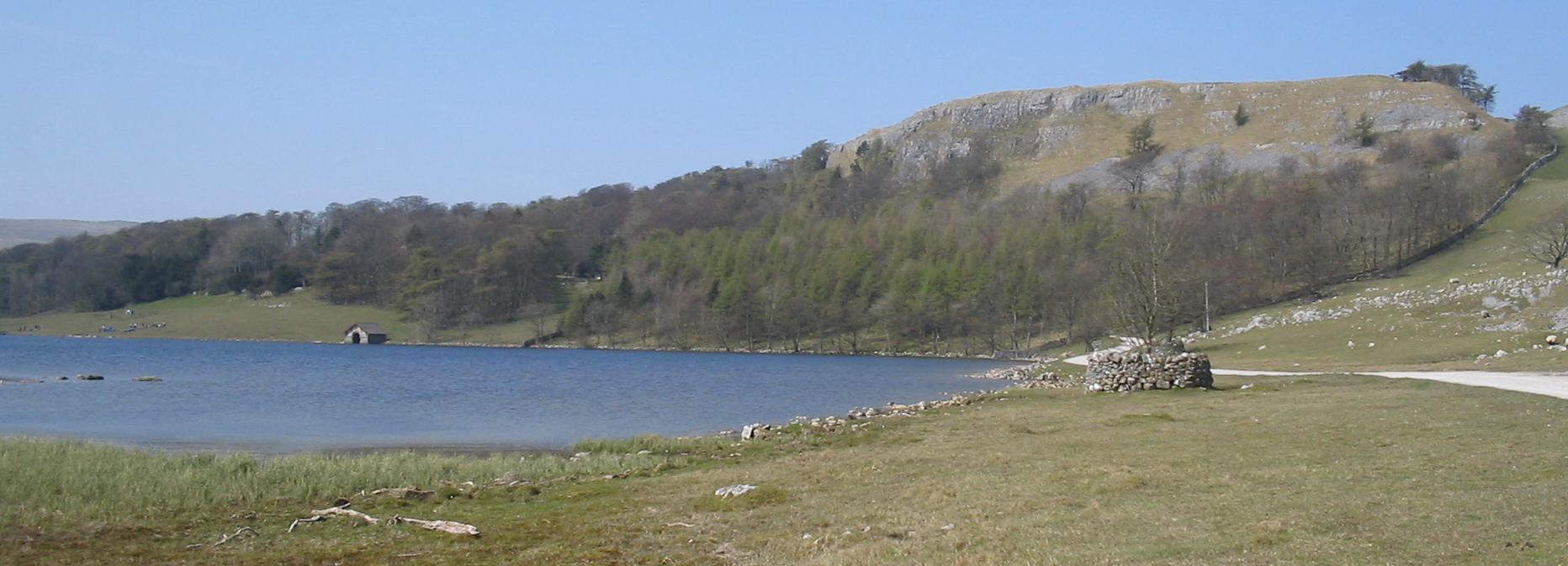
Malham Tarn

Malham Tarn is a glacial lake near the village of Malham in the Yorkshire Dales, England. The lake is one of only eight upland alkaline lakes in Europe...

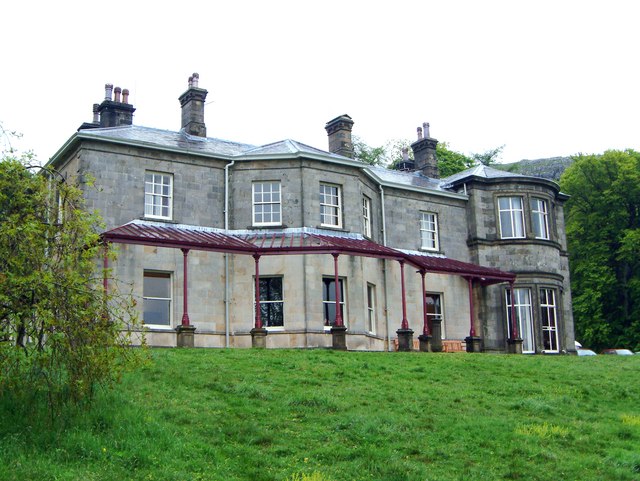
Malham Tarn Field Studies Centre

FSC Malham Tarn, situated near Malham Tarn in the Yorkshire Dales National Park, North Yorkshire, England, occupies a large Georgian country house, leased...

Malham Tarn Estate

Malham Tarn Estate is a National Trust property in North Yorkshire, England. The estate is located in the Pennines and lies between Wharfedale and Ribblesdale...

Nearby Amenities

Located within 500m of 54.1058,-2.2164513
Dick Close Pots
Natural: cave_entrance
Note: exact location uncertain
Source: OS_OpenData_StreetView
Lat/Long: 54.1086024/-2.2129286
Dick Close Pasture
Natural: fell
Source: OS_OpenData_StreetView
Lat/Long: 54.1070928/-2.2168553
Natural: cave_entrance
Note: exact location uncertain
Source: OS_OpenData_StreetView
Lat/Long: 54.1055203/-2.2089589
The data included in this document is from www.openstreetmap.org. The data is made available under ODbL.

Have you been to Dick Close Pasture?

Leave your review of Dick Close Pasture below (or comments, questions and feedback).