St. John (Without)
Civil Parish in Sussex Lewes
England
St. John (Without)
St. John (Without) is a civil parish located in the county of Sussex, England. It encompasses a rural area with a rich history and is situated near the South Downs National Park. The parish is bordered by several other parishes, including St. John (With) and St. Mary (Without).
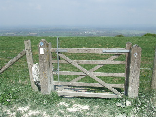
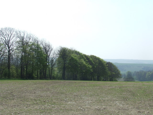
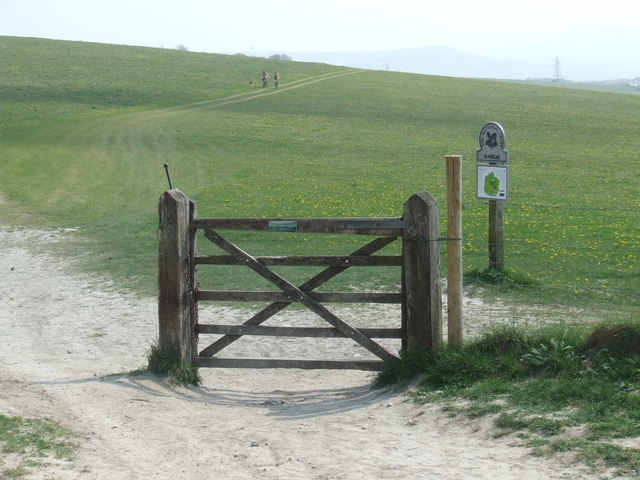
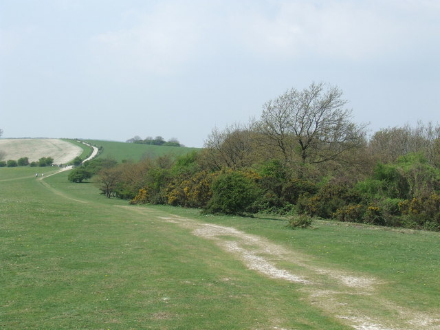
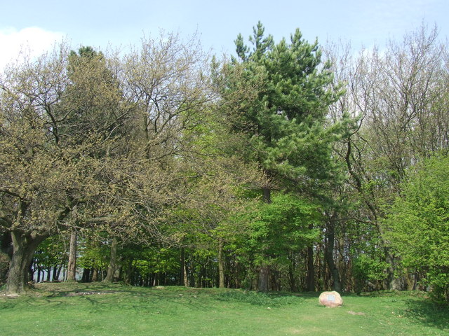
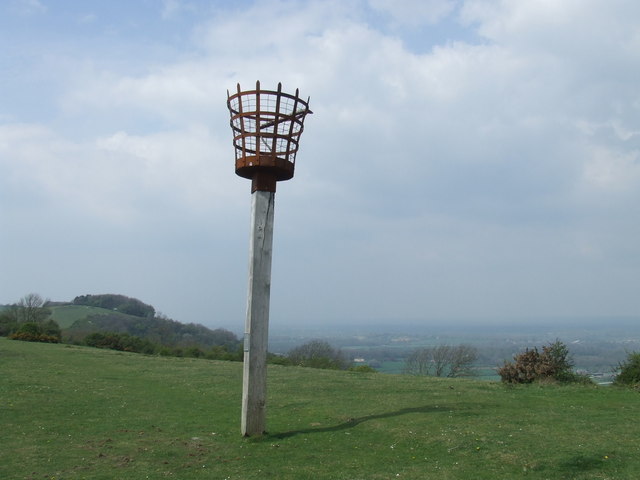
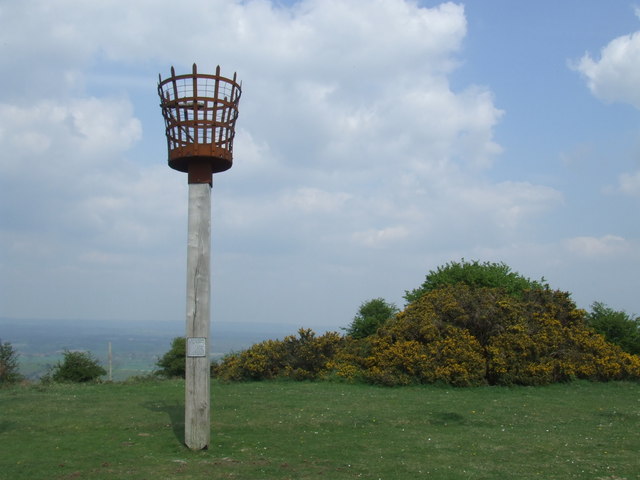
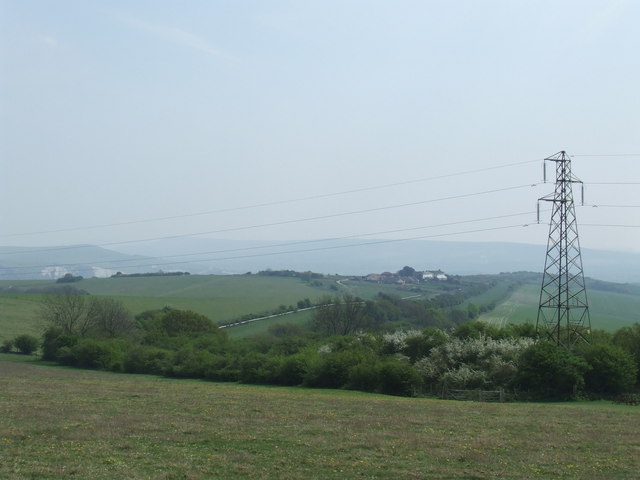
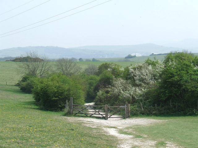
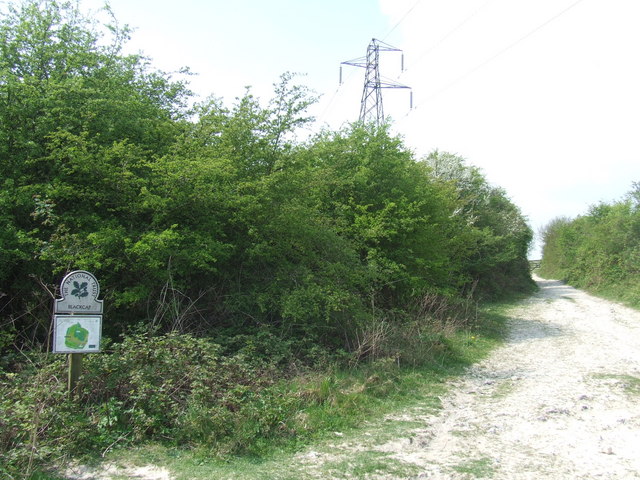
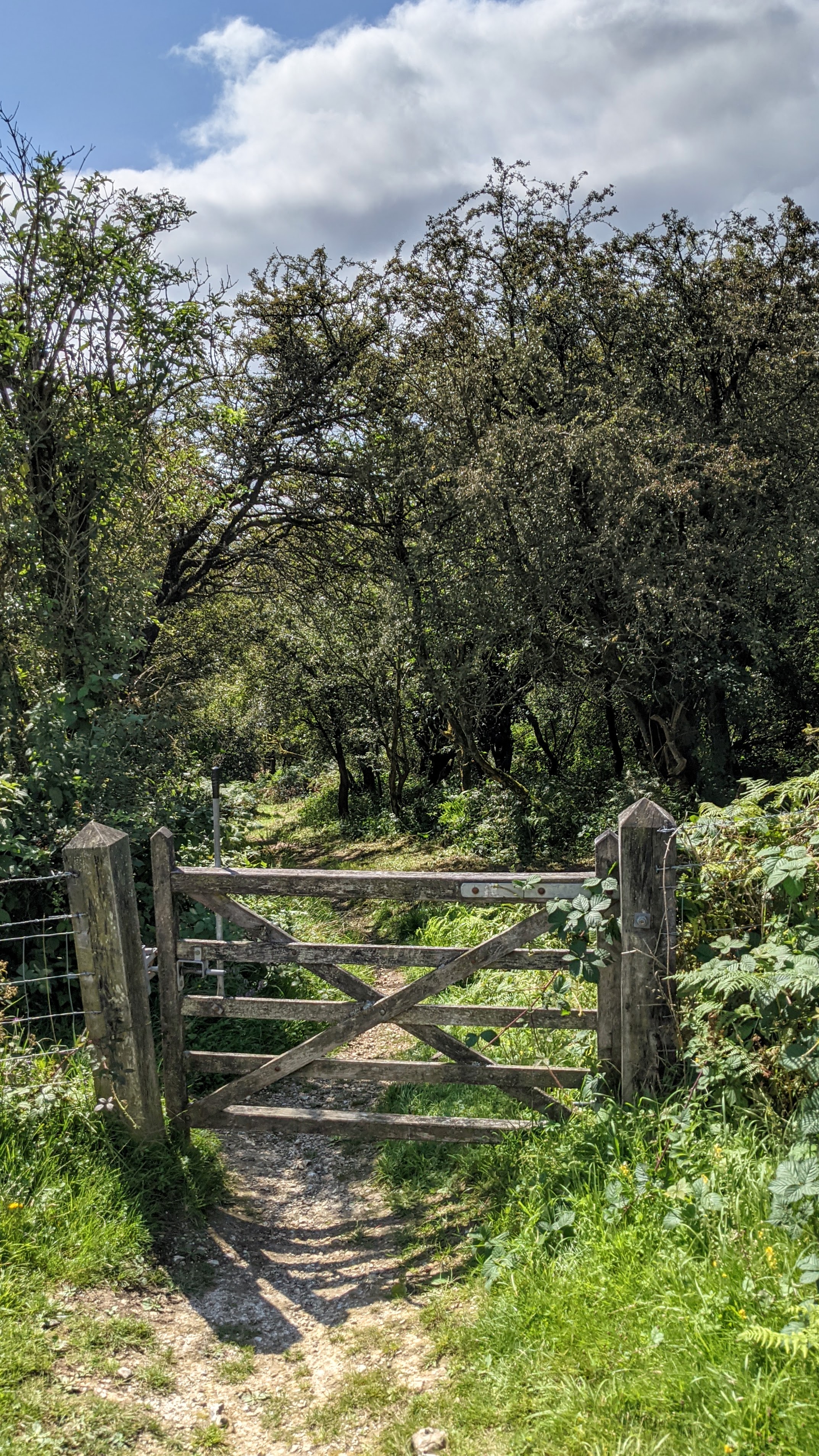
St. John (Without) is known for its picturesque landscapes, with rolling hills, meadows, and woodlands. The area is predominantly agricultural, with farming being a significant part of the local economy. The fertile land supports crops such as wheat, barley, and rapeseed, as well as livestock farming.
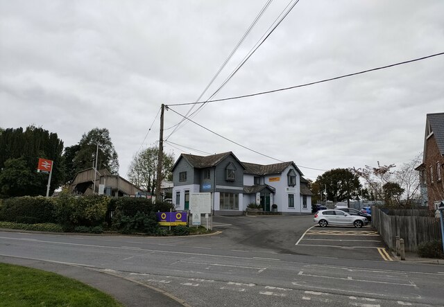
The parish is home to a small population, with scattered settlements and farms throughout the area. The main village within St. John (Without) is a close-knit community where residents enjoy a peaceful and rural lifestyle. The village features a charming church, St. John's Church, which dates back to the medieval period and serves as a focal point for the community.
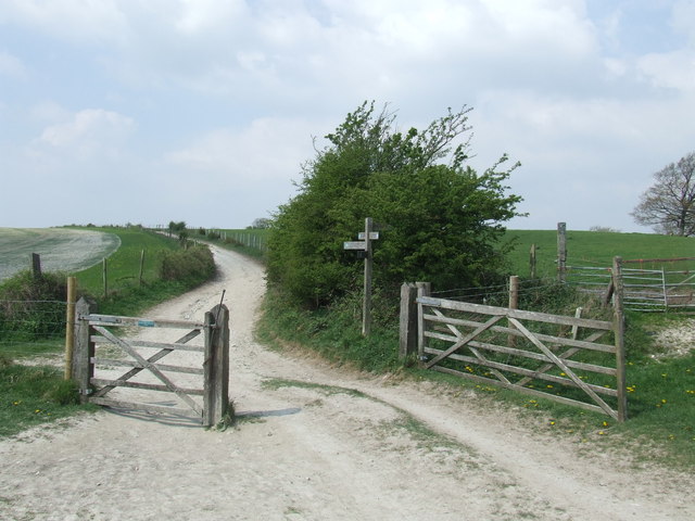
Nature enthusiasts and outdoor lovers are drawn to St. John (Without) for its natural beauty and abundance of walking and hiking trails. The South Downs Way, a long-distance footpath, runs through the parish, offering stunning views of the surrounding countryside.
Overall, St. John (Without) is a tranquil and idyllic civil parish in Sussex, known for its agricultural heritage, stunning landscapes, and close community ties.
If you have any feedback on the listing, please let us know in the comments section below.
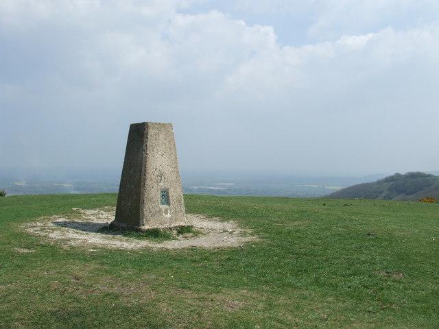
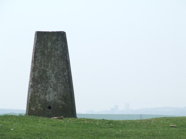
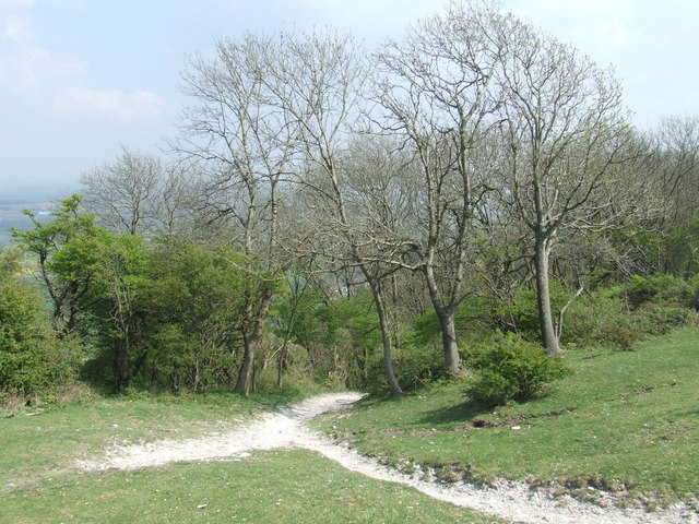
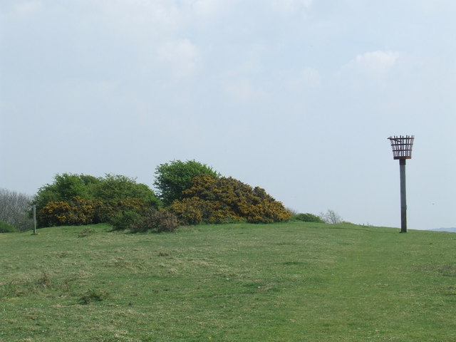
St. John (Without) Images
Images are sourced within 2km of 50.899514/-0.036171 or Grid Reference TQ3812. Thanks to Geograph Open Source API. All images are credited.

St. John (Without) is located at Grid Ref: TQ3812 (Lat: 50.899514, Lng: -0.036171)
Administrative County: East Sussex
District: Lewes
Police Authority: Sussex
What 3 Words
///bystander.honestly.formed. Near Lewes, East Sussex
Nearby Locations
Related Wikis

St John Without
St John Without is a small civil parish in the Lewes District of East Sussex, England, covering an area to the north-west of the town of Lewes. Much...
Ashcombe Bottom
Ashcombe Bottom (TQ 373 119) is a 66 hectares (160 acres) woodland valley owned by the National Trust that runs south from Blackcap, East Sussex, England...

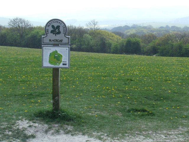
Blackcap, East Sussex
Blackcap is a hill and nature reserve in East Sussex, England. It is on a peak of the South Downs, just south east of Plumpton and west of Lewes. The flatter...

Lewes Speed Trials
The Lewes Speed Trials were speed trials held on a defunct course in Lewes, Sussex, England, sometimes known as "The Motor Road." == History == The first...
The Laines
The Laines is an 18th-century country house in Plumpton, East Sussex, near Lewes in England. It was the childhood home of Queen Camilla. The centre part...
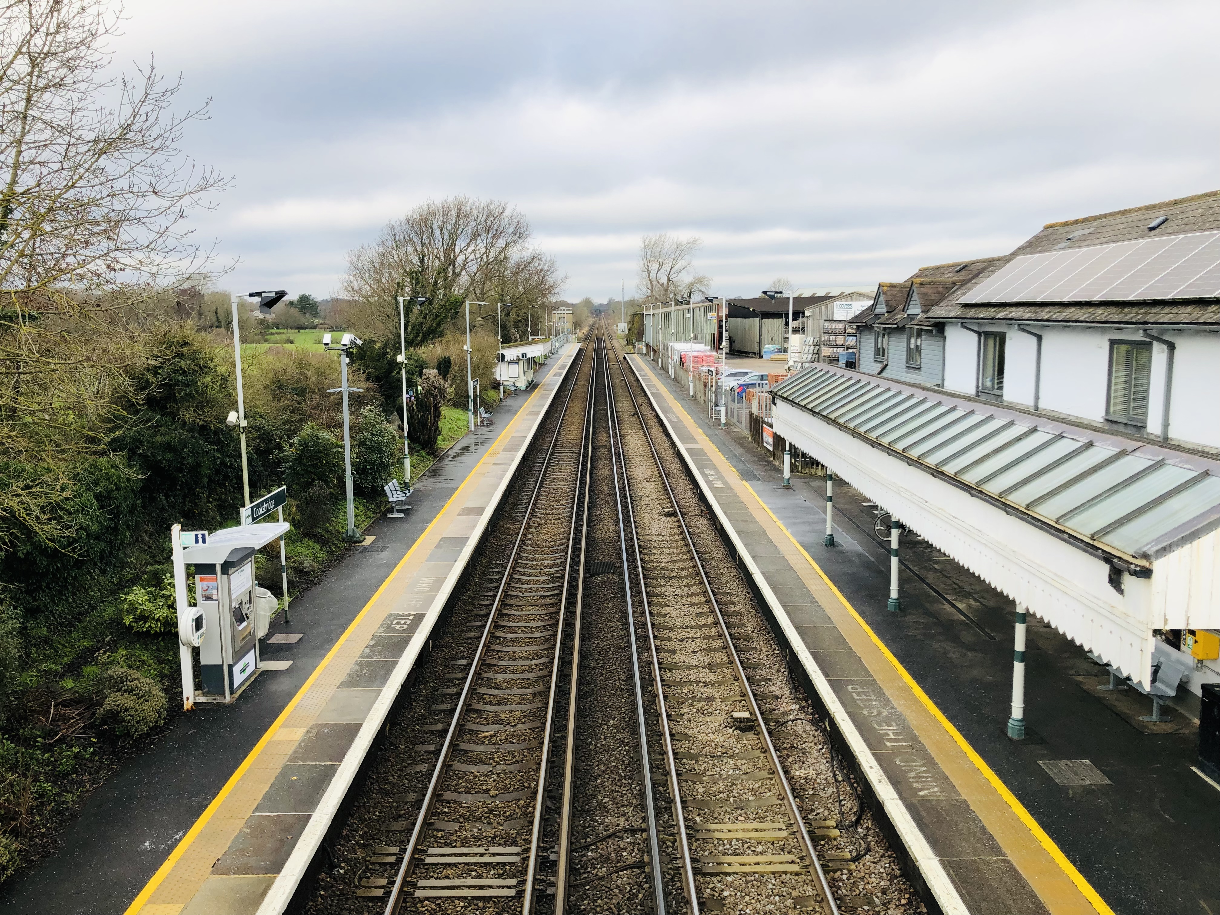
Cooksbridge railway station
Cooksbridge railway station serves the village of Cooksbridge in East Sussex, England. It is on the East Coastway Line, 47 miles 31 chains (76.3 km) from...
Offham Hill
Offham Hill is a causewayed enclosure near Lewes, East Sussex, England. Causewayed enclosures were built in England from shortly before 3700 BC until...
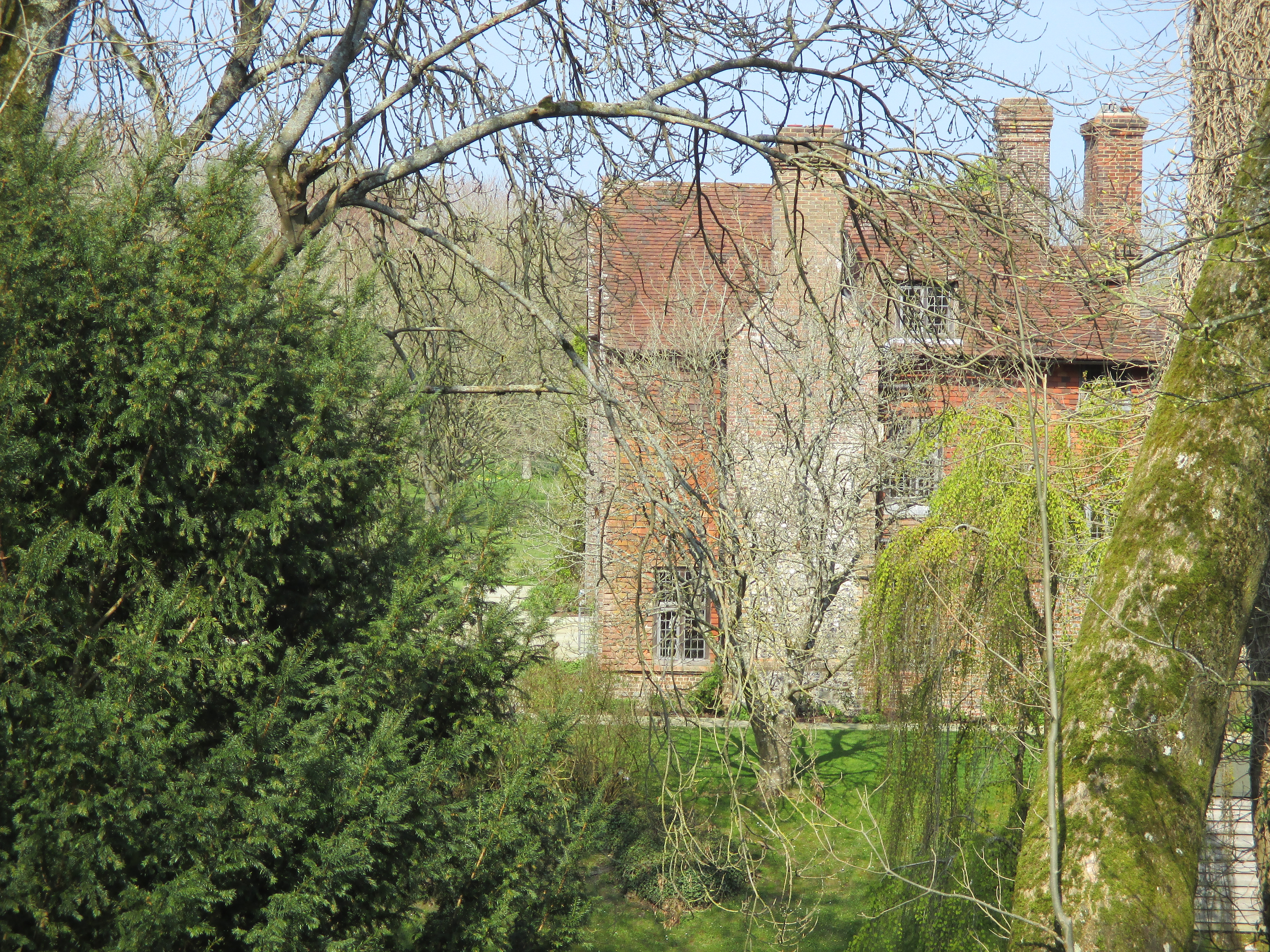
Plumpton Place
Plumpton Place is a Grade II* listed Elizabethan manor house in Plumpton, East Sussex, England. It was described by the architectural historian Nikolaus...
Related Videos
"Plumpton Wonders: A Short Story! 🌟"#london #uk #travel
"Thank you for taking the time to watch my video! If you enjoyed it, please consider subscribing, liking, and sharing it with your ...
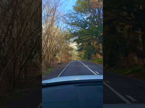
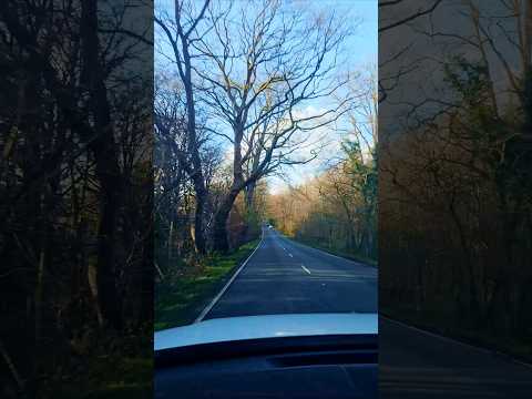
Exploring the scenic routes of the UK 🚗✨#london #travel #uk
"Thank you for taking the time to watch my video! If you enjoyed it, please consider subscribing, liking, and sharing it with your ...

McBean’s February look around the nursery
Jim takes us around the nursery and explains what we do at McBean's; breeding, trends and how we look after the collection.
Summer in uk
Who want to go please contact FB: springboard4Education Laos.
Nearby Amenities
Located within 500m of 50.899514,-0.036171Have you been to St. John (Without)?
Leave your review of St. John (Without) below (or comments, questions and feedback).