Mount Harry
Hill, Mountain in Sussex Lewes
England
Mount Harry
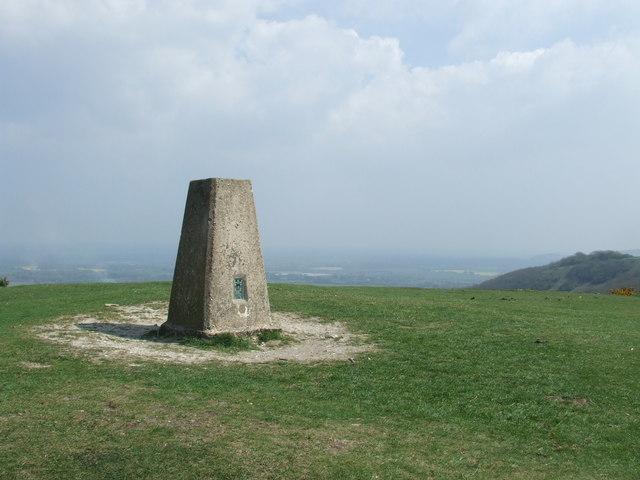
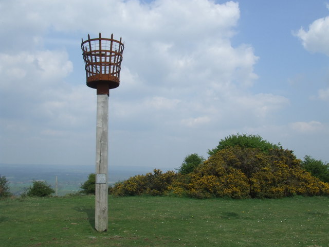
Mount Harry is a prominent hill located in the county of Sussex, England. Standing at an elevation of approximately 196 meters (643 feet), it offers picturesque views of the surrounding countryside and is a popular destination for nature enthusiasts and hikers.
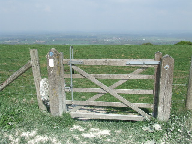
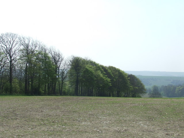
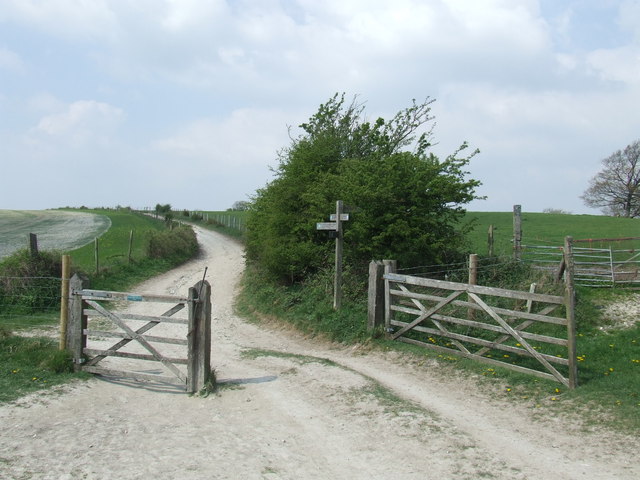
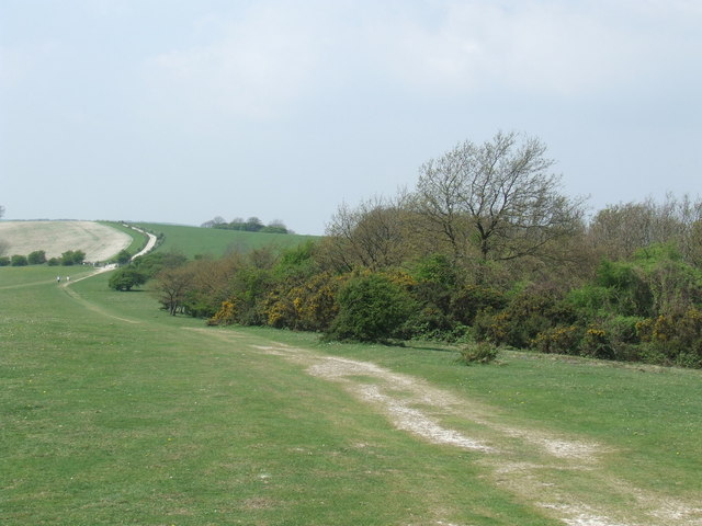
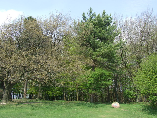
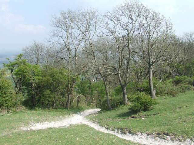
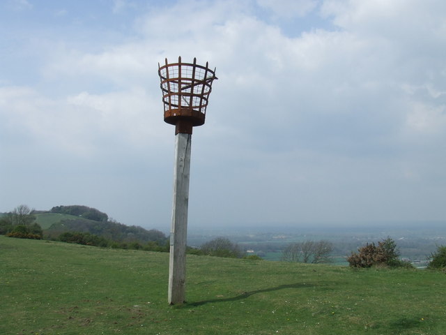
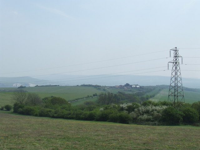
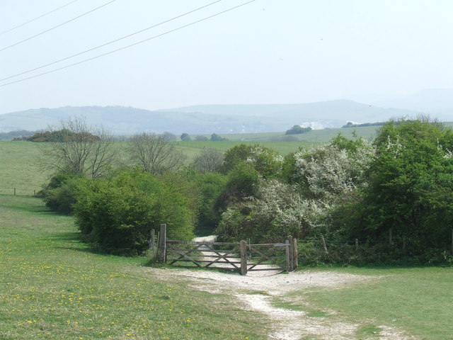
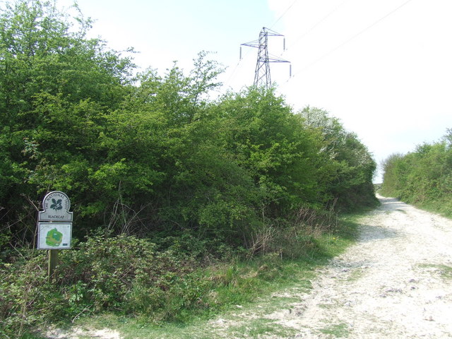
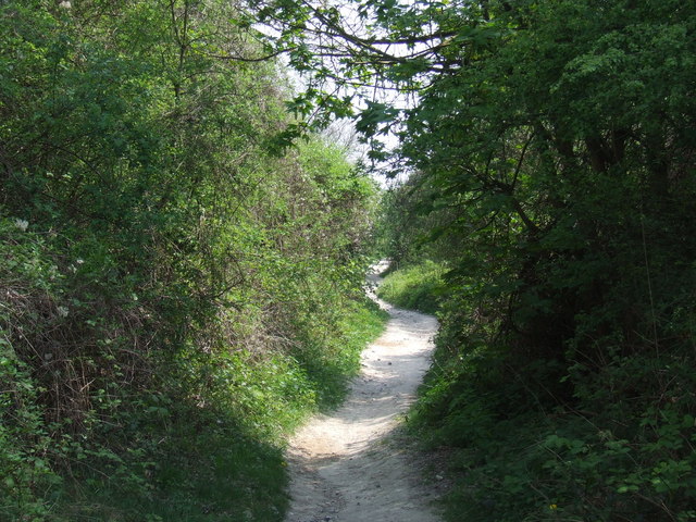
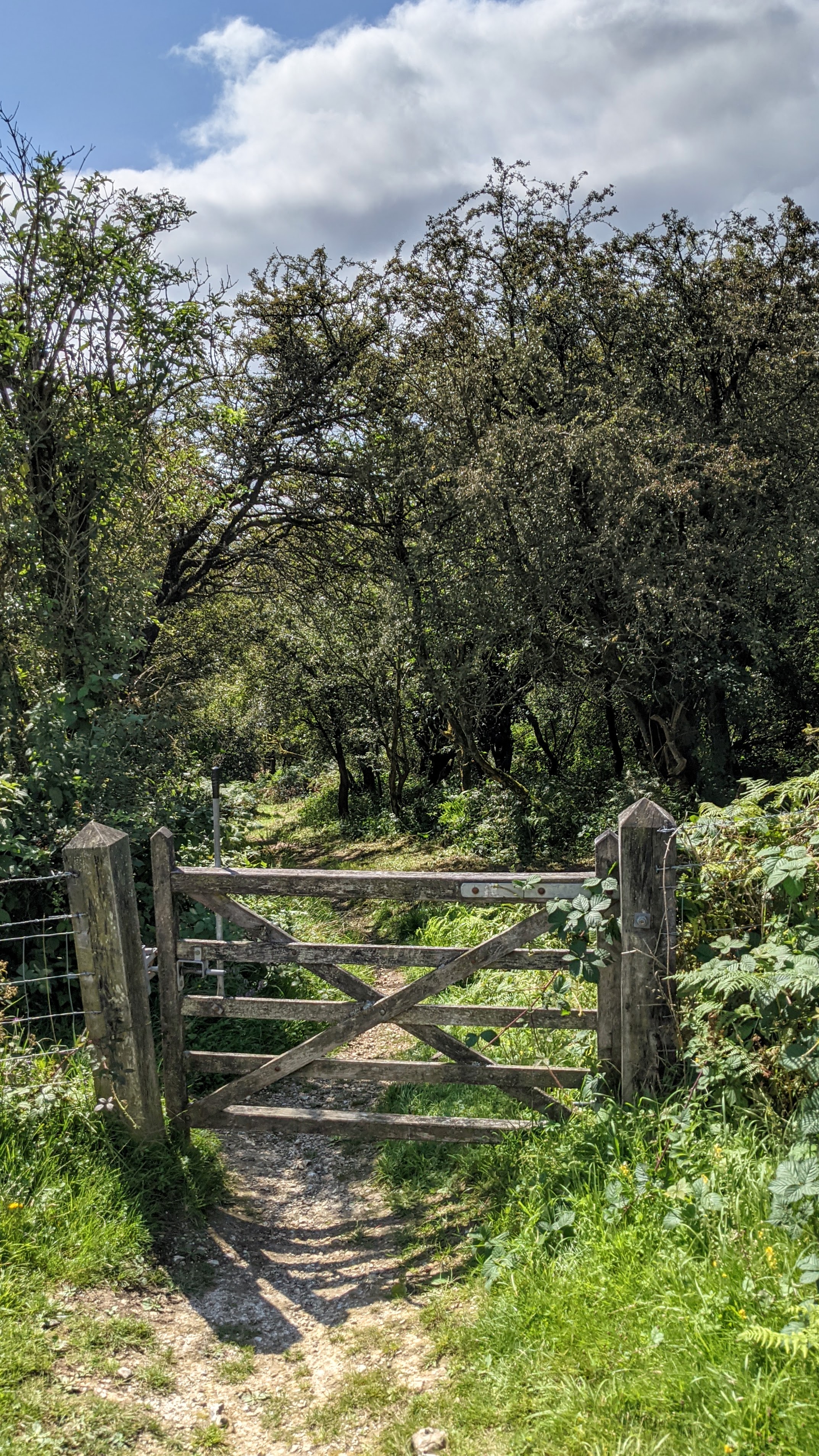
Situated near the village of Lewes, Mount Harry is part of the South Downs National Park, a designated Area of Outstanding Natural Beauty. The hill is characterized by its gently sloping sides and is covered in a mix of grassland, woodlands, and scrub. This diverse landscape supports a wide range of flora and fauna, including rare plants and various bird species.
One of the notable features of Mount Harry is the presence of an Iron Age hill fort on its summit. This ancient fortification dates back to around 500 BC and is believed to have been built as a defensive stronghold. The remains of the fort can still be seen today, with the circular earthwork providing a glimpse into the area's rich history.
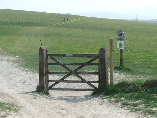
Mount Harry also offers several walking trails, allowing visitors to explore its natural beauty and heritage. These paths cater to different levels of difficulty, making it accessible for both casual walkers and more experienced hikers. Along the way, visitors may encounter wildlife such as deer and butterflies, adding to the charm of the area.
Overall, Mount Harry in Sussex is a captivating destination that combines stunning landscapes, historical significance, and recreational opportunities, making it a favorite spot for locals and tourists alike.
If you have any feedback on the listing, please let us know in the comments section below.
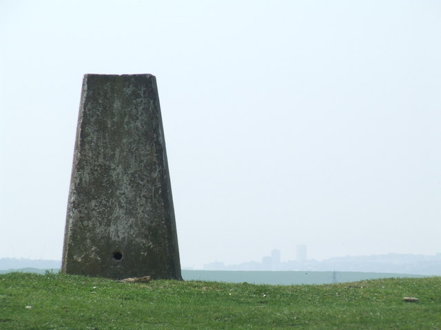
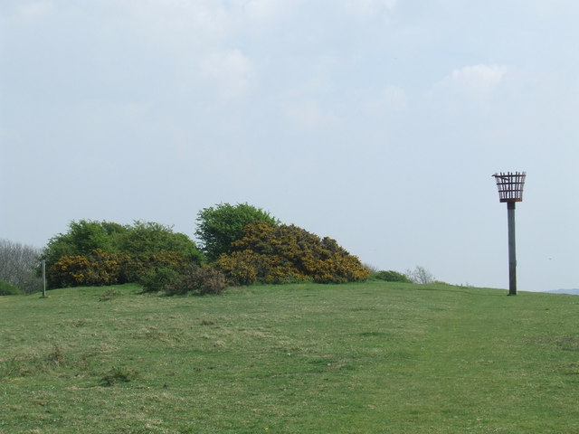
Mount Harry Images
Images are sourced within 2km of 50.89287/-0.035603777 or Grid Reference TQ3812. Thanks to Geograph Open Source API. All images are credited.

Mount Harry is located at Grid Ref: TQ3812 (Lat: 50.89287, Lng: -0.035603777)
Administrative County: East Sussex
District: Lewes
Police Authority: Sussex
What 3 Words
///responded.bespoke.lure. Near Lewes, East Sussex
Nearby Locations
Related Wikis

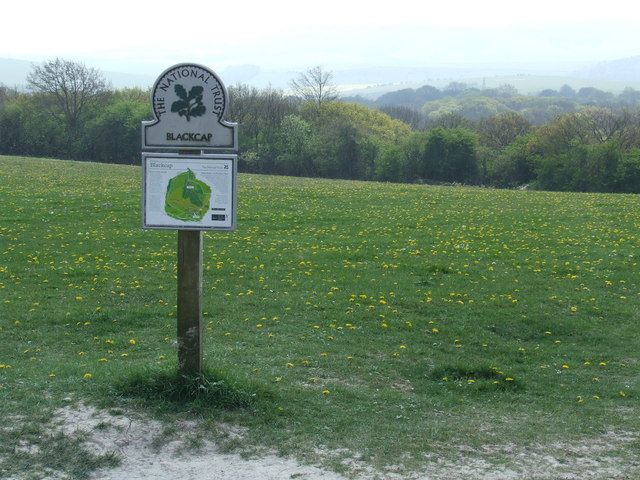
Blackcap, East Sussex
Blackcap is a hill and nature reserve in East Sussex, England. It is on a peak of the South Downs, just south east of Plumpton and west of Lewes. The flatter...
Ashcombe Bottom
Ashcombe Bottom (TQ 373 119) is a 66 hectares (160 acres) woodland valley owned by the National Trust that runs south from Blackcap, East Sussex, England...

Lewes Speed Trials
The Lewes Speed Trials were speed trials held on a defunct course in Lewes, Sussex, England, sometimes known as "The Motor Road." == History == The first...
Offham Hill
Offham Hill is a causewayed enclosure near Lewes, East Sussex, England. Causewayed enclosures were built in England from shortly before 3700 BC until...

St John Without
St John Without is a small civil parish in the Lewes District of East Sussex, England, covering an area to the north-west of the town of Lewes. Much...
The Laines
The Laines is an 18th-century country house in Plumpton, East Sussex, near Lewes in England. It was the childhood home of Queen Camilla. The centre part...

Battle of Lewes
The Battle of Lewes was one of two main battles of the conflict known as the Second Barons' War. It took place at Lewes in Sussex, on 14 May 1264. It marked...

Offham Marshes
Offham Marshes, also known as The Pells and Offham Marsh, is a 39.1-hectare (97-acre) biological Site of Special Scientific Interest on the northern outskirts...
Nearby Amenities
Located within 500m of 50.89287,-0.035603777Have you been to Mount Harry?
Leave your review of Mount Harry below (or comments, questions and feedback).