Stone Hill
Hill, Mountain in Sussex Mid Sussex
England
Stone Hill
Stone Hill is a prominent geographical feature located in the county of Sussex, England. Situated in the southern region of the county, it stands as an impressive hill/mountain offering breathtaking views of the surrounding landscape. Rising to an elevation of approximately 260 meters (850 feet), Stone Hill commands a dominant position in the region.
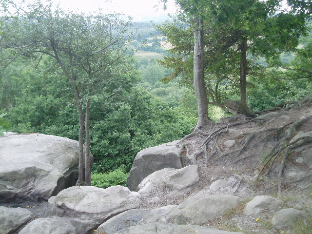
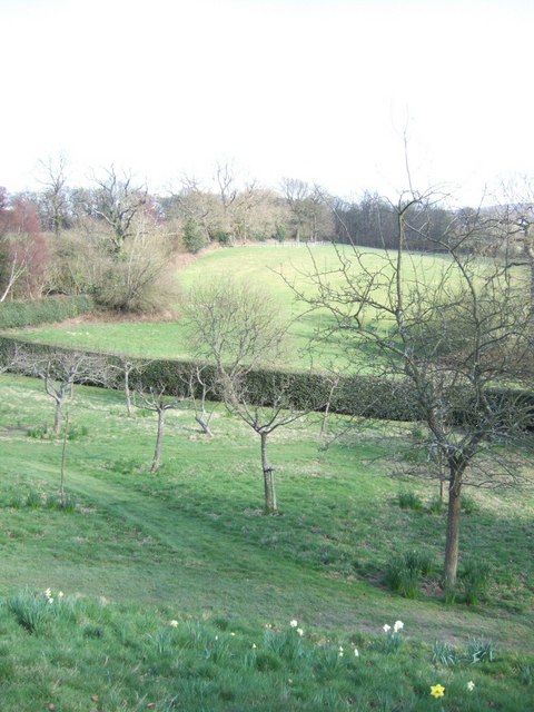
The hill is characterized by its rocky terrain, hence the name "Stone Hill." The slopes are covered in a patchwork of grasses, heather, and wildflowers, adding to its natural beauty. The hill is also home to a variety of wildlife, including birds of prey such as kestrels and buzzards, as well as smaller mammals like rabbits and foxes.
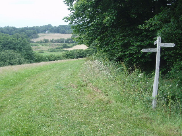
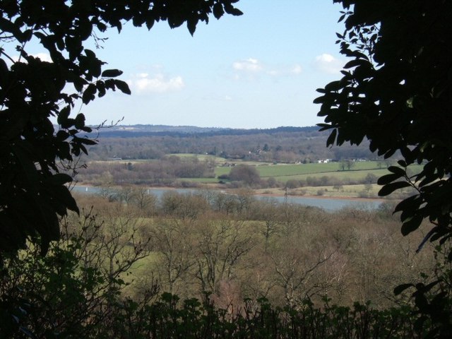
A well-maintained walking trail winds its way up Stone Hill, providing visitors with the opportunity to explore the area and enjoy the stunning panoramic views from the summit. On clear days, one can see for miles, with vistas stretching across the rolling hills, lush valleys, and picturesque villages of Sussex.
Stone Hill has become a popular destination for outdoor enthusiasts, offering opportunities for hiking, nature walks, and photography. The hill's unique geological formations, coupled with its scenic beauty, make it a favorite spot for landscape photographers and painters alike.
Overall, Stone Hill in Sussex is a captivating natural landmark, providing locals and tourists alike with a chance to immerse themselves in the beauty of the English countryside and appreciate the wonders of nature.
If you have any feedback on the listing, please let us know in the comments section below.
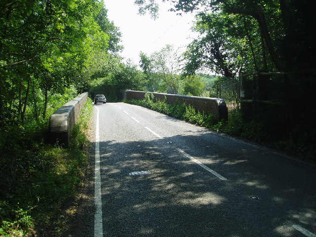
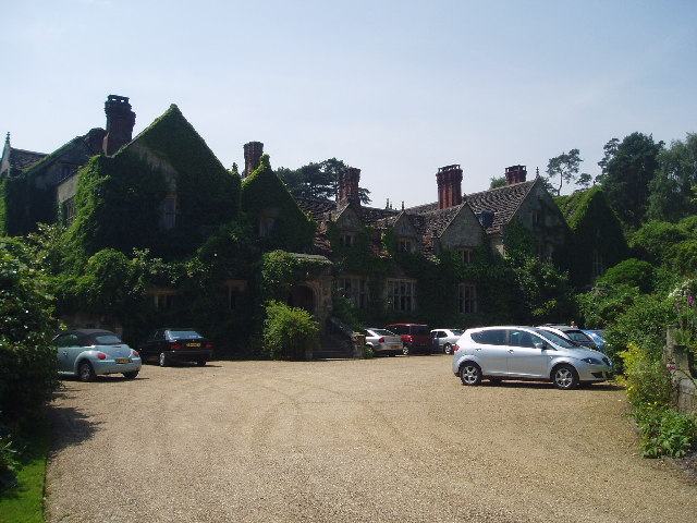
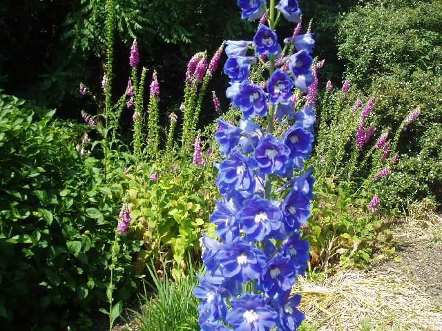
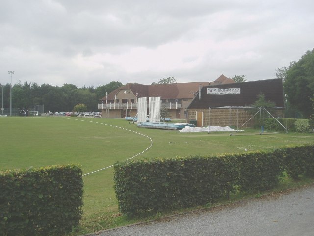
Stone Hill Images
Images are sourced within 2km of 51.097322/-0.026879525 or Grid Reference TQ3834. Thanks to Geograph Open Source API. All images are credited.
Stone Hill is located at Grid Ref: TQ3834 (Lat: 51.097322, Lng: -0.026879525)
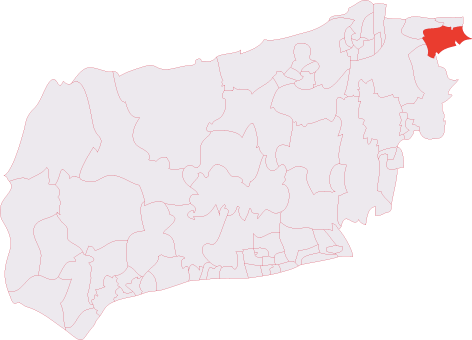
Administrative County: West Sussex
District: Mid Sussex
Police Authority: Sussex
What 3 Words
///sorters.food.margin. Near East Grinstead, West Sussex
Nearby Locations
Related Wikis

Stone Farm Rocks
Stone Farm Rocks or Stone Hill Rocks is a 0.6-hectare (1.5-acre) geological Site of Special Scientific Interest south of East Grinstead in West Sussex...

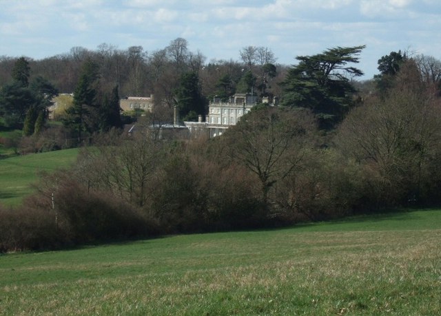
Saint Hill Green
Saint Hill Green is a small village near East Grinstead, West Sussex, England. It is notable for two country houses in the vicinity: Standen, designed...

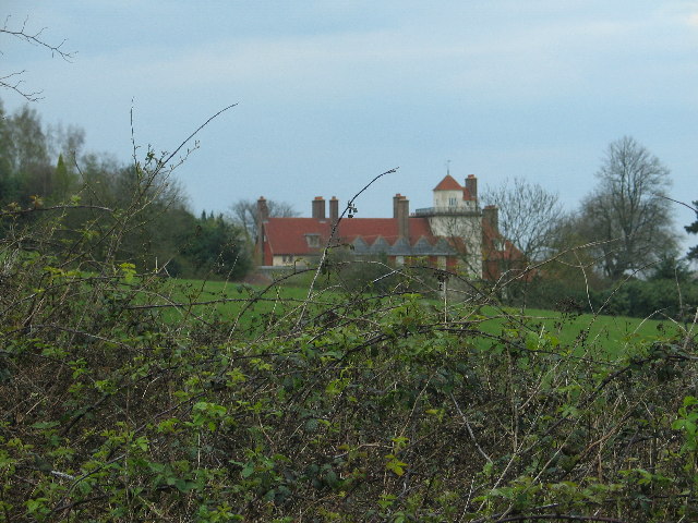
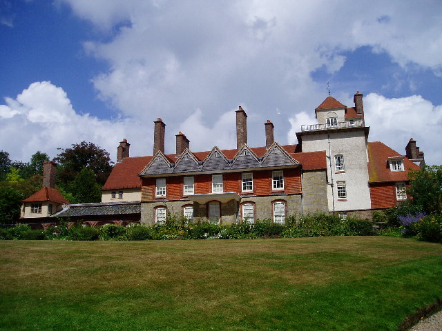
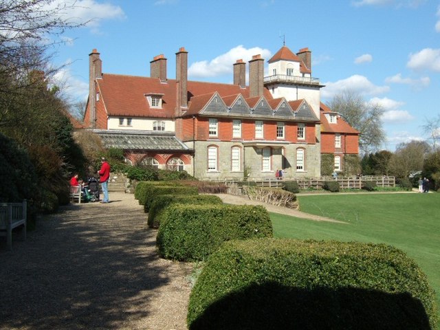
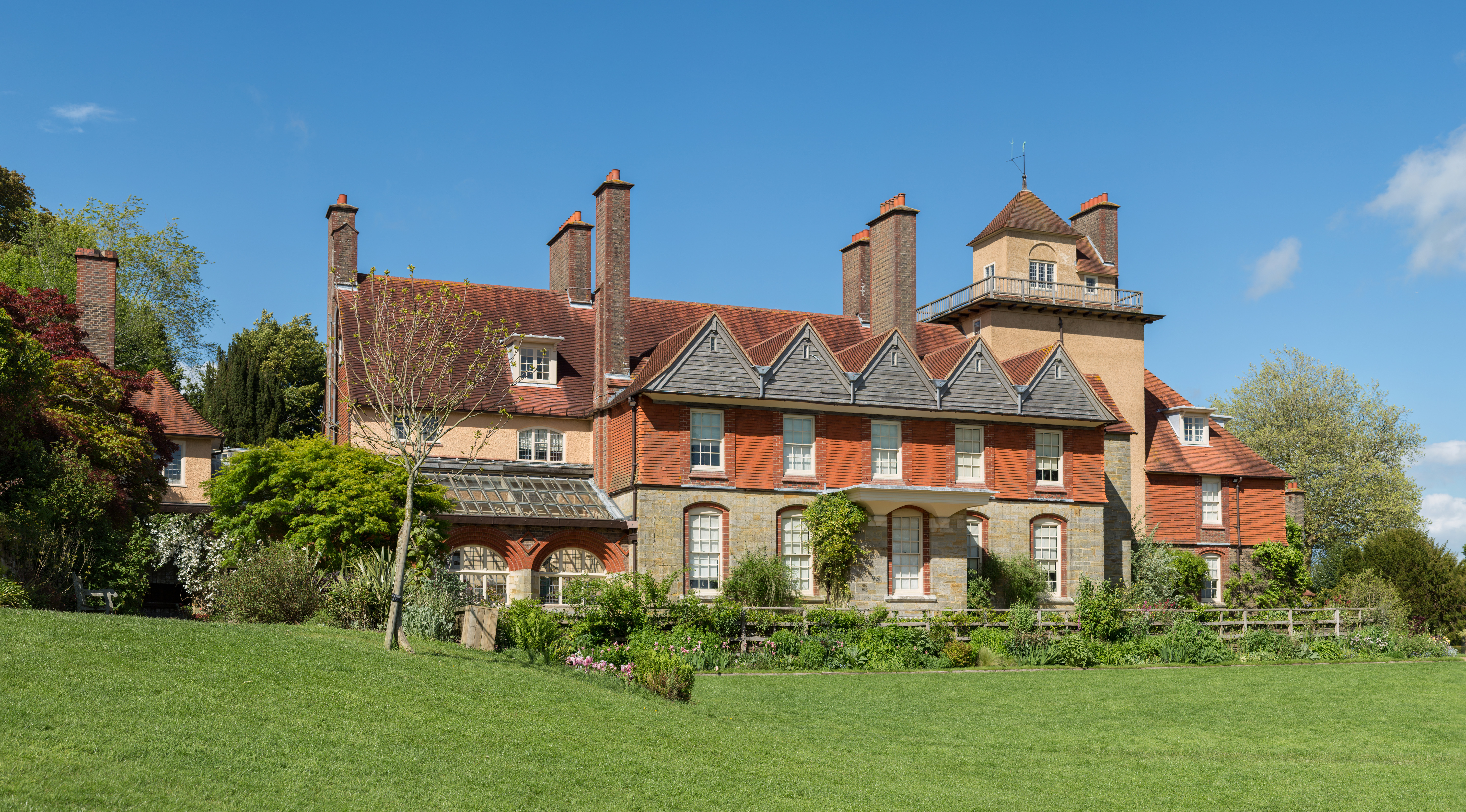
Saint Hill Manor
Saint Hill Manor is a Grade II listed country manor house at Saint Hill Green, near East Grinstead in West Sussex, England. It was constructed in 1792...
Standen
Standen is an Arts and Crafts house located to the south of East Grinstead, West Sussex, England. The house and its surrounding gardens belong to the National...

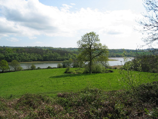
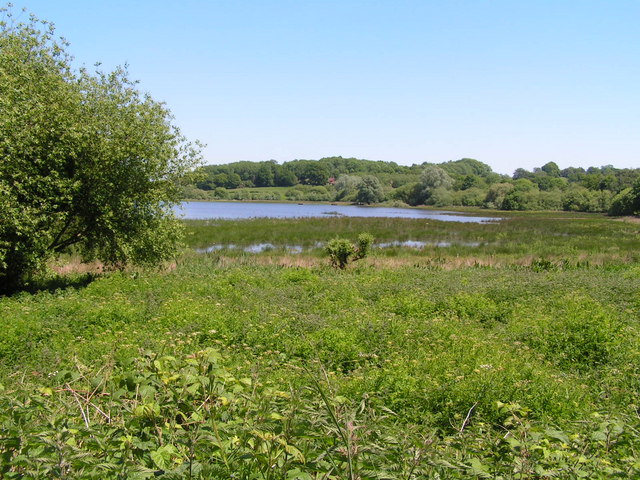
Weir Wood Reservoir
Weir Wood Reservoir is a 153.5-hectare (379-acre) biological Site of Special Scientific Interest west of Forest Row in East Sussex. It is in High Weald...

Lingfield Cernes
Lingfield Cernes is a 10.3-hectare (25-acre) biological Site of Special Scientific Interest east of Lingfield in Surrey. == Site details == This site has...

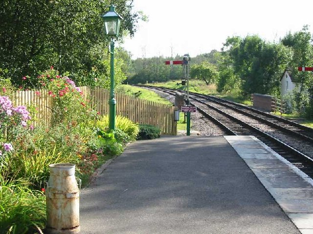
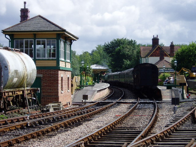
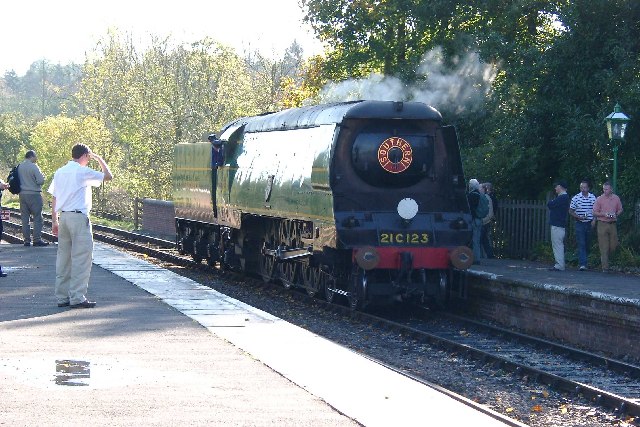
Kingscote railway station
Kingscote railway station is a preserved railway station on the heritage Bluebell Railway, located in West Sussex, England. == History == The station was...
East Grinstead South & Ashurst Wood (electoral division)
East Grinstead South & Ashurst Wood is an electoral division of West Sussex in the United Kingdom, and returns one member to sit on West Sussex County...
Nearby Amenities
Located within 500m of 51.097322,-0.026879525Have you been to Stone Hill?
Leave your review of Stone Hill below (or comments, questions and feedback).