St. John, Ilketshall
Civil Parish in Suffolk East Suffolk
England
St. John, Ilketshall
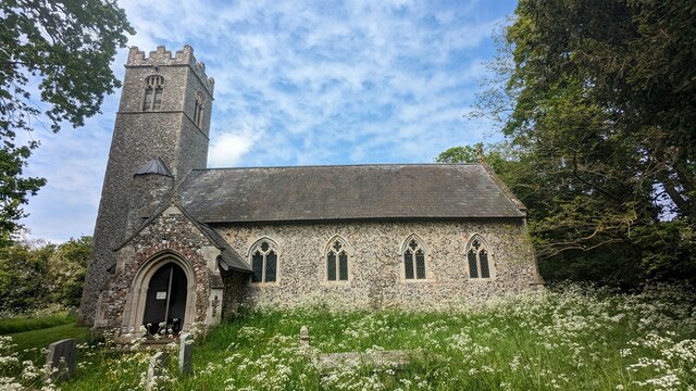
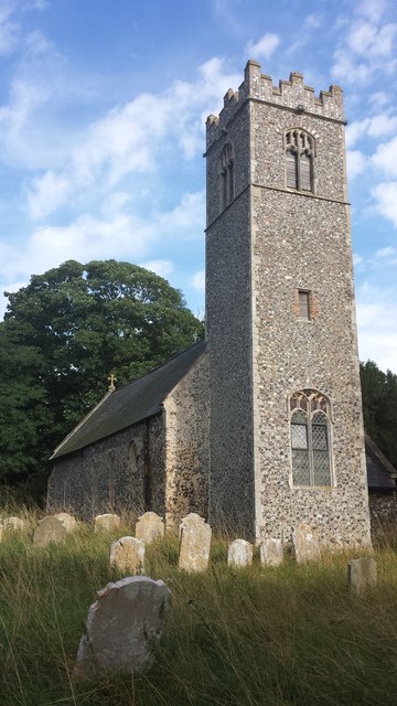
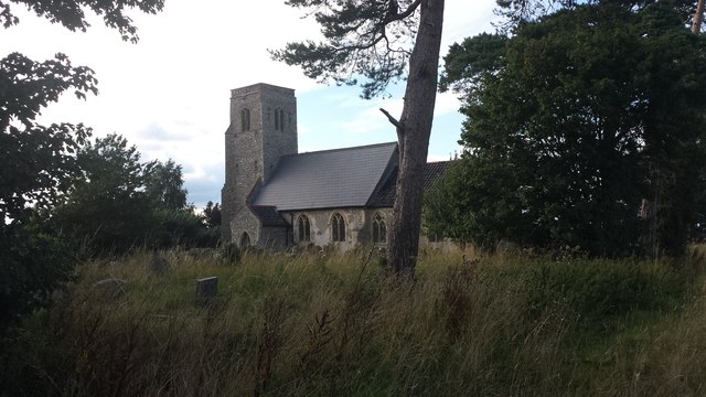
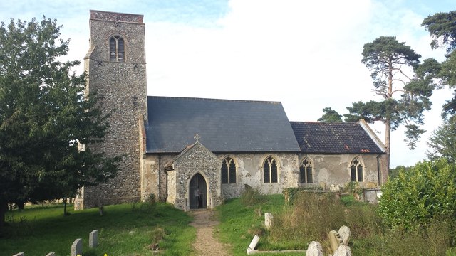
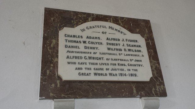
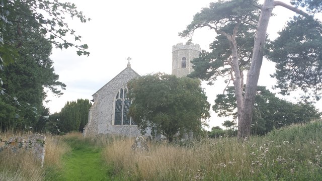
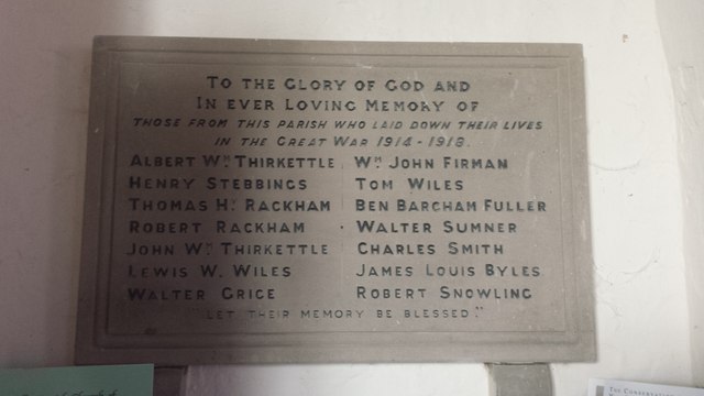
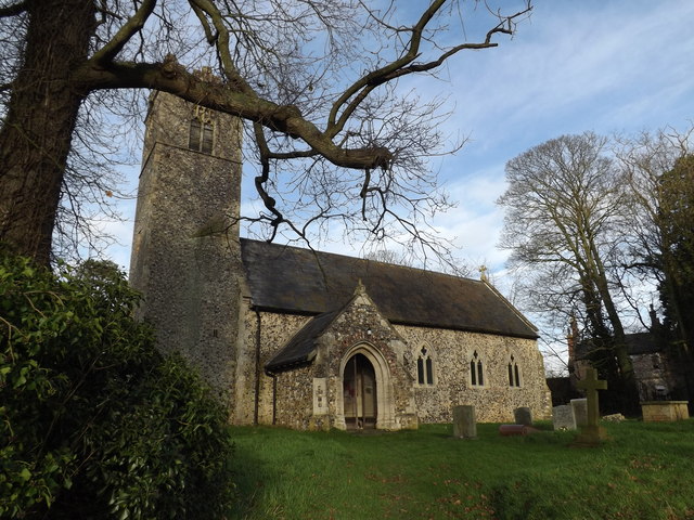
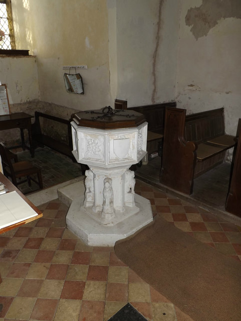
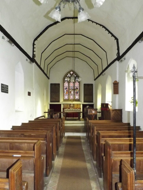
St. John, Ilketshall is a civil parish located in Suffolk, England. It is a small rural village surrounded by picturesque countryside, with a population of approximately 200 residents. The parish is known for its historic church, St. John the Baptist, which dates back to the medieval period and is a Grade I listed building.
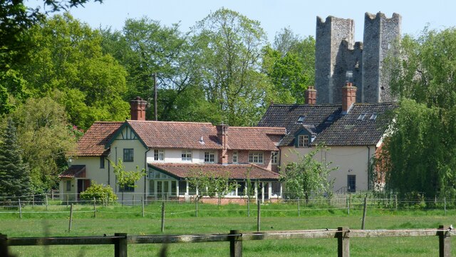
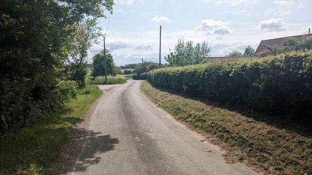
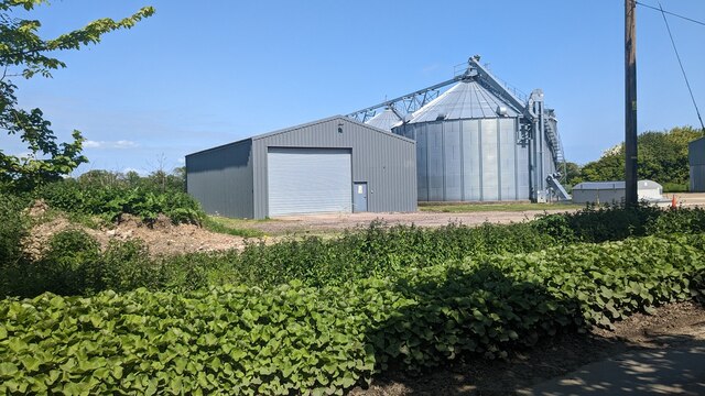
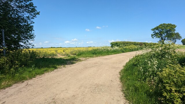
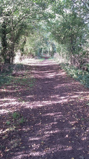
The village itself is made up of a mix of traditional cottages and modern houses, giving it a charming and quaint feel. There are also a number of farms and agricultural land surrounding the village, contributing to its rural character.
St. John, Ilketshall is a close-knit community with a strong sense of community spirit. The village has a village hall where residents gather for social events and activities, as well as a local pub where locals can unwind and socialize.
Overall, St. John, Ilketshall is a peaceful and idyllic village with a rich history and a strong sense of community, making it a desirable place to live for those seeking a quiet rural lifestyle.
If you have any feedback on the listing, please let us know in the comments section below.
St. John, Ilketshall Images
Images are sourced within 2km of 52.433848/1.475687 or Grid Reference TM3687. Thanks to Geograph Open Source API. All images are credited.

St. John, Ilketshall is located at Grid Ref: TM3687 (Lat: 52.433848, Lng: 1.475687)
Administrative County: Suffolk
District: East Suffolk
Police Authority: Suffolk
What 3 Words
///limelight.silence.swam. Near Bungay, Suffolk
Nearby Locations
Related Wikis

Ilketshall St John
Ilketshall St John is a village and civil parish in the East Suffolk district of the English county of Suffolk. It is 2 miles (3.2 km) south-east of the...
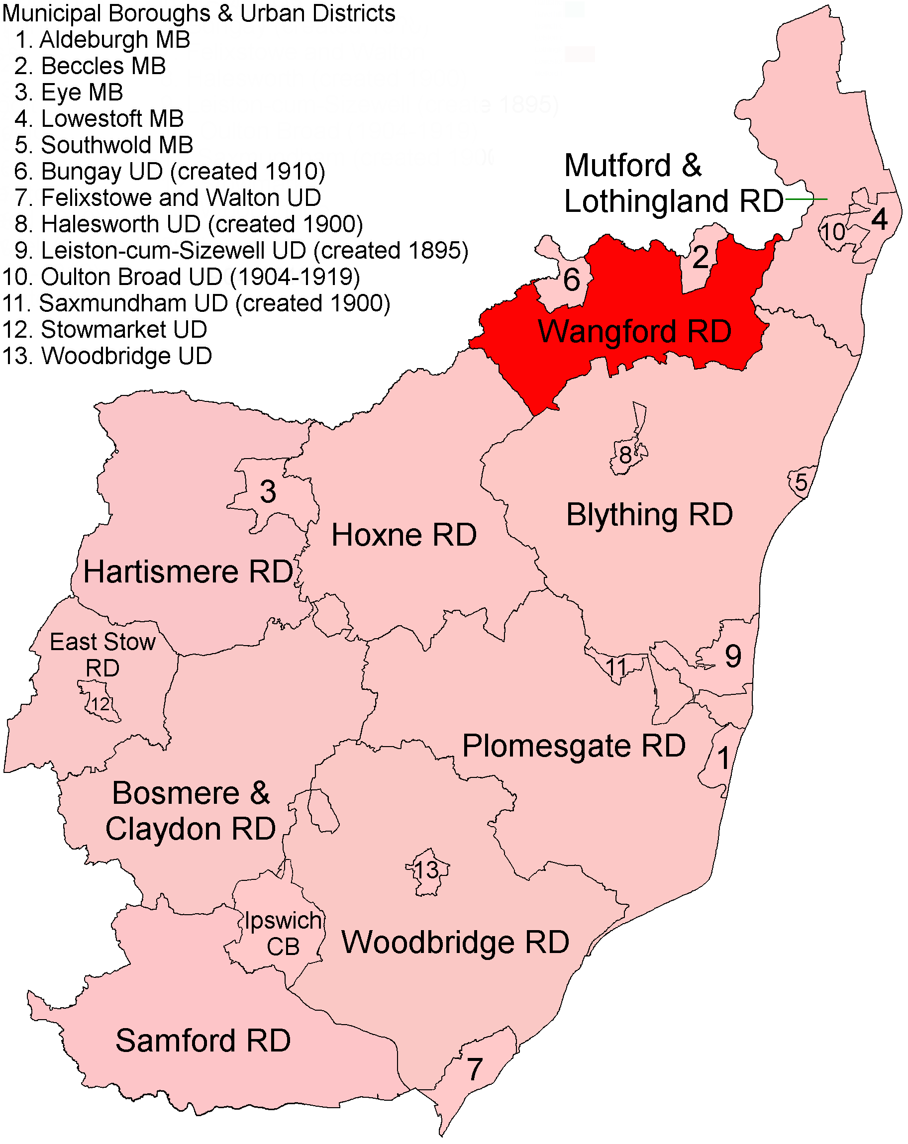
Wangford Rural District
Wangford Rural District was a rural district within the administrative county of East Suffolk between 1894 and 1934. It was created out of the earlier...

Wainford Rural District
Wainford Rural District was a rural district in East Suffolk, England, between 1934 and 1974. It was created by a merger of the disbanded Wangford Rural...
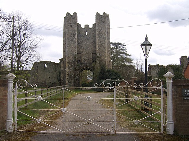
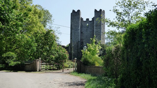
Mettingham College
Mettingham College was a monastic college in the parish of Mettingham in the English county of Suffolk. The college was located within Mettingham Castle...
Nearby Amenities
Located within 500m of 52.433848,1.475687Have you been to St. John, Ilketshall?
Leave your review of St. John, Ilketshall below (or comments, questions and feedback).