St. Juliot

Civil Parish in Cornwall

England

St. Juliot

St Juliot Church This isolated church was virtually derelict in 1870 when it was restored under the direction of the architect and writer Thomas Hardy.
St Juliot Church Credit: Tony Atkin

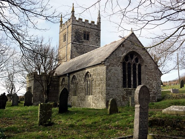
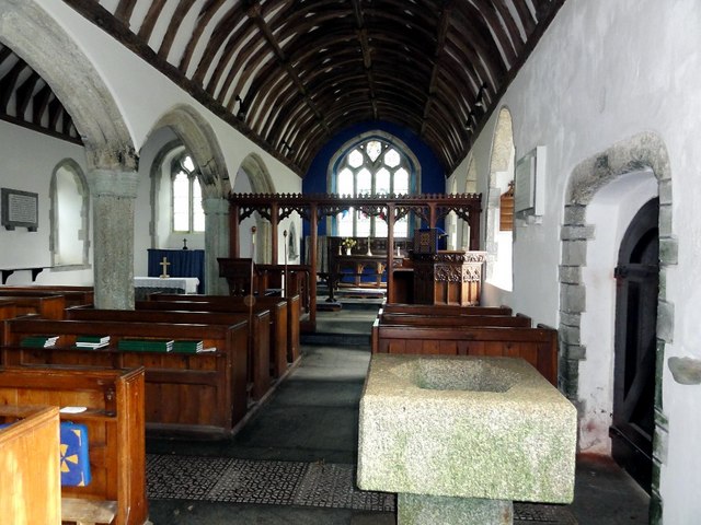
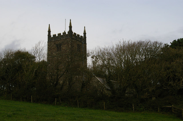
St. Juliot is a civil parish located in Cornwall, England. It is a small rural community situated near the coast, with stunning views of the surrounding countryside and coastline. The parish is named after the historic church of St. Juliot, which dates back to the 12th century and is a prominent feature in the area.

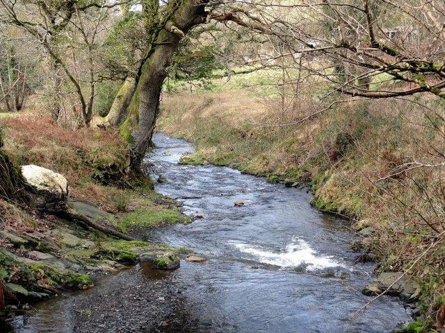
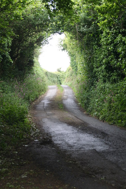
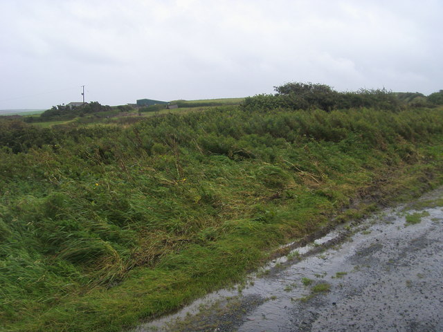
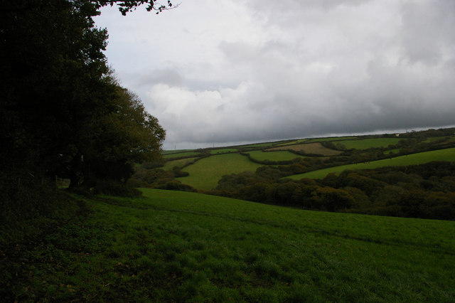
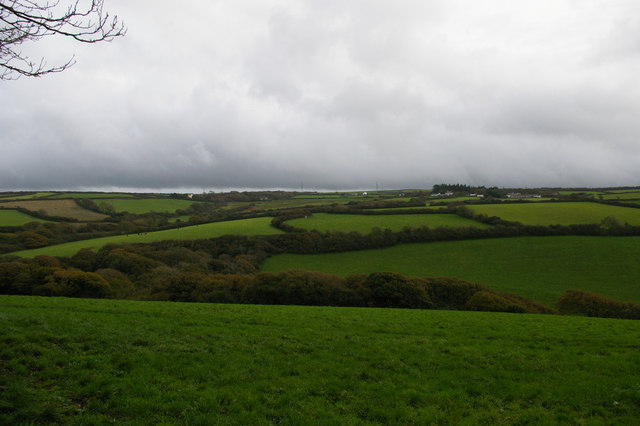
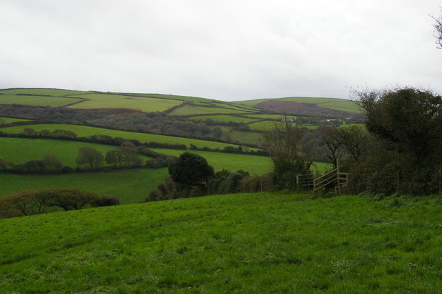
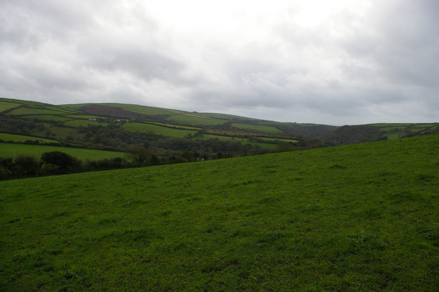
The parish is known for its picturesque landscapes, including rolling hills, lush fields, and rugged cliffs overlooking the sea. It is a popular destination for outdoor enthusiasts, with plenty of walking and hiking trails to explore.

St. Juliot is also famous for its connections to the renowned author Thomas Hardy, who visited the area in the 1870s and fell in love with the local vicarage. Hardy later used the vicarage as the setting for his novel "A Pair of Blue Eyes", which helped put St. Juliot on the map as a literary destination.

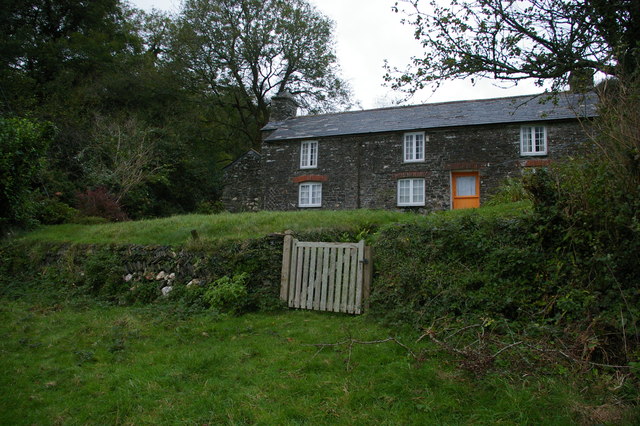
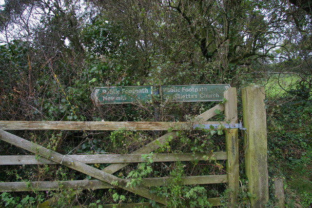
Today, St. Juliot remains a charming and peaceful community, with a mix of traditional stone cottages and modern homes. Visitors can enjoy the tranquility of the countryside, explore the historic church, and take in the breathtaking views of the Cornish coastline.

If you have any feedback on the listing, please let us know in the comments section below.

St. Juliot Images

Images are sourced within 2km of 50.698078/-4.632463 or Grid Reference SX1492. Thanks to Geograph Open Source API. All images are credited.

St Juliot Church This isolated church was virtually derelict in 1870 when it was restored under the direction of the architect and writer Thomas Hardy.
St Juliot Church
This isolated church was virtually derelict in 1870 when it was restored under the direction of the architect and writer Thomas Hardy.
The Interior of St Juliot Church
The River Valency Below the Ford It's difficult to visualise this little river rising to the extent that it could cause a devastating flood downstream in Boscastle.
The River Valency Below the Ford
It's difficult to visualise this little river rising to the extent that it could cause a devastating flood downstream in Boscastle.
"Lane" 2011 The same "lane" as Paul McIlroy's submission, but 5 years later.
"Lane" 2011
The same "lane" as Paul McIlroy's submission, but 5 years later.
Looking to Newton From the parking by Newton Farm looking to Newton
Looking to Newton
From the parking by Newton Farm looking to Newton
Remote house above the Valency valley
St Juliot's church from the south-west
Wheelhead cross, St Juliot's churchyard This Anglo-Saxon period cross is apparently still in its original position.
Wheelhead cross, St Juliot's churchyard
This Anglo-Saxon period cross is apparently still in its original position.
Looking up the Valency valley from St Juliot's church
Looking across the Valency valley from St Juliot's church
Footpath and stile above the Valency valley, at St Juliot's church
Looking down the Valency valley from St Juliot's church
Signs at crossing of footpaths
St Juliot's Church St Juliot's Church
St Juliot's Church
St Juliot's Church
Entrance to The Old Rectory, St Juliot Run as a Guest House/B&B. Thomas Hardy once stayed here.
Entrance to The Old Rectory, St Juliot
Run as a Guest House/B&B. Thomas Hardy once stayed here.
Fields, turbines and pylons, Marshgate, Cornwall These turbines were not here in 2011. They have been springing up all over the hills to the north of the county.
Fields, turbines and pylons, Marshgate, Cornwall
These turbines were not here in 2011. They have been springing up all over the hills to the north of the county.
Farmland, turbines and a pylon, near Tresparrett, Cornwall These turbines have sprung up within the last five years.

When the big ones are installed, there is sometimes also a small one installed near a farm.
Farmland, turbines and a pylon, near Tresparrett, Cornwall
These turbines have sprung up within the last five years. When the big ones are installed, there is sometimes also a small one installed near a farm.
Gloomy weather at Tresparrett, Cornwall
Show me another place!

St. Juliot is located at Grid Ref: SX1492 (Lat: 50.698078, Lng: -4.632463)

Unitary Authority: Cornwall

Police Authority: Devon & Cornwall

What 3 Words

///clearcut.judges.teaspoons. Near Jacobstow, Cornwall

Related Wikis

Tresparrett

Tresparrett is a hamlet in north Cornwall, England, United Kingdom at Grid ref SX 14 19. Tresparrett was noted in the Domesday Book (1086), under the...

Marshgate

Marshgate is a hamlet partly in the parish of Otterham, Cornwall, England, UK. The population at the 2011 census was included in the civil parish of St...

St Juliot

St Juliot is a civil parish in north-east Cornwall, England, United Kingdom. The parish is entirely rural and the settlements within it are the hamlets...

Tresparrett Posts

Tresparrett Posts is a hamlet in the civil parish of St Gennys in north Cornwall, England, United Kingdom. == References ==

Nearby Amenities

Located within 500m of 50.698078,-4.632463
Bus Stop
Horseshoe Inn
Naptan AtcoCode: 0800COA10038
Naptan Bearing: W
Naptan CommonName: Horseshoe Inn
Naptan Indicator: Opp
Naptan NaptanCode: cordmwpa
Naptan Street: Unclassified
Naptan Verified: no
Source: naptan_import
Lat/Long: 50.6966667/-4.6272082
Tresparrett
Name Kw: Rospervedh
Place: hamlet
Source: NPE
Wikidata: Q7838800
Lat/Long: 50.6958609/-4.6281637
Give Way
Lat/Long: 50.696513/-4.6304299
Give Way
Lat/Long: 50.6963712/-4.6302912
Give Way
Lat/Long: 50.6962913/-4.6300969
Post Box
Brand: Royal Mail
Brand Wikidata: Q638098
Collection Times: Mo-Fr 11:30, Sa 10:15
Operator: Royal Mail
Operator Wikidata: Q638098
Post Box Mounting: pier
Post Box Type: lamp
Ref: PL32 127
Royal Cypher: EIIR
Royal Cypher Wikidata: Q33102113
Survey Date: 2022-12-17
Lat/Long: 50.6964322/-4.6279994
Grit Bin
Survey Date: 2022-12-17
Lat/Long: 50.6963978/-4.6280184
Public Bookcase
Booth: K6
Disused Amenity: telephone
Man Made: telephone_box
Public Bookcase Type: phone_box
Lat/Long: 50.6964495/-4.6279675
Shelter
Shelter Type: public_transport
Lat/Long: 50.6964605/-4.6279166
Give Way
Lat/Long: 50.6964494/-4.6280483
Give Way
Lat/Long: 50.6964086/-4.6282095
The data included in this document is from www.openstreetmap.org. The data is made available under ODbL.

Have you been to St. Juliot?

Leave your review of St. Juliot below (or comments, questions and feedback).