South Acre

Civil Parish in Norfolk Breckland

England

South Acre

Bramble patch beside farm track, South Acre It hides a WW2 decoy airfield bunker, one of three to divert enemy fire from RAF Marham. Its official designation was 27b (South Acre).
Bramble patch beside farm track, South Acre Credit: Evelyn Simak

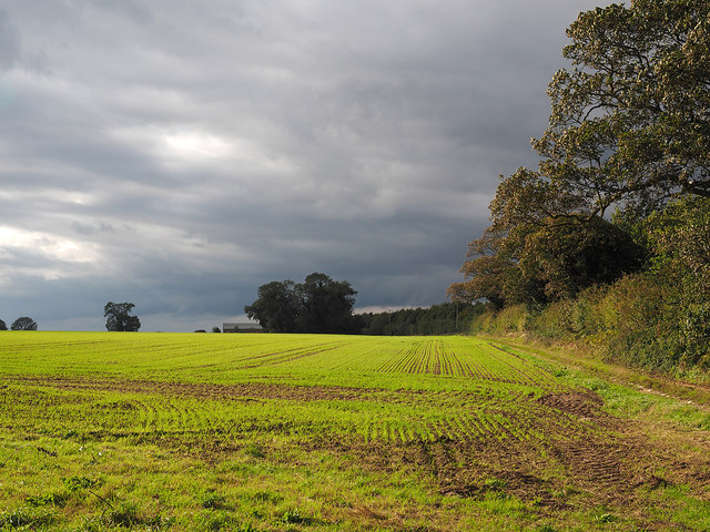
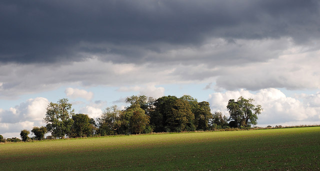
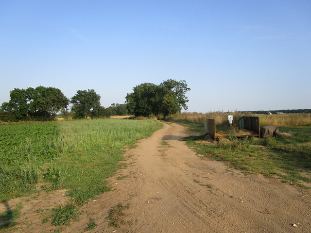
South Acre is a civil parish located in the county of Norfolk, England. It is situated about 10 miles east of the town of King's Lynn and covers an area of approximately 6 square miles. The parish is primarily rural, consisting of agricultural land, open fields, and small clusters of residential properties.

The village of South Acre itself is a small and picturesque settlement, with a population of around 200 people. It is known for its charming cottages, traditional architecture, and peaceful atmosphere. The parish also encompasses the hamlets of West Acre and Newton by Castle Acre.

One of the notable features of South Acre is the presence of historical landmarks. The ruins of Castle Acre Castle, a Norman motte and bailey fortress dating back to the 12th century, can be found in the parish. Additionally, the nearby Castle Acre Priory, a Cluniac monastery founded in 1090, is a popular tourist attraction.

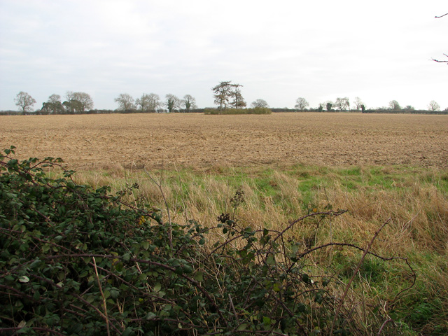
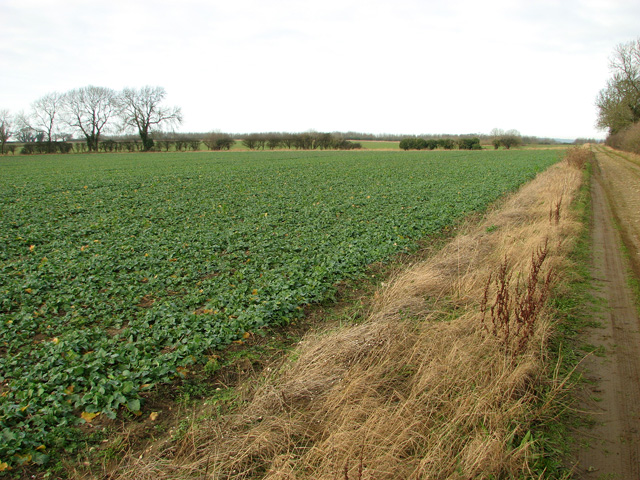
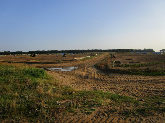
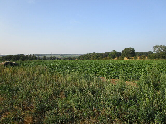
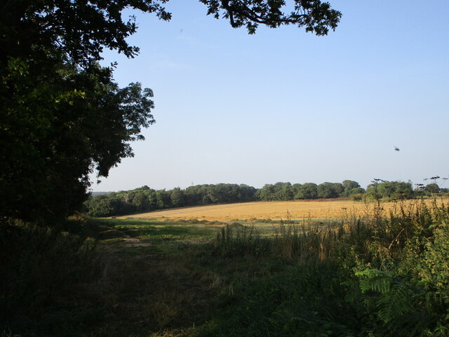
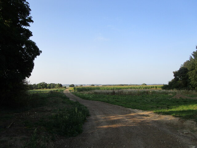
The economy of South Acre is primarily centered around agriculture, with farming being the main industry in the area. The fertile land is suitable for arable farming, and crops such as wheat, barley, and vegetables are cultivated.

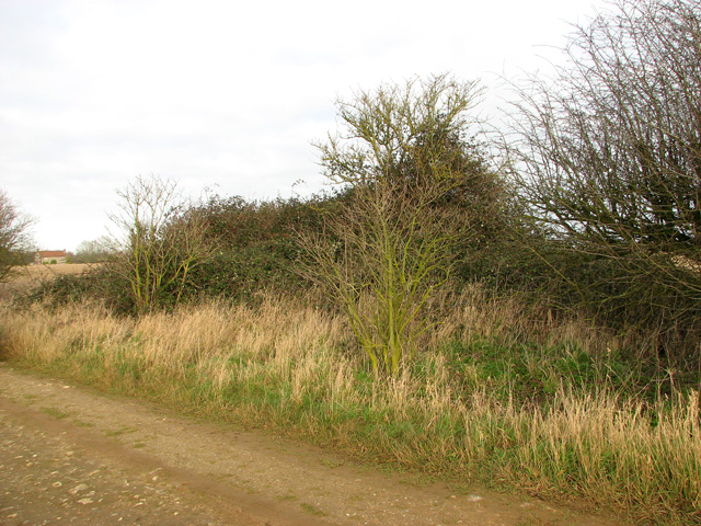
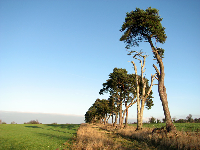
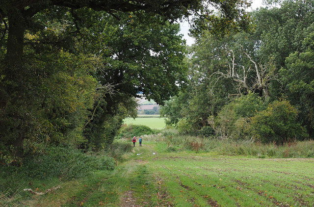
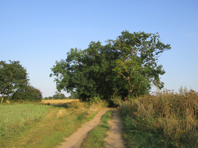
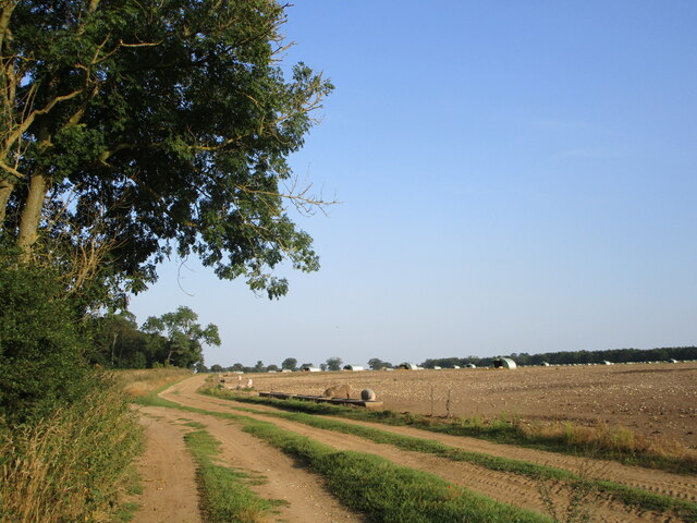
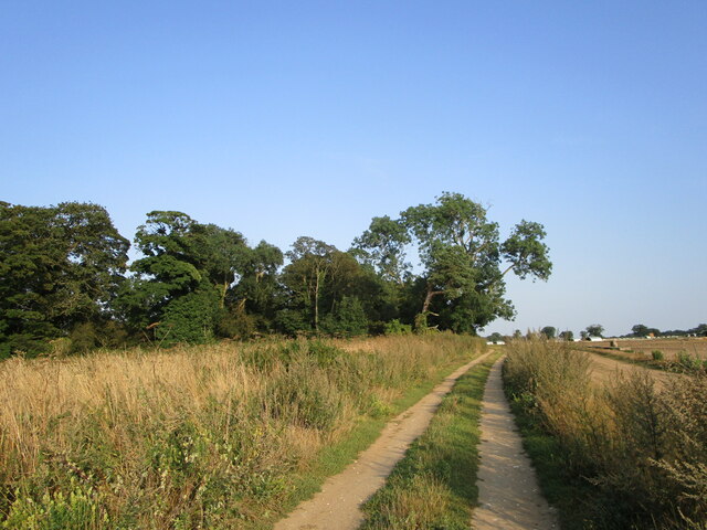
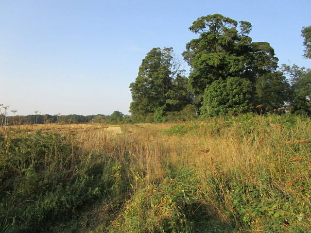
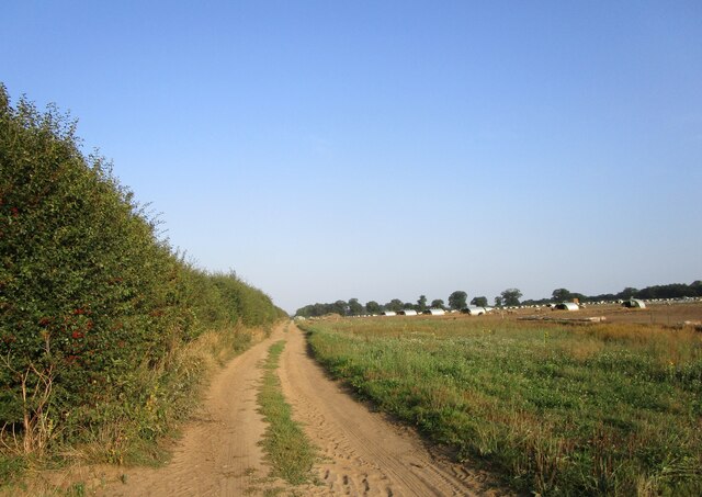
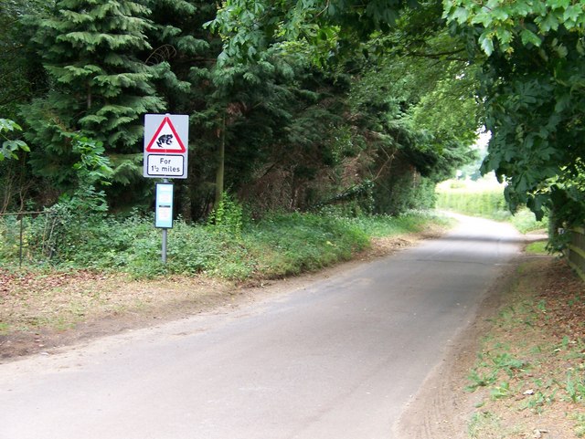
The parish is also surrounded by beautiful natural landscapes, including the River Nar, which flows through the area, and the scenic countryside of Norfolk. This makes South Acre a desirable location for outdoor activities such as hiking, cycling, and birdwatching.

Overall, South Acre offers a peaceful and idyllic setting, combining historical charm with rural beauty, making it a popular destination for both residents and visitors.

If you have any feedback on the listing, please let us know in the comments section below.

South Acre Images

Images are sourced within 2km of 52.686876/0.669387 or Grid Reference TF8013. Thanks to Geograph Open Source API. All images are credited.

Bramble patch beside farm track, South Acre It hides a WW2 decoy airfield bunker, one of three to divert enemy fire from RAF Marham. Its official designation was 27b (South Acre).
Bramble patch beside farm track, South Acre
It hides a WW2 decoy airfield bunker, one of three to divert enemy fire from RAF Marham. Its official designation was 27b (South Acre).
Barnbrick pit, South Acre The disused pit is marked by the copse growing in it.
Barnbrick pit, South Acre
The disused pit is marked by the copse growing in it.
Oilseed rape crop, South Acre
Tall pine trees growing on field boundary
Field with emerging crop The northern edge of a field with Keeper's Cottage in the distance.
Field with emerging crop
The northern edge of a field with Keeper's Cottage in the distance.
Field with emerging crop A crop, presumably wheat, is beginning to show in this field near to South Acre; Three-cocked-hat Plantation is beyond.
Field with emerging crop
A crop, presumably wheat, is beginning to show in this field near to South Acre; Three-cocked-hat Plantation is beyond.
Walkers along a restricted byway Two walkers along a route through fields with Blakeneyhill Plantation at the right side of the image. The term restricted byway distinguishes such routes from byways in that on a byway, in the main, one can use 'mechanically propelled vehicles', whereas on a restricted byway, those are not allowed.
Walkers along a restricted byway
Two walkers along a route through fields with Blakeneyhill Plantation at the right side of the image. The term restricted byway distinguishes such routes from byways in that on a byway, in the main, one can use 'mechanically propelled vehicles', whereas on a restricted byway, those are not allowed.
Restricted byway to Fincham Drove
Pig farming near Three-cocked-hat Plantation
Suagr beet field near West Acre
Restricted byway to Fincham Drove
Restricted byway and Blakeneyhill Plantation The byway follows the edge of the field on the left.
Restricted byway and Blakeneyhill Plantation
The byway follows the edge of the field on the left.
Restricted byway and free range pigs
Restricted byway approaching Three-cocked-hat Plantation
Stubble field and Three-cocked-hat Plantation
Farm track Blakeneyhill Plantation in the distance on the left.
Farm track
Blakeneyhill Plantation in the distance on the left.
Restricted byway to Fincham Drove
Big Wood Lane at South Acre Beware of the frogs!
Big Wood Lane at South Acre
Beware of the frogs!
Show me another place!

South Acre is located at Grid Ref: TF8013 (Lat: 52.686876, Lng: 0.669387)

Administrative County: Norfolk

District: Breckland

Police Authority: Norfolk

What 3 Words

///mammals.tigers.awoke. Near Swaffham, Norfolk

Related Wikis

South Acre

South Acre is a village and civil parish in the English county of Norfolk. The village has almost disappeared, but the remnants are located about 1 km...

Castle Acre Priory

Castle Acre Priory was a Cluniac priory in the village of Castle Acre, Norfolk, England, dedicated to St Mary, St Peter, and St Paul. It is thought to...

Castle Acre Common

Castle Acre Common is a 17.8-hectare (44-acre) biological Site of Special Scientific Interest east of King's Lynn in Norfolk.This unimproved grazing marsh...

Castle Acre

Castle Acre is a village and civil parish in the English county of Norfolk. The village is situated on the River Nar some 4 miles (6.4 km) north of the...

Nearby Amenities

Located within 500m of 52.686876,0.669387
Power: pole
Lat/Long: 52.6833822/0.6691086
Power: pole
Lat/Long: 52.6828558/0.6704369
Power: pole
Lat/Long: 52.6837314/0.667913
Power: pole
Lat/Long: 52.6840842/0.6666429
Power: pole
Lat/Long: 52.6849061/0.6638347
Power: pole
Lat/Long: 52.6844606/0.6653447
Man Made: silo
Lat/Long: 52.6874942/0.6627113
Man Made: silo
Lat/Long: 52.687504/0.6627648
Man Made: silo
Lat/Long: 52.6875191/0.6628146
The data included in this document is from www.openstreetmap.org. The data is made available under ODbL.

Have you been to South Acre?

Leave your review of South Acre below (or comments, questions and feedback).