South Barrow
Civil Parish in Somerset South Somerset
England
South Barrow
South Barrow is a civil parish located in the county of Somerset, England. It is situated approximately 3 miles south of the town of Yeovil, nestled in the picturesque countryside of the region. The parish covers an area of around 1,500 acres and is bordered by several other parishes, including East Coker, Hardington Mandeville, and Chilthorne Domer.
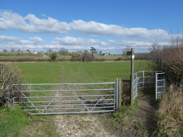
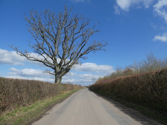
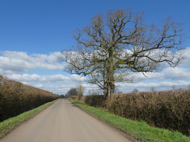
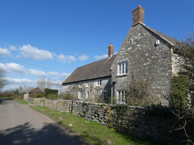
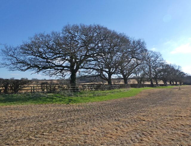
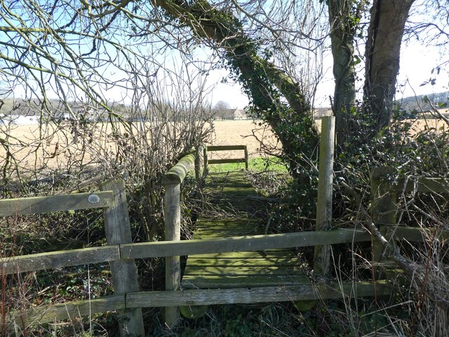
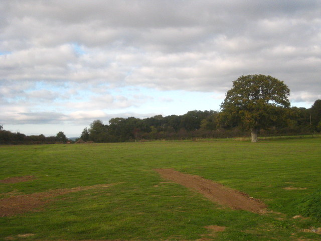
The landscape of South Barrow is predominantly rural, characterized by rolling hills, farmland, and scattered woodland. The area is known for its agricultural heritage, with farming playing a significant role in the local economy. The fertile soil and favorable climate make it suitable for a variety of crops, including cereals, vegetables, and fruits.
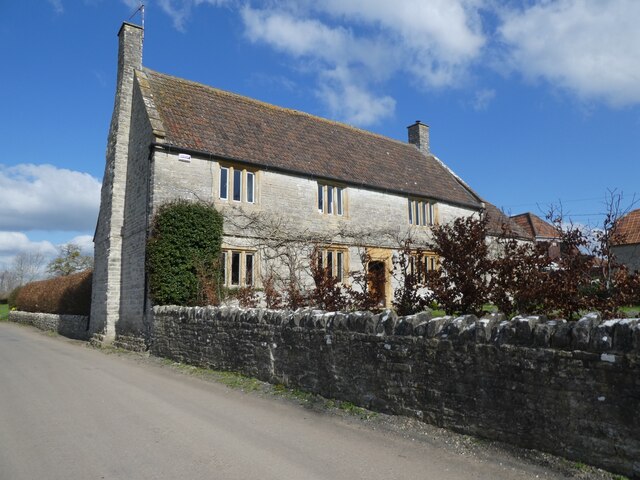
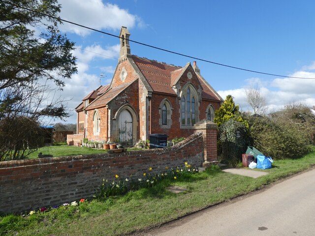
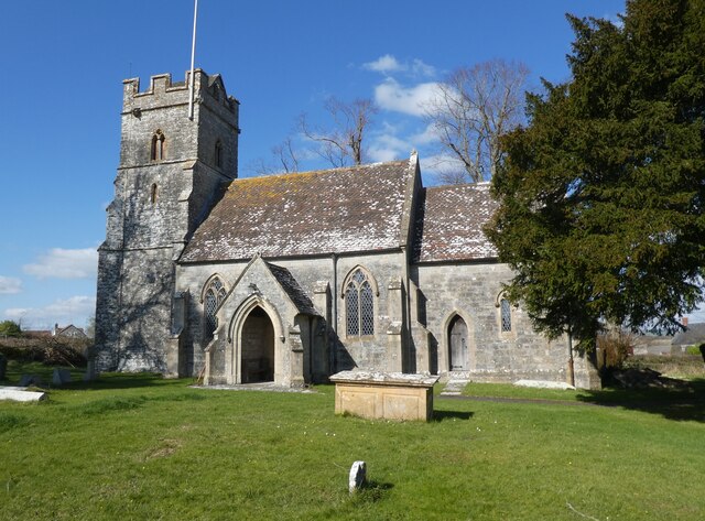
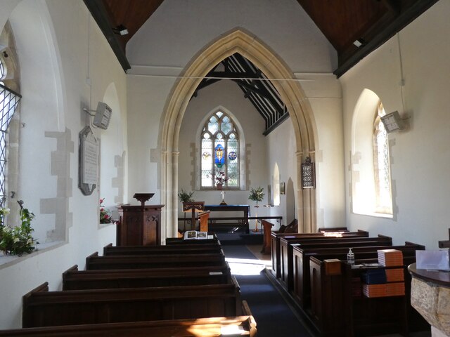
The village itself is small and tight-knit, with a population of around 300 residents. The heart of the community is centered around the parish church, St. Peter and St. Paul, which dates back to the 13th century and is a prominent feature of the village.
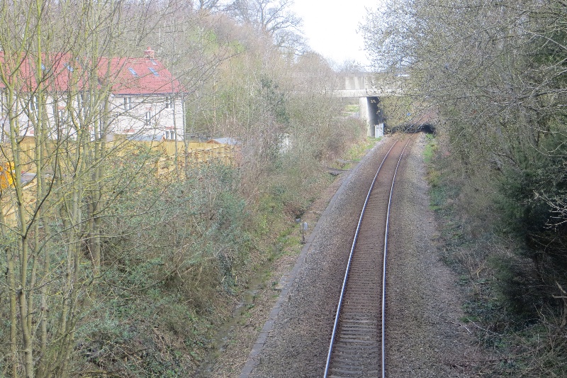
Despite its rural setting, South Barrow benefits from good transport links. The A37 road runs nearby, connecting the village to Yeovil and other major towns in the area. Additionally, the nearby Yeovil Junction railway station provides direct train services to London, Exeter, and Bristol.
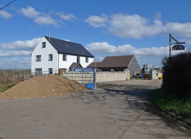
South Barrow offers a tranquil and peaceful environment, with its natural beauty and close-knit community attracting those seeking a quieter way of life. It is a place where residents can enjoy the idyllic countryside, while still having access to essential amenities and nearby urban areas.
If you have any feedback on the listing, please let us know in the comments section below.
South Barrow Images
Images are sourced within 2km of 51.050312/-2.573541 or Grid Reference ST5928. Thanks to Geograph Open Source API. All images are credited.


South Barrow is located at Grid Ref: ST5928 (Lat: 51.050312, Lng: -2.573541)
Administrative County: Somerset
District: South Somerset
Police Authority: Avon and Somerset
What 3 Words
///twin.supported.storybook. Near Castle Cary, Somerset
Nearby Locations
Related Wikis

Church of St Peter, South Barrow
The Anglican Church of St Peter in South Barrow, Somerset, England was built in the 14th century. It is a Grade II* listed building. == History == The...
South Barrow
South Barrow is a village and civil parish approximately 2 miles (3 km) north of Sparkford and 7 miles (11 km) north-east of Ilchester in the South Somerset...

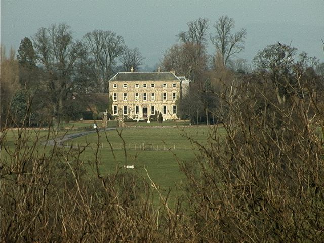
Hazlegrove House
Hazlegrove House is a 17th-century Grade II listed building located in the parish of Queen Camel near Sparkford, Somerset, England. It was largely rebuilt...
Hazlegrove Preparatory School
Hazlegrove Preparatory School is a non-selective co-educational preparatory school at Sparkford, Somerset in the south west of England. Hazlegrove is part...
Sparkford Wood
Sparkford Wood (grid reference ST613275) is an 8.4 hectare (20.7 acre) biological Site of Special Scientific Interest at Sparkford in Somerset, notified...

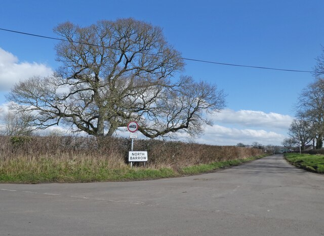
North Barrow
North Barrow is a village and civil parish 8 miles (13 km) to the north-east of Ilchester in the South Somerset district of Somerset, England. == History... ==
Sparkford railway station
Sparkford railway station served the village of Sparkford, South Somerset, England from 1856 to 1966 on the Heart of Wessex Line. == History == The station...

Haynes International Motor Museum
Haynes Motor Museum at Sparkford near Yeovil in Somerset, England, contains over 400 cars and motorcycles and a collection of other automobilia. The museum...
Nearby Amenities
Located within 500m of 51.050312,-2.573541Have you been to South Barrow?
Leave your review of South Barrow below (or comments, questions and feedback).