Greengrass Belt

Wood, Forest in Norfolk Breckland

England

Greengrass Belt

Bramble patch beside farm track, South Acre It hides a WW2 decoy airfield bunker, one of three to divert enemy fire from RAF Marham. Its official designation was 27b (South Acre).
Bramble patch beside farm track, South Acre Credit: Evelyn Simak

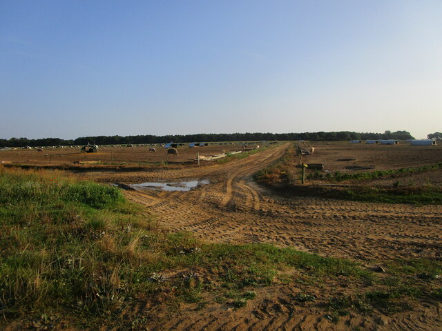
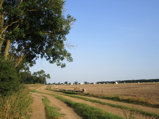
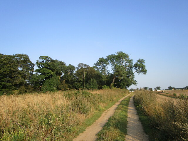
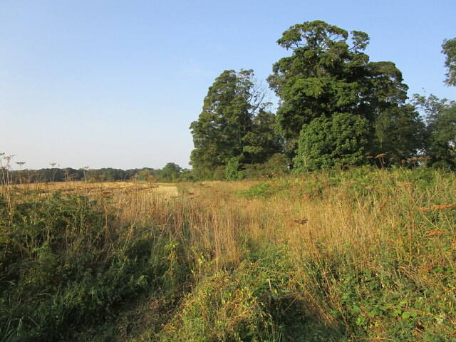
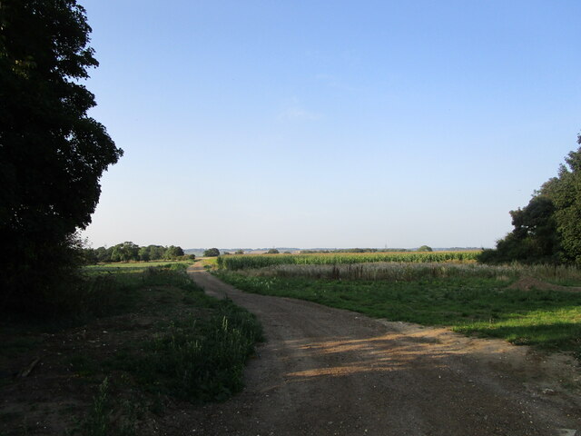
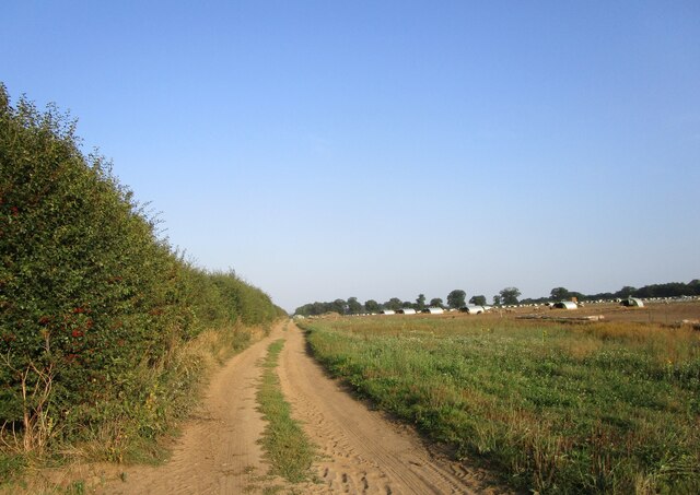
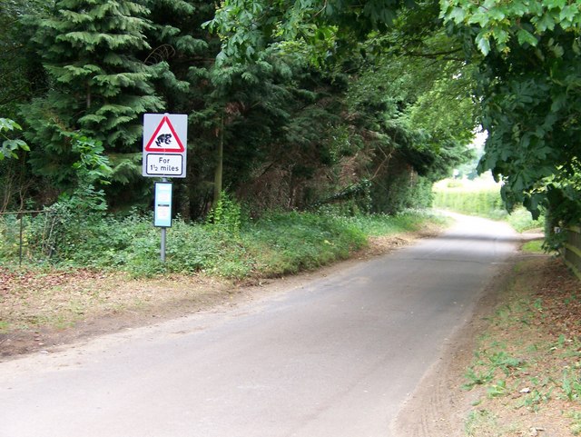
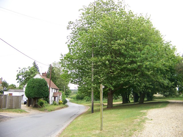
The Greengrass Belt in Norfolk, also known as Wood or Forest, is a picturesque and lush area located in the eastern part of England. Spanning over a vast expanse of land, this green oasis is a paradise for nature enthusiasts and those seeking tranquility.

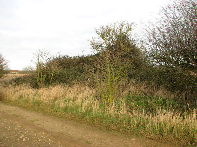
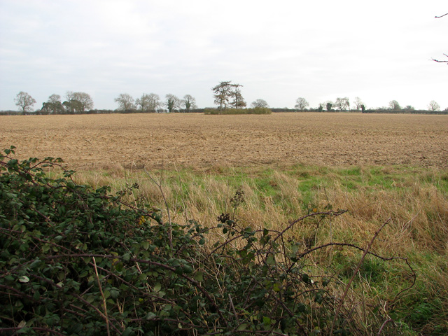
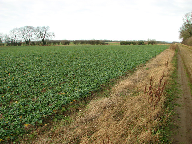
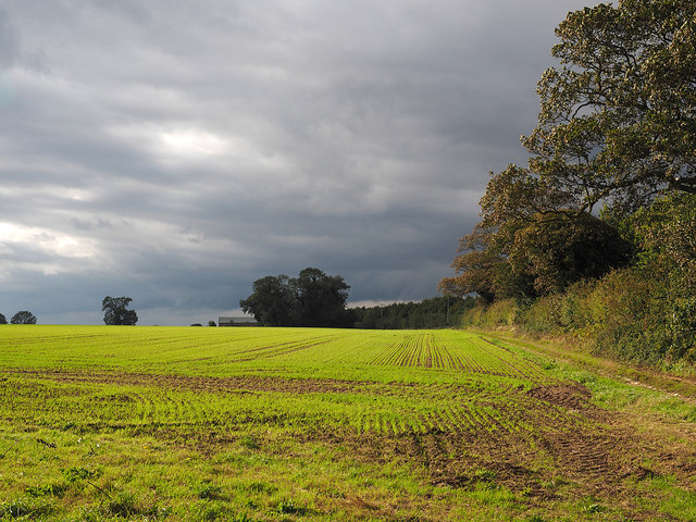
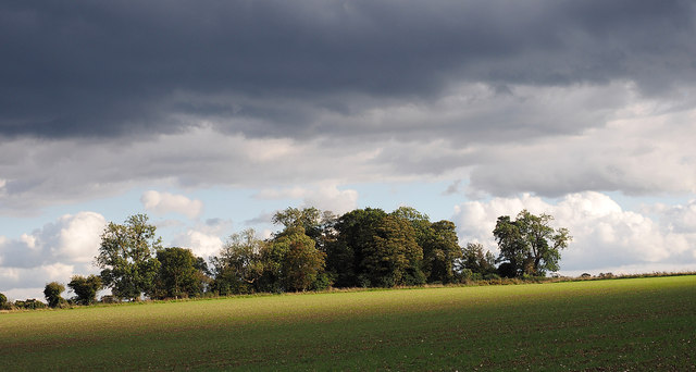
The Greengrass Belt is characterized by its dense woodland, which is teeming with a diverse range of plant and animal species. Towering oak, beech, and ash trees dominate the landscape, creating a dense canopy that provides shade and shelter for the many inhabitants of the forest. The forest floor is covered in a thick carpet of moss, ferns, and wildflowers, adding to the enchanting atmosphere.

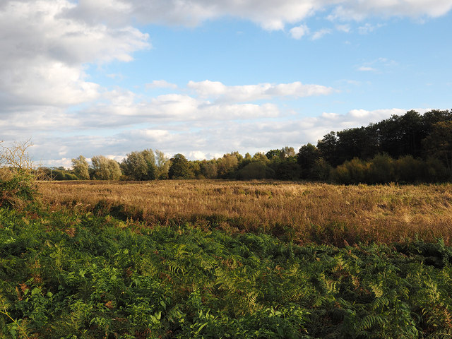
The area is home to a variety of wildlife, including deer, foxes, badgers, and a multitude of bird species. The Greengrass Belt is particularly renowned for its vibrant birdlife, with many species making their nests in the trees or on the forest floor. Birdwatchers flock to the area to catch a glimpse of rare and migratory species that pass through during different seasons.

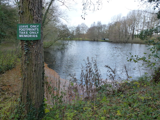
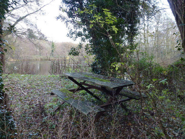
Visitors to the Greengrass Belt can explore the forest through a network of scenic walking trails, which meander through the woodland, offering breathtaking views and opportunities for wildlife spotting. The forest is also a popular destination for camping and picnicking, with designated areas available for visitors to set up camp or enjoy a leisurely outdoor meal.

Overall, the Greengrass Belt in Norfolk is a haven of natural beauty and biodiversity, offering visitors a chance to immerse themselves in the wonders of nature and escape the hustle and bustle of everyday life.

If you have any feedback on the listing, please let us know in the comments section below.

Greengrass Belt Images

Images are sourced within 2km of 52.692828/0.67433712 or Grid Reference TF8013. Thanks to Geograph Open Source API. All images are credited.

Bramble patch beside farm track, South Acre It hides a WW2 decoy airfield bunker, one of three to divert enemy fire from RAF Marham. Its official designation was 27b (South Acre).
Bramble patch beside farm track, South Acre
It hides a WW2 decoy airfield bunker, one of three to divert enemy fire from RAF Marham. Its official designation was 27b (South Acre).
Barnbrick pit, South Acre The disused pit is marked by the copse growing in it.
Barnbrick pit, South Acre
The disused pit is marked by the copse growing in it.
Oilseed rape crop, South Acre
LEAVE ONLY FOOTPRINTS TAKE ONLY MEMORIES A private lake alongside The River Nar between West Acre and South Acre in Norfolk
LEAVE ONLY FOOTPRINTS TAKE ONLY MEMORIES
A private lake alongside The River Nar between West Acre and South Acre in Norfolk
Lakeside picnic area between West Acre and South Acre This picnic bench appears to be slowly rotting away on the edge of this lake next to The River Nar in Norfolk.
Lakeside picnic area between West Acre and South Acre
This picnic bench appears to be slowly rotting away on the edge of this lake next to The River Nar in Norfolk.
Field with emerging crop The northern edge of a field with Keeper's Cottage in the distance.
Field with emerging crop
The northern edge of a field with Keeper's Cottage in the distance.
Field with emerging crop A crop, presumably wheat, is beginning to show in this field near to South Acre; Three-cocked-hat Plantation is beyond.
Field with emerging crop
A crop, presumably wheat, is beginning to show in this field near to South Acre; Three-cocked-hat Plantation is beyond.
Marshy ground on south side of footpath The path from which the image was recorded is part of The Nar Valley Way; the river flows close to the trees beyond the wet ground.
Marshy ground on south side of footpath
The path from which the image was recorded is part of The Nar Valley Way; the river flows close to the trees beyond the wet ground.
Pig farming near Three-cocked-hat Plantation
Restricted byway and free range pigs
Restricted byway approaching Three-cocked-hat Plantation
Stubble field and Three-cocked-hat Plantation
Farm track Blakeneyhill Plantation in the distance on the left.
Farm track
Blakeneyhill Plantation in the distance on the left.
Restricted byway to Fincham Drove
Big Wood Lane at South Acre Beware of the frogs!
Big Wood Lane at South Acre
Beware of the frogs!
Unclassified road heading east from Castle Acre
Rush hour at Castle Acre Ford This is the popular Castle Acre Ford. The access down stream has been closed off to 4x4 enthusiasts and the crossing is now more conventional. Close by are the ruins of a former priory and the castle itself.
<span class="nowrap"><a title="http://www.youtube.com/watch?v=wXiWnzhpPLs" rel="nofollow ugc noopener" href="http://www.youtube.com/watch?v=wXiWnzhpPLs">Link</a><img style="margin-left:2px;" alt="External link" title="External link - shift click to open in new window" src="https://s1.geograph.org.uk/img/external.png" width="10" height="10"/></span>
Rush hour at Castle Acre Ford
This is the popular Castle Acre Ford. The access down stream has been closed off to 4x4 enthusiasts and the crossing is now more conventional. Close by are the ruins of a former priory and the castle itself. LinkExternal link
The church of St. James the Great, Castle Acre Part of the medieval rood screen.
The church of St. James the Great, Castle Acre
Part of the medieval rood screen.
Show me another place!

Greengrass Belt is located at Grid Ref: TF8013 (Lat: 52.692828, Lng: 0.67433712)

Administrative County: Norfolk

District: Breckland

Police Authority: Norfolk

What 3 Words

///kinder.radio.newer. Near Swaffham, Norfolk

Related Wikis

South Acre

South Acre is a village and civil parish in the English county of Norfolk. The village has almost disappeared, but the remnants are located about 1 km...

Castle Acre Priory

Castle Acre Priory was a Cluniac priory in the village of Castle Acre, Norfolk, England, dedicated to St Mary, St Peter, and St Paul. It is thought to...

Castle Acre Common

Castle Acre Common is a 17.8-hectare (44-acre) biological Site of Special Scientific Interest east of King's Lynn in Norfolk.This unimproved grazing marsh...

Castle Acre

Castle Acre is a village and civil parish in the English county of Norfolk. The village is situated on the River Nar some 4 miles (6.4 km) north of the...

Nearby Amenities

Located within 500m of 52.692828,0.67433712
Power: tower
Ref: 4VV 97
Lat/Long: 52.69421/0.668836
Power: tower
Ref: 4VV 99
Lat/Long: 52.691258/0.675986
Power: tower
Ref: 4VV 98
Lat/Long: 52.69224/0.673562
Power: tower
Ref: 4VV 100
Lat/Long: 52.690341/0.678336
Entrance: main
Lat/Long: 52.6964051/0.6769995
Historic: ruins
Note: cross stump
Lat/Long: 52.6965567/0.6771065
South Acre
Place: village
Wikidata: Q7565355
Wikipedia: en:South Acre
Lat/Long: 52.6957525/0.6772269
Bench
Backrest: yes
Material: wood
Seats: 3
Lat/Long: 52.6960367/0.6773768
Fixme: incomplete
Lat/Long: 52.6966106/0.6749805
Pipeline: marker
Substance: oil
Lat/Long: 52.6971415/0.675253
Pipeline: marker
Pipeline Ref: SJ/M
Substance: oil
Lat/Long: 52.6970782/0.6752155
Entrance: yes
Lat/Long: 52.6962755/0.6769636
Entrance: yes
Lat/Long: 52.6963639/0.677145
Give Way
Lat/Long: 52.6958802/0.6794256
Give Way
Lat/Long: 52.6951039/0.680121
Give Way
Lat/Long: 52.695266/0.680048
Post Box
Collection Times: Mo-Fr 16:45; Sa 10:00
Note: Priority Postbox white sticker related to supporting NHS
Operator: Royal Mail
Post Box Design: 2010_pattern
Post Box Mounting: pier
Post Box Type: lamp
Ref: PE32 259
Royal Cypher: EIIR
Royal Cypher Wikidata: Q33102113
Lat/Long: 52.6965207/0.6774908
Barrier: cattle_grid
Lat/Long: 52.6972429/0.6736878
Access: private
Barrier: swing_gate
Colour: black
Material: metal
Lat/Long: 52.6970754/0.6750565
Location Transition: yes
Power: pole
Transformer: distribution
Lat/Long: 52.697297/0.6742906
Power: pole
Lat/Long: 52.6971153/0.6754003
Information: board
Tourism: information
Lat/Long: 52.6966439/0.6769634
The data included in this document is from www.openstreetmap.org. The data is made available under ODbL.

Have you been to Greengrass Belt?

Leave your review of Greengrass Belt below (or comments, questions and feedback).