Brunthwaite
Settlement in Yorkshire
England
Brunthwaite
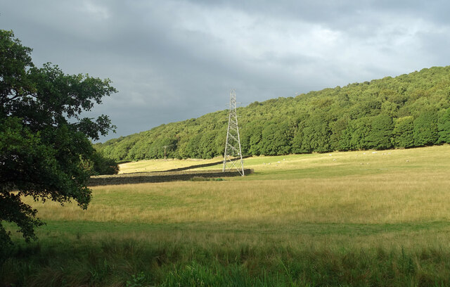
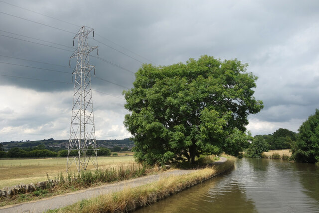
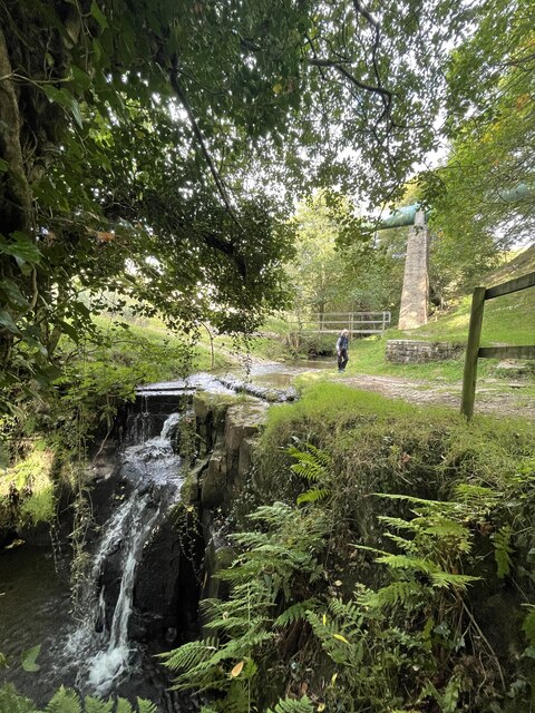
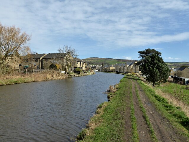
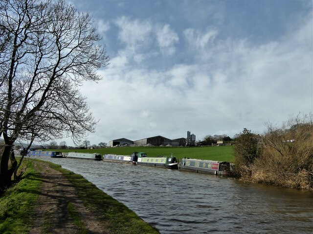
Brunthwaite is a small village located in the county of Yorkshire, England. Situated in the Craven district, it is nestled within the picturesque countryside, offering stunning views of the surrounding hills and valleys. The village is part of the scenic Yorkshire Dales National Park, renowned for its natural beauty and outdoor recreational opportunities.
With a population of approximately 300 residents, Brunthwaite is a close-knit community, where locals take pride in their village and its heritage. The village is characterized by its traditional stone-built houses, which add to its charming and rustic atmosphere. The area is known for its agriculture, with farming being a significant part of the local economy.
Despite its small size, Brunthwaite offers a range of amenities for its residents and visitors. The village has a primary school, providing education for local children, and a village hall, which serves as a hub for community activities and events. There is also a local pub, where residents and visitors can gather for a drink and a meal, creating a friendly and welcoming atmosphere.
For those seeking outdoor pursuits, Brunthwaite is ideally situated for exploring the surrounding countryside. The village is a popular starting point for hiking and cycling trails, with numerous routes offering breathtaking views of the Yorkshire Dales. Nearby attractions include the iconic Malham Cove and the stunning Gordale Scar, both of which are within a short drive from the village.
In summary, Brunthwaite is a picturesque village in Yorkshire, offering a peaceful and idyllic setting amidst the stunning landscapes of the Yorkshire Dales. With its strong sense of community and ample opportunities for outdoor activities, it is a delightful destination for both residents and visitors alike.
If you have any feedback on the listing, please let us know in the comments section below.
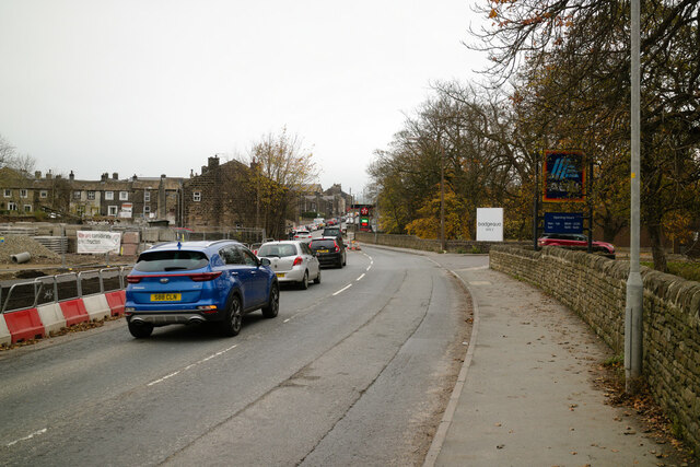
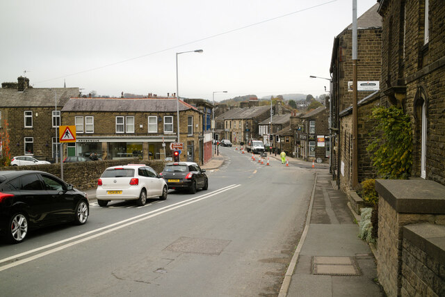
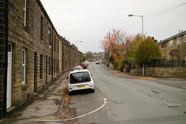
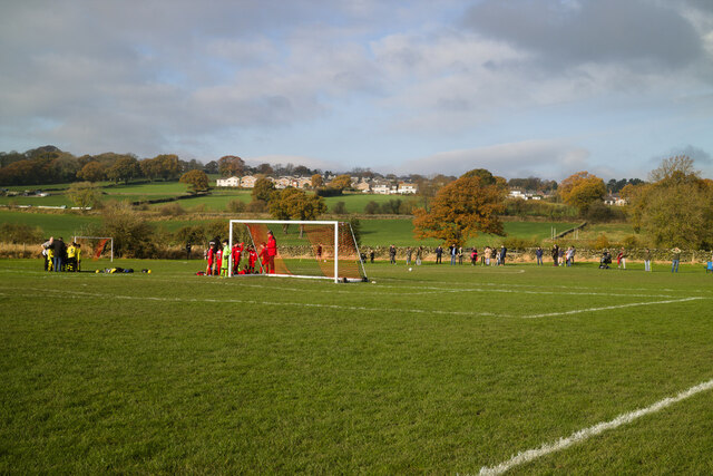
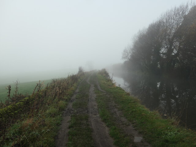
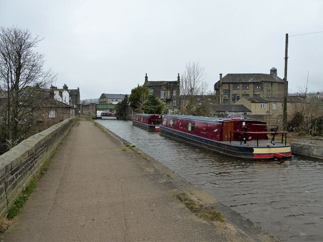
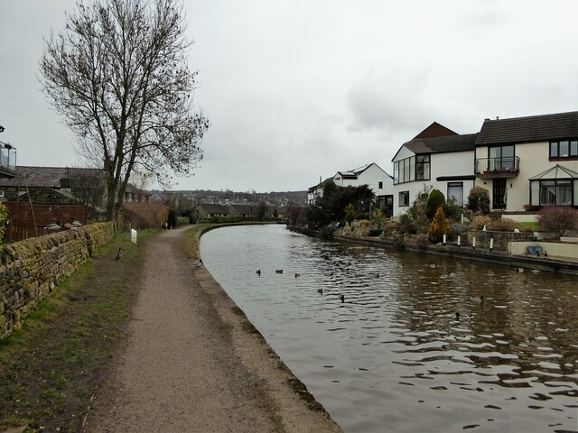
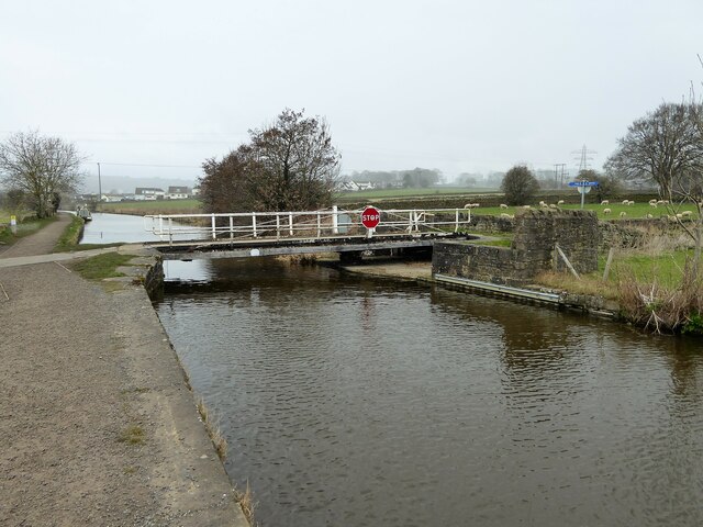
Brunthwaite Images
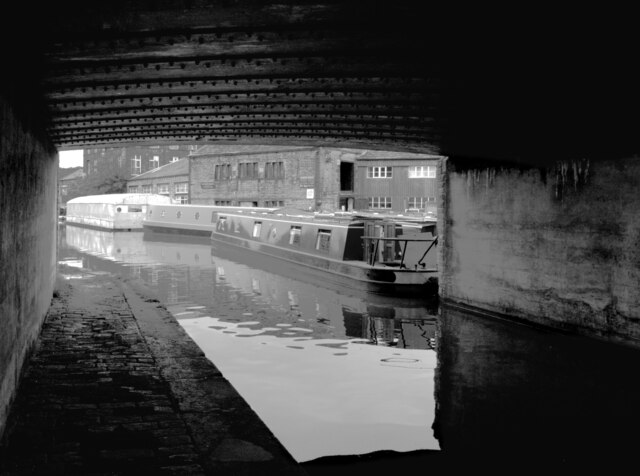
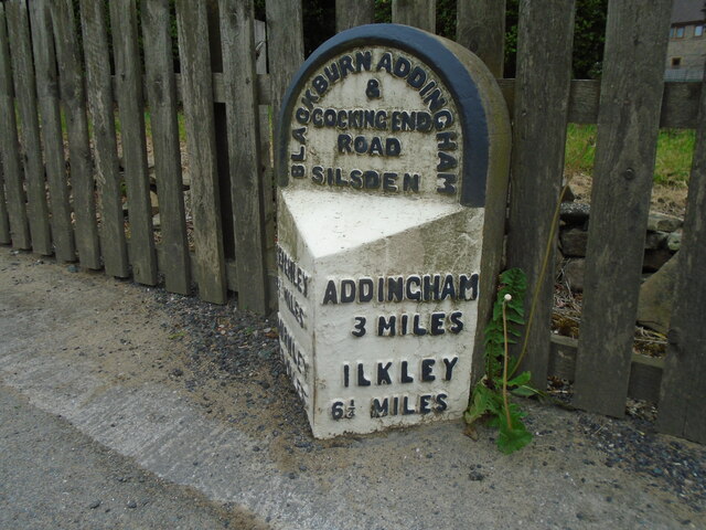
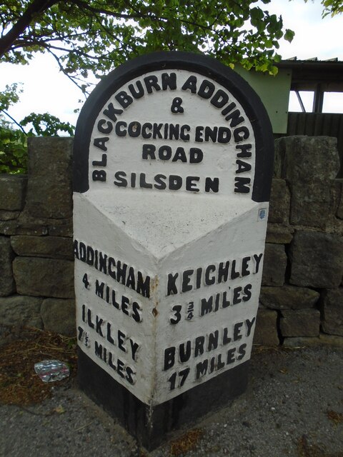
Images are sourced within 2km of 53.911657/-1.921567 or Grid Reference SE0546. Thanks to Geograph Open Source API. All images are credited.
Brunthwaite is located at Grid Ref: SE0546 (Lat: 53.911657, Lng: -1.921567)
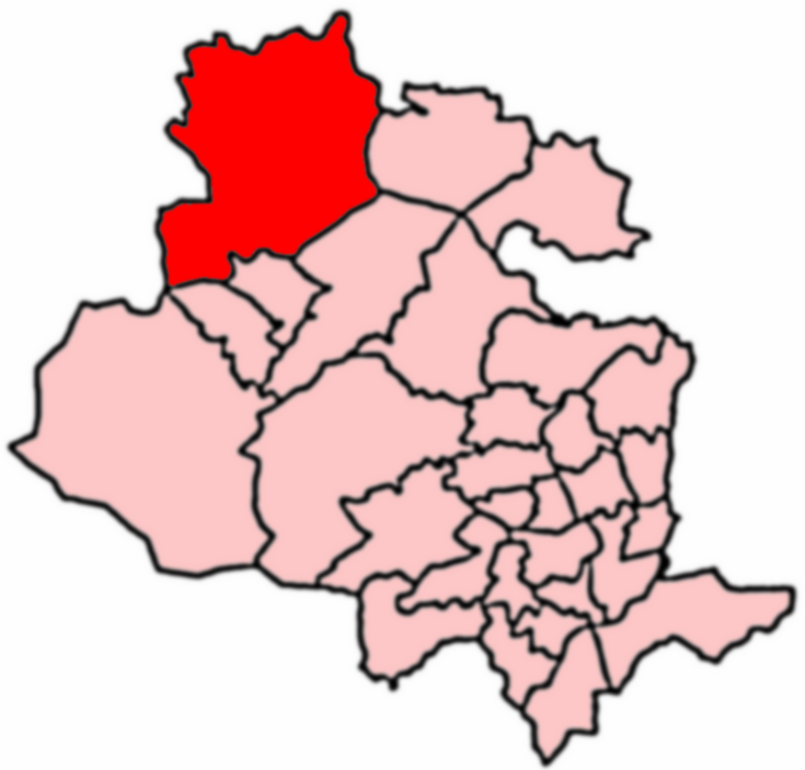
Division: West Riding
Unitary Authority: Bradford
Police Authority: West Yorkshire
What 3 Words
///alive.left.itself. Near Silsden, West Yorkshire
Nearby Locations
Related Wikis

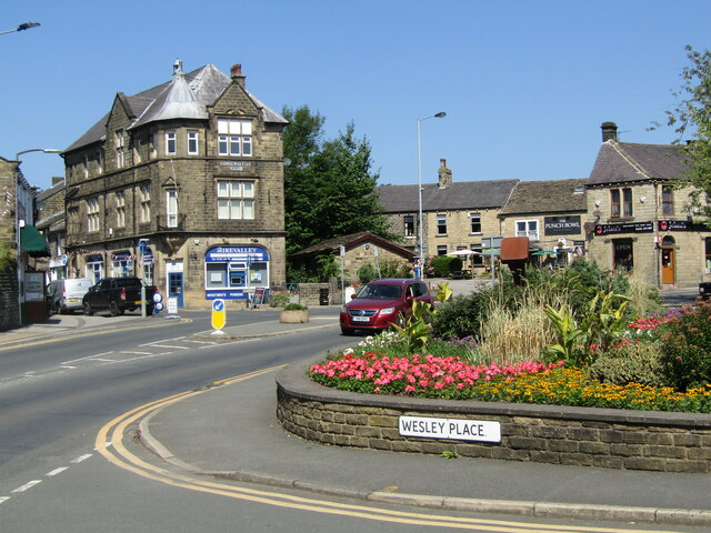
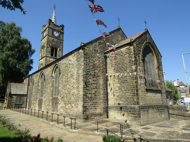
Silsden
Silsden is a town and civil parish in the City of Bradford in West Yorkshire, England, on the River Aire and Leeds and Liverpool Canal between Keighley...

Silsden Town Hall
Silsden Town Hall is a municipal building in Kirkgate, Silsden, West Yorkshire, England. The town hall is the meeting place of Silsden Town Council....
Craven (Bradford ward)
Craven is an electoral ward within the City of Bradford Metropolitan District Council, West Yorkshire, England. The population of the ward at the 2011...

Silsden A.F.C.
Silsden A.F.C. is a football club based in Silsden, West Yorkshire, England, and is currently a member of the Northern Counties East League Premier Division...
Nearby Amenities
Located within 500m of 53.911657,-1.921567Have you been to Brunthwaite?
Leave your review of Brunthwaite below (or comments, questions and feedback).