Bruntingthorpe
Settlement in Leicestershire Harborough
England
Bruntingthorpe

Bruntingthorpe is a village located in the Harborough district of Leicestershire, England. Situated approximately 10 miles southeast of the city of Leicester, Bruntingthorpe is a small rural community with a population of around 200 people.
The village is known for its rich history, dating back to the Domesday Book in 1086, where it was recorded as "Bruntorp." The name Bruntingthorpe is believed to have Anglo-Saxon origins, with "brun" meaning "brown" and "thorpe" referring to a small settlement.
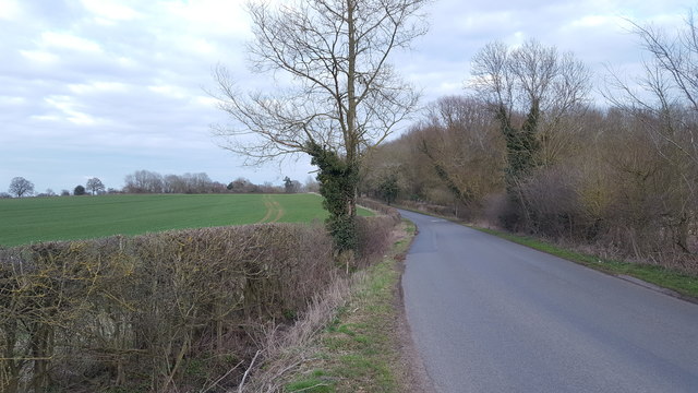
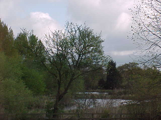
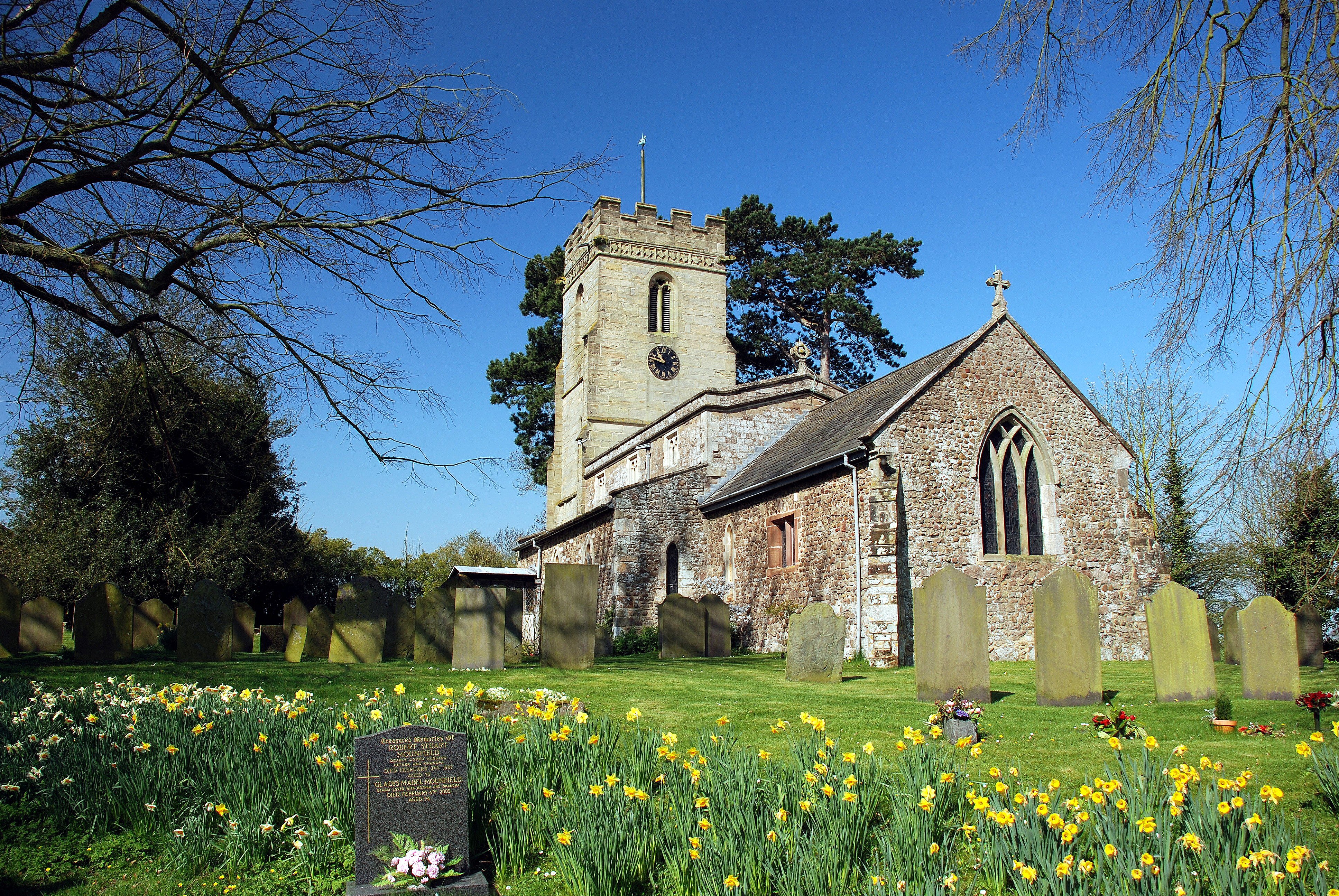
Primarily an agricultural community, Bruntingthorpe is surrounded by picturesque farmland and rolling countryside. The village itself is characterized by charming cottages and historic buildings, including the Grade II listed St. Mary's Church, which dates back to the 14th century.
One of the notable features of Bruntingthorpe is its airfield, which was originally established as a Royal Air Force base during World War II. Today, the airfield is privately owned and has become a popular site for aviation enthusiasts and businesses. It houses an extensive collection of vintage aircraft and hosts various events, including airshows and vehicle exhibitions.
In addition to its historical and aviation significance, Bruntingthorpe also offers a range of amenities for residents and visitors. These include a village hall, a primary school, a pub, and several recreational facilities, such as sports fields and a playground.
Overall, Bruntingthorpe is a quaint village that combines its rich heritage with a thriving aviation industry, making it an interesting and attractive destination for both history buffs and aviation enthusiasts alike.
If you have any feedback on the listing, please let us know in the comments section below.
Bruntingthorpe Images
Images are sourced within 2km of 52.503415/-1.112725 or Grid Reference SP6089. Thanks to Geograph Open Source API. All images are credited.


Bruntingthorpe is located at Grid Ref: SP6089 (Lat: 52.503415, Lng: -1.112725)
Administrative County: Leicestershire
District: Harborough
Police Authority: Leicestershire
What 3 Words
///paddle.riskiest.warblers. Near Fleckney, Leicestershire
Nearby Locations
Related Wikis

Bruntingthorpe
Bruntingthorpe is a village and civil parish in the Harborough district of Leicestershire, England. According to the census in 2001 the parish had a population...
St Mary's Church, Bruntingthorpe
St Mary's Church is a church in Bruntingthorpe, Leicestershire. It is a Grade II listed building. == History == The church consists of a nave, north aisle...
Peatling Parva
Peatling Parva is a village and civil parish in the Harborough district, south Leicestershire, England. It lies 2.6 km west-north-west of Ashby Magna and...
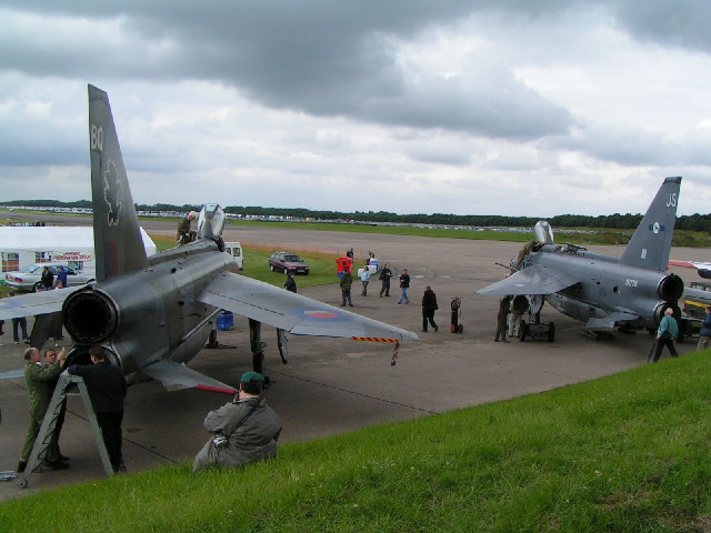
Bruntingthorpe Aerodrome
Bruntingthorpe Aerodrome and Proving Ground is a privately owned former airport near the village of Bruntingthorpe, Leicestershire 11 miles (18 km) to...
Nearby Amenities
Located within 500m of 52.503415,-1.112725Have you been to Bruntingthorpe?
Leave your review of Bruntingthorpe below (or comments, questions and feedback).