Brunton

Settlement in Fife

Scotland

Brunton

Looking towards Tay Estuary at Fliskmillan
Looking towards Tay Estuary at Fliskmillan Credit: Becky Williamson

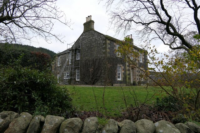
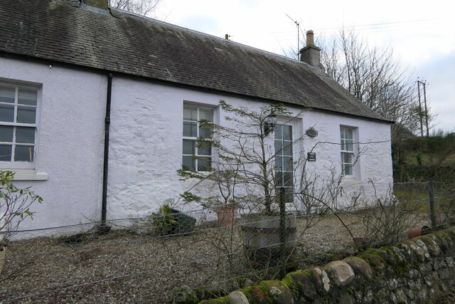
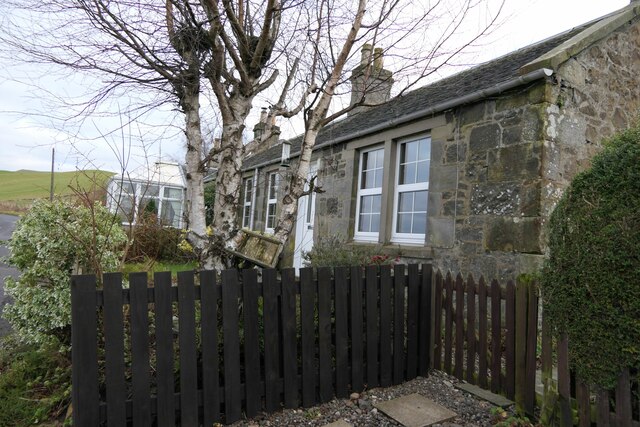
Brunton is a small village located in the eastern part of Fife, Scotland. Situated approximately 5 miles northwest of the town of Kirkcaldy, Brunton is a rural community surrounded by picturesque countryside. The village is home to a close-knit population of around 200 residents.

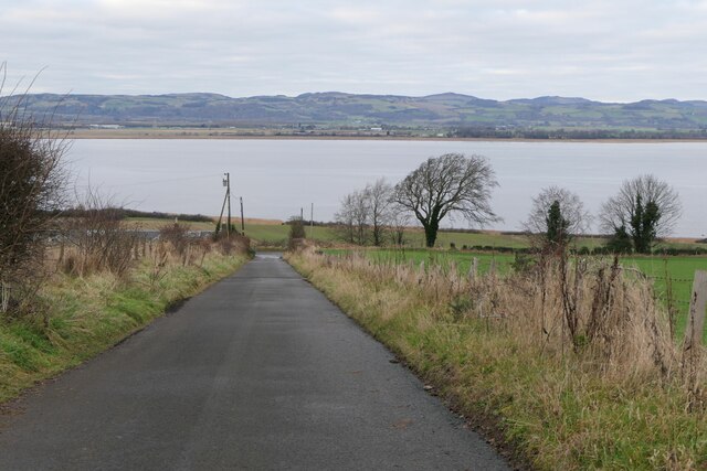
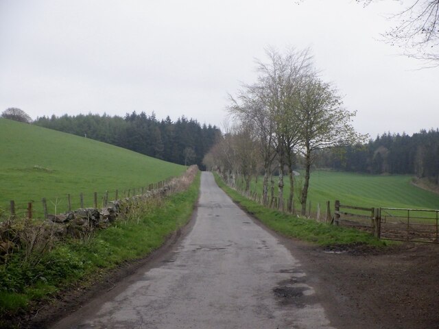
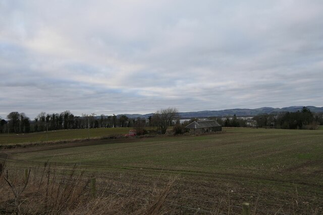
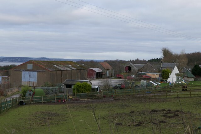
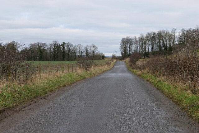
One of the defining features of Brunton is its scenic beauty. The village is nestled in the rolling hills of Fife, offering breathtaking views of the surrounding landscape. The area is known for its lush greenery, with fields and farmland stretching as far as the eye can see. This makes Brunton an ideal place for those seeking a peaceful and idyllic rural setting.

Although Brunton is a small village, it is conveniently located near several amenities. The nearby town of Kirkcaldy provides residents with access to various shops, supermarkets, and healthcare facilities. There are also several primary and secondary schools within a short distance of the village, ensuring that families have access to quality education.

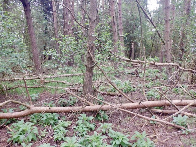
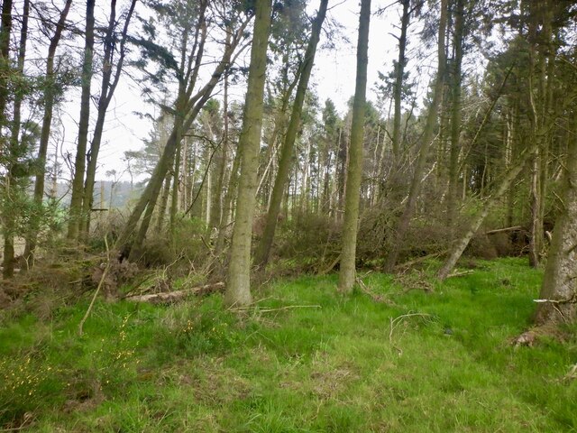
For outdoor enthusiasts, Brunton offers plenty of opportunities for recreation. The countryside surrounding the village provides ample space for walking, cycling, and exploring nature. Additionally, the nearby Lomond Hills Regional Park offers a range of outdoor activities, including hiking and birdwatching.

In summary, Brunton is a charming village located in the heart of Fife, Scotland. With its stunning natural surroundings and convenient access to amenities, it offers residents a peaceful and rural lifestyle.

If you have any feedback on the listing, please let us know in the comments section below.
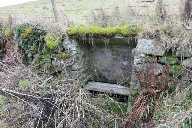
Brunton Images

Images are sourced within 2km of 56.375095/-3.1040411 or Grid Reference NO3120. Thanks to Geograph Open Source API. All images are credited.

Looking towards Tay Estuary at Fliskmillan
Road by Creich Inexplicably part of the Fife Coast Path.
Road by Creich
Inexplicably part of the Fife Coast Path.
Summit area, Starr Law
Windthrow A strip wood on the slopes of Starr Law.
Windthrow
A strip wood on the slopes of Starr Law.
Well at West Flisk There is an Ordnance Survey benchmark on the right hand side of this former well. See also <a href="https://www.geograph.org.uk/photo/7687230">NO3122 : Benchmark on well at West Flisk</a>.
Well at West Flisk
There is an Ordnance Survey benchmark on the right hand side of this former well. See also NO3122 : Benchmark on well at West Flisk.
Benchmark on well at West Flisk Ordnance Survey benchmark. For database entry, see <span class="nowrap"><a title="https://www.bench-marks.org.uk/bm211339" rel="nofollow ugc noopener" href="https://www.bench-marks.org.uk/bm211339">Link</a><img style="margin-left:2px;" alt="External link" title="External link - shift click to open in new window" src="https://s1.geograph.org.uk/img/external.png" width="10" height="10"/></span>.  See also <a href="https://www.geograph.org.uk/photo/7687227">NO3122 : Well at West Flisk</a>.
Benchmark on well at West Flisk
Ordnance Survey benchmark. For database entry, see LinkExternal link. See also NO3122 : Well at West Flisk.
Benchmark, Carseview Cottage, Flisk Ordnance Survey benchmark.  For database entry, see <span class="nowrap"><a title="https://www.bench-marks.org.uk/bm211337" rel="nofollow ugc noopener" href="https://www.bench-marks.org.uk/bm211337">Link</a><img style="margin-left:2px;" alt="External link" title="External link - shift click to open in new window" src="https://s1.geograph.org.uk/img/external.png" width="10" height="10"/></span>.  See also <a href="https://www.geograph.org.uk/photo/7687279">NO3021 : Carseview Cottage, Flisk</a>.
Benchmark, Carseview Cottage, Flisk
Ordnance Survey benchmark. For database entry, see LinkExternal link. See also NO3021 : Carseview Cottage, Flisk.
Benchmark location, East Flisk This benchmark took quite a bit of finding.  We covered it back up as best we could once we had photographed it.  The original stone has been dislodged and the benchmark is lying on its side.
Benchmark location, East Flisk
This benchmark took quite a bit of finding. We covered it back up as best we could once we had photographed it. The original stone has been dislodged and the benchmark is lying on its side.
Fliskmillan House There is an Ordnance Survey benchmark on the  left-hand side of this building. See <a href="https://www.geograph.org.uk/photo/7687274">NO3021 : Benchmark, Fliskmillan House</a>.
Fliskmillan House
There is an Ordnance Survey benchmark on the left-hand side of this building. See NO3021 : Benchmark, Fliskmillan House.
Balhelvie Cottage There is an Ordnance Survey benchmark on this cottage, just above fence line to the right of the drainpipe in this photo. See also <a href="https://www.geograph.org.uk/photo/7687265">NO3021 : Benchmark, Balhelvie Cottages</a>.
Balhelvie Cottage
There is an Ordnance Survey benchmark on this cottage, just above fence line to the right of the drainpipe in this photo. See also NO3021 : Benchmark, Balhelvie Cottages.
West Flisk
West Flisk
East Flisk Farm On south side of River Tay.
East Flisk Farm
On south side of River Tay.
Ordnance Survey benchmark on fallen stone, East Flisk Described on database at <span class="nowrap"><a title="https://www.bench-marks.org.uk/bm211340" rel="nofollow ugc noopener" href="https://www.bench-marks.org.uk/bm211340">Link</a><img style="margin-left:2px;" alt="External link" title="External link - shift click to open in new window" src="https://s1.geograph.org.uk/img/external.png" width="10" height="10"/></span>.  See also <a href="https://www.geograph.org.uk/photo/7687235">NO3222 : Benchmark location, East Flisk</a>.
Ordnance Survey benchmark on fallen stone, East Flisk
Described on database at LinkExternal link. See also NO3222 : Benchmark location, East Flisk.
Benchmark, Balhelvie Cottages Ordnance Survey benchmark, described on database at <span class="nowrap"><a title="https://www.bench-marks.org.uk/bm211338" rel="nofollow ugc noopener" href="https://www.bench-marks.org.uk/bm211338">Link</a><img style="margin-left:2px;" alt="External link" title="External link - shift click to open in new window" src="https://s1.geograph.org.uk/img/external.png" width="10" height="10"/></span>.  See also <a href="https://www.geograph.org.uk/photo/7687247">NO3021 : Balhelvie Cottage</a>.
Benchmark, Balhelvie Cottages
Ordnance Survey benchmark, described on database at LinkExternal link. See also NO3021 : Balhelvie Cottage.
Road leading north-east from Balhelvie
Benchmark, Fliskmillan House Ordnance Survey benchmark, described on database at <span class="nowrap"><a title="https://www.bench-marks.org.uk/bm211336" rel="nofollow ugc noopener" href="https://www.bench-marks.org.uk/bm211336">Link</a><img style="margin-left:2px;" alt="External link" title="External link - shift click to open in new window" src="https://s1.geograph.org.uk/img/external.png" width="10" height="10"/></span>.  See also <a href="https://www.geograph.org.uk/photo/7687243">NO3021 : Fliskmillan House</a>.
Benchmark, Fliskmillan House
Ordnance Survey benchmark, described on database at LinkExternal link. See also NO3021 : Fliskmillan House.
Cottages at Flisk There is an Ordnance Survey benchmark on the nearest cottage.
Cottages at Flisk
There is an Ordnance Survey benchmark on the nearest cottage.
Carseview Cottage, Flisk There is an Ordnance Survey benchmark on this building.
Carseview Cottage, Flisk
There is an Ordnance Survey benchmark on this building.
Show me another place!

Brunton is located at Grid Ref: NO3120 (Lat: 56.375095, Lng: -3.1040411)

Unitary Authority: Fife

Police Authority: Fife

What 3 Words

///bookings.scouting.dean. Near Errol, Perth & Kinross

Nearby Locations

Loch Hill Brunton

Related Wikis

Creich, Fife

Creich (Scottish Gaelic: Craoich, pronounced [kʰɾɯːç]; OS: Criech), is a hamlet in Fife, Scotland.The local parish is named after Creich. The ruins of...

Norman's Law

Norman's Law is a prominent hill at the far eastern end of the Ochil Fault, Scotland. It sits above the south bank of the River Tay, around four miles...

Luthrie

Luthrie is a village in the parish of Creich in Fife, Scotland. A small stream shown on maps as Windygates Burn (but known locally as Luthrie Burn) flows...

Flisk

Flisk (Scottish Gaelic: Fleasg meaning "Stalk" or "Rod") was a parish in Fife, Scotland. According to the 1853 Gazetteer, in part: "Flisk parish is bounded...

Nearby Amenities

Located within 500m of 56.375095,-3.1040411
Loch Hill
Ele: 172
Natural: peak
Source: npe
Lat/Long: 56.3739416/-3.1107975
Craigsimmie
Ele: 161
Natural: peak
Source: npe
Lat/Long: 56.3789595/-3.1049511
Ele: 154
Natural: peak
Source: npe
Lat/Long: 56.3717385/-3.1072626
Brunton
Place: hamlet
Lat/Long: 56.3751503/-3.098171
Telephone
Lat/Long: 56.3749206/-3.0990372
Post Box
Post Box Type: wall
Ref: KY15 297
Royal Cypher: GVIR
Lat/Long: 56.3749206/-3.0990882
Power: pole
Lat/Long: 56.3768893/-3.1108386
Power: pole
Lat/Long: 56.3770565/-3.1097134
Power: pole
Lat/Long: 56.3772363/-3.1085531
Power: pole
Lat/Long: 56.3774115/-3.1073617
Power: pole
Lat/Long: 56.3773165/-3.1064268
Power: pole
Lat/Long: 56.377163/-3.1051238
Power: pole
Lat/Long: 56.377029/-3.1038745
Power: pole
Lat/Long: 56.3768755/-3.1025735
Power: pole
Lat/Long: 56.3767312/-3.1012601
Power: pole
Lat/Long: 56.3765846/-3.0999385
Power: pole
Lat/Long: 56.3769809/-3.0988526
Power: pole
Lat/Long: 56.3773222/-3.0979611
The data included in this document is from www.openstreetmap.org. The data is made available under ODbL.

Have you been to Brunton?

Leave your review of Brunton below (or comments, questions and feedback).