Swartha Wood

Wood, Forest in Yorkshire

England

Swartha Wood

Keighley Road, Silsden Looking towards the entrance to Aldi supermarket.
Keighley Road, Silsden Credit: Mark Anderson

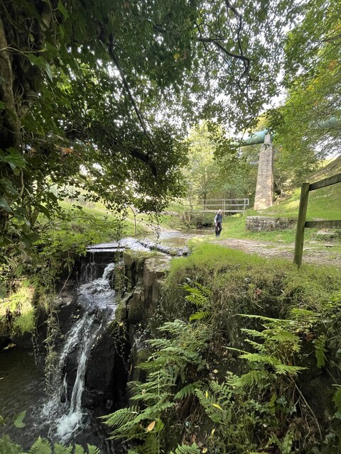
Swartha Wood is a picturesque forest located in the county of Yorkshire in Northern England. Situated amidst the rolling hills and lush green landscapes, this woodland area covers an approximate area of 100 hectares. The forest is known for its diverse range of trees, including oak, beech, birch, and pine, creating a rich and vibrant ecosystem.

The woodland boasts a tranquil and serene atmosphere, making it a popular destination for nature enthusiasts and hikers alike. A network of well-maintained trails meanders through the forest, offering visitors the opportunity to explore the area and discover its hidden gems. These trails cater to all levels of fitness and provide stunning viewpoints of the surrounding countryside.

Swartha Wood is not only a haven for flora, but also for fauna. The forest is home to a variety of wildlife, including deer, squirrels, badgers, and a wide array of bird species. Birdwatchers flock to the area to spot rare and indigenous birds, making it a birding paradise.

As a protected area, the wood is managed by local authorities to preserve its natural beauty and biodiversity. Conservation efforts are in place to protect the delicate ecosystem and ensure the forest's sustainability for future generations.

In addition to its natural wonders, Swartha Wood offers a range of amenities for visitors. These include picnic areas, visitor centers, and facilities for camping and outdoor activities. The forest also hosts educational programs and workshops to promote environmental awareness and appreciation for nature.

Overall, Swartha Wood in Yorkshire is a captivating destination that offers a peaceful retreat into the heart of nature, where visitors can immerse themselves in the beauty and tranquility of this enchanting forest.

If you have any feedback on the listing, please let us know in the comments section below.
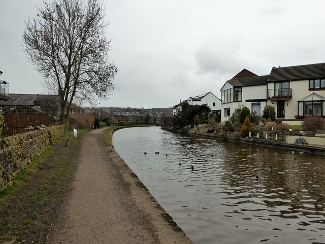
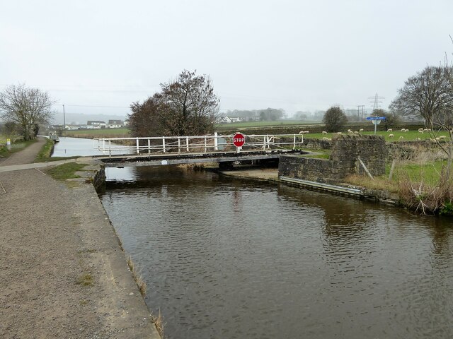
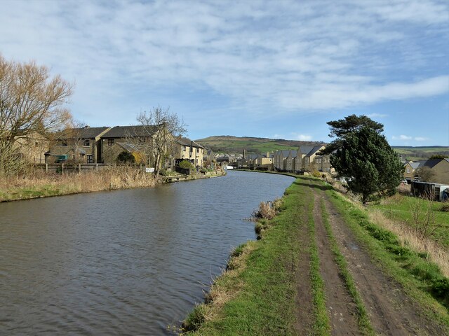
Swartha Wood Images

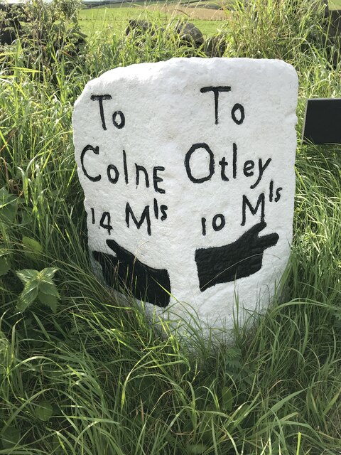
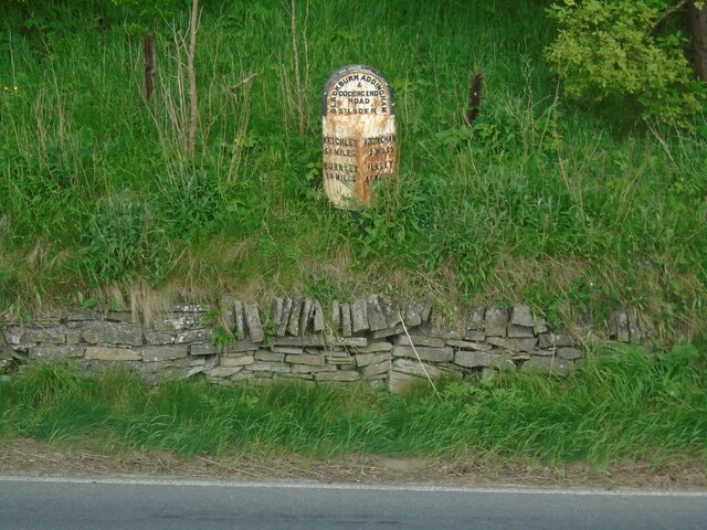
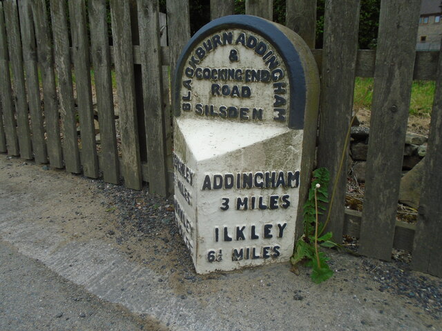
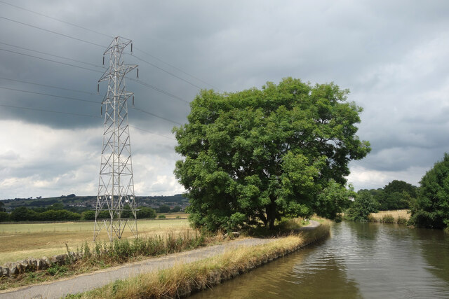
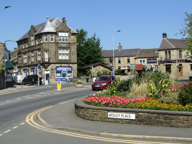
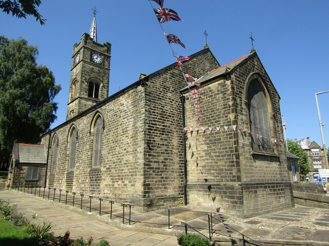
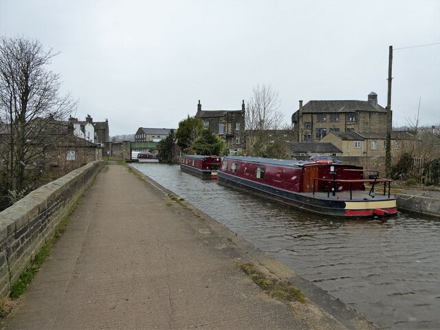
Images are sourced within 2km of 53.916031/-1.916868 or Grid Reference SE0546. Thanks to Geograph Open Source API. All images are credited.

Keighley Road, Silsden Looking towards the entrance to Aldi supermarket.
Keighley Road, Silsden
Looking towards the entrance to Aldi supermarket.
Keighley Road, Silsden approaching Elliott Street Elliott Street is on the left. The temporary traffic lights are for some road works on St John's Street on the right.
Keighley Road, Silsden approaching Elliott Street
Elliott Street is on the left. The temporary traffic lights are for some road works on St John's Street on the right.
Elliott Street, Silsden near Prince Street
The Leeds and Liverpool Canal, Silsden Under the bridge carrying Keighley Road (A6034).
The Leeds and Liverpool Canal, Silsden
Under the bridge carrying Keighley Road (A6034).
Milestone Brown Bank Lane / Turner Lane Junction Freshly painted and refurbished
Milestone Brown Bank Lane / Turner Lane Junction
Freshly painted and refurbished
Old milestone One of the 615 milestones set up by the newly formed West Riding County Council in 1893/94.  This route extends from Addingham through Silsden and Glusburn to the county boundary with Lancashire on the A6068.  It is on the east side of Bolton Road near the entrance to Cringles Park Home Estate.  It is Grade II listed 1223253.
Old milestone
One of the 615 milestones set up by the newly formed West Riding County Council in 1893/94. This route extends from Addingham through Silsden and Glusburn to the county boundary with Lancashire on the A6068. It is on the east side of Bolton Road near the entrance to Cringles Park Home Estate. It is Grade II listed 1223253.
Old milestone On the south-east side of Bolton Road at the northern end of Silsden is this West Riding County Council stone from 1893/94.  Although the pavement has been built up over the years all the legends are still visible.   It is not known at which foundry the castings on this route were forged.
Old milestone
On the south-east side of Bolton Road at the northern end of Silsden is this West Riding County Council stone from 1893/94. Although the pavement has been built up over the years all the legends are still visible. It is not known at which foundry the castings on this route were forged.
Leeds & Liverpool Canal near Silsden
Silsden - Town Centre Conservative Club and The Punchbowl pub at the top of the Kirkgate.
Silsden - Town Centre
Conservative Club and The Punchbowl pub at the top of the Kirkgate.
Silsden - St James Church The parish church dates from 1712 and was originally a chapel of ease for Kildwick.
 <span class="nowrap"><a title="www.silsdenhistorygroup.co.uk" rel="nofollow ugc noopener" href="http://www.silsdenhistorygroup.co.uk">Link</a><img style="margin-left:2px;" alt="External link" title="External link - shift click to open in new window" src="https://s1.geograph.org.uk/img/external.png" width="10" height="10"/></span>
Silsden - St James Church
The parish church dates from 1712 and was originally a chapel of ease for Kildwick. LinkExternal link
Ford on Holden Beck This ford is found above the falls on the Holden Beck. A video of the ford can be seen at:
<span class="nowrap"><a title="https://youtu.be/MS7EE2kjiK4" rel="nofollow ugc noopener" href="https://youtu.be/MS7EE2kjiK4">Link</a><img style="margin-left:2px;" alt="External link" title="External link - shift click to open in new window" src="https://s1.geograph.org.uk/img/external.png" width="10" height="10"/></span>
Ford on Holden Beck
This ford is found above the falls on the Holden Beck. A video of the ford can be seen at: LinkExternal link
Leeds & Liverpool Canal View along the trough of the aqueduct across Hainsworth Road on a snowy day.
Leeds & Liverpool Canal
View along the trough of the aqueduct across Hainsworth Road on a snowy day.
Leeds & Liverpool Canal Following the contour towards Silsden and now lined with new housing
Leeds & Liverpool Canal
Following the contour towards Silsden and now lined with new housing
Brunthwaite Bridge No.192 A swing bridge on the Leeds & Liverpool Canal
Brunthwaite Bridge No.192
A swing bridge on the Leeds & Liverpool Canal
Leeds and Liverpool Canal Approaching Silsden from the Kildwick direction
Leeds and Liverpool Canal
Approaching Silsden from the Kildwick direction
Berry Bridge The west portal of what becomes a culvert rather than a road bridge over Bracken Hill Gill
Berry Bridge
The west portal of what becomes a culvert rather than a road bridge over Bracken Hill Gill
Silsden Beck, Town Centre The beck has been widened into a shallow pond in the centre of Silsden. With flower beds and planters and a weir it's an attractive scene in the middle of the town.
Silsden Beck, Town Centre
The beck has been widened into a shallow pond in the centre of Silsden. With flower beds and planters and a weir it's an attractive scene in the middle of the town.
Palm Tree in King Street Terraced houses around a central yard.
Palm Tree in King Street
Terraced houses around a central yard.
Show me another place!

Swartha Wood is located at Grid Ref: SE0546 (Lat: 53.916031, Lng: -1.916868)

Division: West Riding

Unitary Authority: Bradford

Police Authority: West Yorkshire

What 3 Words

///mini.onion.voters. Near Silsden, West Yorkshire

Related Wikis

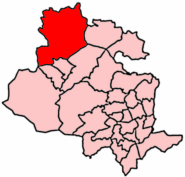
Craven (Bradford ward)

Craven is an electoral ward within the City of Bradford Metropolitan District Council, West Yorkshire, England. The population of the ward at the 2011...

Silsden

Silsden is a town and civil parish in the City of Bradford in West Yorkshire, England, on the River Aire and Leeds and Liverpool Canal between Keighley...

Silsden Town Hall

Silsden Town Hall is a municipal building in Kirkgate, Silsden, West Yorkshire, England. The town hall is the meeting place of Silsden Town Council....

Silsden A.F.C.

Silsden A.F.C. is a football club based in Silsden, West Yorkshire, England, and is currently a member of the Northern Counties East League Premier Division...

Nearby Amenities

Located within 500m of 53.916031,-1.916868
Swartha
Is In: UK,England,Yorkshire,West Yorkshire,Airedale
Place: hamlet
Lat/Long: 53.9170059/-1.9232659
Barrier: cattle_grid
Lat/Long: 53.9146021/-1.9129693
Fixme: exact location relative to footpath needs confirming
Source: OS sheet 185, publ. 1848
Waterway: waterfall
Lat/Long: 53.915333/-1.9176876
Barrier: stile
Material: stone
Stile: squeezer
Lat/Long: 53.9177768/-1.9236484
Barrier: stile
Stile: stepover
Lat/Long: 53.9169486/-1.9208843
Barrier: stile
Material: stone
Stile: squeezer
Lat/Long: 53.9178546/-1.9166976
Barrier: stile
Lat/Long: 53.9166909/-1.9130476
Barrier: stile
Stile: hipster
Lat/Long: 53.9146994/-1.9183302
Barrier: stile
Stile: hipster
Lat/Long: 53.9169927/-1.9216123
Barrier: stile
Stile: hipster
Lat/Long: 53.9164556/-1.9221421
Barrier: kissing_gate
Lat/Long: 53.9180641/-1.9215889
Haw
Ele Ft: 650
Man Made: survey_point
Natural: peak
Source: OS sheet 185, publ. 1848
Lat/Long: 53.9178436/-1.9222326
Power: pole
Lat/Long: 53.9121108/-1.9201106
Power: pole
Lat/Long: 53.912745/-1.9194534
Power: pole
Lat/Long: 53.9132512/-1.9189431
Power: pole
Lat/Long: 53.911946/-1.9199047
Power: pole
Lat/Long: 53.9123669/-1.9193111
Power: pole
Lat/Long: 53.9128699/-1.9186127
Power: pole
Lat/Long: 53.9134126/-1.9178446
Power: pole
Lat/Long: 53.9138255/-1.9168266
Power: pole
Lat/Long: 53.9119555/-1.9192654
Power: pole
Lat/Long: 53.9124475/-1.9199208
Power: pole
Lat/Long: 53.9151055/-1.9170495
Power: pole
Lat/Long: 53.9157161/-1.9164451
Power: pole
Lat/Long: 53.91639/-1.9158086
Power: pole
Lat/Long: 53.9170022/-1.9152445
Power: pole
Lat/Long: 53.9176302/-1.9146858
Power: pole
Lat/Long: 53.9182756/-1.9140922
Power: pole
Lat/Long: 53.9188403/-1.9135631
Power: pole
Lat/Long: 53.9194731/-1.9129883
Power: pole
Lat/Long: 53.9144825/-1.917668
Power: pole
Lat/Long: 53.9139015/-1.9182884
Power: pole
Lat/Long: 53.9161037/-1.9104361
Power: pole
Lat/Long: 53.9183615/-1.9115433
Power: pole
Lat/Long: 53.9177249/-1.9121173
Power: pole
Lat/Long: 53.9170693/-1.9126645
Power: pole
Lat/Long: 53.9164264/-1.9132116
Power: pole
Lat/Long: 53.9157376/-1.9138098
Power: pole
Lat/Long: 53.9152289/-1.9142604
Power: pole
Lat/Long: 53.9146397/-1.9147593
Power: pole
Lat/Long: 53.9142447/-1.9157812
The data included in this document is from www.openstreetmap.org. The data is made available under ODbL.

Have you been to Swartha Wood?

Leave your review of Swartha Wood below (or comments, questions and feedback).