Maldry Wood
Wood, Forest in Dorset
England
Maldry Wood
Maldry Wood is a picturesque forest located in the county of Dorset, England. Spanning over an area of approximately 100 acres, this enchanting woodland is a haven for nature enthusiasts and those seeking tranquility amidst the beauty of the outdoors.
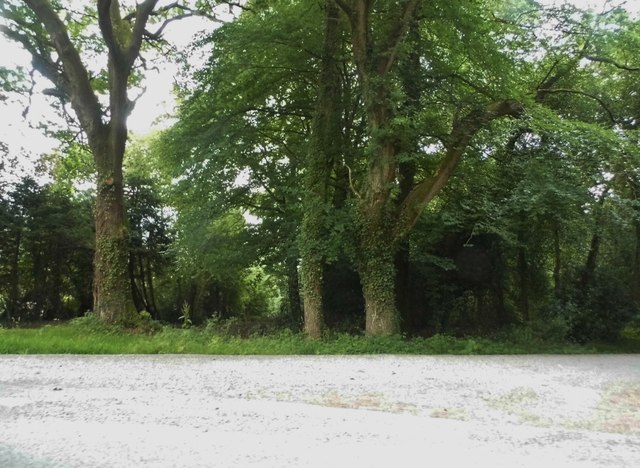
The wood is characterized by its dense canopy of towering trees, primarily consisting of oak, beech, and birch. The tall, majestic trunks create a sense of grandeur, while their intertwined branches form a natural roof that filters sunlight, casting dappled shadows on the forest floor. The woodland is also adorned with an assortment of wildflowers, ferns, and mosses, adding vibrant splashes of color to the landscape.
A network of well-maintained walking trails meanders through the forest, offering visitors the opportunity to explore its hidden treasures. These paths wind their way through the wood, taking visitors past babbling brooks, small ponds, and serene clearings. The wildlife is abundant in Maldry Wood, with sightings of deer, squirrels, rabbits, and a variety of bird species being common.
As a designated Site of Special Scientific Interest, Maldry Wood is not only a recreational destination but also an important ecological site. The wood provides a sanctuary for a diverse range of flora and fauna, and its untouched environment offers researchers and nature lovers a unique opportunity to study and appreciate the natural world.
In conclusion, Maldry Wood in Dorset is a captivating forest that showcases the beauty of nature in all its glory. With its ancient trees, vibrant flora, and abundant wildlife, it serves as a tranquil retreat for visitors seeking solace in the peacefulness of the outdoors.
If you have any feedback on the listing, please let us know in the comments section below.
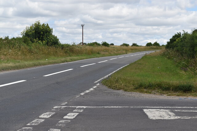
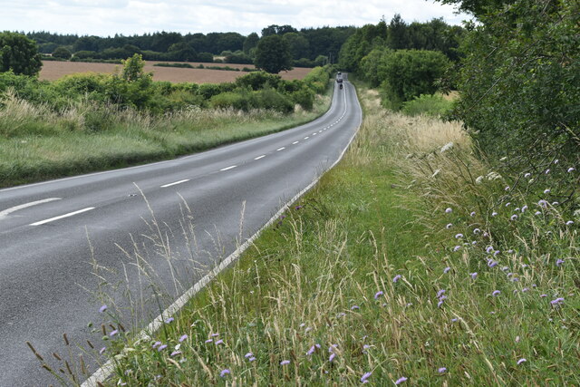
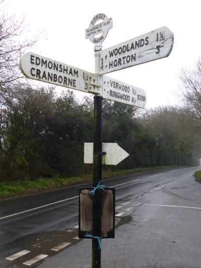
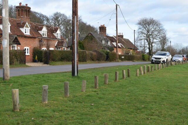
Maldry Wood Images
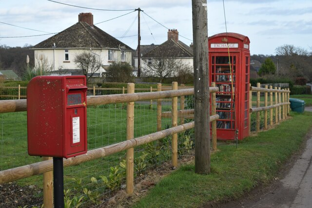
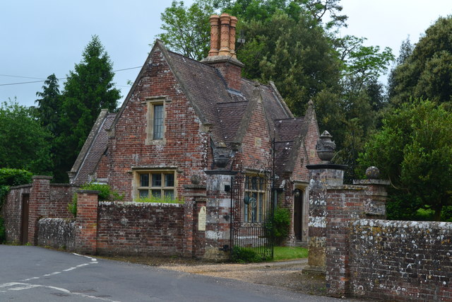
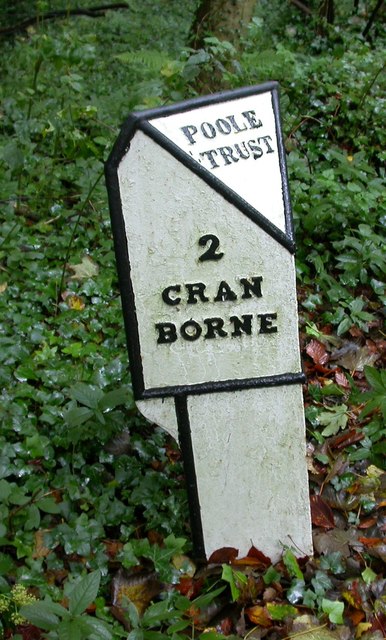
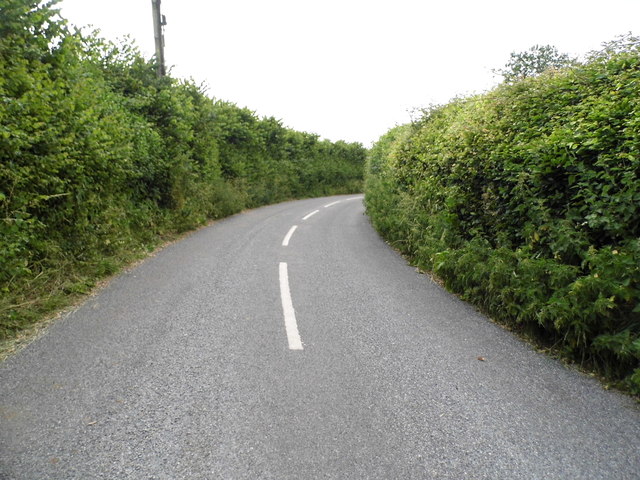
Images are sourced within 2km of 50.896869/-1.9222261 or Grid Reference SU0510. Thanks to Geograph Open Source API. All images are credited.


Maldry Wood is located at Grid Ref: SU0510 (Lat: 50.896869, Lng: -1.9222261)
Unitary Authority: Dorset
Police Authority: Dorset
What 3 Words
///shorten.described.openings. Near Verwood, Dorset
Nearby Locations
Related Wikis

Edmondsham
Edmondsham is a village in the county of Dorset in southern England. It is situated two miles north west of Verwood and ten miles north of Bournemouth...

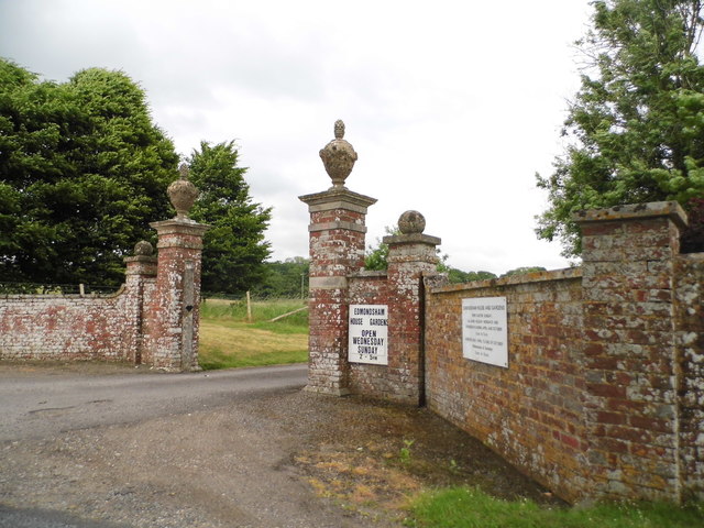
Edmondsham House
Edmondsham House is a Tudor home with Georgian additions in Edmondsham near Wimborne Minster in Dorset, England. It is a Grade II* listed building. �...

Woodlands, Dorset
Woodlands is a village and civil parish in the East Dorset district of Dorset, South-West England. It is five miles (8 km) north of Wimborne Minster. The...

Monkton Up Wimborne Hundred
Monkton Up Wimborne Hundred or Up Wimborne Hundred was a hundred in the county of Dorset, England, containing the following parishes: Chettle Cranborne...
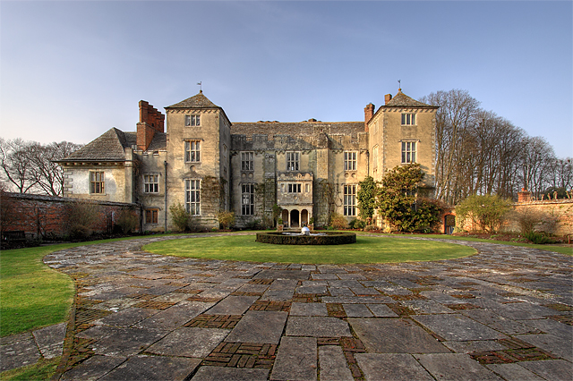
Cranborne Manor
Cranborne Manor is a Grade I listed country house in Cranborne, Dorset, in southern England. The manor dates back to around 1207/8, and was originally...
Cranborne
Cranborne is a village in East Dorset, England. At the 2011 census, the parish had a population of 779, remaining unchanged from 2001. The appropriate...

St Giles House, Wimborne St Giles
St Giles House is located at Wimborne St Giles in East Dorset in England, just south of Cranborne Chase. It is the ancestral seat of the Ashley-Cooper...
Cranborne Hundred
Cranborne Hundred was a hundred in the county of Dorset, England, containing the following parishes: Ashmore Belchalwell (divided between Okeford Fitzpaine...
Nearby Amenities
Located within 500m of 50.896869,-1.9222261Have you been to Maldry Wood?
Leave your review of Maldry Wood below (or comments, questions and feedback).