High Brunthwaite
Settlement in Yorkshire
England
High Brunthwaite
High Brunthwaite is a small rural village located in the county of Yorkshire, England. It is situated in the picturesque Yorkshire Dales, surrounded by rolling hills, lush green meadows, and charming countryside. The village is part of the Richmondshire district, near the market town of Richmond.
Despite its small size, High Brunthwaite offers a tranquil and idyllic setting for its residents. The village is characterized by its traditional stone-built houses, which add to its charm and rural appeal. The local community is tight-knit and friendly, fostering a warm and welcoming atmosphere.
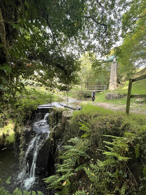
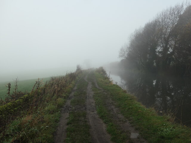
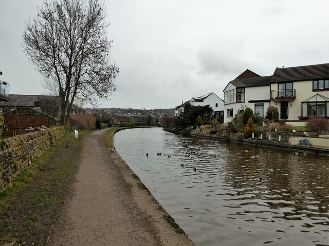
High Brunthwaite is perfect for those seeking a peaceful and nature-filled lifestyle. The surrounding landscape provides ample opportunities for outdoor activities such as hiking, cycling, and exploring the nearby Yorkshire Dales National Park. The village is also known for its scenic walks and stunning views, offering a haven for nature enthusiasts.
Although High Brunthwaite is predominantly residential, it is within close proximity to essential amenities. The nearby town of Richmond, just a short drive away, provides residents with a range of shops, supermarkets, schools, and healthcare facilities. Additionally, the village benefits from good transportation links, with easy access to major roads and public transportation.
Overall, High Brunthwaite offers a serene and picturesque setting, making it an ideal place for those seeking a peaceful rural lifestyle amidst the natural beauty of the Yorkshire Dales.
If you have any feedback on the listing, please let us know in the comments section below.
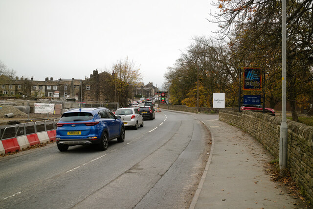
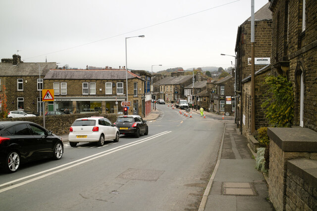
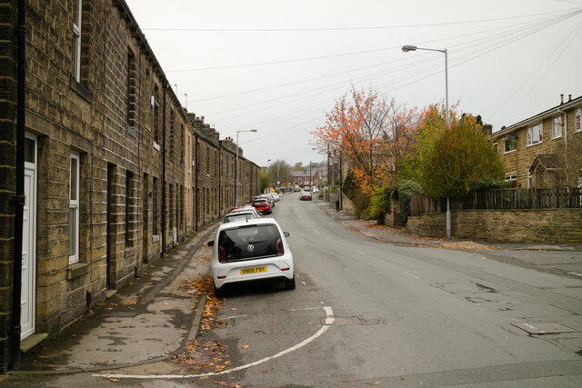
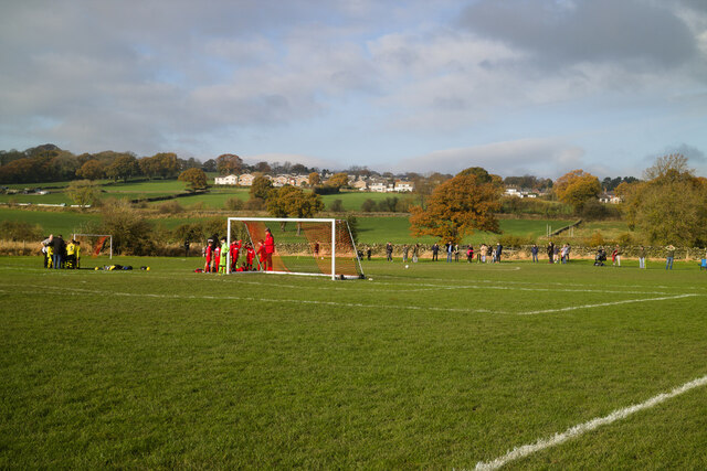
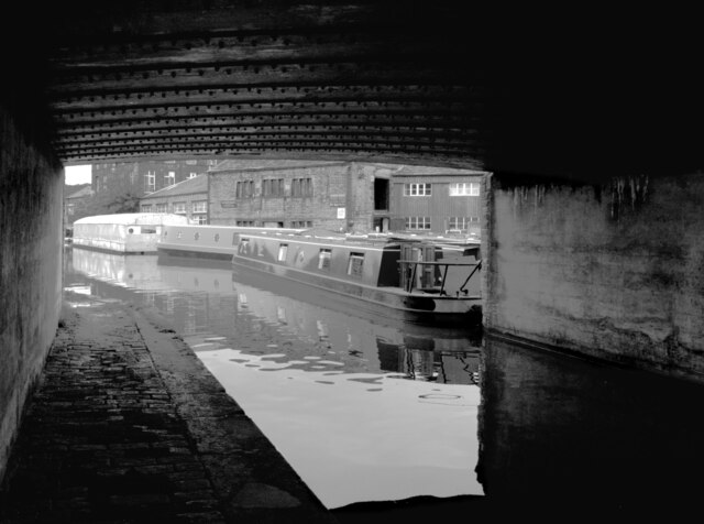
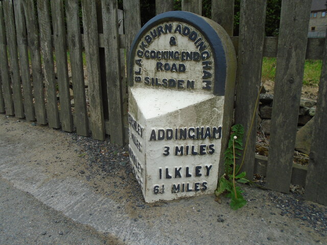
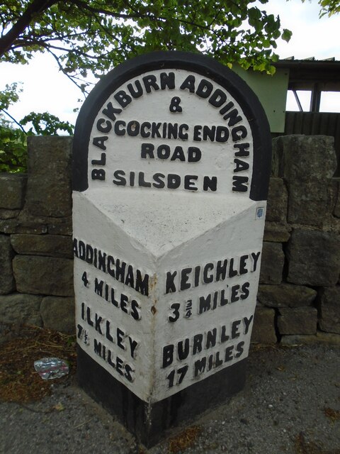
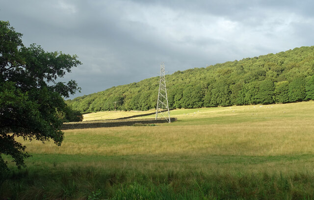
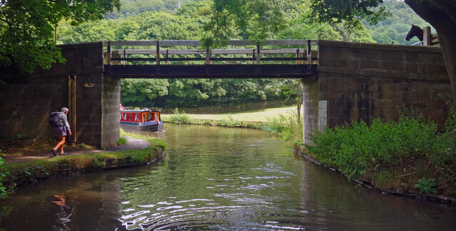
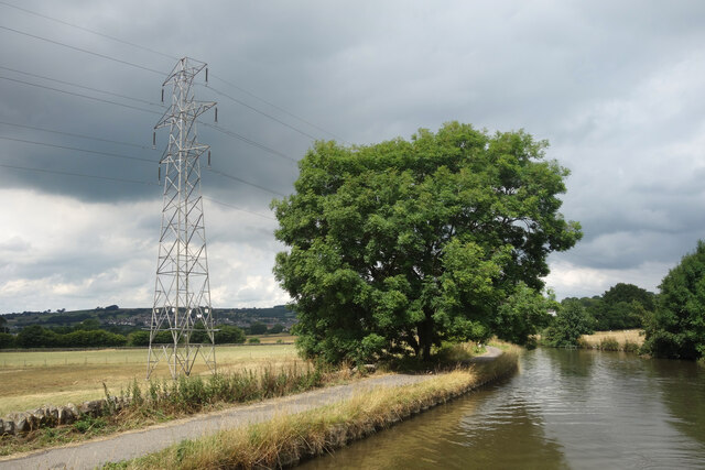
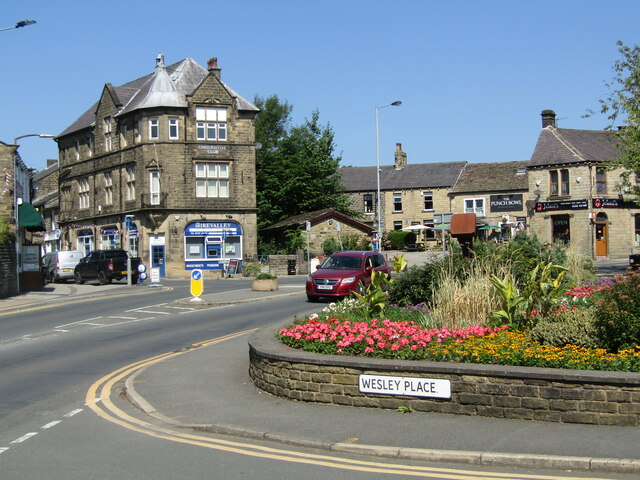
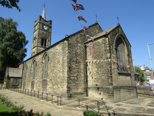
High Brunthwaite Images
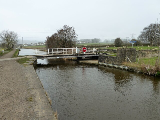
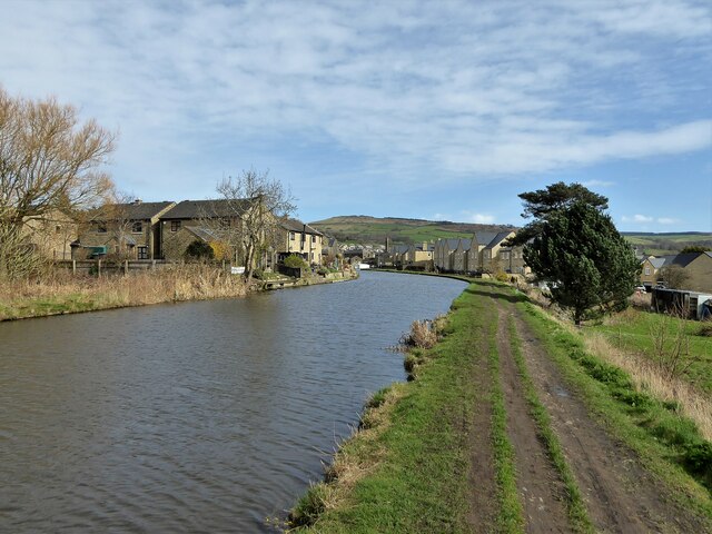
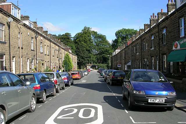
Images are sourced within 2km of 53.911287/-1.9192826 or Grid Reference SE0546. Thanks to Geograph Open Source API. All images are credited.
High Brunthwaite is located at Grid Ref: SE0546 (Lat: 53.911287, Lng: -1.9192826)
Division: West Riding
Unitary Authority: Bradford
Police Authority: West Yorkshire
What 3 Words
///advice.vase.player. Near Silsden, West Yorkshire
Nearby Locations
Related Wikis

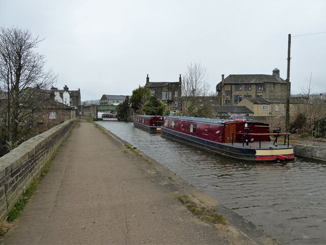
Silsden
Silsden is a town and civil parish in the City of Bradford in West Yorkshire, England, on the River Aire and Leeds and Liverpool Canal between Keighley...

Silsden Town Hall
Silsden Town Hall is a municipal building in Kirkgate, Silsden, West Yorkshire, England. The town hall is the meeting place of Silsden Town Council....
Craven (Bradford ward)
Craven is an electoral ward within the City of Bradford Metropolitan District Council, West Yorkshire, England. The population of the ward at the 2011...

Silsden A.F.C.
Silsden A.F.C. is a football club based in Silsden, West Yorkshire, England, and is currently a member of the Northern Counties East League Premier Division...

Steeton and Silsden railway station
Steeton and Silsden railway station serves the village of Steeton and the town of Silsden in West Yorkshire, England. It is situated closer to Steeton...

Steeton A.F.C.
Steeton Association Football Club is an English football club based in Steeton, West Yorkshire. They are currently members of the North West Counties League...

Steeton with Eastburn
Steeton with Eastburn is a civil parish within the City of Bradford Metropolitan District, West Yorkshire, England. Historically part of the West Riding...
Steeton, West Yorkshire
Steeton is a village in the City of Bradford metropolitan borough, West Yorkshire, England. Historically part of the West Riding of Yorkshire, it is situated...
Nearby Amenities
Located within 500m of 53.911287,-1.9192826Have you been to High Brunthwaite?
Leave your review of High Brunthwaite below (or comments, questions and feedback).