High Carnegie

Settlement in Renfrewshire

Scotland

High Carnegie

Castle Hill The edge of Port Glasgow.
Castle Hill Credit: Richard Webb

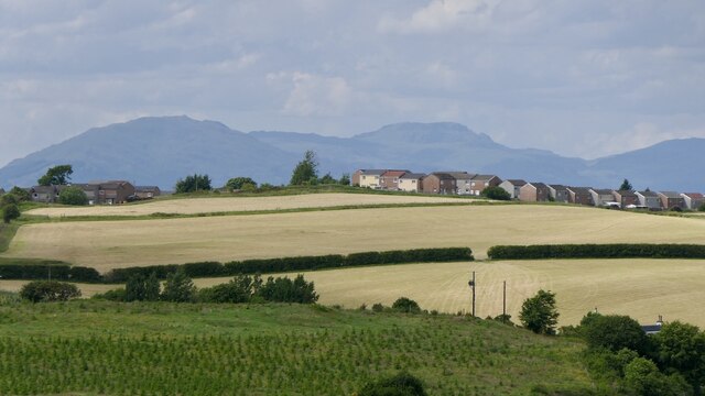
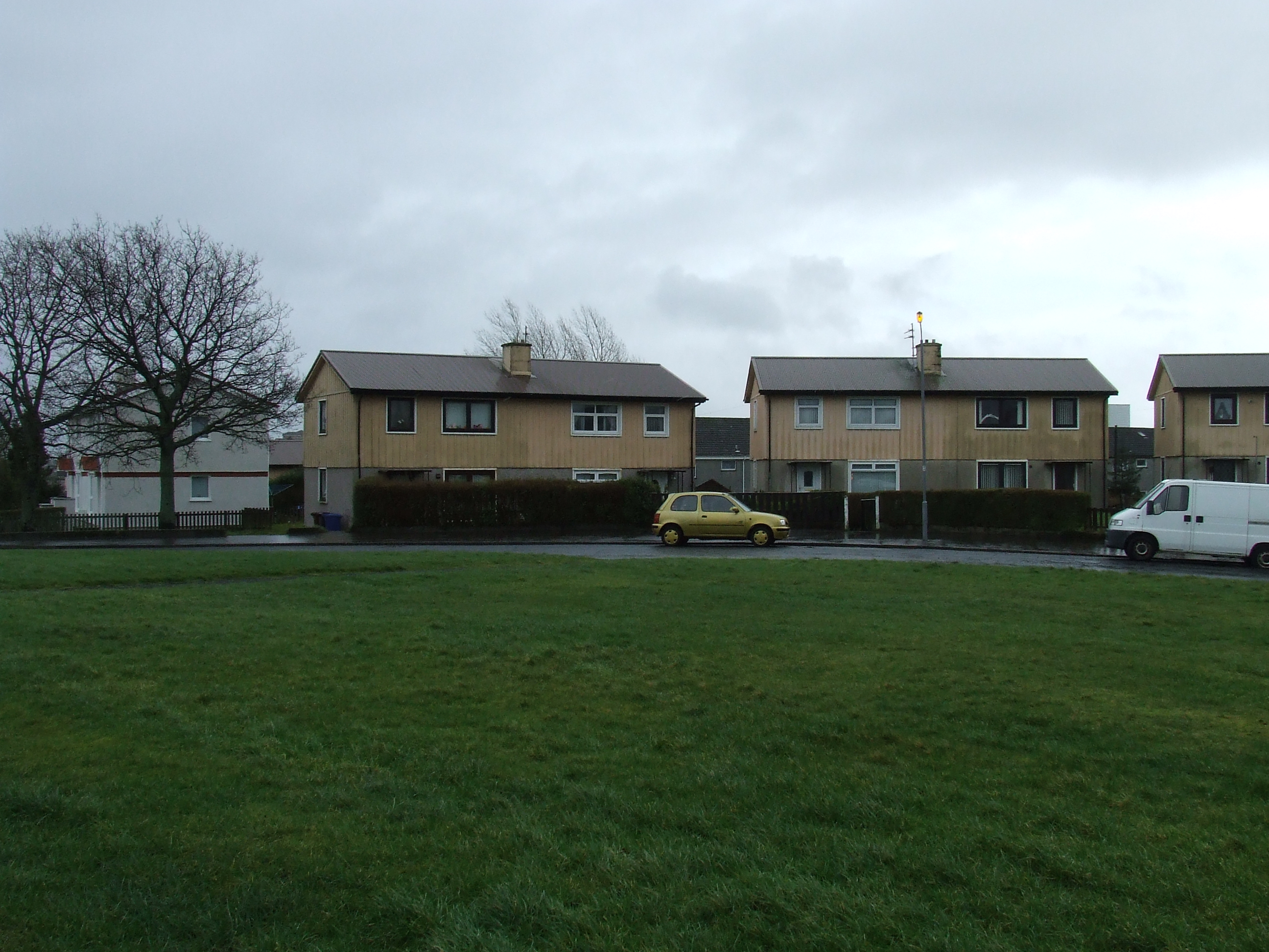
High Carnegie is a small residential village located in Renfrewshire, Scotland. Situated approximately 4 miles west of Paisley and 10 miles west of Glasgow, it offers a peaceful and picturesque setting for its residents. The village is nestled amidst lush green fields and rolling hills, providing a serene atmosphere and stunning views of the surrounding countryside.

High Carnegie is known for its close-knit community and friendly residents. The village offers a range of amenities, including a local convenience store, post office, and a primary school, making it an ideal place for families. Additionally, there are several parks and open spaces nearby, allowing residents to enjoy outdoor activities and leisurely walks.

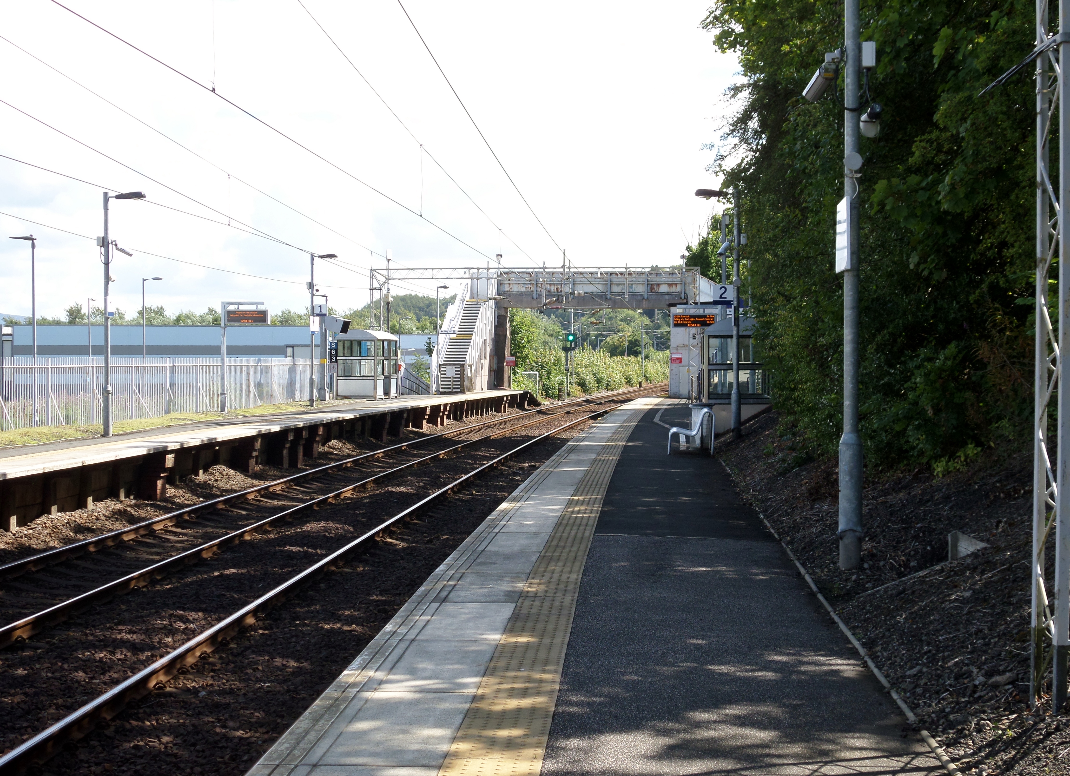
Transportation in High Carnegie is convenient, with regular bus services connecting the village to neighboring towns and cities. The nearby M8 motorway provides easy access to Glasgow and Edinburgh, making it a desirable location for commuters.

The village is also rich in history, with several historical landmarks and buildings dotted throughout. Notable attractions include the Carnegie Birthplace Museum, which celebrates the life and legacy of philanthropist Andrew Carnegie, who was born in Dunfermline but had ancestral ties to the area.

Overall, High Carnegie offers a tranquil and family-friendly environment, with its idyllic setting, community spirit, and convenient amenities making it a desirable place to live.

If you have any feedback on the listing, please let us know in the comments section below.

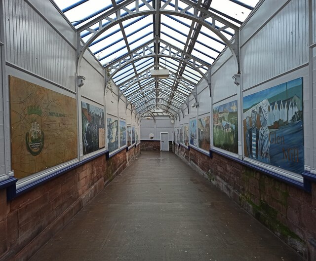
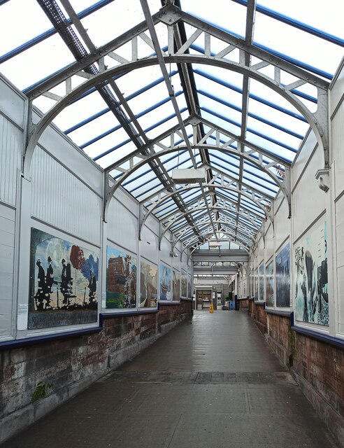
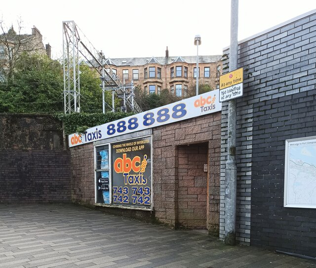
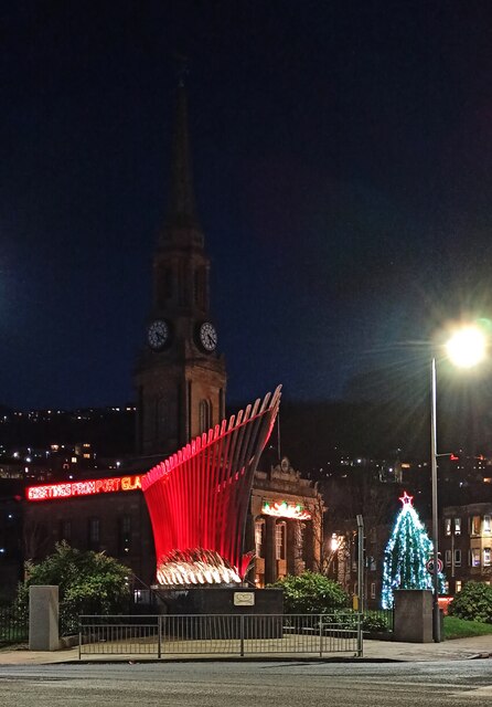
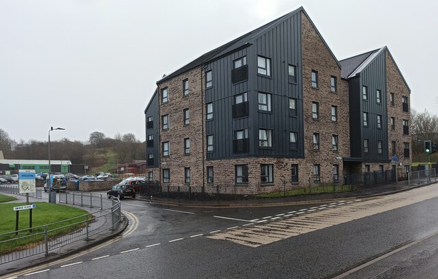
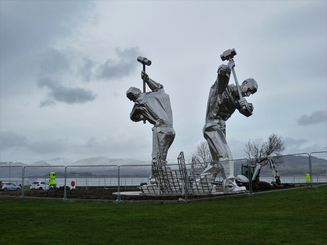
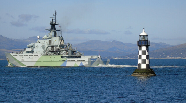
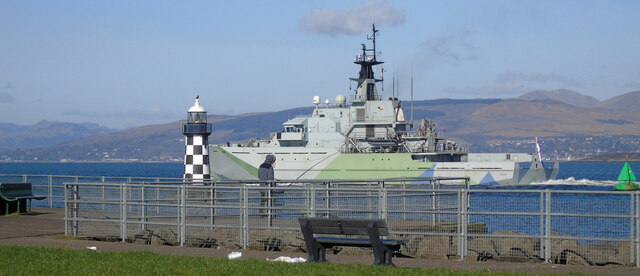
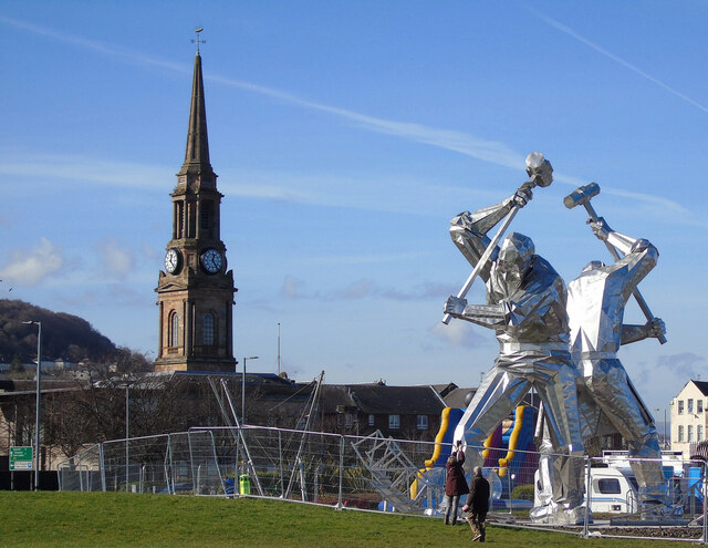
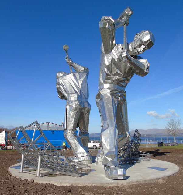
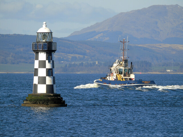
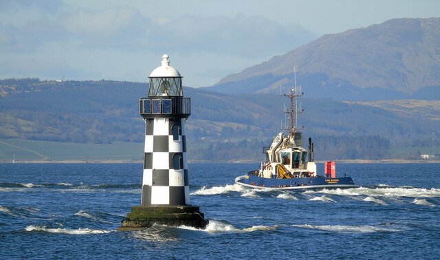
High Carnegie Images

Images are sourced within 2km of 55.928014/-4.6612024 or Grid Reference NS3373. Thanks to Geograph Open Source API. All images are credited.

Castle Hill The edge of Port Glasgow.
Castle Hill
The edge of Port Glasgow.
The Caledonian  Bar On Princes Street, near Port Glasgow  railway station. Note the defibrillator on the Wall <a href="https://www.geograph.org.uk/photo/7029125">NS3274 : Defibrillator at the Caledonian  Bar</a>.
The Caledonian Bar
On Princes Street, near Port Glasgow railway station. Note the defibrillator on the Wall NS3274 : Defibrillator at the Caledonian Bar.
Defibrillator at the Caledonian  Bar Installed  in memory of Bridie Carroll, late mother of the bar owner David Carroll.

See the bar here <a href="https://www.geograph.org.uk/photo/7029110">NS3274 : The Caledonian  Bar</a>.
Defibrillator at the Caledonian Bar
Installed in memory of Bridie Carroll, late mother of the bar owner David Carroll. See the bar here NS3274 : The Caledonian Bar.
Scotrail Class 320 train at Port Glasgow Class 320 numbered 320 417 with a Glasgow bound service from Gourock on a misty December afternoon.
Scotrail Class 320 train at Port Glasgow
Class 320 numbered 320 417 with a Glasgow bound service from Gourock on a misty December afternoon.
Port Glasgow railway station  The corridor from Princes Street to the main concourse is adorned with artwork which depicts historical local scenes.
Port Glasgow railway station
The corridor from Princes Street to the main concourse is adorned with artwork which depicts historical local scenes.
Port Glasgow railway station  The corridor from Princes Street to the main concourse is adorned with artwork which depicts local historic scenes.
Port Glasgow railway station
The corridor from Princes Street to the main concourse is adorned with artwork which depicts local historic scenes.
Taxi office on Princes Street  The ABC Taxis office at the main entrance to Port Glasgow railway station. The building was formerly home to Flower Vogue florists and later Station Taxis.
Taxi office on Princes Street
The ABC Taxis office at the main entrance to Port Glasgow railway station. The building was formerly home to Flower Vogue florists and later Station Taxis.
Port Glasgow Christmas lights Lights and a Christmas tree at the historic Town Buildings and on the nautical sculpture 'Endeavour', which has colour changing lights all year round.
Port Glasgow Christmas lights
Lights and a Christmas tree at the historic Town Buildings and on the nautical sculpture 'Endeavour', which has colour changing lights all year round.
New flats on Dubbs Place On the site of the former Boglestone Clinic <a href="https://www.geograph.org.uk/photo/2836249">NS3373 : Boglestone Clinic</a>.
New flats on Dubbs Place
On the site of the former Boglestone Clinic NS3373 : Boglestone Clinic.
Statue of shipyard workers at Coronation Park Been nicknamed as the Skelpies
Statue of shipyard workers at Coronation Park
Been nicknamed as the Skelpies
HMS Severn passing Port Glasgow HMS Severn (P282) is a River Class offshore patrol vessel, seen here passing the  Perch lighthouse in retro WWII ‘Western Approaches’ livery, which was applied to U-boat killers through much of World War 2. She is the first Royal Navy ship to have been painted in this livery since WWII, as a tribute to sailors of the Battle of the Atlantic who operated in the same waters in which HMS Severn regularly operates.

See also <a href="https://www.geograph.org.uk/photo/7112454">NS3274 : HMS Severn passing Port Glasgow</a>

Royal Navy HMS Severn web page: <span class="nowrap"><a title="https://www.royalnavy.mod.uk/our-organisation/the-fighting-arms/surface-fleet/patrol/river-class/hms-severn" rel="nofollow ugc noopener" href="https://www.royalnavy.mod.uk/our-organisation/the-fighting-arms/surface-fleet/patrol/river-class/hms-severn">Link</a><img style="margin-left:2px;" alt="External link" title="External link - shift click to open in new window" src="https://s1.geograph.org.uk/img/external.png" width="10" height="10"/></span> .
HMS Severn passing Port Glasgow
HMS Severn (P282) is a River Class offshore patrol vessel, seen here passing the Perch lighthouse in retro WWII ‘Western Approaches’ livery, which was applied to U-boat killers through much of World War 2. She is the first Royal Navy ship to have been painted in this livery since WWII, as a tribute to sailors of the Battle of the Atlantic who operated in the same waters in which HMS Severn regularly operates. See also NS3274 : HMS Severn passing Port Glasgow Royal Navy HMS Severn web page: LinkExternal link .
HMS Severn passing Port Glasgow HMS Severn (P282) is a River Class offshore patrol vessel, seen here passing the  Perch lighthouse in retro WWII ‘Western Approaches’ livery, which was applied to U-boat killers through much of World War 2. She is the first Royal navy ship to have been painted in this livery since WWII, as a tribute to sailors of the Battle of the Atlantic who operated in the same waters in which HMS Severn regularly operates.

See also <a href="https://www.geograph.org.uk/photo/7112440">NS3274 : HMS Severn passing Port Glasgow</a>.

Royal navy HMS Severn web page: <span class="nowrap"><a title="https://www.royalnavy.mod.uk/our-organisation/the-fighting-arms/surface-fleet/patrol/river-class/hms-severn" rel="nofollow ugc noopener" href="https://www.royalnavy.mod.uk/our-organisation/the-fighting-arms/surface-fleet/patrol/river-class/hms-severn">Link</a><img style="margin-left:2px;" alt="External link" title="External link - shift click to open in new window" src="https://s1.geograph.org.uk/img/external.png" width="10" height="10"/></span> .
HMS Severn passing Port Glasgow
HMS Severn (P282) is a River Class offshore patrol vessel, seen here passing the Perch lighthouse in retro WWII ‘Western Approaches’ livery, which was applied to U-boat killers through much of World War 2. She is the first Royal navy ship to have been painted in this livery since WWII, as a tribute to sailors of the Battle of the Atlantic who operated in the same waters in which HMS Severn regularly operates. See also NS3274 : HMS Severn passing Port Glasgow. Royal navy HMS Severn web page: LinkExternal link .
Shipbuilders of Port Glasgow sculpture This new 10 metre high sculpture is complete, but landscaping and lighting are still being worked on.

David Hamilton's Town Buildings of 1815 ( Category A Listed <span class="nowrap"><a title="http://portal.historicenvironment.scot/designation/LB40071" rel="nofollow ugc noopener" href="http://portal.historicenvironment.scot/designation/LB40071">Link</a><img style="margin-left:2px;" alt="External link" title="External link - shift click to open in new window" src="https://s1.geograph.org.uk/img/external.png" width="10" height="10"/></span> ) stand on the left, across the A8 dual carriageway.
Shipbuilders of Port Glasgow sculpture
This new 10 metre high sculpture is complete, but landscaping and lighting are still being worked on. David Hamilton's Town Buildings of 1815 ( Category A Listed LinkExternal link ) stand on the left, across the A8 dual carriageway.
Shipbuilders of Port Glasgow sculpture This new 10 metre high sculpture is complete, but landscaping and lighting are still being worked on.
Shipbuilders of Port Glasgow sculpture
This new 10 metre high sculpture is complete, but landscaping and lighting are still being worked on.
Shipbuilders of Port Glasgow sculpture Part of the new 10 metre high sculpture.
Shipbuilders of Port Glasgow sculpture
Part of the new 10 metre high sculpture.
Shipbuilders of Port Glasgow sculpture Part of the new 10 metre high sculpture.
Shipbuilders of Port Glasgow sculpture
Part of the new 10 metre high sculpture.
Tug CMS Wrestler passing Port Glasgow CMS Wrestler passing the Category B Listed <span class="nowrap"><a title="http://portal.historicenvironment.scot/designation/LB40086" rel="nofollow ugc noopener" href="http://portal.historicenvironment.scot/designation/LB40086">Link</a><img style="margin-left:2px;" alt="External link" title="External link - shift click to open in new window" src="https://s1.geograph.org.uk/img/external.png" width="10" height="10"/></span> Perch lighthouse, with the Rosneath peninsula in the distance.
Tug CMS Wrestler passing Port Glasgow
CMS Wrestler passing the Category B Listed LinkExternal link Perch lighthouse, with the Rosneath peninsula in the distance.
Tug CMS Boxer passing Port Glasgow CMS boxer, in the wake of CMS Wrestler, passing the Category B Listed <span class="nowrap"><a title="http://portal.historicenvironment.scot/designation/LB40086" rel="nofollow ugc noopener" href="http://portal.historicenvironment.scot/designation/LB40086">Link</a><img style="margin-left:2px;" alt="External link" title="External link - shift click to open in new window" src="https://s1.geograph.org.uk/img/external.png" width="10" height="10"/></span> Perch lighthouse, with the Rosneath peninsula in the distance.
Tug CMS Boxer passing Port Glasgow
CMS boxer, in the wake of CMS Wrestler, passing the Category B Listed LinkExternal link Perch lighthouse, with the Rosneath peninsula in the distance.
Show me another place!

High Carnegie is located at Grid Ref: NS3373 (Lat: 55.928014, Lng: -4.6612024)

Unitary Authority: Inverclyde

Police Authority: Renfrewshire and Inverclyde

What 3 Words

///worms.sunset.self. Near Port Glasgow, Inverclyde

Related Wikis

Nearby Amenities

Located within 500m of 55.928014,-4.6612024
Woodhall
Naptan AtcoCode: 9100WHHL
Network: National Rail
Network Website: https://www.nationalrail.co.uk/stations/wdl/
Network Wikidata: Q26334
Operator: ScotRail
Operator Website: https://www.scotrail.co.uk/plan-your-journey/stations-and-facilities/wdl
Operator Wikidata: Q18356161
Public Transport: station
Railway: station
Ref Crs: WDL
Wikidata: Q2308844
Wikipedia: en:Woodhall railway station
Lat/Long: 55.9312843/-4.6557539
Source: www.npemap.org.uk
Uk Postcode Centroid: PA14
Lat/Long: 55.928682/-4.660649
Woodhall
Naptan AtcoCode: 9100WHHL
Public Transport: stop_position
Lat/Long: 55.9314783/-4.6570594
Turning Loop
Lat/Long: 55.9273916/-4.6636173
Boglestone
Place: suburb
Wikidata: Q4937661
Wikipedia: en:Boglestone
Lat/Long: 55.9275789/-4.6687003
Woodhall
Place: suburb
Wikidata: Q8032690
Wikipedia: en:Woodhall, Port Glasgow
Lat/Long: 55.9293461/-4.6536585
Woodhall
Public Transport: stop_position
Lat/Long: 55.9315096/-4.6570173
Bus Stop
Glasgow Road (at 57)
Bus: yes
Public Transport: platform
Lat/Long: 55.9315999/-4.6640351
Bus Stop
Glasgow Road (opp 57)
Bus: yes
Public Transport: platform
Lat/Long: 55.931511/-4.664183
Bus Stop
Fyfe Shore Road
Bus: yes
Public Transport: platform
Lat/Long: 55.9316578/-4.6602203
Bus Stop
Kelburn Bridge
Bus: yes
Public Transport: platform
Lat/Long: 55.9315722/-4.660227
Bus Stop
High Carnegie Road
Bus: yes
Public Transport: platform
Lat/Long: 55.9297946/-4.6674286
Bus Stop
Boglestone Roundabout
Bus: yes
Public Transport: platform
Lat/Long: 55.9271184/-4.6631944
Bus Stop
Boglestone Roundabout
Bus: yes
Public Transport: platform
Lat/Long: 55.9272368/-4.6634424
Bus Stop
Mallaig Road
Bus: yes
Public Transport: platform
Lat/Long: 55.9238156/-4.6640278
The data included in this document is from www.openstreetmap.org. The data is made available under ODbL.

Have you been to High Carnegie?

Leave your review of High Carnegie below (or comments, questions and feedback).