Bardrainney
Settlement in Renfrewshire
Scotland
Bardrainney
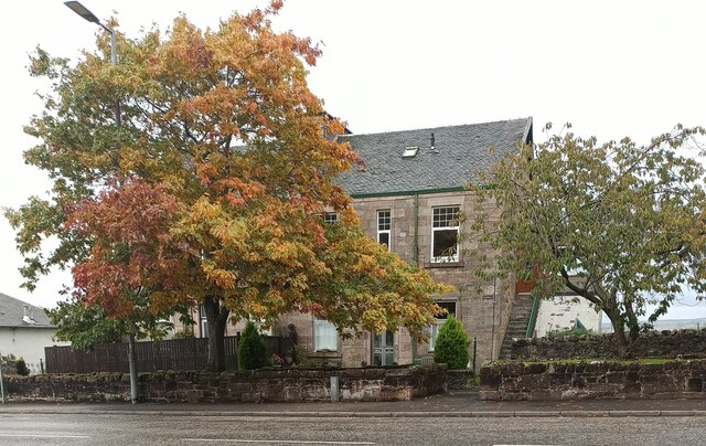
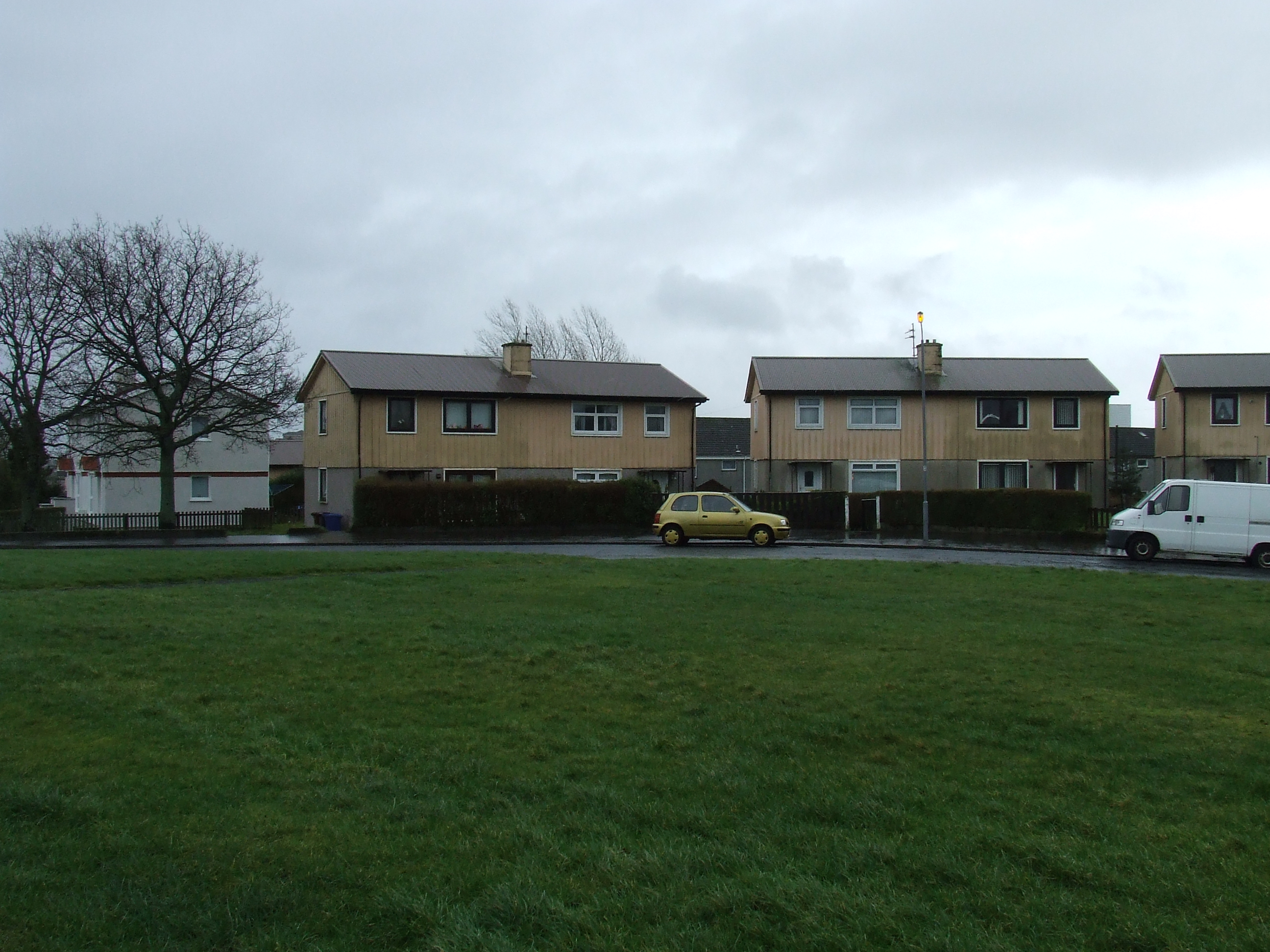
Bardrainney is a small rural village located in the county of Renfrewshire, Scotland. Situated approximately 12 miles west of Glasgow, it is nestled amidst the scenic countryside and offers a peaceful and serene atmosphere.
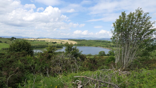
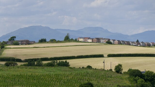
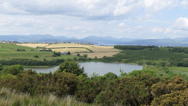
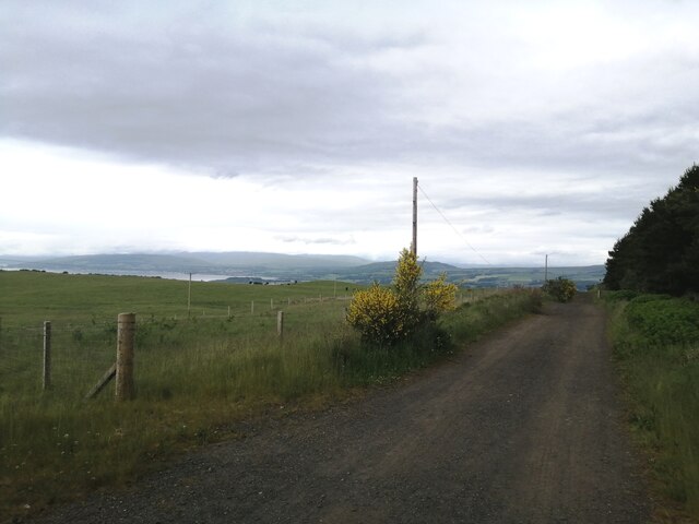
The village is known for its picturesque landscapes, with rolling hills and lush green fields surrounding the area. It is a popular destination for nature lovers, hikers, and outdoor enthusiasts who enjoy exploring the countryside trails and taking in the breathtaking views.
Despite its rural setting, Bardrainney is well-connected to nearby towns and cities. The village is easily accessible via the A726 road, which provides convenient links to Glasgow and other surrounding areas. Additionally, the nearest train station, Johnstone, is only a short drive away, offering regular services to Glasgow and other major cities.
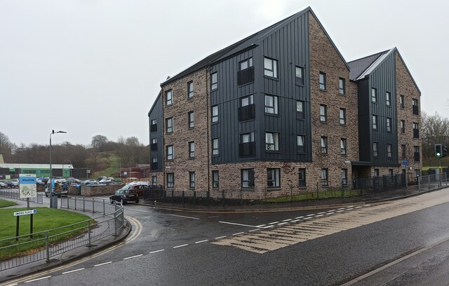
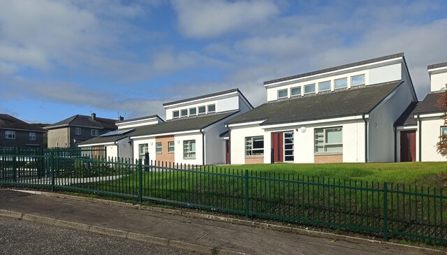
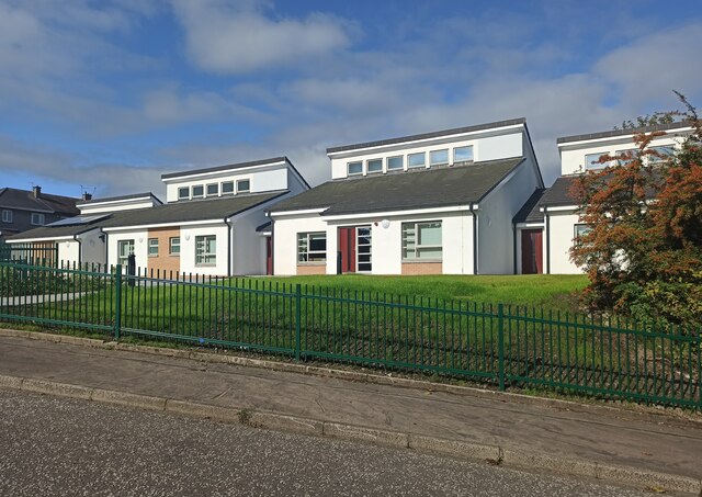
Bardrainney is a close-knit community, with a small population that enjoys a strong sense of community spirit. The village has a few local amenities, including a primary school, a community center, and a village hall, which hosts various events and activities throughout the year.
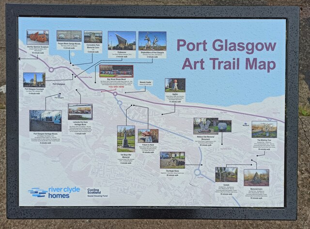
Nearby attractions include the historic town of Paisley, known for its stunning architecture and rich history, as well as the Clyde Muirshiel Regional Park, which offers a wide range of outdoor activities such as sailing, fishing, and bird watching.
In summary, Bardrainney is a charming village in Renfrewshire, offering a tranquil countryside setting with easy access to nearby towns and cities. With its natural beauty and strong community spirit, it is an ideal place for those seeking a peaceful and close-knit community.
If you have any feedback on the listing, please let us know in the comments section below.
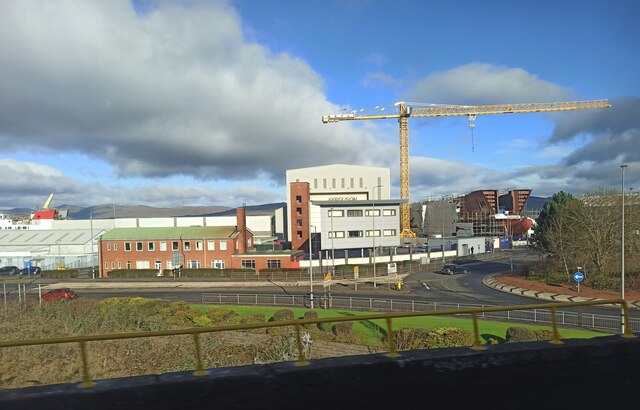
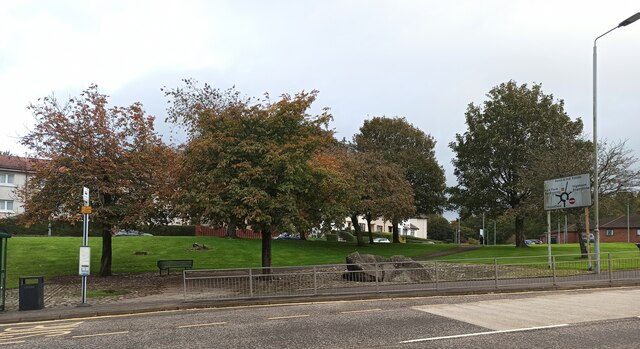
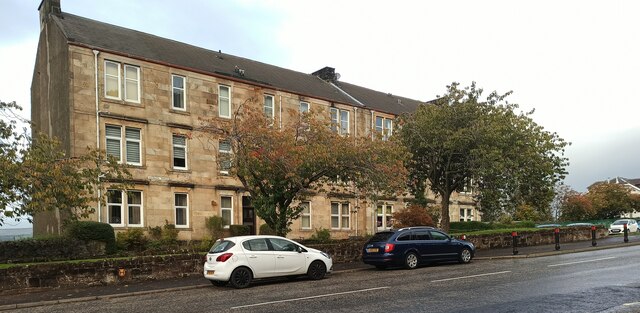
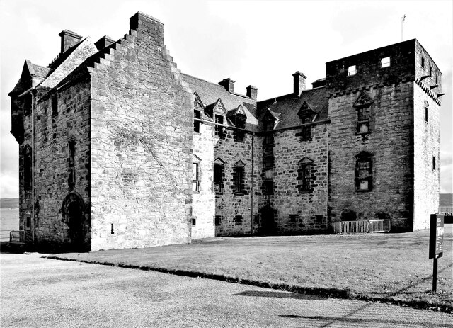
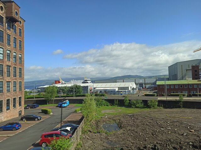
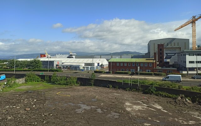
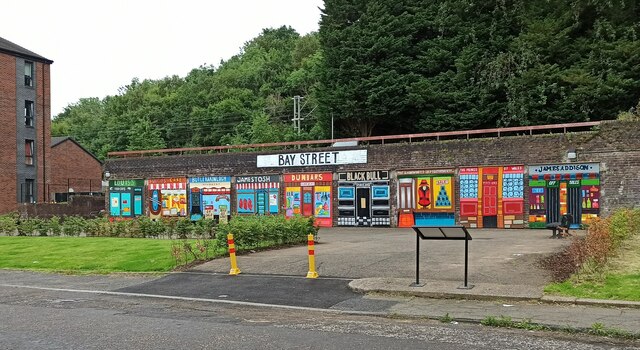
Bardrainney Images
Images are sourced within 2km of 55.922985/-4.65951 or Grid Reference NS3373. Thanks to Geograph Open Source API. All images are credited.
Bardrainney is located at Grid Ref: NS3373 (Lat: 55.922985, Lng: -4.65951)
Unitary Authority: Inverclyde
Police Authority: Renfrewshire and Inverclyde
What 3 Words
///flickers.averages.raced. Near Port Glasgow, Inverclyde
Nearby Locations
Related Wikis

Port Glasgow Upper railway station
Port Glasgow Upper was a railway station serving Port Glasgow, Renfrewshire, Scotland, originally as part of the Greenock and Ayrshire Railway. == History... ==
Bardrainney
Bardrainney is a neighbourhood of Port Glasgow, in the Inverclyde district of Scotland. Bardrainney, possibly from the Gaelic for "hill of thorns", is...

Mid Auchinleck
Mid Auchinleck is an area in the town of Port Glasgow, Inverclyde, Scotland. Mid Auchinleck was the name of a now disappeared farm located on this site...

Boglestone
Boglestone (named after the Bogal Stone) is located around the top of the Clune Brae, Port Glasgow, Inverclyde, Scotland. The area includes housing, but...

Park Farm, Port Glasgow
Park Farm is a housing scheme in the upper east area of Port Glasgow, Inverclyde, Scotland, built on the site of Park farm which stood near Parkhill Square...
Woodhall, Port Glasgow
Woodhall is a housing scheme in the lower east end of Port Glasgow, Inverclyde in Scotland. It stands on land once occupied by Woodhall mansion and estate...
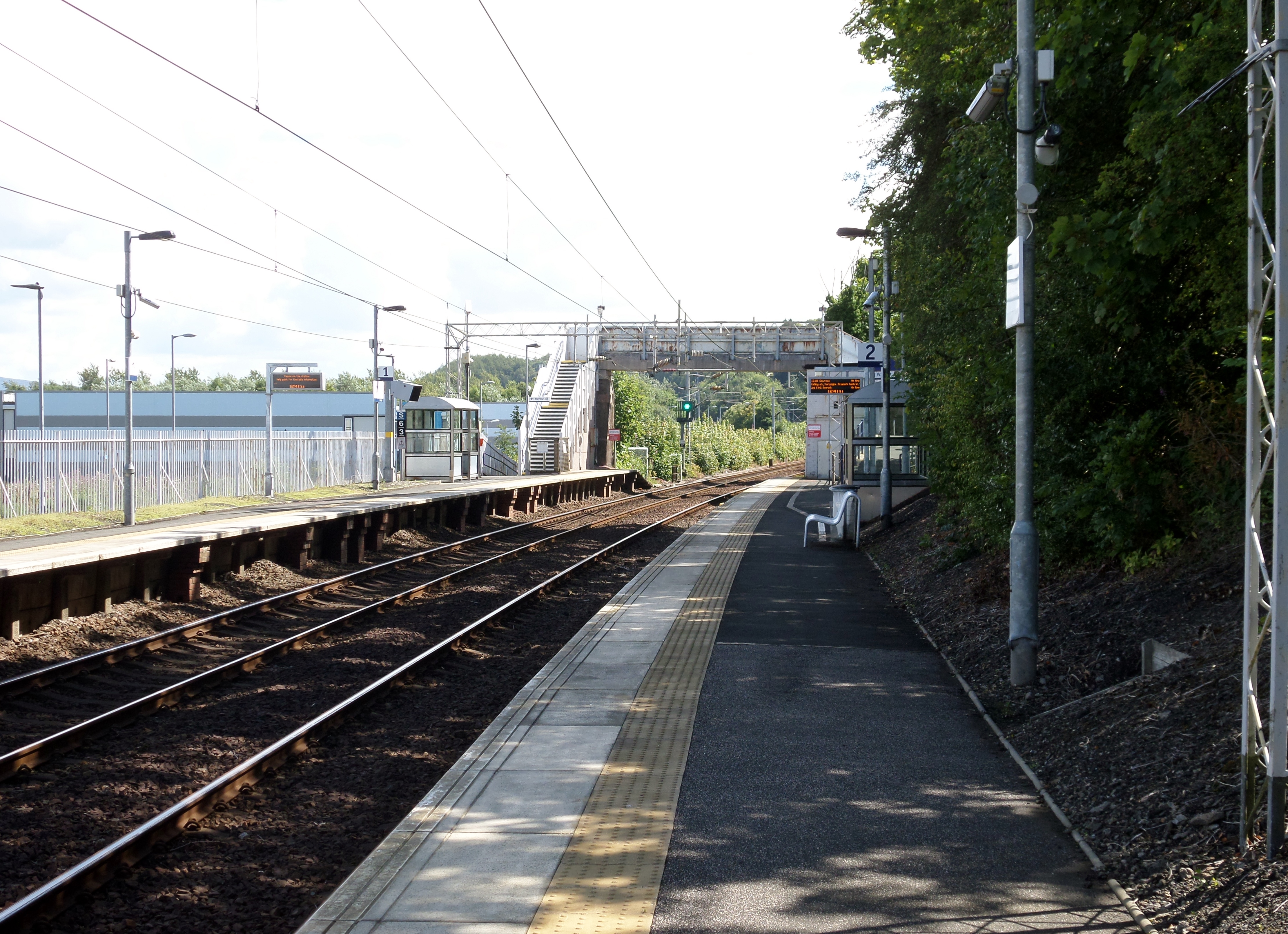
Woodhall railway station
Woodhall railway station serves the eastern part of the town of Port Glasgow in Inverclyde, Scotland. The station is sited in the Woodhall area and is...
Clune Park
Clune Park was a football ground in Port Glasgow, Scotland. It was the home ground of Port Glasgow Athletic from 1881 until they folded in 1912, and also...
Nearby Amenities
Located within 500m of 55.922985,-4.65951Have you been to Bardrainney?
Leave your review of Bardrainney below (or comments, questions and feedback).