Bardown
Settlement in Sussex Rother
England
Bardown

Bardown is a small village located in the district of Rother, Sussex, England. Situated on the High Weald Area of Outstanding Natural Beauty, Bardown is surrounded by picturesque countryside and offers its residents a tranquil and idyllic setting.
The village itself is characterized by its quaint and charming atmosphere, with traditional English cottages and a close-knit community. It is home to a small population, with residents often enjoying a close connection with their neighbors.
Bardown offers limited amenities, with a small convenience store providing the essentials for its residents. However, the village benefits from its proximity to nearby towns and villages, such as Battle and Robertsbridge, where a wider range of facilities, including shops, schools, and healthcare services, can be found.
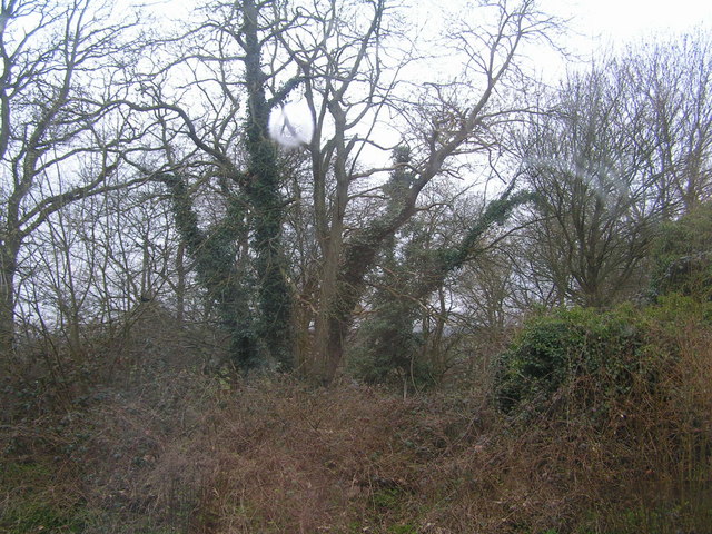
Nature lovers and outdoor enthusiasts are drawn to Bardown due to its stunning natural surroundings. The village is surrounded by rolling hills, woodlands, and meadows, offering numerous opportunities for walking, cycling, and exploring the countryside. The nearby Bedgebury National Pinetum and Forest is a popular attraction, providing visitors with beautiful landscapes, a variety of tree species, and recreational activities.
Transport links in Bardown are limited, with no direct train station in the village. However, nearby stations in Robertsbridge and Battle offer connections to London and other major cities. Road access is convenient, with the A21 passing close to the village, providing easy travel to neighboring towns and further afield.
Overall, Bardown offers a peaceful and picturesque way of life, with its natural beauty and tight-knit community providing a charming and desirable place to call home.
If you have any feedback on the listing, please let us know in the comments section below.
Bardown Images
Images are sourced within 2km of 51.037092/0.368164 or Grid Reference TQ6629. Thanks to Geograph Open Source API. All images are credited.


Bardown is located at Grid Ref: TQ6629 (Lat: 51.037092, Lng: 0.368164)
Administrative County: East Sussex
District: Rother
Police Authority: Sussex
What 3 Words
///masses.arts.sunblock. Near Ticehurst, East Sussex
Nearby Locations
Related Wikis
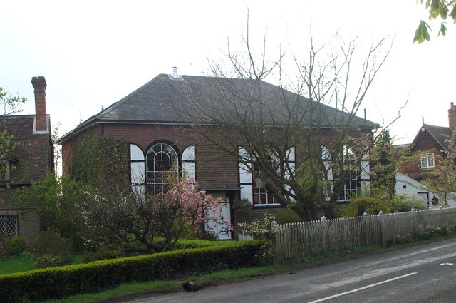
Shover's Green Baptist Chapel
Shover's Green Baptist Chapel is a former Strict Baptist place of worship in the hamlet of Shover's Green in East Sussex, England. Shover's Green is in...

Stonegate railway station
Stonegate railway station (not to be confused with Stone Crossing) is on the Hastings line in the south of England. It is located between Witherenden Hill...

Ticehurst House Hospital
Ticehurst House Hospital was a mental health facility. It opened in 1792 and was owned and run by five generations of members of the Newington family until...

Wadhurst Park
Wadhurst Park is a landed estate located in Wadhurst, East Sussex. It is owned by the Rausing family. The estate is 796 hectares and includes a deer park...
Nearby Amenities
Located within 500m of 51.037092,0.368164Have you been to Bardown?
Leave your review of Bardown below (or comments, questions and feedback).