Bardowie
Settlement in Stirlingshire
Scotland
Bardowie
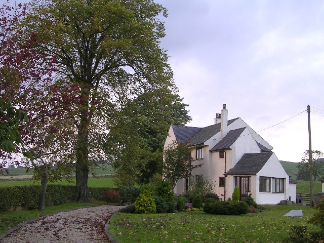
Bardowie is a small village located in the Stirlingshire council area of Scotland, approximately 10 miles north of the city of Glasgow. Situated on the eastern shores of Bardowie Loch, the village offers picturesque views of the surrounding countryside and is known for its tranquil and scenic setting.
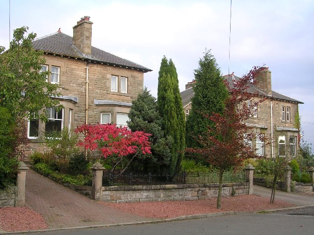
The village has a population of around 800 residents, living in a mix of traditional stone-built cottages and modern houses. Bardowie has a close-knit community feel, with a strong sense of community spirit and active local organizations. The village is served by a primary school, providing education for children in the area.
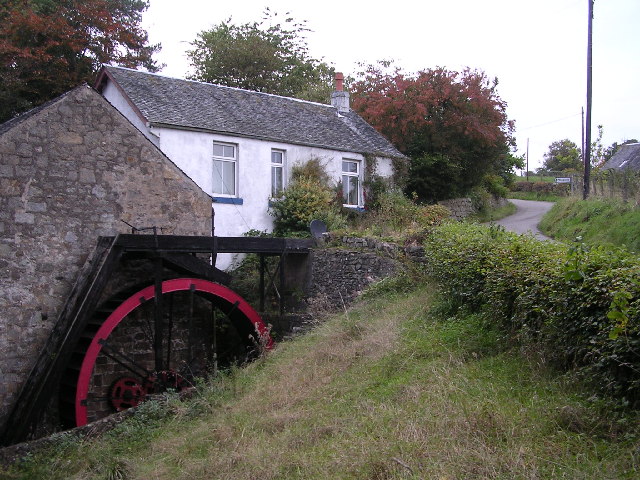
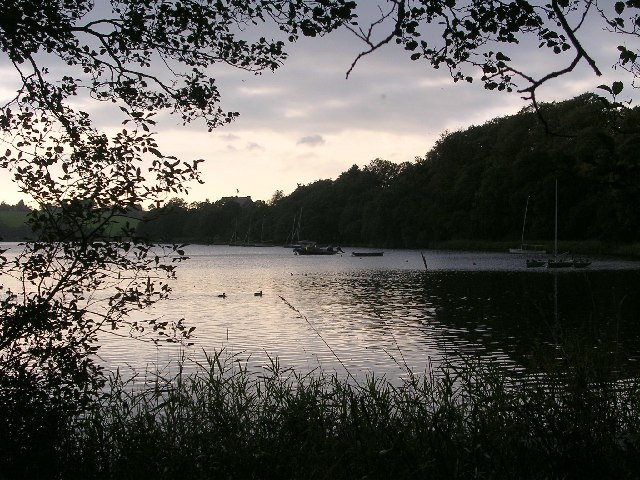
Bardowie is a popular destination for outdoor enthusiasts and nature lovers. Bardowie Loch, a freshwater loch covering an area of approximately 100 acres, offers opportunities for various water sports, including kayaking, sailing, and fishing. The loch is also home to a variety of bird species, making it a haven for birdwatchers.
For those looking to explore the area further, the nearby Campsie Fells and Mugdock Country Park provide ample opportunities for hiking and walking. The village is also conveniently located near the A81 road, providing easy access to Glasgow and other nearby towns and cities.
Overall, Bardowie offers a tranquil and picturesque setting with a strong sense of community. Its proximity to Glasgow and the surrounding natural beauty make it an attractive place to live for those seeking a balance between rural and urban living.
If you have any feedback on the listing, please let us know in the comments section below.
Bardowie Images
Images are sourced within 2km of 55.93352/-4.26823 or Grid Reference NS5873. Thanks to Geograph Open Source API. All images are credited.


![Balmore Coach House Operated by the Balmore Trust, the Coach House is a shop and small tea room, selling Fair Trade products. It raises money for a variety of projects in the UK, Asia and Africa.
Edit: Balmore Coach House ceased trading in February 2017, after 37 years and is widely regarded as the oldest fair trade shop in the UK, during which time it raised more than £1 million for good causes. The new fair trade centre at Gavin’s Mill [<a title="https://www.geograph.org.uk/photo/5318045" href="https://www.geograph.org.uk/photo/5318045">Link</a>] in nearby Milngavie has replaced it.](https://s1.geograph.org.uk/geophotos/05/13/83/5138357_95bad040.jpg)
![Balmore Coach House Balmore Coach House was operated by the Balmore Trust, and the Coach House was a shop and small tea room, selling Fair Trade products. It ceased trading in February 2017. The new fair trade centre at Gavin’s Mill [<a title="https://www.geograph.org.uk/photo/5318045" href="https://www.geograph.org.uk/photo/5318045">Link</a>] in nearby Milngavie has replaced it.](https://s0.geograph.org.uk/geophotos/05/89/92/5899200_e0274913.jpg)


Bardowie is located at Grid Ref: NS5873 (Lat: 55.93352, Lng: -4.26823)
Unitary Authority: East Dunbartonshire
Police Authority: Greater Glasgow
What 3 Words
///inspector.arch.blunt. Near Milngavie, East Dunbartonshire
Nearby Locations
Related Wikis

Bardowie
Bardowie is a hamlet in East Dunbartonshire located within the civil parish of Baldernock. It is two miles (three kilometres) from Milngavie and four miles...

Bardowie railway station
Bardowie railway station was opened in 1905 on the Kelvin Valley Railway, later than most of the other stations which had opened with the line itself in...

Bardowie Castle
Bardowie Castle is located 2 kilometres (1.2 mi) east of Milngavie, in East Dunbartonshire, Scotland. The A-Listed building overlooks Bardowie Loch. The...

Barnellan
Barnellan is a small hamlet in East Dunbartonshire, Scotland, situated in the civil parish of Baldernock. It consists of a few houses and a farm, the latter...
Nearby Amenities
Located within 500m of 55.93352,-4.26823Have you been to Bardowie?
Leave your review of Bardowie below (or comments, questions and feedback).