Bardsea
Settlement in Lancashire South Lakeland
England
Bardsea
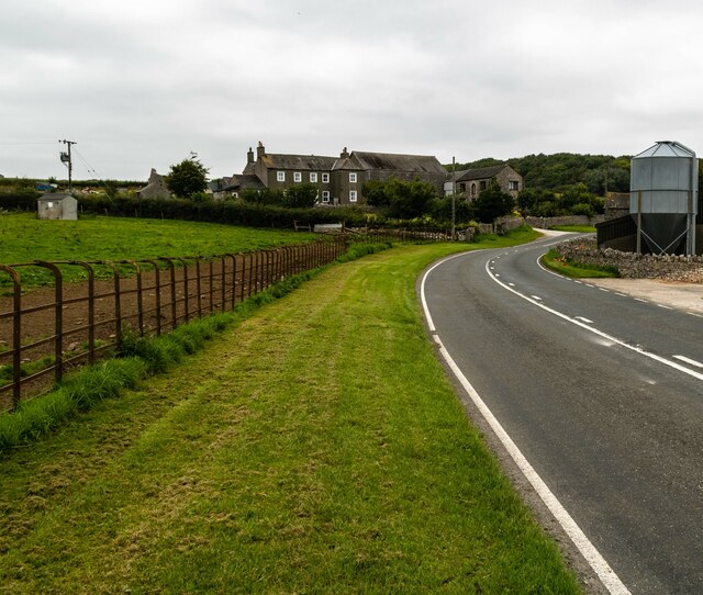
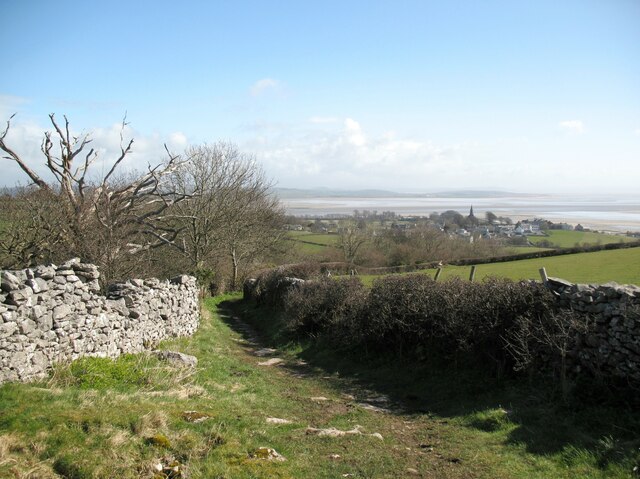
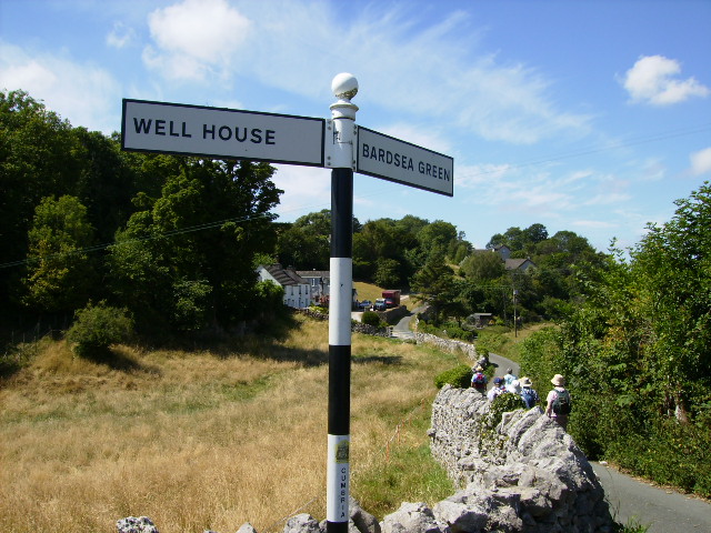
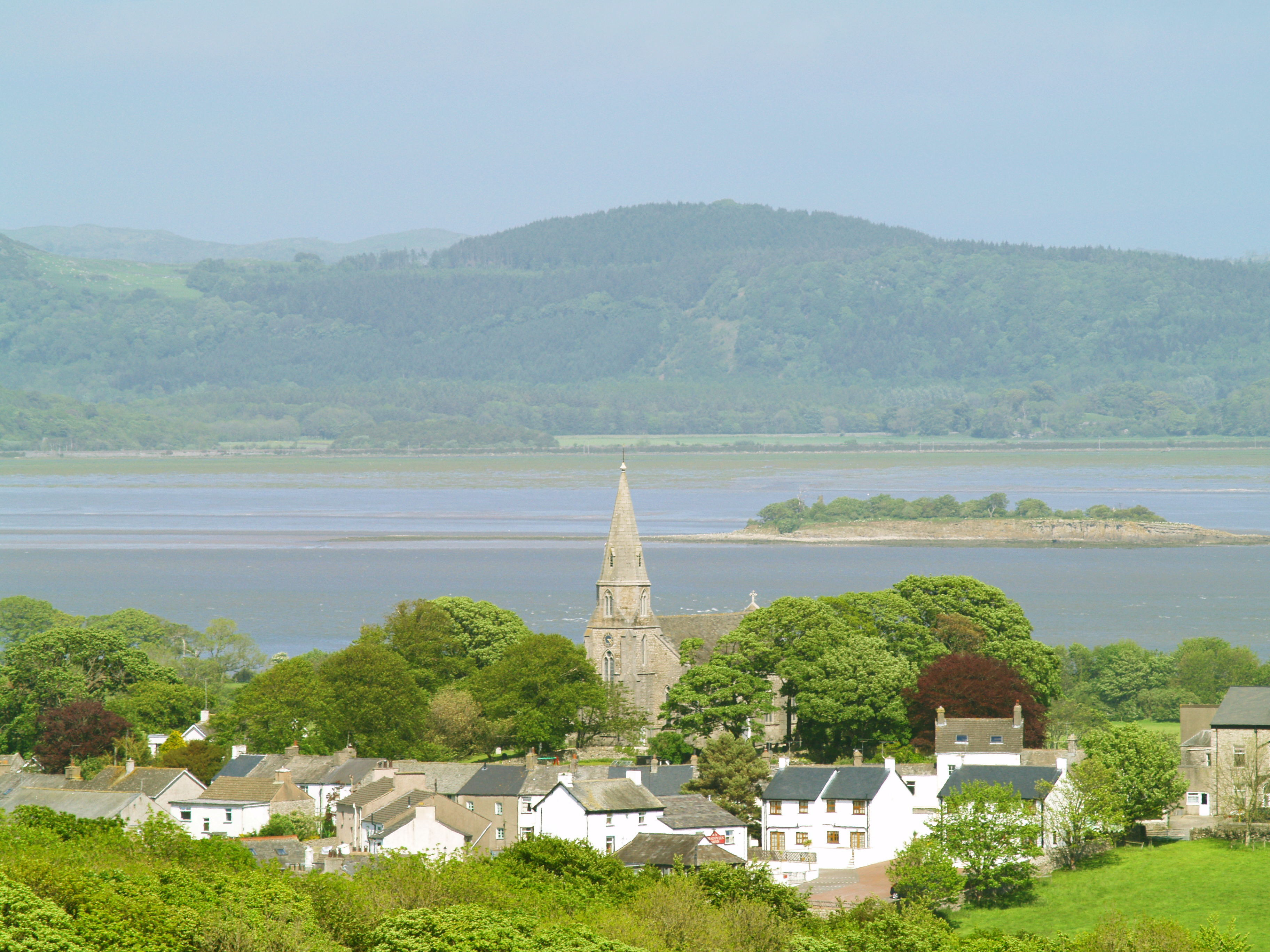
Bardsea is a small village located in the county of Lancashire, England. Situated on the southern coast of Morecambe Bay, it lies approximately 4 miles southwest of the town of Ulverston and 20 miles northeast of the city of Barrow-in-Furness. With a population of around 500 residents, Bardsea is known for its picturesque surroundings and natural beauty.
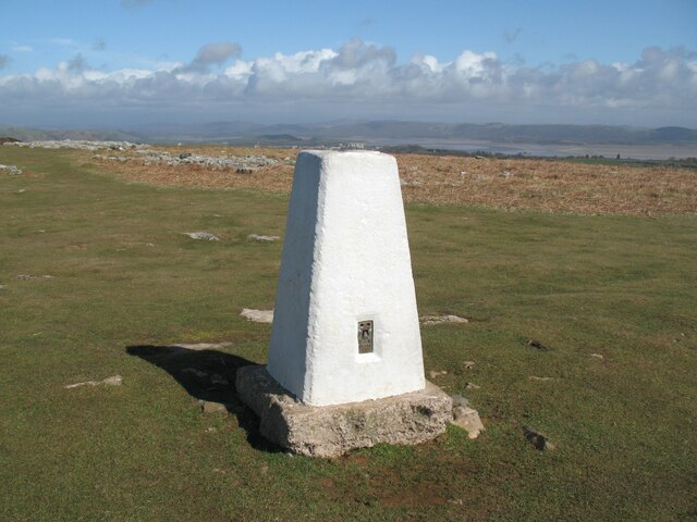
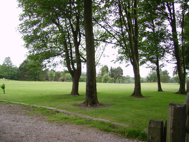
The village is nestled between the rolling hills of the Lake District National Park to the north and the stunning coastline of Morecambe Bay to the south. This makes Bardsea an ideal destination for outdoor enthusiasts, offering numerous opportunities for hiking, cycling, and birdwatching.
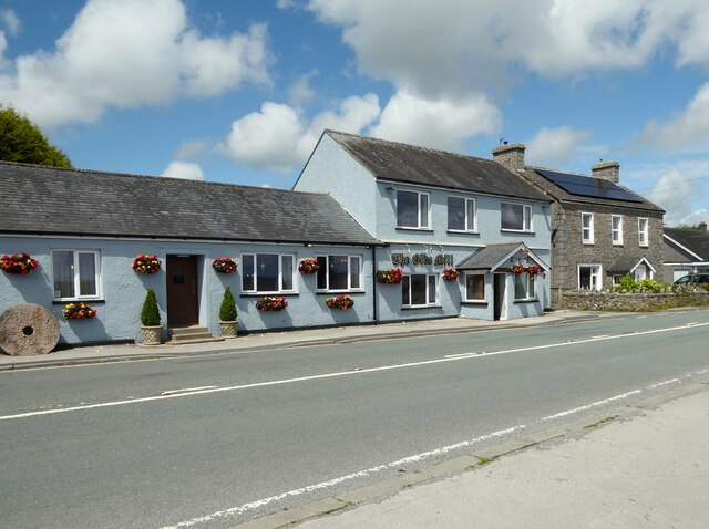
Bardsea is home to several historic landmarks, including St. Peter's Church, a beautiful medieval church known for its intricate stained-glass windows and impressive architecture. The village also boasts a charming local pub, The Ship Inn, which has been serving locals and visitors alike for centuries.
Despite its small size, Bardsea offers a range of amenities to its residents, including a community hall, a primary school, and a post office. The village has a strong sense of community, with various social and recreational activities organized throughout the year.
With its idyllic location, rich history, and welcoming community, Bardsea provides a peaceful and picturesque setting for those seeking a slower pace of life amidst Lancashire's natural splendor.
If you have any feedback on the listing, please let us know in the comments section below.
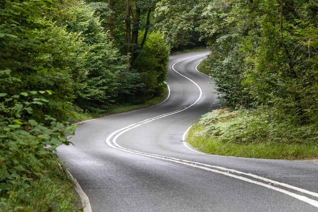
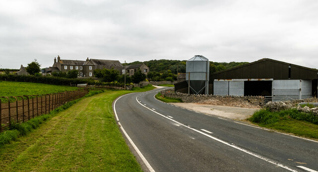
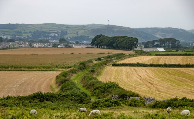
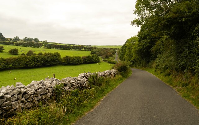
Bardsea Images
Images are sourced within 2km of 54.162627/-3.070522 or Grid Reference SD3074. Thanks to Geograph Open Source API. All images are credited.


Bardsea is located at Grid Ref: SD3074 (Lat: 54.162627, Lng: -3.070522)
Administrative County: Cumbria
District: South Lakeland
Police Authority: Cumbria
What 3 Words
///backswing.hello.unloaded. Near Swarthmoor, Cumbria
Nearby Locations
Related Wikis
Bardsea
Bardsea is a village in the Low Furness area of Cumbria, England. It is two miles to the south-east of Ulverston on the northern coast of Morecambe Bay...

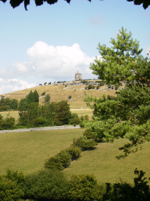
Birkrigg stone circle
The Birkrigg stone circle (also known as the Druid's Temple or Druids' Circle) is a Bronze Age stone circle on Birkrigg Common, two miles south of Ulverston...

Conishead Priory
Conishead Priory is a large Gothic Revival building on the Furness peninsula near Ulverston in Cumbria. The priory's name translates literally as "King...

Birkrigg
Birkrigg or Birkrigg Common is an open-area of limestone countryside near the town of Ulverston on the Furness Peninsula in southern Cumbria, England....
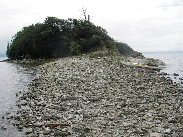
Chapel Island
Chapel Island is a limestone outcrop that lies in the Leven estuary of Morecambe Bay in England, less than one mile (1.6 km) from the shoreline at Bardsea...

Baycliff
Baycliff is a seaside village in the South Lakeland District of Cumbria in England. Historically in Lancashire, it lies 3 miles (4.8 km) south of Ulverston...
Dragley Beck
Dragley Beck is a hamlet in Cumbria, England. Historically part of Lancashire, it was the birthplace of Sir John Barrow (1764-1848), one of the founders...

Canal Foot
Canal Foot is an industrial village in Cumbria, England, on the Leven estuary. It is located 1.7 miles (2.7 km) by road to the east of the centre of Ulverston...
Related Videos

Tiger stripes visits Birkrigg
Tiger stripe Visits Birkrigg ..#Ulverston #cumbria #dogwalking.
Winter Solstice night Lake District Marmot Tent camp Coast to Coast Birkrigg stone circle
Day 5 Tonguegill Force which is where i wild camped the night wet weather no wind last night. In the morning i walked back down ...
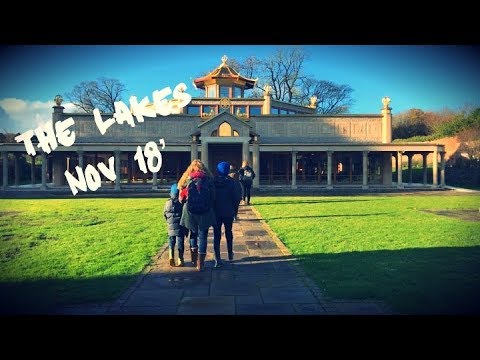
The Lakes, Nov 18’
We visit Manjushri Kadampa meditation centre near Ulverston, with our Home ed friends Sara and Izzy. A trip on Lake ...
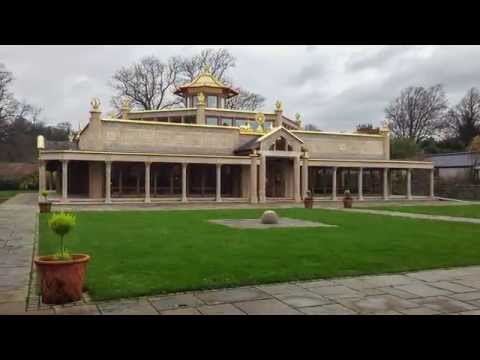
Going to a Buddhist Temple for the first time
Manjushri Kadampa Meditation Centre in Ulverston city - UK My friend loves meditating so I ended up visiting this beautiful temple ...
Nearby Amenities
Located within 500m of 54.162627,-3.070522Have you been to Bardsea?
Leave your review of Bardsea below (or comments, questions and feedback).