Alhampton
Settlement in Somerset Mendip
England
Alhampton
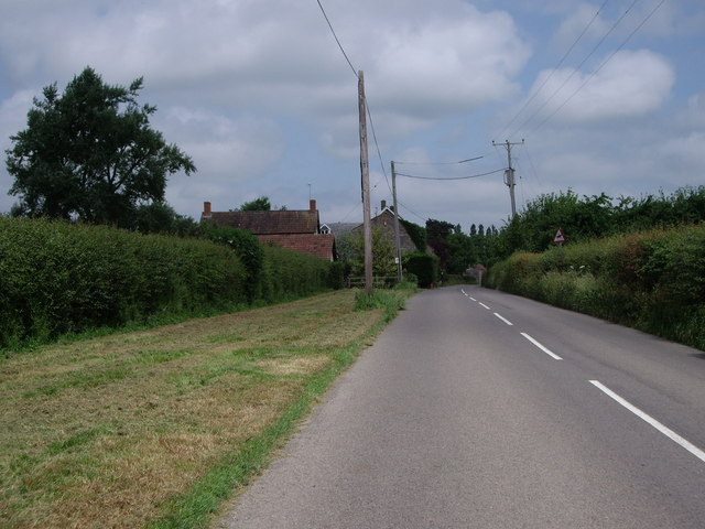
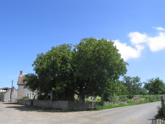
Alhampton is a small village located in the county of Somerset, England. Situated about 5 miles east of the historic town of Glastonbury, it falls within the district of Mendip. With a population of approximately 500 residents, Alhampton is known for its picturesque countryside setting and charming rural atmosphere.
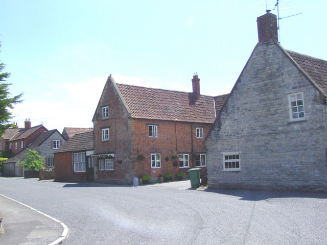
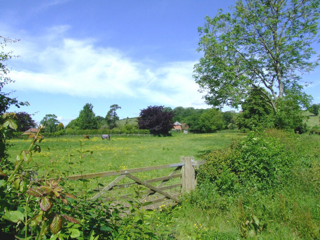
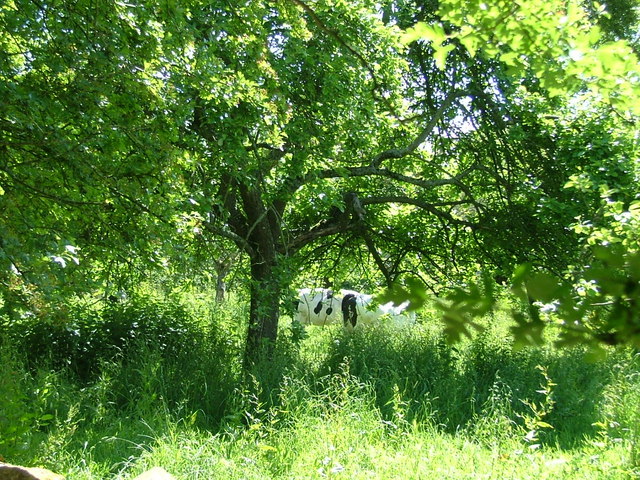
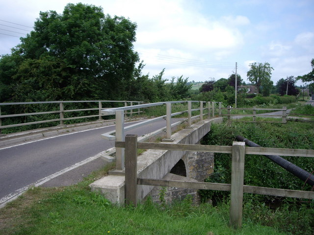
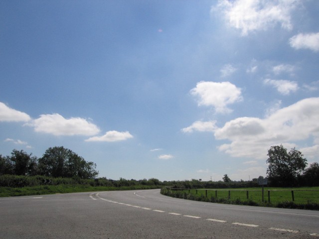
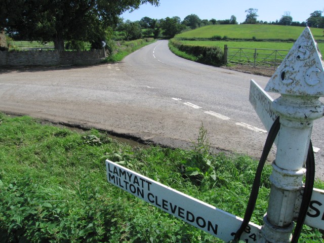
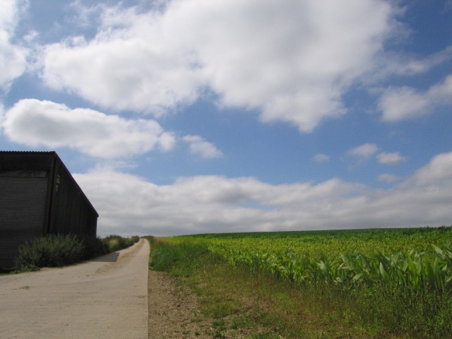
The village is surrounded by rolling hills and fertile farmland, making it an ideal location for agriculture. The landscape is dotted with traditional stone-built houses, many of which date back several centuries, giving Alhampton a quintessentially English feel.
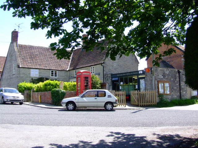
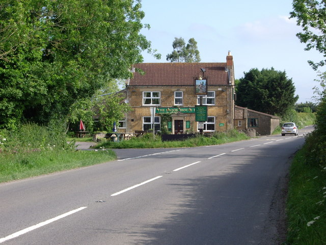
While primarily a residential area, Alhampton is also home to a few local businesses and amenities. These include a village hall, a pub, and a small shop that caters to the basic needs of the community. For more extensive amenities and services, residents typically travel to nearby towns such as Glastonbury or Shepton Mallet.
Alhampton benefits from its proximity to several notable attractions and landmarks. Glastonbury Tor, a famous hill and spiritual site, is only a short drive away, offering stunning views of the surrounding countryside. Additionally, the historic city of Wells, with its magnificent cathedral and bustling market square, is within easy reach.
The village enjoys a close-knit community spirit, with various events and activities organized throughout the year. These include local fairs, sports tournaments, and seasonal celebrations, which provide opportunities for residents to come together and socialize.
Overall, Alhampton is a tranquil and idyllic village, offering a peaceful retreat for those seeking a slower pace of life amidst the beauty of rural Somerset.
If you have any feedback on the listing, please let us know in the comments section below.
Alhampton Images
Images are sourced within 2km of 51.11069/-2.53109 or Grid Reference ST6234. Thanks to Geograph Open Source API. All images are credited.
Alhampton is located at Grid Ref: ST6234 (Lat: 51.11069, Lng: -2.53109)
Administrative County: Somerset
District: Mendip
Police Authority: Avon and Somerset
What 3 Words
///brushing.validated.troubled. Near Castle Cary, Somerset
Nearby Locations
Related Wikis

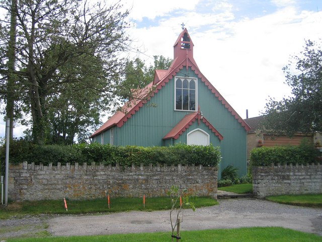
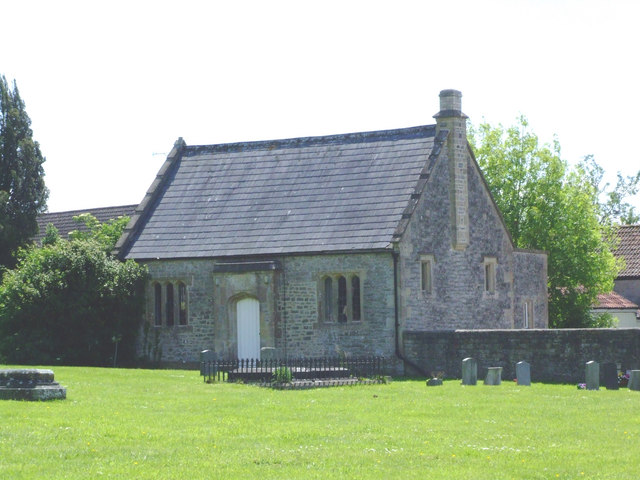
Alhampton Mission Church
Alhampton Mission Church is a Church of England church in Alhampton, Somerset, England. The tin tabernacle was erected in 1892 and now forms part of the...
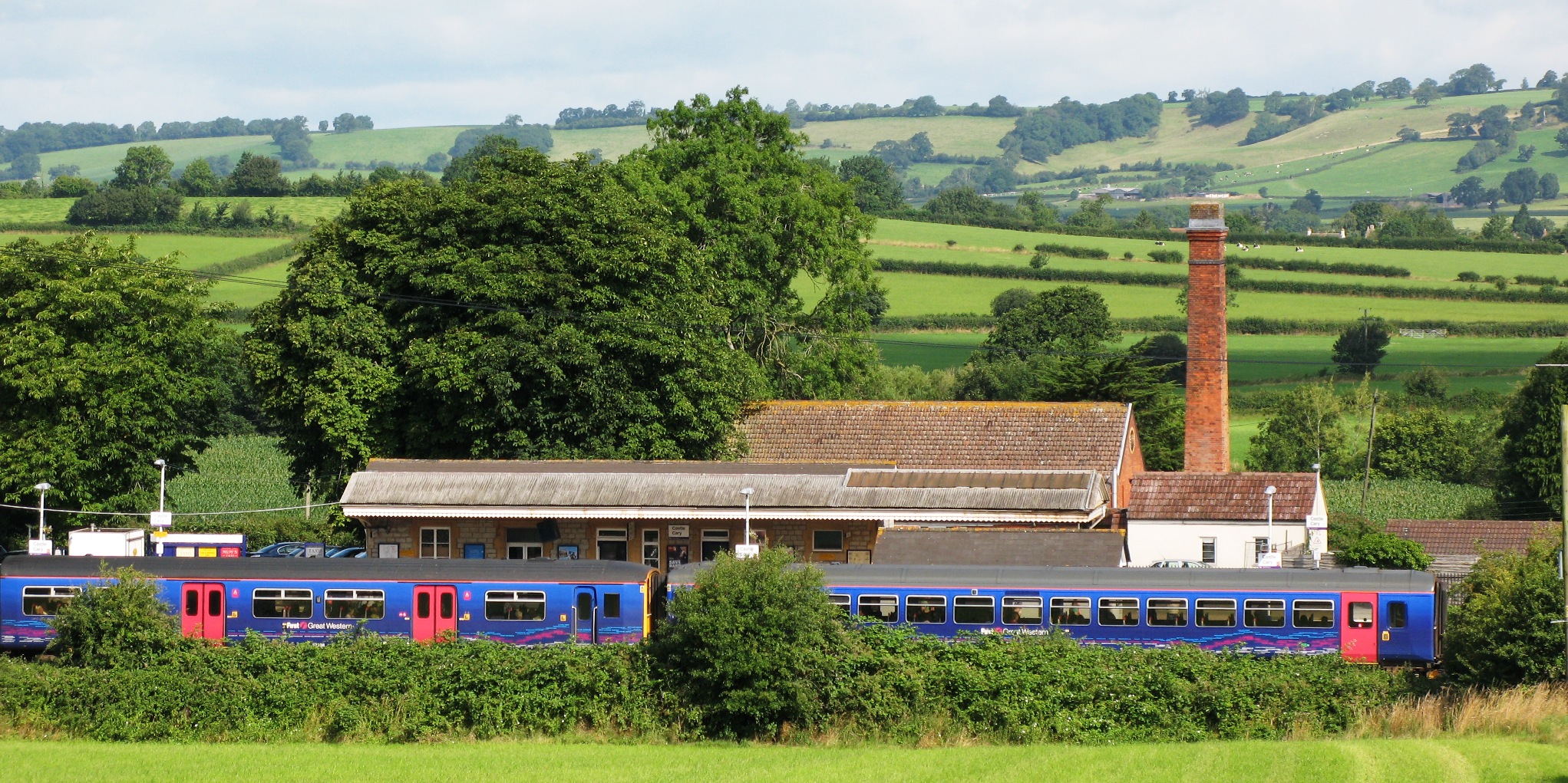
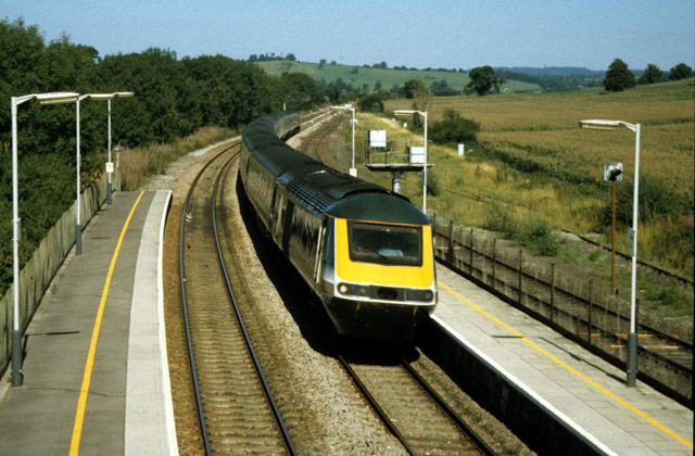
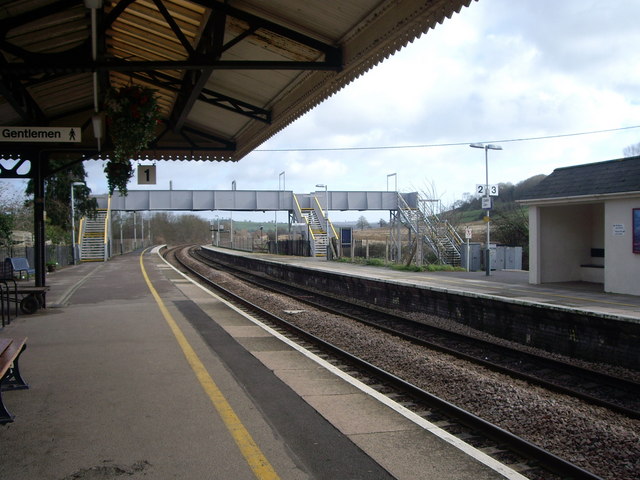
Castle Cary railway station
Castle Cary railway station is on the Reading to Taunton line 115.25 miles (185.48 km) south west of London Paddington and the Bristol to Weymouth line...
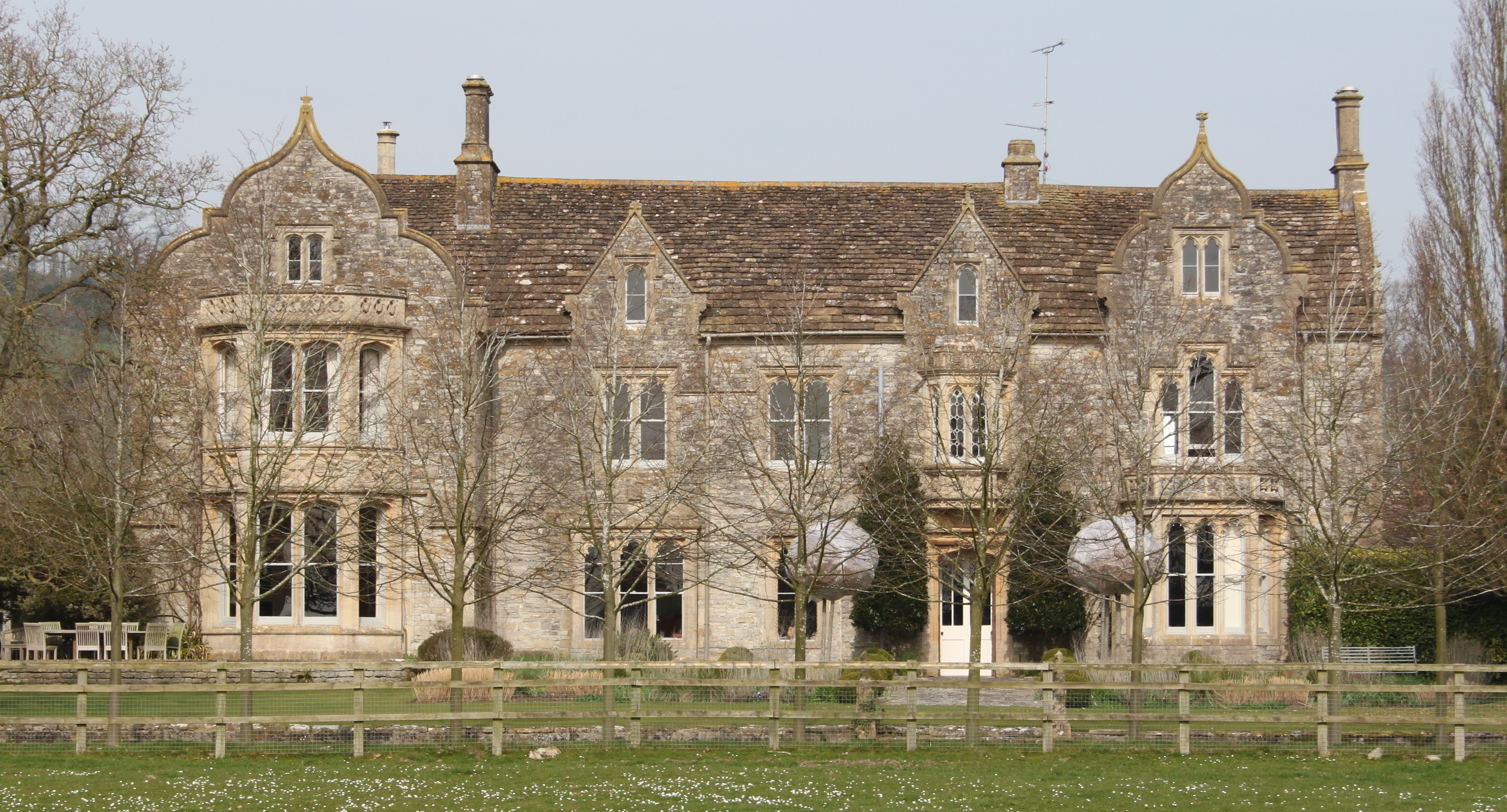
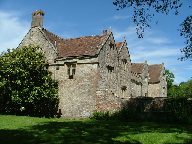
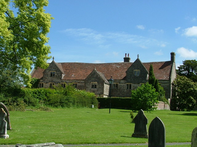
The Abbey, Ditcheat
The Abbey, Ditcheat (formerly known as The Priory) is a large house at Ditcheat in Somerset. Originally a rectory, now converted into a house, the Grade...

Ditcheat
Ditcheat is a village and civil parish 4.5 miles (7 km) south of Shepton Mallet, and 2.5 miles (4 km) north-west of Castle Cary, in Somerset, England....

Somerton and Frome (UK Parliament constituency)
Somerton and Frome is a constituency in Somerset represented in the House of Commons of the UK Parliament since 2023 by Sarah Dyke of the Liberal Democrats...

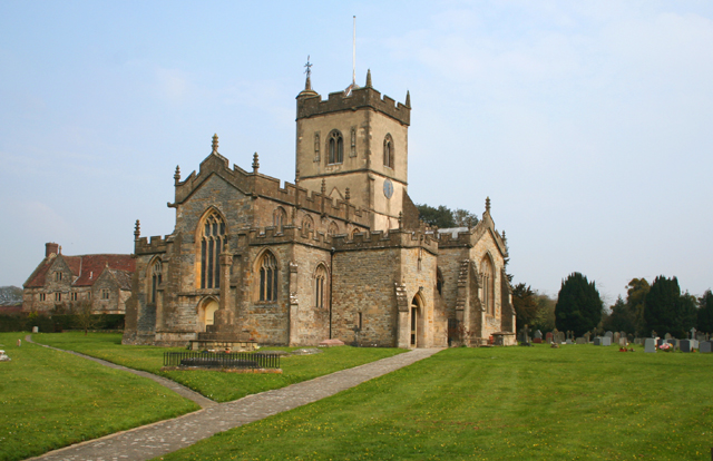
Church of St Andrew, Ansford
The Church of St Andrew in Ansford, Somerset, England, was built in the 15th century. It is a Grade II* listed building. == History == The tower remains...
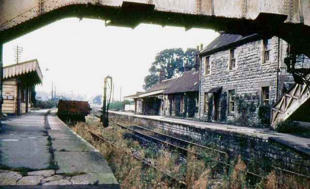
Evercreech Junction railway station
Evercreech Junction was a railway station at Evercreech on the Somerset and Dorset Joint Railway. Originally opened in 1862 as "Evercreech" on the original...
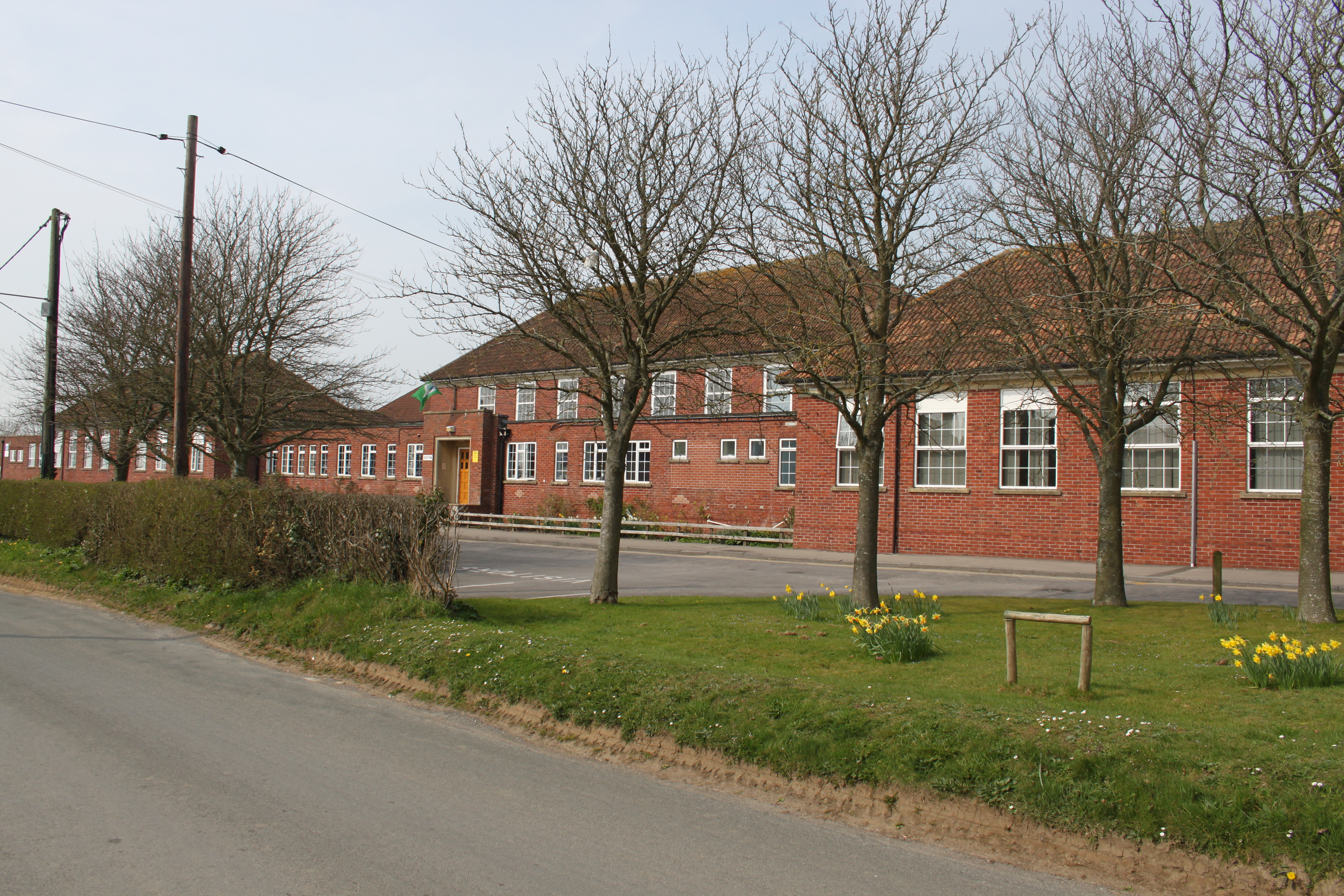
Ansford Academy
Ansford Academy, previously known as Ansford School, is a school located in Ansford, which lies on the northern edge of Castle Cary in Somerset, England...
Nearby Amenities
Located within 500m of 51.11069,-2.53109Have you been to Alhampton?
Leave your review of Alhampton below (or comments, questions and feedback).