Alisary

Settlement in Inverness-shire

Scotland

Alisary

A861 near Alisary
A861 near Alisary Credit: Steven Brown

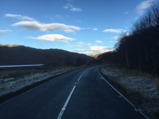
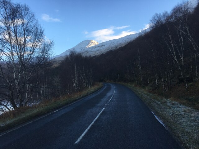
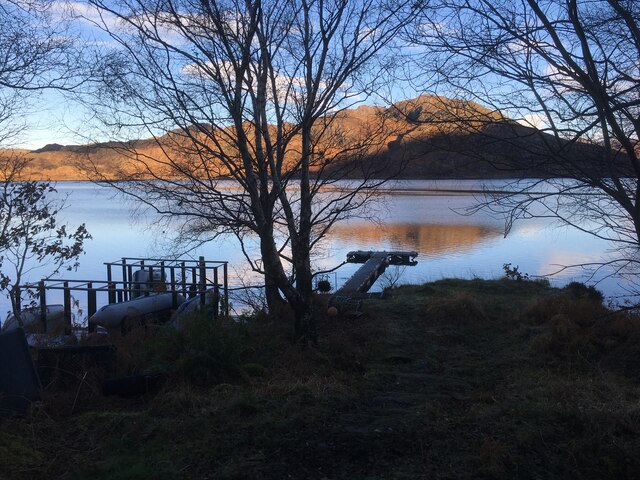
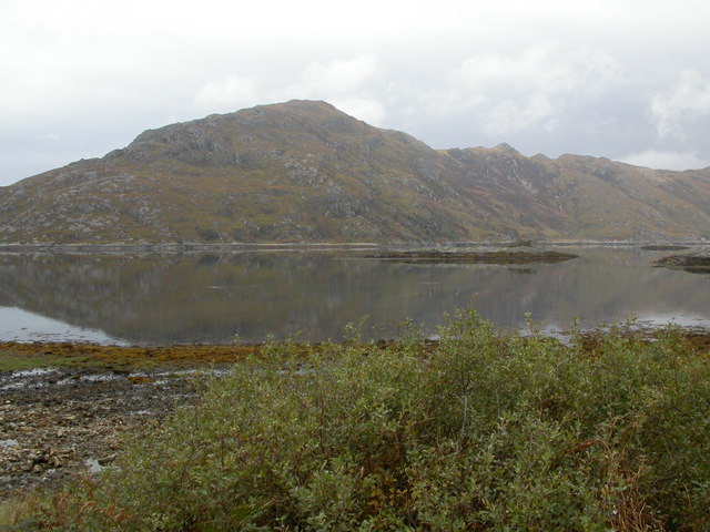
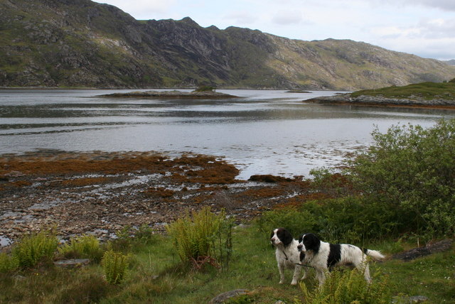
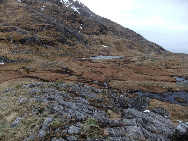
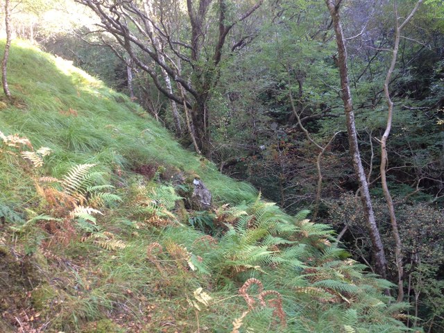
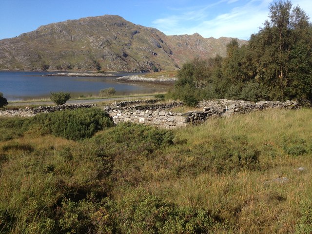
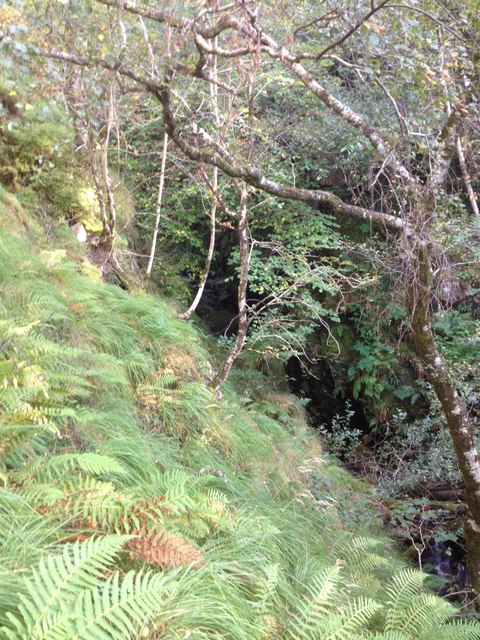
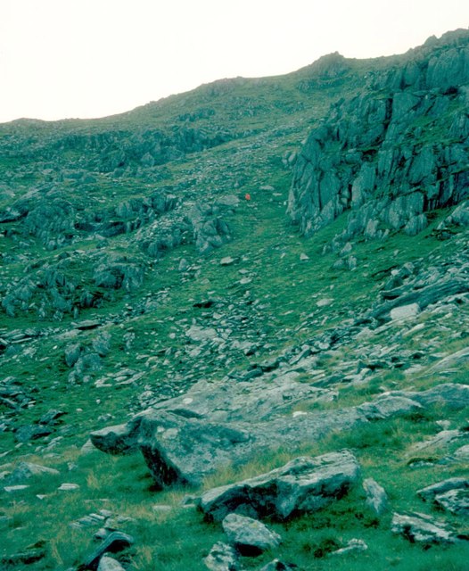
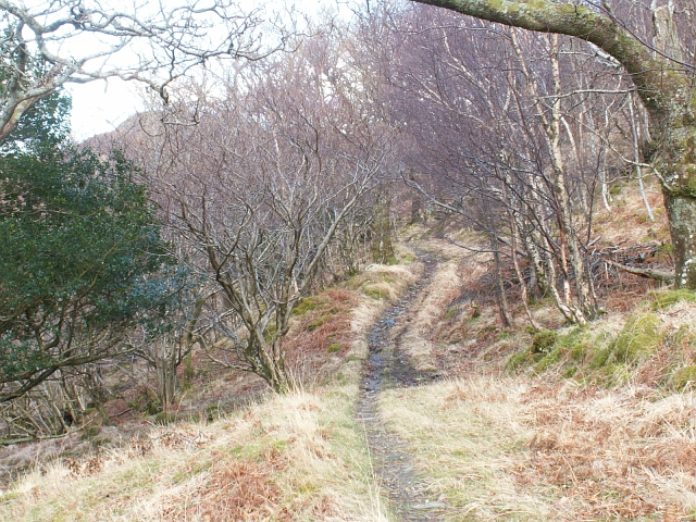
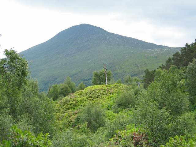
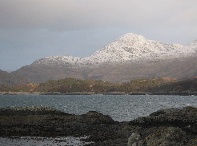
Alisary is a small village located in the county of Inverness-shire, in the Scottish Highlands. Situated amidst stunning natural surroundings, the village offers a picturesque setting for residents and visitors alike. Alisary is nestled in a valley, surrounded by rolling hills and dense forests, providing a tranquil and serene atmosphere.

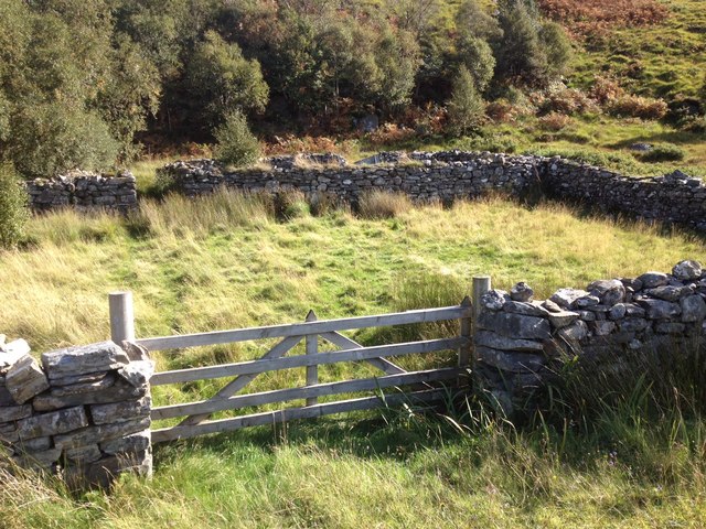
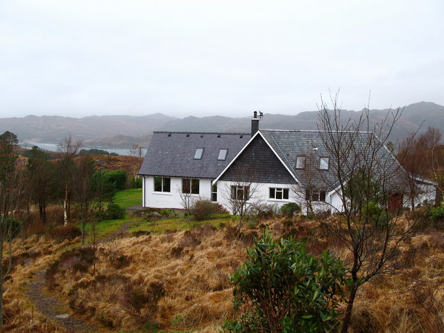
The village is home to a close-knit community that takes pride in preserving its rich history and cultural heritage. Many of the traditional stone houses in Alisary date back several centuries, adding to the village's charm and character. The local residents are known for their warm hospitality and friendly nature, making visitors feel welcome and at ease.

Despite its small size, Alisary offers a range of amenities and services to cater to the needs of its residents. These include a local grocery store, a post office, and a village hall that serves as a hub for community gatherings and events. The nearby town of Inverness provides additional amenities, including schools, healthcare facilities, and shopping centers, ensuring that residents have access to all necessary resources.

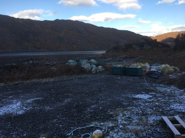
The surrounding natural beauty of Alisary provides ample opportunities for outdoor activities and exploration. The village is located near several hiking trails, allowing visitors to experience the breathtaking landscapes and wildlife of the Scottish Highlands. Fishing enthusiasts can also enjoy the nearby rivers and lochs, which are known for their abundance of trout and salmon.

Alisary is a hidden gem in Inverness-shire, offering a peaceful retreat for those seeking a slower pace of life and a deep connection with nature.

If you have any feedback on the listing, please let us know in the comments section below.

Alisary Images

Images are sourced within 2km of 56.847286/-5.7076816 or Grid Reference NM7479. Thanks to Geograph Open Source API. All images are credited.

A861 near Alisary
A861 near Alisary
A861 near Roshven
A861 near Roshven
Jetty on Loch Ailort
Ben Roshven from Roshven Farm Taken in the early 1980s. I'm estimating 1983. My father took this photo when I was a wee boy. I'm the little guy with the black top and red wellies.
Ben Roshven from Roshven Farm
Taken in the early 1980s. I'm estimating 1983. My father took this photo when I was a wee boy. I'm the little guy with the black top and red wellies.
Loch Ailort and south flank of Cruach an Aonaich
A brace of English Springer Spaniels near Roishven Straining on their leashes, this pair of Spaniels will soon be loosed to enjoy the freedom of Loch Ailort.
A brace of English Springer Spaniels near Roishven
Straining on their leashes, this pair of Spaniels will soon be loosed to enjoy the freedom of Loch Ailort.
Windswept lochan in Coire na Cnamha
Small stream near Alisary
Sheep pen near Alisary
Stream running in a gorge near Alisary
The western slopes of An Stac Looking out to Loch Ailort
The western slopes of An Stac
Looking out to Loch Ailort
Coire Cnamha on An Stac
Fish farming materials beside the A861
Loch Ailort from the slopes of An Stac An Stac is a simple conical hill above Loch Ailort. A view from the punishing ascent, down Loch Ailort to Eigg.
Loch Ailort from the slopes of An Stac
An Stac is a simple conical hill above Loch Ailort. A view from the punishing ascent, down Loch Ailort to Eigg.
Small Isles. The west ridge of Rois-bheinn is famed for the views given during its gentle descent.  Looking down the grassy ridge to Eigg, mountainous Rum, and a hint of Canna beyond. Even further out, the three big hills of South Uist can be seen <a href="https://www.geograph.org.uk/photo/15943">NF7933 : Beinn Mhor.</a>.
Small Isles.
The west ridge of Rois-bheinn is famed for the views given during its gentle descent. Looking down the grassy ridge to Eigg, mountainous Rum, and a hint of Canna beyond. Even further out, the three big hills of South Uist can be seen NF7933 : Beinn Mhor..
Rois Bheinn Boundary wall on summit of Rois Bheinn
Rois Bheinn
Boundary wall on summit of Rois Bheinn
Post road to Glen Uig Up until the mid 1960's this was the mail route and only land route from Kinlochailort to Glen Uig. Mails arrived on the train at Kinlochailort and were then taken on horseback by the postie out to Glen Uig and I think the return journey was done the next day. Looking East from Alisary and up towards Bealach Breac where the path reached it highest point at around 130mts before dropping down to sea level at Inverailort.
Post road to Glen Uig
Up until the mid 1960's this was the mail route and only land route from Kinlochailort to Glen Uig. Mails arrived on the train at Kinlochailort and were then taken on horseback by the postie out to Glen Uig and I think the return journey was done the next day. Looking East from Alisary and up towards Bealach Breac where the path reached it highest point at around 130mts before dropping down to sea level at Inverailort.
Show me another place!

Alisary is located at Grid Ref: NM7479 (Lat: 56.847286, Lng: -5.7076816)

Unitary Authority: Highland

Police Authority: Highlands and Islands

What 3 Words

///conjured.blurs.types. Near Arisaig, Highland

Nearby Locations

Alisary

Related Wikis

Alisary

Alisary is a tiny settlement in Highland, Scotland.

Loch Ailort

Loch Ailort ( lokh EYE-lərt; Scottish Gaelic: Loch Ailleart) is a sea loch in Morar, Lochaber, Highland, Scotland. Loch Ailort is a shallow V shaped loch...

Rois-bheinn

Rois-bheinn is the joint highest hill in the Scottish region of Moidart, a title it shares with its neighbour Beinn Odhar Bheag. The mountain may be climbed...

An Stac

An Stac is the name of a 814 m mountain in the Northwest Highlands, Scotland, on the shore of Loch Ailort on the west coast of Lochaber. A steep-sided...

Moidart

Moidart ( MOY-dart; Scottish Gaelic: Mùideart [ˈmuːitʲarˠʃt̪]) is part of the remote and isolated area of Scotland, west of Fort William, known as the...

Roshven

Roshven (Scottish Gaelic: Roisbheinn) is a township located on the eastern shoreline of Loch Ailort, in Lochaber, in the council area of Highland, Scotland...

Inverailort House

Inverailort House is a mansion, south of Lochailort, at the head of Loch Ailort. == History == Having been a shooting lodge for MacDonald of Clanranald...

Lochailort

Lochailort ( lokh-EYE-lərt, Scottish Gaelic: Ceann Loch Ailleart) is a hamlet in Scotland that lies at the head of Loch Ailort, a sea loch, on the junction...

Nearby Amenities

Located within 500m of 56.847286,-5.7076816
Source: PGS
Lat/Long: 56.8503779/-5.7123049
Source: PGS
Lat/Long: 56.8502973/-5.7130227
Source: PGS
Lat/Long: 56.8503869/-5.7130057
Source: PGS
Lat/Long: 56.8504421/-5.71296
Source: PGS
Lat/Long: 56.8507789/-5.7120723
Source: PGS
Lat/Long: 56.8505973/-5.7120243
Source: PGS
Lat/Long: 56.8504302/-5.7121825
Power: pole
Lat/Long: 56.8515622/-5.706346
Power: pole
Lat/Long: 56.8510929/-5.7066464
Power: pole
Lat/Long: 56.8499371/-5.7074055
Power: pole
Lat/Long: 56.8485716/-5.7083041
Power: pole
Lat/Long: 56.847957/-5.7086447
Power: pole
Lat/Long: 56.8469287/-5.7093018
Power: pole
Lat/Long: 56.8456232/-5.7121369
Power: pole
Lat/Long: 56.8451611/-5.7130301
Power: pole
Lat/Long: 56.8447152/-5.7140037
The data included in this document is from www.openstreetmap.org. The data is made available under ODbL.

Have you been to Alisary?

Leave your review of Alisary below (or comments, questions and feedback).