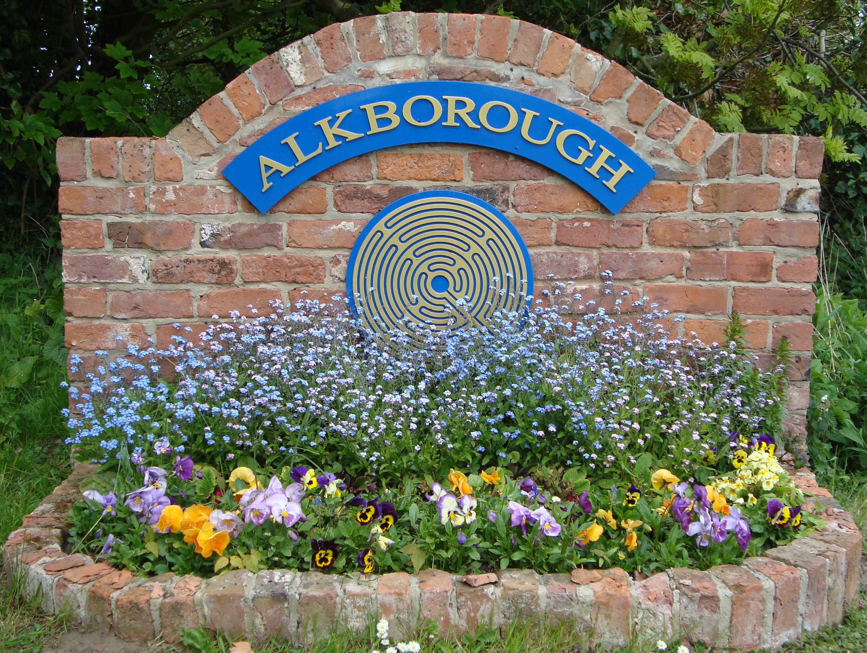
Alkborough

Settlement in Lincolnshire

England

Alkborough

Julian's Bower (Maze), Alkborough
Julian's Bower (Maze), Alkborough Credit: Colin Park

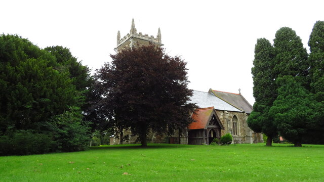
Alkborough is a small village located in the North Lincolnshire district of Lincolnshire, England. Situated on the banks of the River Trent, it is known for its picturesque and tranquil surroundings. The village is approximately 8 miles north-west of the town of Scunthorpe and about 15 miles south-east of the city of Hull.

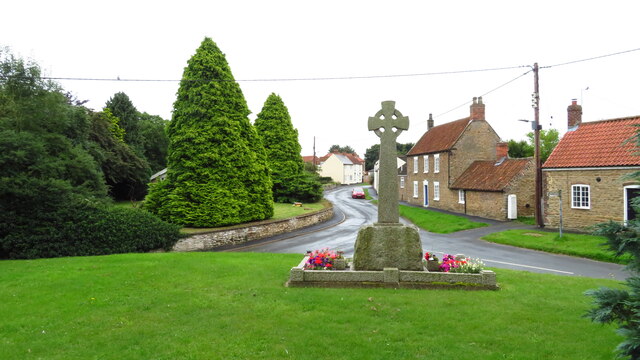
With a population of around 400 residents, Alkborough offers a close-knit community atmosphere. The village is home to a few amenities, including a local pub, a primary school, and a village hall. The nearby larger towns provide additional facilities and services for the residents' needs.

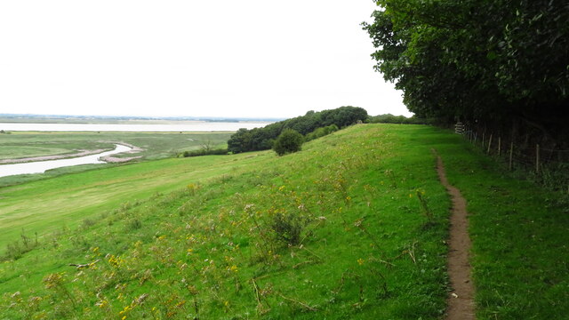
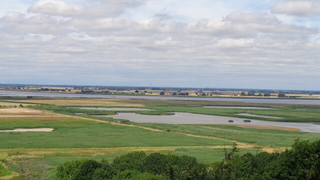
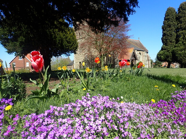
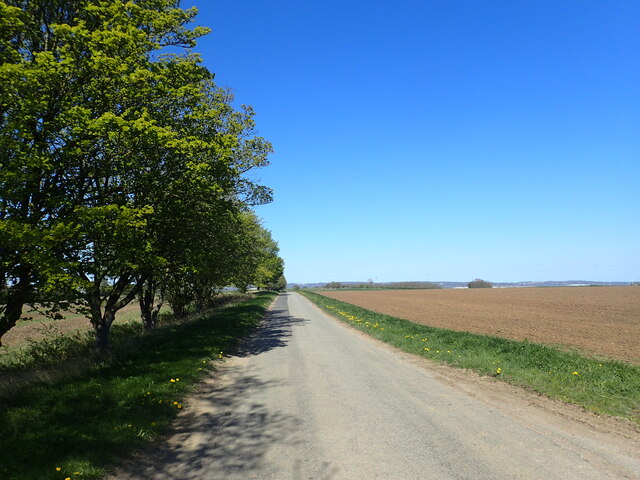
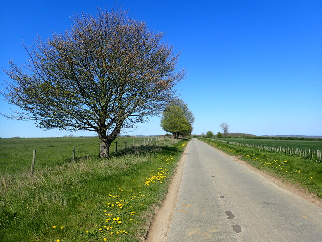
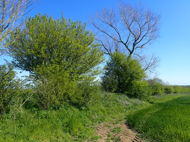
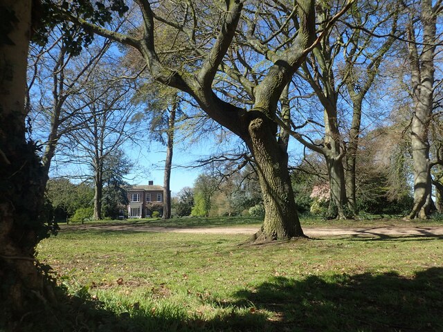
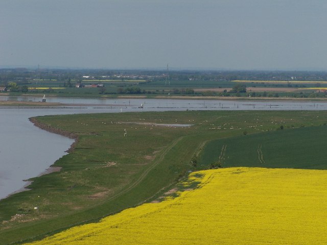
One of Alkborough's prominent features is its stunning natural beauty. Residents and visitors can enjoy the breathtaking views of the Humber Estuary, which is a popular spot for birdwatching and wildlife enthusiasts. The area is designated as a Site of Special Scientific Interest due to its diverse flora and fauna.

The village is also known for its historical significance. The Alkborough Flats, an area of marshland nearby, is home to the remains of a Roman fort. The fort, known as Causennae, was built in the 1st century AD and served as a strategic outpost along the Roman road known as Ermine Street.

Alkborough offers a peaceful and idyllic setting for those seeking a rural escape. Its rich natural landscapes, historical heritage, and welcoming community make it a delightful place to visit or call home.

If you have any feedback on the listing, please let us know in the comments section below.
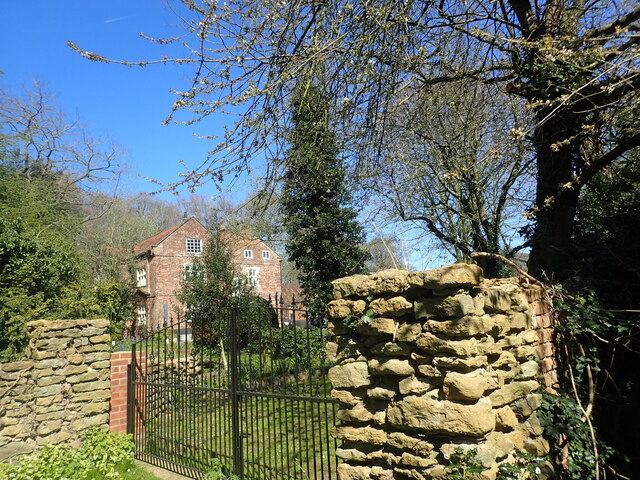
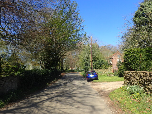
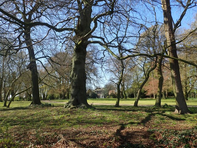
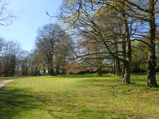
Alkborough Images

Images are sourced within 2km of 53.687337/-0.662187 or Grid Reference SE8822. Thanks to Geograph Open Source API. All images are credited.

Julian's Bower (Maze), Alkborough
Alkborough - Church of St John the Baptist
Alkborough - War Memorial
On path between Alkborough & Whitton
Julian's Bower turf cut maze
River Humber View from Alkborough with the confluence of the Trent and Ouse Rivers on the extreme left
River Humber
View from Alkborough with the confluence of the Trent and Ouse Rivers on the extreme left
Track off Walcot Road This track leads off Walcot Road, just south of Walcot.
Track off Walcot Road
This track leads off Walcot Road, just south of Walcot.
Walcot Old Hall Walcot Old Hall dates from the mid-17th century and is across the road from Walcot Hall which is mid-Georgian.
Walcot Old Hall
Walcot Old Hall dates from the mid-17th century and is across the road from Walcot Hall which is mid-Georgian.
St John Baptist Church, Alkborough The tower of the church is Anglo-Saxon while the upper part of the tower is Early English. The church was given to Spalding Priory in 1052. It is seen here from the corner of Church View and Church Side.
St John Baptist Church, Alkborough
The tower of the church is Anglo-Saxon while the upper part of the tower is Early English. The church was given to Spalding Priory in 1052. It is seen here from the corner of Church View and Church Side.
Whitton Road This is on the way out of Alkborough and heading towards the River Humber.
Whitton Road
This is on the way out of Alkborough and heading towards the River Humber.
Whitton Road This is north of Alkborough and heading towards the River Humber.
Whitton Road
This is north of Alkborough and heading towards the River Humber.
Ancient boundary This appears to be an ancient boundary feature and is in the form of a ditch and bank.
Ancient boundary
This appears to be an ancient boundary feature and is in the form of a ditch and bank.
Walcot Old Hall Walcot Old Hall dates from the mid-17th century and is across the road from Walcot Hall which is mid-Georgian. See also <a title="www.geograph.org.uk/photo/7468472" href="https://www.geograph.org.uk/photo/7468472">Link</a>
Walcot Old Hall
Walcot Old Hall dates from the mid-17th century and is across the road from Walcot Hall which is mid-Georgian. See also Link
Walcot Road Walcot Old Hall is on the right - see also <a title="www.geograph.org.uk/photo/7468472" href="https://www.geograph.org.uk/photo/7468472">Link</a>
Walcot Road
Walcot Old Hall is on the right - see also Link
Walcot Hall Walcot Hall was built in 1726 and is seen here from Walcot Road across its parkland. It is now a wedding venue - see <span class="nowrap"><a title="www.walcothallestate.co.uk" rel="nofollow ugc noopener" href="http://www.walcothallestate.co.uk">Link</a><img style="margin-left:2px;" alt="External link" title="External link - shift click to open in new window" src="https://s1.geograph.org.uk/img/external.png" width="10" height="10"/></span>  It is across the road from Walcot Old Hall - see <a title="www.geograph.org.uk/photo/7468472" href="https://www.geograph.org.uk/photo/7468472">Link</a>
Walcot Hall
Walcot Hall was built in 1726 and is seen here from Walcot Road across its parkland. It is now a wedding venue - see LinkExternal link It is across the road from Walcot Old Hall - see Link
The parkland of Walcot Hall Walcot Hall was built in 1726 and is seen here from Walcot Road across its parkland. It is now a wedding venue - see <span class="nowrap"><a title="www.walcothallestate.co.uk" rel="nofollow ugc noopener" href="http://www.walcothallestate.co.uk">Link</a><img style="margin-left:2px;" alt="External link" title="External link - shift click to open in new window" src="https://s1.geograph.org.uk/img/external.png" width="10" height="10"/></span>  It is across the road from Walcot Old Hall - see <a title="www.geograph.org.uk/photo/7468472" href="https://www.geograph.org.uk/photo/7468472">Link</a>
The parkland of Walcot Hall
Walcot Hall was built in 1726 and is seen here from Walcot Road across its parkland. It is now a wedding venue - see LinkExternal link It is across the road from Walcot Old Hall - see Link
Walcot Hall Walcot Hall was built in 1726 and is seen here from Walcot Road across its parkland. It is now a wedding venue - see <span class="nowrap"><a title="www.walcothallestate.co.uk" rel="nofollow ugc noopener" href="http://www.walcothallestate.co.uk">Link</a><img style="margin-left:2px;" alt="External link" title="External link - shift click to open in new window" src="https://s1.geograph.org.uk/img/external.png" width="10" height="10"/></span>  It is across the road from Walcot Old Hall - see <a title="www.geograph.org.uk/photo/7468472" href="https://www.geograph.org.uk/photo/7468472">Link</a>
Walcot Hall
Walcot Hall was built in 1726 and is seen here from Walcot Road across its parkland. It is now a wedding venue - see LinkExternal link It is across the road from Walcot Old Hall - see Link
Alkborough Cemetery Alkborough Cemetery is situated at the extreme south of the village off Walcot Road.
Alkborough Cemetery
Alkborough Cemetery is situated at the extreme south of the village off Walcot Road.
Show me another place!

Alkborough is located at Grid Ref: SE8822 (Lat: 53.687337, Lng: -0.662187)

Division: Parts of Lindsey

Unitary Authority: North Lincolnshire

Police Authority: Humberside

What 3 Words

///landscape.proceeds.starch. Near Whitton, Lincolnshire

Nearby Locations

Alkborough

Related Wikis

Alkborough

Alkborough is a parish of 471 people in 192 households (2021 census) in North Lincolnshire, England, located near the northern end of The Cliff range of...
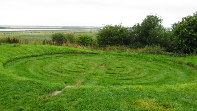
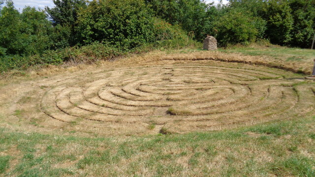
Julian's Bower

Julian's Bower or Julian Bower is a name given to turf mazes in several different parts of England. Only one of this name still exists, at Alkborough in...
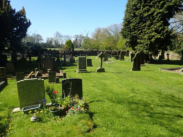
West Halton

West Halton is a village and civil parish in North Lincolnshire, England. It is situated 2.5 miles (4 km) north-west from Winterton, approximately 7 miles...

Trent Falls

Trent Falls is the confluence of the River Ouse and the River Trent which forms the Humber between Lincolnshire and the East Riding of Yorkshire in England...

Nearby Amenities

Located within 500m of 53.687337,-0.662187
Alkborough
Place: village
Source: NPE
Wikidata: Q989821
Lat/Long: 53.6847946/-0.6655823
Bus Stop
Cross Street
Naptan AtcoCode: 227000010001
Naptan Bearing: N
Naptan CommonName: Cross Street
Naptan Indicator: adj
Naptan Landmark: Cross Lane
Naptan NaptanCode: scuadad
Naptan Street: Front Street
Naptan Verified: no
Source: naptan_import
Lat/Long: 53.684341/-0.6655764
Cross Street
Naptan AtcoCode: 227000010002
Naptan Bearing: S
Naptan BusStopType: CUS
Naptan CommonName: Cross Street
Naptan Indicator: opp
Naptan NaptanCode: scuagad
Naptan Street: Front Street
Naptan Verified: no
Source: naptan_import
Lat/Long: 53.6842231/-0.6654892
Bus Stop
School
Naptan AtcoCode: 227000010007
Naptan Bearing: N
Naptan CommonName: School
Naptan Indicator: opp
Naptan NaptanCode: scumtjd
Naptan Street: Whitton Road
Naptan Verified: no
Source: naptan_import
Lat/Long: 53.6871291/-0.6624897
Bus Stop
School
Naptan AtcoCode: 227000010008
Naptan Bearing: S
Naptan CommonName: School
Naptan Indicator: o/s
Naptan NaptanCode: scumwjd
Naptan Street: Whitton Road
Naptan Verified: no
Source: naptan_import
Lat/Long: 53.6870206/-0.6624326
Place Of Worship
Alkborough Methodist Chapel
Denomination: methodist
Religion: christian
Status: closed
Lat/Long: 53.6840704/-0.6659413
Post Box
Operator: Royal Mail
Post Box Type: lamp
Lat/Long: 53.6846226/-0.6660889
Barrier: stile
Lat/Long: 53.6856401/-0.662751
Barrier: stile
Lat/Long: 53.6850198/-0.6632311
Pub
Coronation Club
Addr City: Scunthorpe
Addr Housename: Coronation Club
Addr Postcode: DN15 9JN
Addr Street: Back Street
Addr Suburb: Alkborough
Alt Name: Alkborough Club
Fhrs Id: 213296
Source Addr: FHRS Open Data
Lat/Long: 53.6849578/-0.6671377
Give Way
Lat/Long: 53.6858145/-0.6667
Holme Farm
Place: farm
Source: Bing
Lat/Long: 53.6847972/-0.6633481
Prospect Farm
Place: farm
Source: Bing
Lat/Long: 53.6872719/-0.6650452
Spring Gate Farm
Place: farm
Source: Bing
Lat/Long: 53.6855831/-0.6638159
Willowcroft
Place: isolated_dwelling
Source: Bing
Lat/Long: 53.6911022/-0.6631671
Generator Method: photovoltaic
Generator Output Electricity: yes
Generator Source: solar
Generator Type: solar_photovoltaic_panel
Location: roof
Power: generator
Lat/Long: 53.6842529/-0.6666014
Generator Method: photovoltaic
Generator Output Electricity: yes
Generator Source: solar
Generator Type: solar_photovoltaic_panel
Location: roof
Power: generator
Lat/Long: 53.6875521/-0.6615575
Generator Method: photovoltaic
Generator Output Electricity: yes
Generator Source: solar
Generator Type: solar_photovoltaic_panel
Location: roof
Power: generator
Lat/Long: 53.6844467/-0.6648754
Post Office
Alkborough Post Office
Addr City: Scunthorpe
Addr Country: GB
Addr Housename: Coronation Club
Addr Postcode: DN15 9JN
Addr Street: Back Street
Addr Village: Alkborough
Brand: Post Office
Brand Wikidata: Q1783168
Check Date: 2022-05-27
Check Date Opening Hours: 2022-05-27
Contact Website: https://www.postoffice.co.uk/branch-finder/0284726/alkborough
Opening Hours: Mo 14:00-16:30
Ref Pol Id: 179192
Lat/Long: 53.6849/-0.6672
The data included in this document is from www.openstreetmap.org. The data is made available under ODbL.

Have you been to Alkborough?

Leave your review of Alkborough below (or comments, questions and feedback).