Alkerton

Settlement in Gloucestershire Stroud

England

Alkerton

Disused lock on the Stroudwater Canal
Disused lock on the Stroudwater Canal Credit: David Griffiths

Alkerton is a small village located in the county of Gloucestershire, England. Situated in the picturesque Cotswolds, it is surrounded by rolling hills and stunning countryside. The village is part of the district of Tewkesbury and lies approximately 10 miles southwest of the town of Evesham.

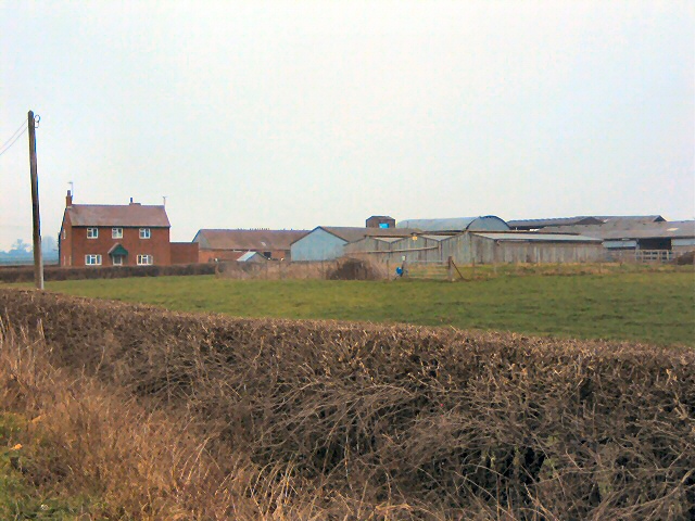
With a population of around 200 residents, Alkerton has a close-knit community feel. The village is predominantly residential, with a mix of charming cottages and modern houses. The homes are set amongst well-maintained gardens and leafy tree-lined streets, giving the village a tranquil and idyllic atmosphere.

Despite its small size, Alkerton has a strong sense of community spirit. The village is proud to have a local pub, The Alkerton Oak, which serves as a social hub for residents and visitors alike. The pub offers a friendly and welcoming atmosphere, along with traditional pub food and a selection of beverages.

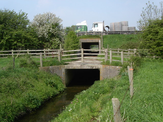
For those who enjoy outdoor activities, Alkerton provides ample opportunities. The surrounding countryside offers plenty of walking and cycling routes, allowing residents to explore the natural beauty of the Cotswolds. Additionally, the nearby River Avon provides opportunities for fishing and boating.

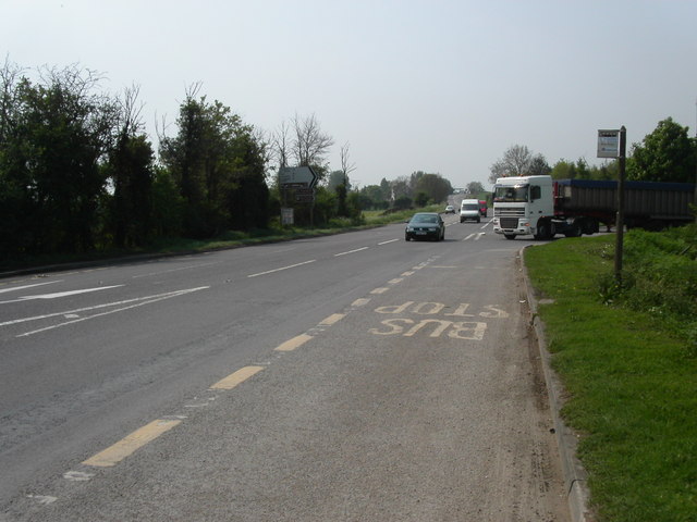
Although Alkerton is a peaceful and rural village, it benefits from its proximity to larger towns and cities. Evesham, with its range of amenities including shops, schools, and leisure facilities, is easily accessible by car or public transportation.

In summary, Alkerton is a charming and tranquil village situated in the heart of the Gloucestershire countryside. With its close-knit community, beautiful surroundings, and convenient access to nearby towns and cities, it offers a desirable place to live for those seeking a peaceful rural lifestyle.

If you have any feedback on the listing, please let us know in the comments section below.
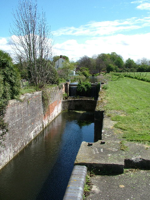
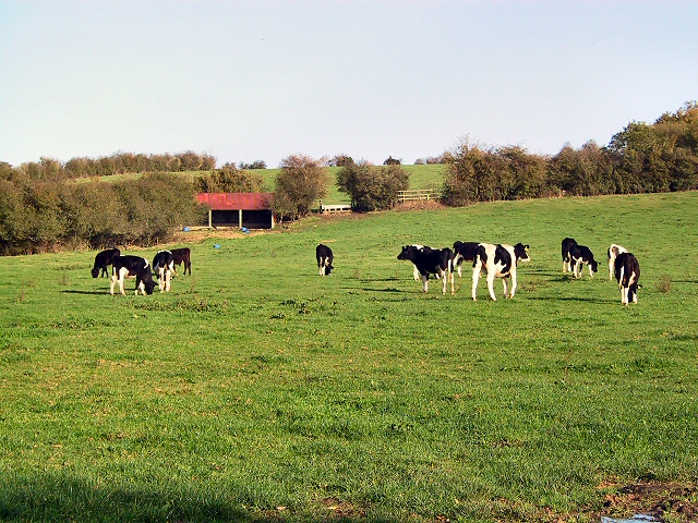
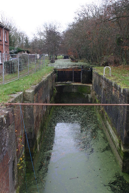
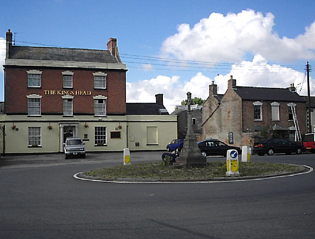
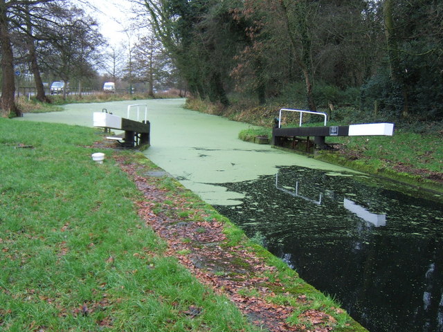
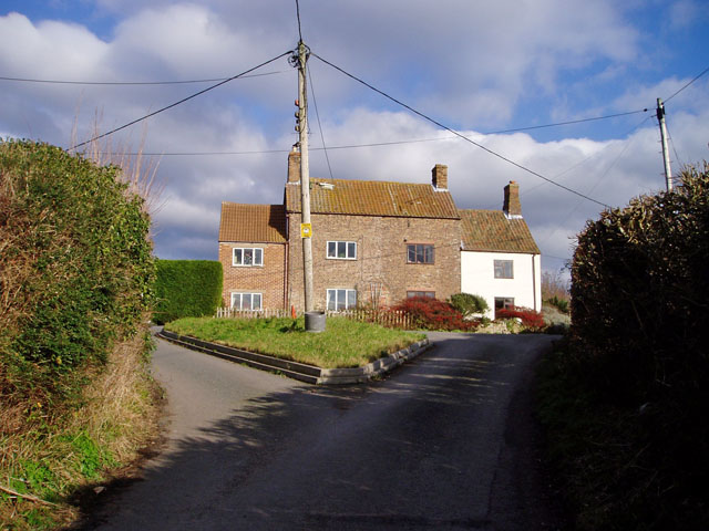
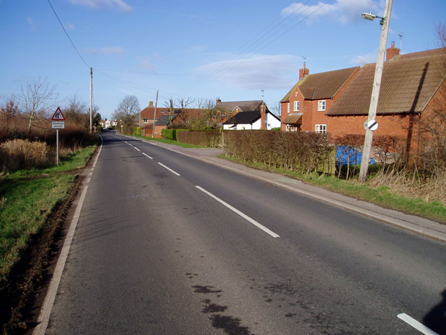
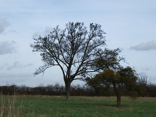
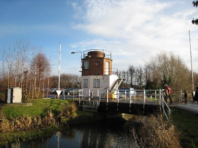
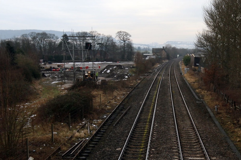
Alkerton Images

Images are sourced within 2km of 51.74589/-2.330216 or Grid Reference SO7705. Thanks to Geograph Open Source API. All images are credited.

Disused lock on the Stroudwater Canal
Home on the Range Cattle grazing in front of their byre below Grove End Farm, adjacent to the A419 extension which links the M5 to the A38 along the course of the old canal.
Home on the Range
Cattle grazing in front of their byre below Grove End Farm, adjacent to the A419 extension which links the M5 to the A38 along the course of the old canal.
Stroudwater canal Looking E from position
Stroudwater canal
Looking E from position
Roundabout at Alkerton, Eastington At the junction of Alkerton Road and Bath Road. I don't know anything about the stone cross, but it clearly pre-dates the roundabout. The 'King's Head' on the south side of the junction is a late-18th or early-19th-century brick house with a cornice and a parapet, a doorway with a fan-light, and a porch with Doric columns; it was a public house by 1834.
Roundabout at Alkerton, Eastington
At the junction of Alkerton Road and Bath Road. I don't know anything about the stone cross, but it clearly pre-dates the roundabout. The 'King's Head' on the south side of the junction is a late-18th or early-19th-century brick house with a cornice and a parapet, a doorway with a fan-light, and a porch with Doric columns; it was a public house by 1834.
New House Farm Farm buildings adjacent to the A38 just north of Cambridge, Gloucestershire.
New House Farm
Farm buildings adjacent to the A38 just north of Cambridge, Gloucestershire.
M5 Underpass Close to Eastington this M5 underpass gives Wicksters brook, farm vehicles and pedestrian traffic access to the other side of the motorway.
M5 Underpass
Close to Eastington this M5 underpass gives Wicksters brook, farm vehicles and pedestrian traffic access to the other side of the motorway.
A38 Frampton on Severn turnoff The B4071 junction on the A38 takes you down to Frampton on Severn and the Gloucester and Sharpness canal.
A38 Frampton on Severn turnoff
The B4071 junction on the A38 takes you down to Frampton on Severn and the Gloucester and Sharpness canal.
Highway Agency depot A new structure being built at the motorway maintenance compound close to  Eastington next to the M5 Jct13.
Highway Agency depot
A new structure being built at the motorway maintenance compound close to Eastington next to the M5 Jct13.
Blunder Lock Part of the Stroudwater Canal which, it is intended, will form part of the Thames and Severn canal link once reopened.  As this section is currently land locked, boats are only normally seen here in the summer.
Blunder Lock
Part of the Stroudwater Canal which, it is intended, will form part of the Thames and Severn canal link once reopened. As this section is currently land locked, boats are only normally seen here in the summer.
House at Cress Green One of a small group of houses at the end of a cul-de-sac leading away from Eastington.
House at Cress Green
One of a small group of houses at the end of a cul-de-sac leading away from Eastington.
Eastington The road into the village from Frocester.
Eastington
The road into the village from Frocester.
Oldends Industrial Estate
Bare trees and mistletoe Mistletoe is common in this area but it obviously prefers the old apple tree in this field to its larger neighbour.
Bare trees and mistletoe
Mistletoe is common in this area but it obviously prefers the old apple tree in this field to its larger neighbour.
Food miles M5 northbound, approaching Junction 13
Food miles
M5 northbound, approaching Junction 13
M5, just south of Junction 13 This stretch of the M5 is a dominating feature of SO7605, being visible and audible from much of the grid square.  This picture is looking north, as the motorway enters a cutting to take it under the minor road from Claypits to Eastington.

The heaps of cut vegetation on the verges are a result of recent maintenance - they are currently a feature along mile after mile of the motorway.
M5, just south of Junction 13
This stretch of the M5 is a dominating feature of SO7605, being visible and audible from much of the grid square. This picture is looking north, as the motorway enters a cutting to take it under the minor road from Claypits to Eastington. The heaps of cut vegetation on the verges are a result of recent maintenance - they are currently a feature along mile after mile of the motorway.
Pike Bridge This bridge over the Stroudwater Canal replaces one destroyed in 1970. Read about the history here: <span class="nowrap"><a title="http://www.stroudwater.co.uk/pikebridge/" rel="nofollow ugc noopener" href="http://www.stroudwater.co.uk/pikebridge/">Link</a><img style="margin-left:2px;" alt="External link" title="External link - shift click to open in new window" src="https://s1.geograph.org.uk/img/external.png" width="10" height="10"/></span>
Pike Bridge
This bridge over the Stroudwater Canal replaces one destroyed in 1970. Read about the history here: LinkExternal link
Westfield Bridge An occupation bridge over an infilled section of the Stroudwater Canal. Just in front of the bridge you can see the remains of the Westfield Lock which was blown up during the building of the nearby M5. The keystone reads 1841.
Westfield Bridge
An occupation bridge over an infilled section of the Stroudwater Canal. Just in front of the bridge you can see the remains of the Westfield Lock which was blown up during the building of the nearby M5. The keystone reads 1841.
Swans Nest A swan takes a rest from sitting on the egg next to the Stroudwater Canal.
Swans Nest
A swan takes a rest from sitting on the egg next to the Stroudwater Canal.
Show me another place!

Alkerton is located at Grid Ref: SO7705 (Lat: 51.74589, Lng: -2.330216)

Administrative County: Gloucestershire

District: Stroud

Police Authority: Gloucestershire

What 3 Words

///flute.camp.beaten. Near Eastington, Gloucestershire

Related Wikis

Alkerton, Gloucestershire

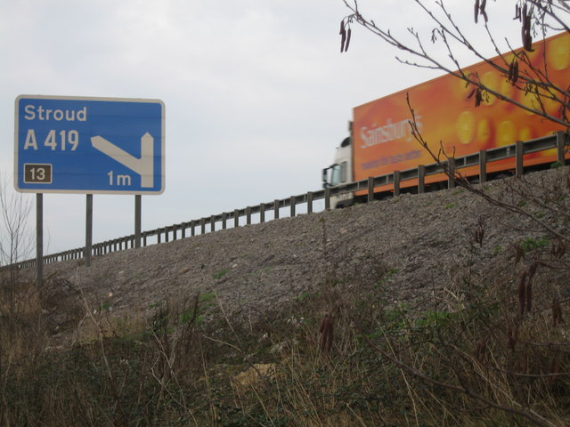
Alkerton is a village in Gloucestershire, England. It is located along the M5 motorway just east of the River Severn. It is part of the parish of Eastington...

Eastington, Stroud

Eastington is a village and civil parish in the Gloucestershire, England. It lies 4 miles west of Stroud and 9 miles south of Gloucester at the entrance...

Churchend, Eastington

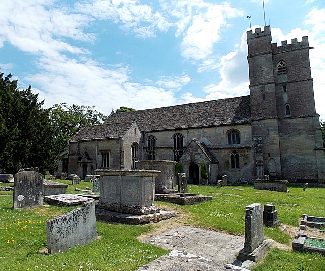
Churchend is a hamlet in Gloucestershire, England, 4 miles (6.4 km) west of Stroud. It is part of the civil parish of Eastington. The church of St Michael...

Eco Park (stadium)

Eco Park is a proposed stadium in Gloucestershire, England. If constructed, the stadium will be the home ground of Forest Green Rovers. It is reputedly...

The Gatehouse at Bonds Mill

The Gatehouse at Bonds Mill at Stonehouse, Gloucestershire, England, was constructed during World War II as a defensive pillbox as part of the Stop Line...

Five Acre Grove

Five Acre Grove (grid reference SO791043) is a 5-hectare (12-acre) nature reserve in Leonard Stanley, Gloucestershire. The site is listed in the 'Cotswold...

Frocester railway station

Frocester railway station served the village of Frocester in Gloucestershire, England. The station was on the Bristol and Gloucester Railway, originally...

Stonehouse (Bristol Road) railway station

Stonehouse (Bristol Road) railway station, also known as Stroudwater station after the nearby canal, was a station in Stonehouse, England, on the Bristol...

Nearby Amenities

Located within 500m of 51.74589,-2.330216
Eastington
Is In: Gloucestershire, England, UK
Place: village
Postal Code: GL10 3
Lat/Long: 51.7459163/-2.3270311
Pub
Kings Head
Addr Country: GB
Addr Postcode: GL10 3AA
Addr Street: Bath Road
Addr Town: Stonehouse
Addr Village: Eastington
Fhrs Id: 978994
Wikidata: Q26380792
Lat/Long: 51.7457758/-2.3279951
Pub
The Old Badger
Addr Country: GB
Addr Postcode: GL10 3AT
Addr Street: Springhill
Addr Town: Stonehouse
Addr Village: Eastington
Fhrs Id: 154233
Lat/Long: 51.7462457/-2.3241138
Public Bookcase
Community Book Swap
Booth: K6
Disused Amenity: telephone
Man Made: telephone_box
Public Bookcase Type: phone_box
Lat/Long: 51.7466295/-2.3240937
Post Box
Ref: GL10 164
Lat/Long: 51.7462077/-2.3274109
Post Office
Eastington Post Office
Addr City: Stonehouse
Addr Country: GB
Addr Postcode: GL10 3AA
Addr Street: Alkerton Road
Addr Village: Eastington
Brand: Post Office
Brand Wikidata: Q1783168
Opening Hours: Mo-Fr 09:00-17:30; Sa 09:00-13:00
Ref Pol Id: 12132
Website: https://www.postoffice.co.uk/branch-finder/3025233/eastington
Lat/Long: 51.7462553/-2.3275055
Bus Stop
Alkerton Cross
Naptan AtcoCode: 1600GL1759
Naptan Bearing: NW
Naptan CommonName: Alkerton Cross
Naptan NaptanCode: gloatdtj
Naptan Street: Claypits Rd
Naptan Verified: no
Source: naptan_import
Lat/Long: 51.7460479/-2.3279772
Bus Stop
Alkerton Cross
Naptan AtcoCode: 1600GL1760
Naptan Bearing: SE
Naptan CommonName: Alkerton Cross
Naptan NaptanCode: gloatdtg
Naptan Street: Claypits Rd
Naptan Verified: no
Source: naptan_import
Lat/Long: 51.7464778/-2.3283991
Bus Stop
Swallow Croft
Naptan AtcoCode: 1600GL1767
Naptan Bearing: NW
Naptan CommonName: Swallow Croft
Naptan Indicator: Opp
Naptan NaptanCode: gloatdwm
Naptan Street: Bath Rd
Naptan Verified: no
Source: naptan_import
Lat/Long: 51.7453135/-2.3269435
Bus Stop
Swallow Croft
Naptan AtcoCode: 1600GL1768
Naptan Bearing: SE
Naptan CommonName: Swallow Croft
Naptan NaptanCode: gloatdwp
Naptan Street: Bath Rd
Naptan Verified: no
Source: naptan_import
Lat/Long: 51.7452691/-2.3267549
Bus Stop
Alkerton Rd
Naptan AtcoCode: 1600GL1771
Naptan Bearing: W
Naptan CommonName: Victoria Inn
Naptan NaptanCode: gloatgaj
Naptan Street: Alkerton Rd
Naptan Verified: no
Source: naptan_import
Lat/Long: 51.7460566/-2.3248631
Bus Stop
Alkerton Rd
Naptan AtcoCode: 1600GL1772
Naptan Bearing: NE
Naptan CommonName: Victoria Inn
Naptan Indicator: Opp
Naptan NaptanCode: gloatgja
Naptan Street: Alkerton Rd
Naptan Verified: no
Source: naptan_import
Lat/Long: 51.7462645/-2.3244735
Green Farm
Landuse: farm
Note Retag: CS #48756035
Source: OS OpenData StreetView
Lat/Long: 51.7467346/-2.3318709
Alkerton Farm
Landuse: farm
Note Retag: CS #48756035
Source: OS OpenData StreetView
Lat/Long: 51.744769/-2.3273862
Alkerton
Place: hamlet
Source: OS OpenData StreetView
Wikidata: Q4727691
Lat/Long: 51.7475988/-2.3302616
Power: pole
Lat/Long: 51.7427264/-2.3352465
Power: pole
Lat/Long: 51.7489108/-2.3271745
Power: pole
Lat/Long: 51.7443274/-2.3342499
Power: pole
Lat/Long: 51.7486609/-2.3282648
Power: pole
Lat/Long: 51.7493745/-2.3297019
Power: pole
Lat/Long: 51.7435252/-2.3349515
Power: pole
Lat/Long: 51.7450739/-2.333578
Power: pole
Lat/Long: 51.7477911/-2.3311314
Power: pole
Lat/Long: 51.7491698/-2.3260721
Power: transformer
Lat/Long: 51.748352/-2.3312514
Power: pole
Lat/Long: 51.7473091/-2.3315733
Power: pole
Lat/Long: 51.7452749/-2.3289083
Power: pole
Lat/Long: 51.7485629/-2.3304345
Power: pole
Lat/Long: 51.7486833/-2.3309161
Power: pole
Lat/Long: 51.7494322/-2.3301142
Power: pole
Lat/Long: 51.7490378/-2.3291673
Power: pole
Lat/Long: 51.7465344/-2.3322586
Power: pole
Lat/Long: 51.7458478/-2.3328862
Information: guidepost
Lat/Long: 51.7459919/-2.3276011
Defibrillator
Emergency: defibrillator
Lat/Long: 51.7474047/-2.3343164
Atm
Operator: Cashzone
Lat/Long: 51.7461962/-2.327458
Community Centre
Lat/Long: 51.746525/-2.3234757
Defibrillator
Emergency: defibrillator
Indoor: no
Lat/Long: 51.7462052/-2.3242947
The data included in this document is from www.openstreetmap.org. The data is made available under ODbL.

Have you been to Alkerton?

Leave your review of Alkerton below (or comments, questions and feedback).