Acres Hill
Hill, Mountain in Somerset Mendip
England
Acres Hill
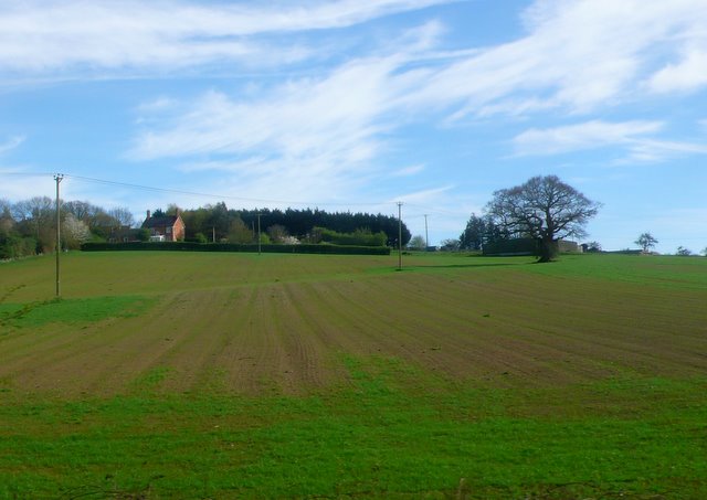
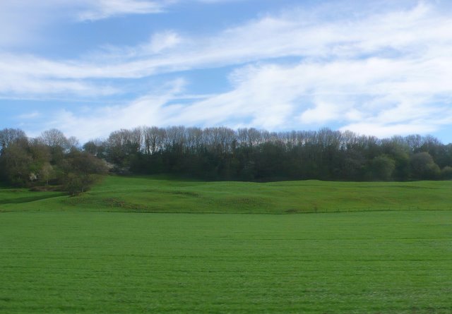
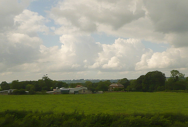
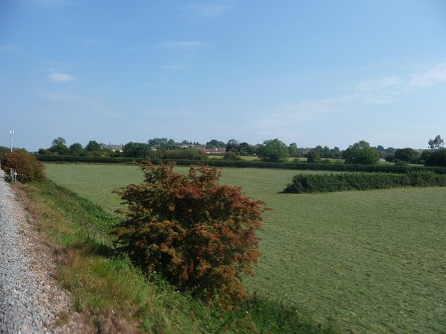
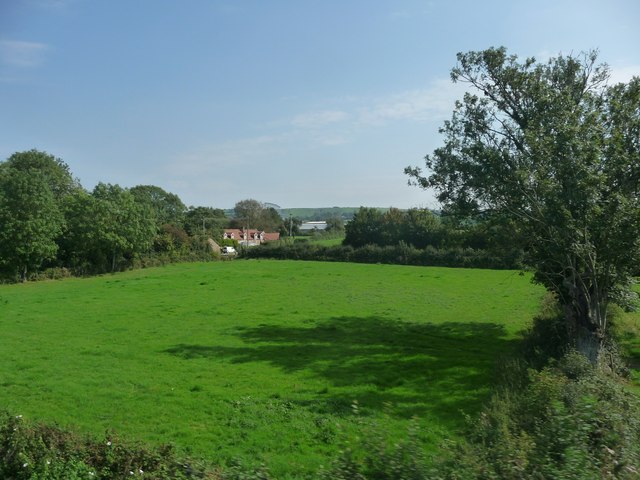
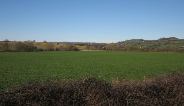
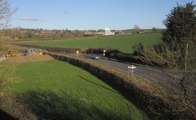
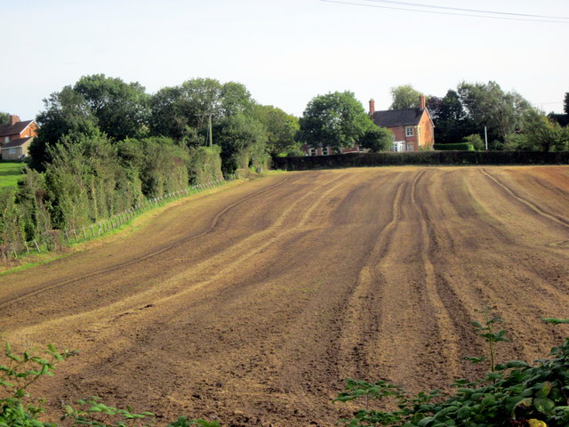
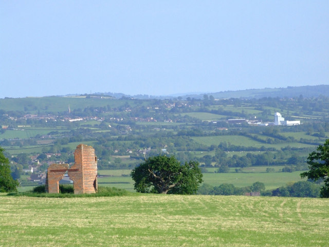
Acres Hill is a prominent hill located in the county of Somerset, England. Situated in the beautiful Mendip Hills, it offers breathtaking views of the surrounding countryside. With an elevation of approximately 250 meters (820 feet), it is often referred to as a mountain due to its significant height in relation to the surrounding landscape.
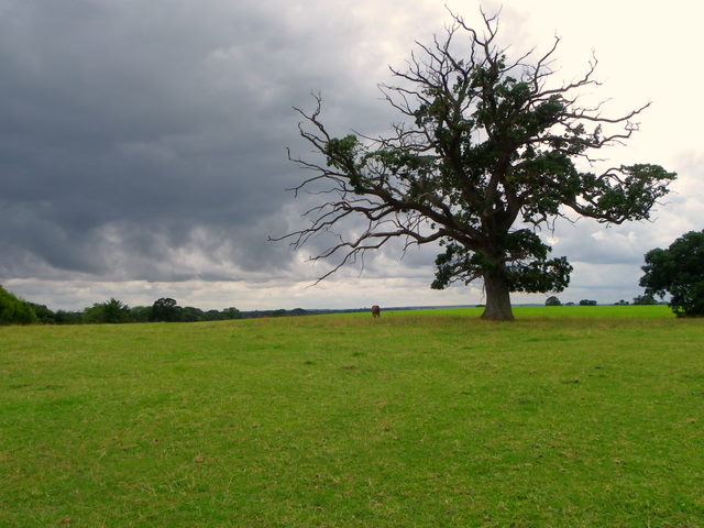
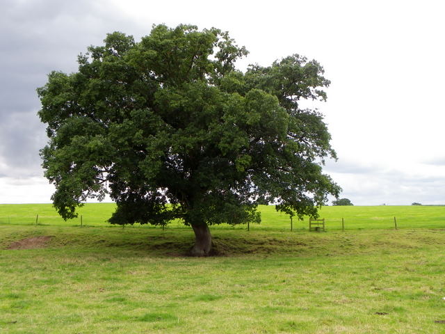
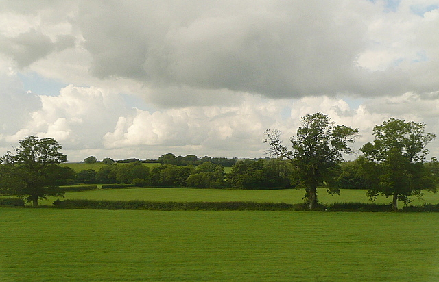
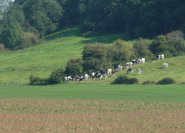
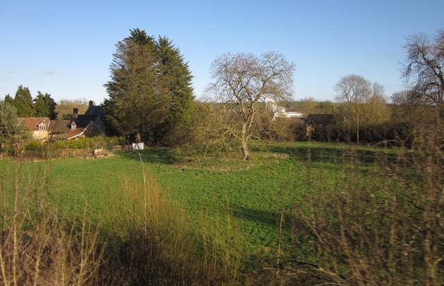
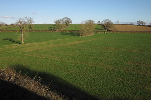
Covered in lush greenery and dotted with rocky outcrops, Acres Hill presents a stunning display of natural beauty. Its slopes are adorned with a variety of flora and fauna, making it a haven for nature enthusiasts and hikers. The hill is part of a designated Area of Outstanding Natural Beauty, further highlighting its significance in terms of environmental preservation.
At the summit of Acres Hill, visitors are rewarded with panoramic vistas that stretch as far as the eye can see. On a clear day, one can see the distant hills, valleys, and even glimpses of the Bristol Channel. This makes it a popular spot for photographers, painters, and those seeking a tranquil escape from the bustle of everyday life.
The area surrounding Acres Hill also boasts a rich history. Archaeological remains indicate human activity in the area dating back thousands of years. Visitors can explore ancient burial mounds and stone circles, gaining insight into the lives of the past inhabitants of Somerset.
Whether it's for a leisurely stroll, a challenging hike, or simply to soak in the natural beauty, Acres Hill offers a memorable experience for all who venture to its summit.
If you have any feedback on the listing, please let us know in the comments section below.
Acres Hill Images
Images are sourced within 2km of 51.105345/-2.5344405 or Grid Reference ST6234. Thanks to Geograph Open Source API. All images are credited.
Acres Hill is located at Grid Ref: ST6234 (Lat: 51.105345, Lng: -2.5344405)
Administrative County: Somerset
District: Mendip
Police Authority: Avon and Somerset
What 3 Words
///cleansed.shaped.woven. Near Castle Cary, Somerset
Nearby Locations
Related Wikis

Alhampton Mission Church
Alhampton Mission Church is a Church of England church in Alhampton, Somerset, England. The tin tabernacle was erected in 1892 and now forms part of the...
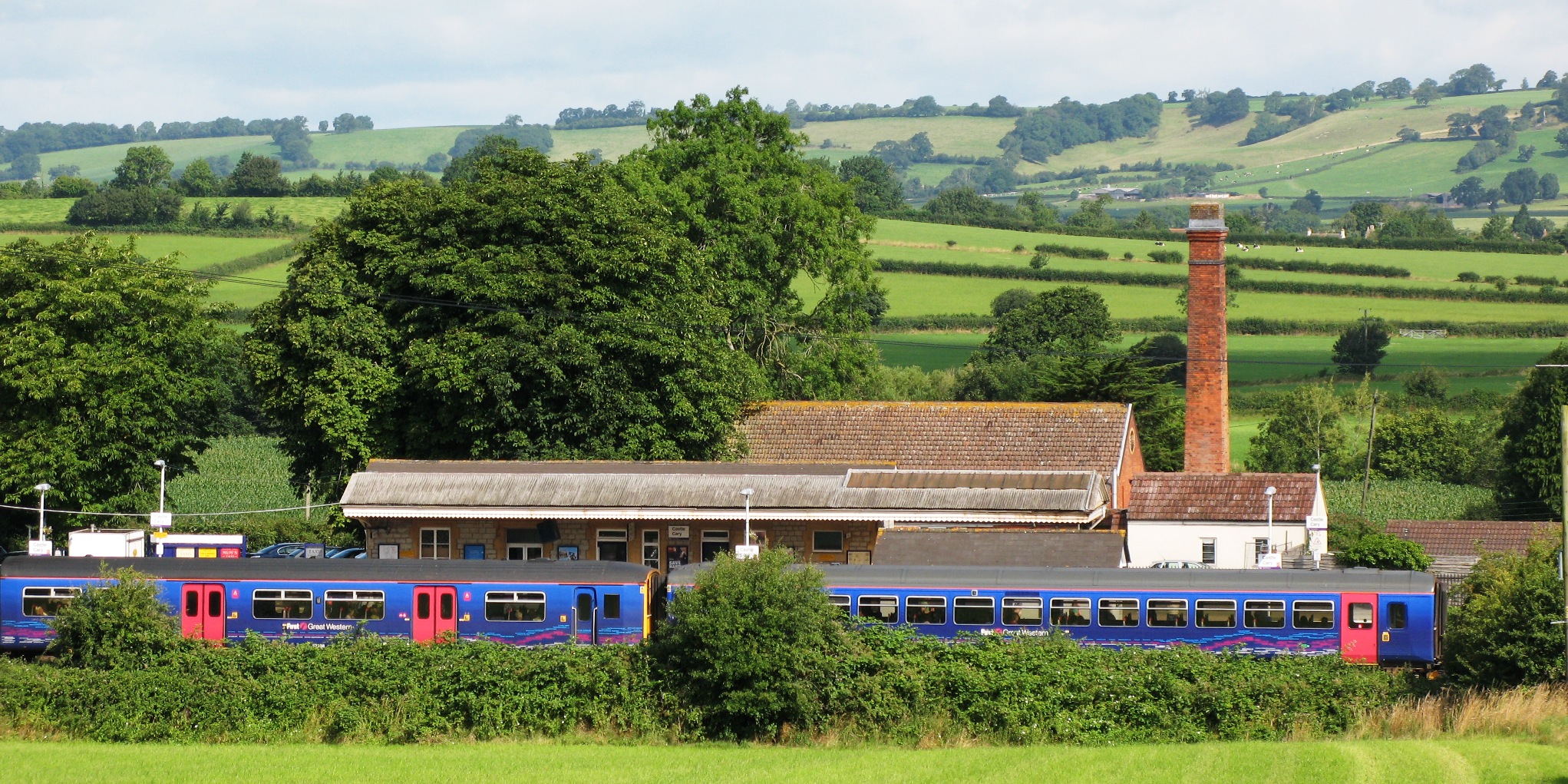
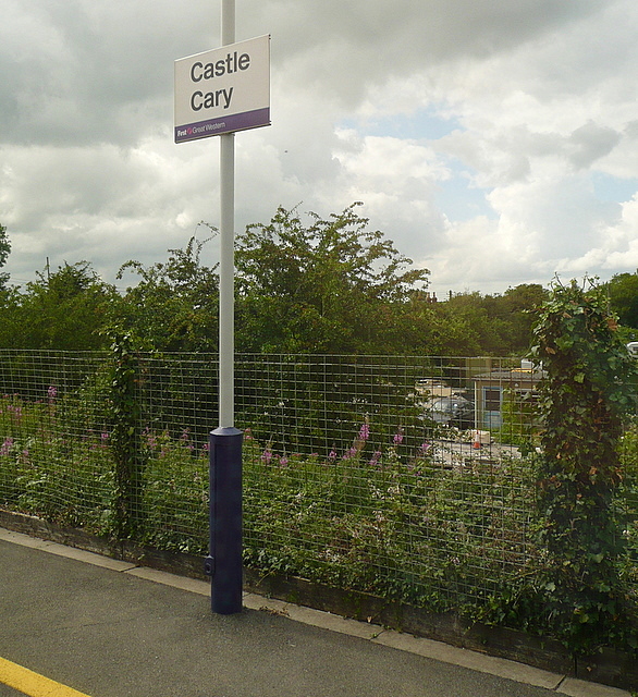
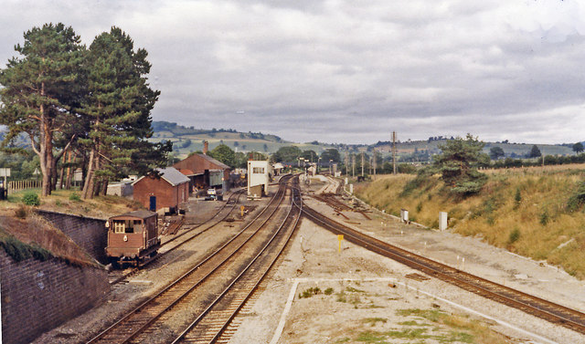
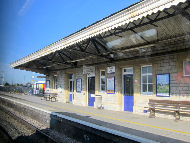
Castle Cary railway station
Castle Cary railway station is on the Reading to Taunton line 115.25 miles (185.48 km) south west of London Paddington and the Bristol to Weymouth line...

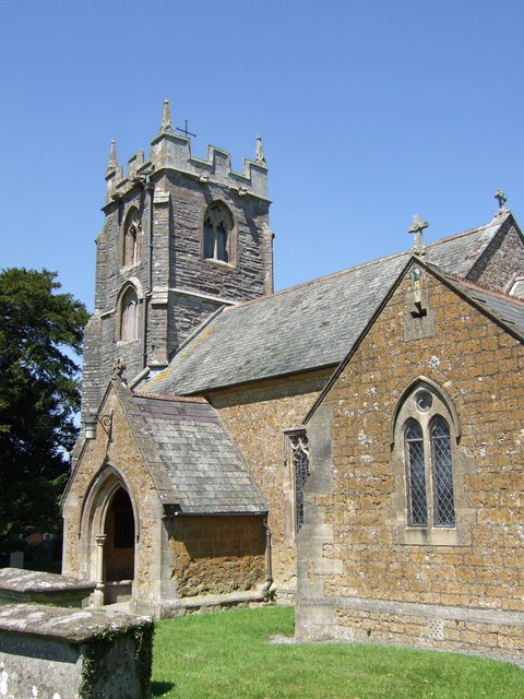
Church of St Andrew, Ansford
The Church of St Andrew in Ansford, Somerset, England, was built in the 15th century. It is a Grade II* listed building. == History == The tower remains...

Somerton and Frome (UK Parliament constituency)
Somerton and Frome is a constituency in Somerset represented in the House of Commons of the UK Parliament since 2023 by Sarah Dyke of the Liberal Democrats...
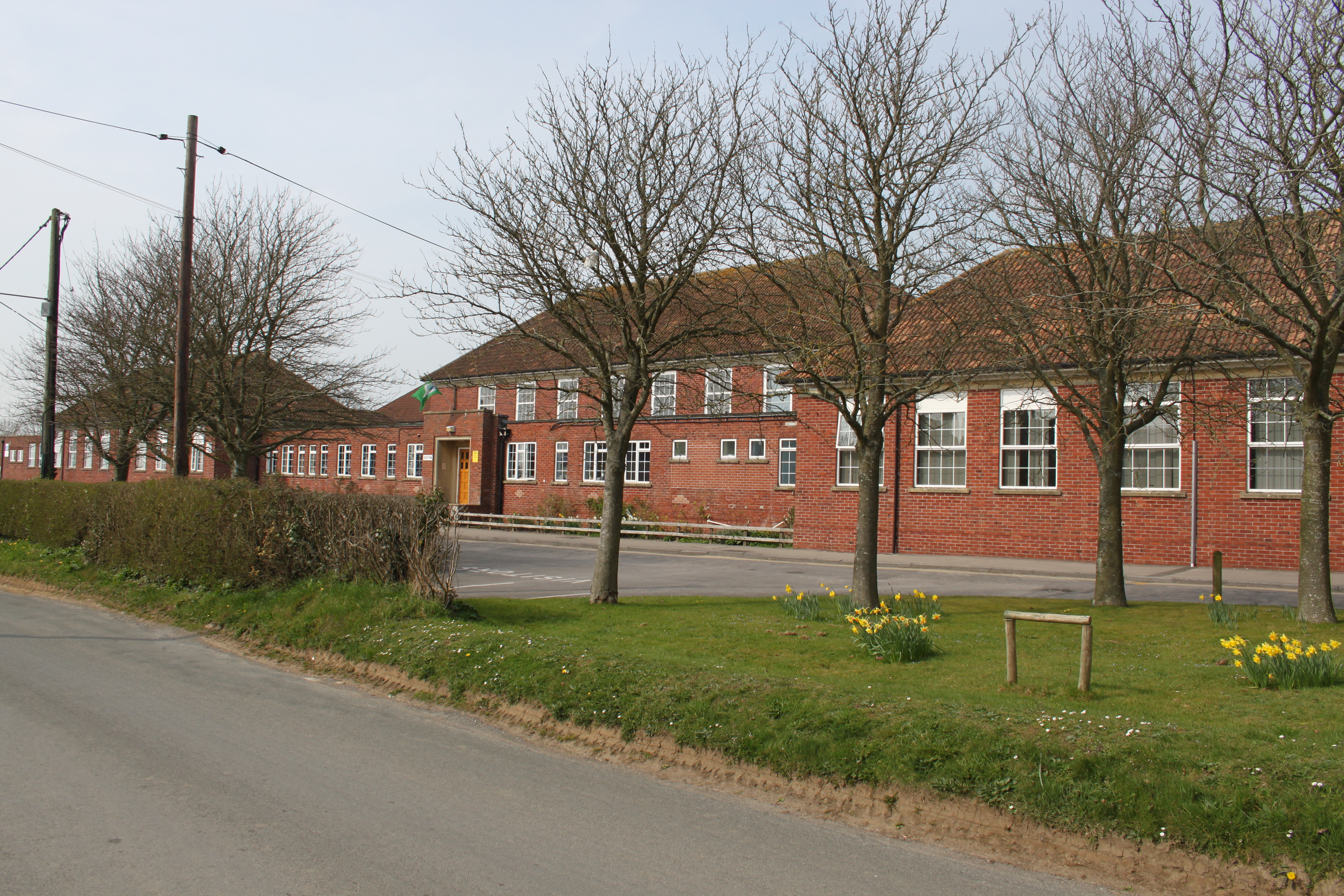
Ansford Academy
Ansford Academy, previously known as Ansford School, is a school located in Ansford, which lies on the northern edge of Castle Cary in Somerset, England...
Ansford
Ansford is a village and civil parish in Somerset, England, situated on the northern edge of Castle Cary. The civil parish has a population of approximately...
The Abbey, Ditcheat
The Abbey, Ditcheat (formerly known as The Priory) is a large house at Ditcheat in Somerset. Originally a rectory, now converted into a house, the Grade...

Ditcheat
Ditcheat is a village and civil parish 4.5 miles (7 km) south of Shepton Mallet, and 2.5 miles (4 km) north-west of Castle Cary, in Somerset, England....
Nearby Amenities
Located within 500m of 51.105345,-2.5344405Have you been to Acres Hill?
Leave your review of Acres Hill below (or comments, questions and feedback).