Easton Hill
Hill, Mountain in Somerset Mendip
England
Easton Hill
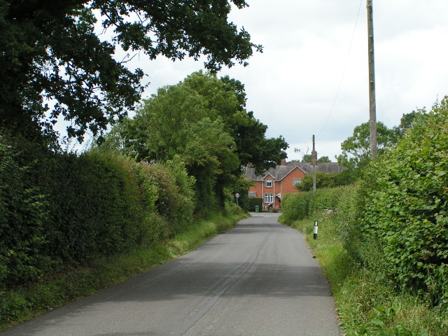
Easton Hill is a prominent natural feature located in the picturesque county of Somerset, England. Rising to an elevation of approximately 250 meters (820 feet), Easton Hill is classified as a hill due to its moderate height and gentle slopes. It is situated in close proximity to the village of Easton, hence the name.
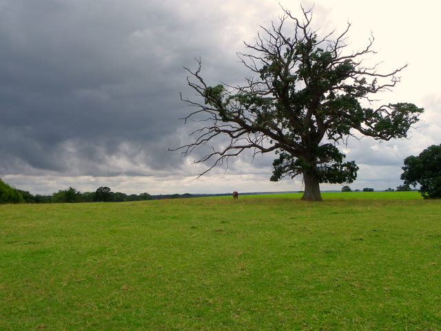
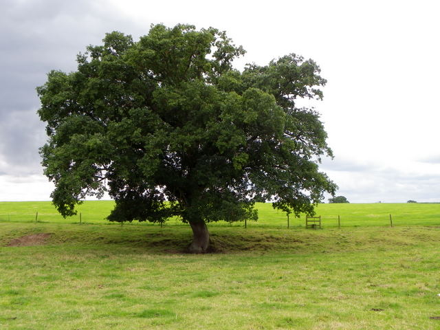
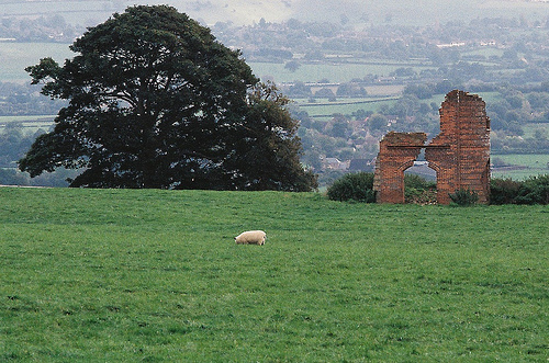
The hill is part of the larger Mendip Hills range, which is renowned for its stunning landscapes and rich geological heritage. Easton Hill is predominantly composed of limestone, a characteristic feature of the area. The limestone outcrops on the hill contribute to its distinct appearance and create a habitat for various flora and fauna.
The summit of Easton Hill offers breathtaking panoramic views of the surrounding countryside, including lush green meadows, rolling hills, and small villages nestled in the valleys. On clear days, it is possible to see as far as the Bristol Channel and the Welsh coastline.
Easton Hill is a popular destination for outdoor enthusiasts, hikers, and nature lovers. The hill is traversed by a network of footpaths and trails, allowing visitors to explore its scenic beauty and immerse themselves in the tranquility of the countryside. Wildlife enthusiasts may also spot a diverse range of species, including songbirds, butterflies, and even the occasional deer or fox.
Overall, Easton Hill in Somerset offers a serene escape from the hustle and bustle of everyday life, providing an opportunity to connect with nature and enjoy the unparalleled beauty of the English countryside.
If you have any feedback on the listing, please let us know in the comments section below.
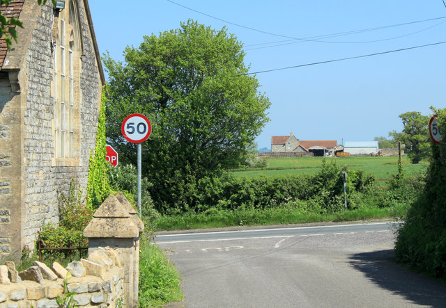
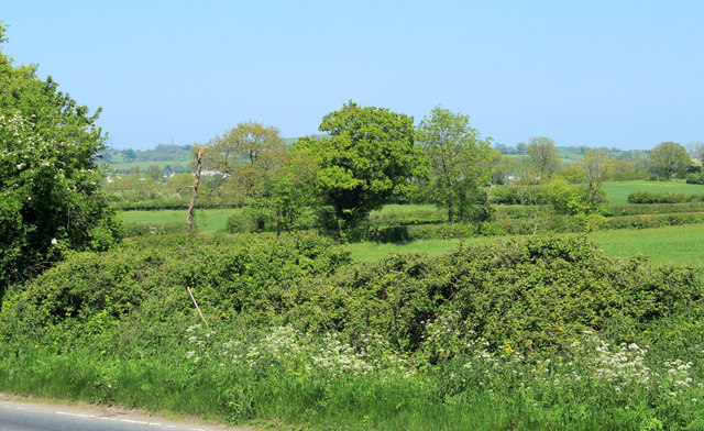
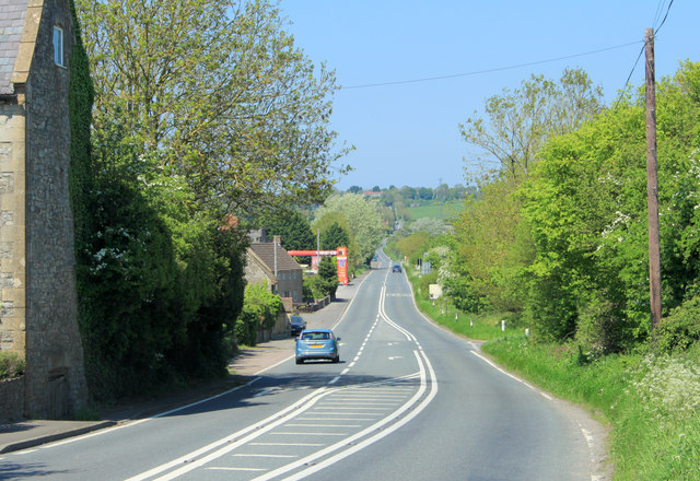
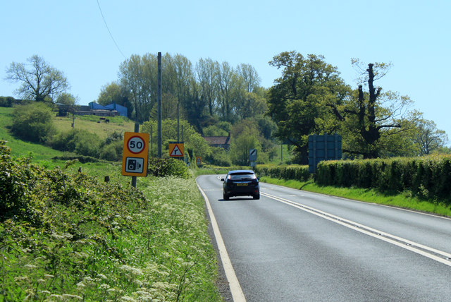
Easton Hill Images
Images are sourced within 2km of 51.135332/-2.534801 or Grid Reference ST6237. Thanks to Geograph Open Source API. All images are credited.


Easton Hill is located at Grid Ref: ST6237 (Lat: 51.135332, Lng: -2.534801)
Administrative County: Somerset
District: Mendip
Police Authority: Avon and Somerset
What 3 Words
///pillow.deeper.butternut. Near Evercreech, Somerset
Nearby Locations
Related Wikis

Ditcheat
Ditcheat is a village and civil parish 4.5 miles (7 km) south of Shepton Mallet, and 2.5 miles (4 km) north-west of Castle Cary, in Somerset, England....
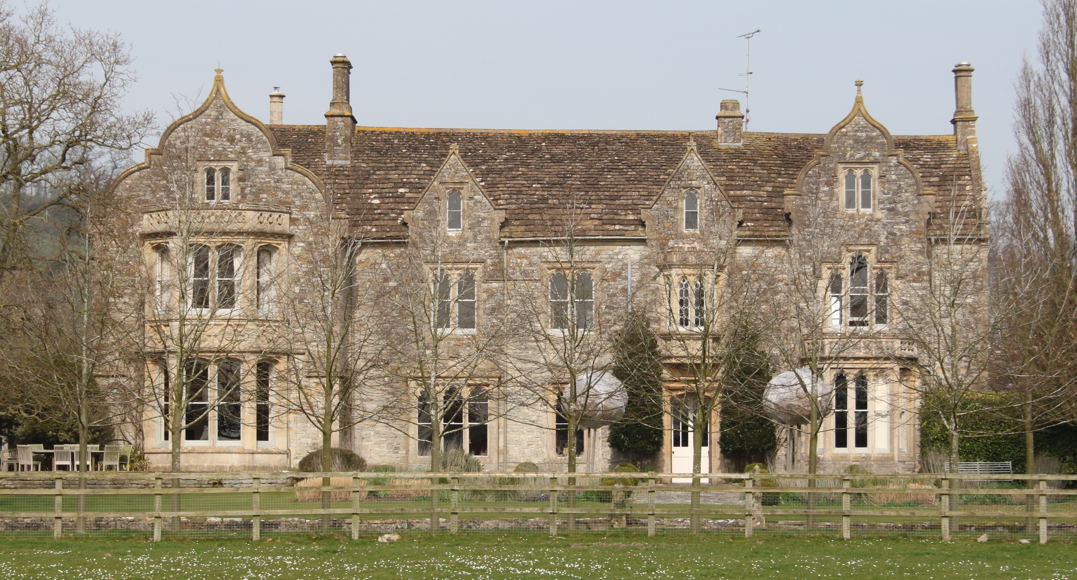
The Abbey, Ditcheat
The Abbey, Ditcheat (formerly known as The Priory) is a large house at Ditcheat in Somerset. Originally a rectory, now converted into a house, the Grade...
Evercreech Junction railway station
Evercreech Junction was a railway station at Evercreech on the Somerset and Dorset Joint Railway. Originally opened in 1862 as "Evercreech" on the original...

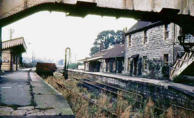
Pylle railway station
Pylle railway station was a station on the Highbridge branch of the Somerset and Dorset Joint Railway. Opened 3 February 1862 on the original S&DJR main...
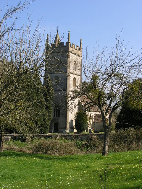
Church of St Thomas à Becket, Pylle
The Anglican Church of St Thomas à Becket in Pylle, Somerset, England, was built in the 15th century. It is a Grade II* listed building. == History... ==

Evercreech New railway station
Evercreech New, originally called "Evercreech Village", was a railway station at Evercreech on the Somerset and Dorset Joint Railway. The station opened...

Evercreech
Evercreech is a village and civil parish in Somerset, England. The village is 3 miles (4.8 km) southeast of Shepton Mallet, and 5 miles (8.0 km) northeast...
Pylle
Pylle is a village and civil parish 4 miles (6.4 km) south west of Shepton Mallet, and 7 miles (11.3 km) from Wells, in the Mendip district of Somerset...
Have you been to Easton Hill?
Leave your review of Easton Hill below (or comments, questions and feedback).