Sims' Hill
Hill, Mountain in Gloucestershire
England
Sims' Hill

Sims' Hill is a prominent landmark located in Gloucestershire, England. Situated on the outskirts of the bustling city of Bristol, this hill is a part of the beautiful landscape of the region. Known for its natural beauty and picturesque surroundings, Sims' Hill is a popular destination for hikers, nature enthusiasts, and photographers.
Rising to an elevation of approximately 100 meters (330 feet), Sims' Hill offers breathtaking panoramic views of the surrounding countryside. Covered with lush green vegetation, the hill creates a stunning contrast against the clear blue skies. It is a perfect spot to escape from the city's hustle and bustle and immerse oneself in the tranquility of nature.
The hill is home to a diverse range of flora and fauna, making it an ideal habitat for many species. The area is rich in biodiversity, with various plants, wildflowers, and trees adorning its slopes. It also provides a sanctuary for different bird species, making it a birdwatcher's paradise.
Sims' Hill is easily accessible, with well-marked trails and footpaths leading to its summit. Visitors can enjoy a leisurely stroll or a challenging hike, depending on their preferences and fitness levels. The hill is often frequented by outdoor enthusiasts seeking an escape into nature, families looking for a day out, and even artists seeking inspiration.
Overall, Sims' Hill in Gloucestershire is an enchanting destination that offers a perfect blend of natural beauty, tranquility, and recreational opportunities. Whether one wishes to embrace the stunning views, explore the diverse flora and fauna, or simply unwind in the peaceful surroundings, Sims' Hill is a place that captivates and rejuvenates all who visit.
If you have any feedback on the listing, please let us know in the comments section below.
Sims' Hill Images
Images are sourced within 2km of 51.497953/-2.5389209 or Grid Reference ST6277. Thanks to Geograph Open Source API. All images are credited.


Sims' Hill is located at Grid Ref: ST6277 (Lat: 51.497953, Lng: -2.5389209)
Unitary Authority: South Gloucestershire
Police Authority: Avon and Somerset
What 3 Words
///bought.purely.slime. Near Stoke Gifford, Gloucestershire
Nearby Locations
Related Wikis

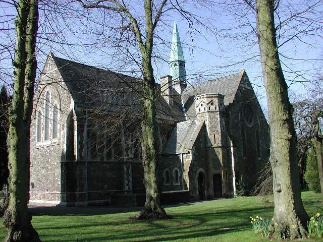
Stoke Park Hospital
Stoke Park Hospital, was a large hospital for the mental handicapped, closed circa 1997, situated on the north-east edge of Bristol, England, just within...
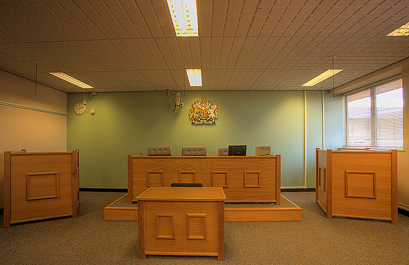
Bristol Law School
Bristol Law School (BLS), formerly known as the Faculty of Law, is an academic school at the University of the West of England. This is different from...
University of the West of England
The University of the West of England (also known as UWE Bristol) is a public research university, located in and around Bristol, England, UK. With more...
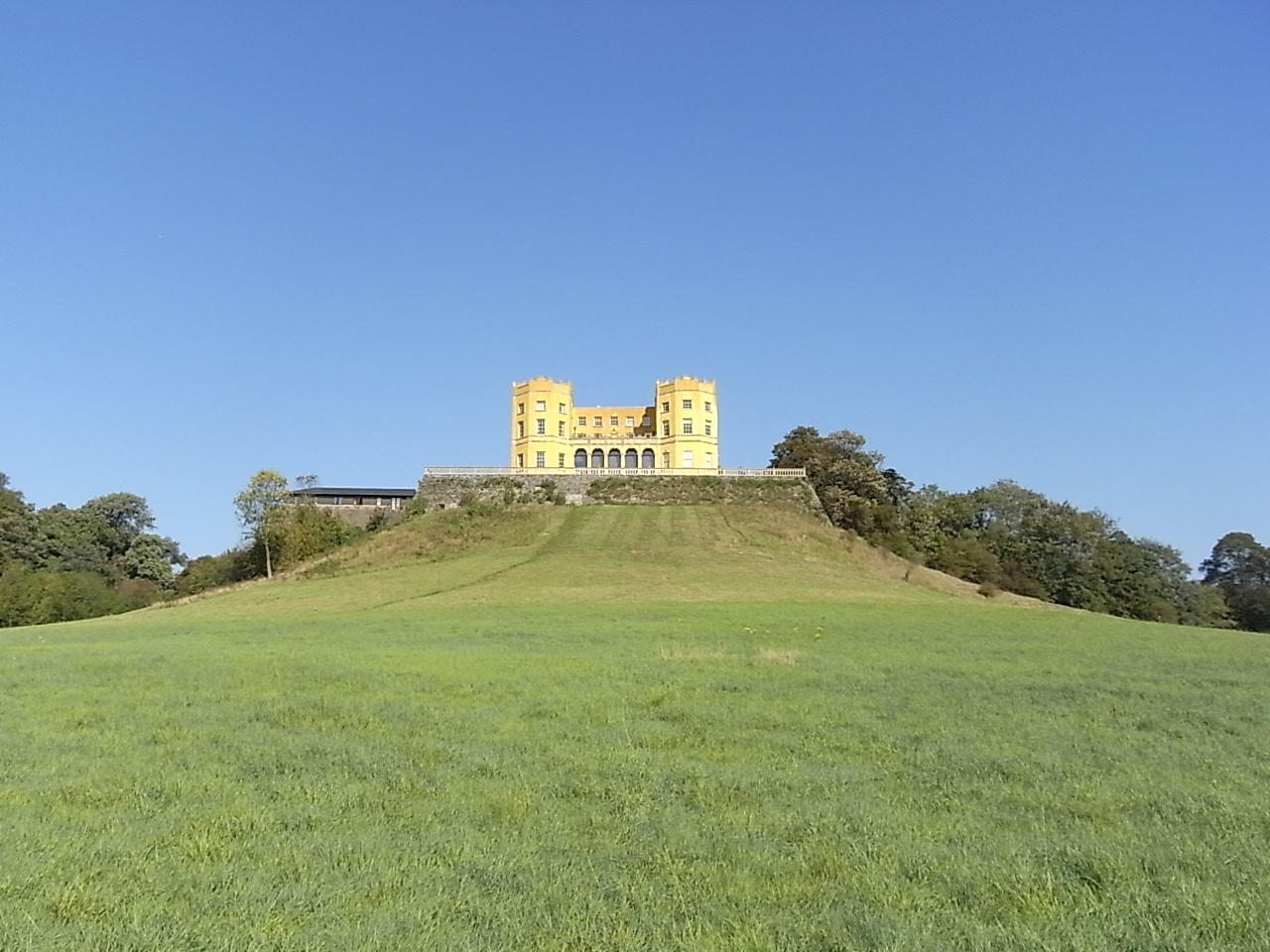
The Dower House, Stoke Park
The Dower House, Stoke Park is a dower house in Bristol, England. It is one of Bristol's more prominent landmarks, set on Purdown, a hill above the M32...
Related Videos

4* Holiday Inn Bristol Filton 400 Migrants Are Housed In A 211 Bed Hotel. Asking For Trouble
Thanks for watching the video. If you really enjoyed it then hit the LIKE button, COMMENT your suggestions, SHARE it with your ...

Relaxing Walk with Nature Sounds | Go on a walk with me
Hello lovelies, thanks for clicking this video. Watch this whenever you struggle to sleep or just want to be one with nature. Enjoy a ...

Holiday Inn Filton Police/Residents interview Video (Read Description)
Thanks for watching the video. If you really enjoyed it then hit the LIKE button, COMMENT your suggestions, SHARE it with your ...
Nearby Amenities
Located within 500m of 51.497953,-2.5389209Have you been to Sims' Hill?
Leave your review of Sims' Hill below (or comments, questions and feedback).