Brumby

Settlement in Lincolnshire

England

Brumby

New housing, Old Coal Yard, Ashby
New housing, Old Coal Yard, Ashby Credit: Jonathan Thacker

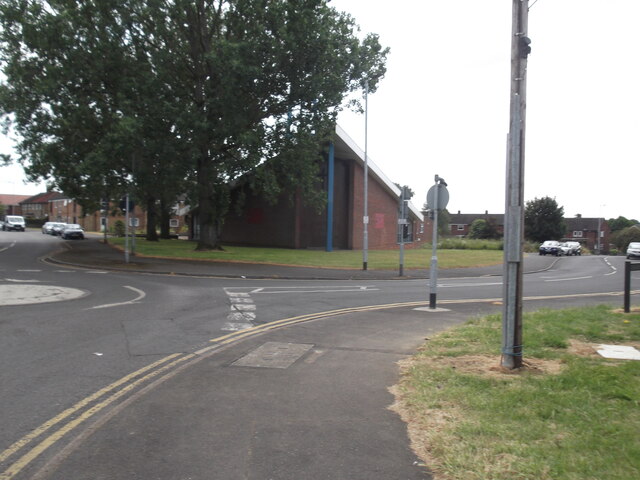
Brumby is a small village located in the county of Lincolnshire, in the East Midlands region of England. Situated approximately 3 miles north of the town of Scunthorpe, it falls within the North Lincolnshire unitary authority.

With a population of around 2,500 residents, Brumby is a close-knit community that offers a peaceful and tranquil environment. The village is characterized by its picturesque countryside surroundings and a charming blend of traditional and modern architecture. Its quaint streets are lined with a mix of cottages, terraced houses, and larger family homes.

Brumby benefits from a range of local amenities, including a primary school, village hall, and a few small shops. For additional services and facilities, residents can easily access the nearby town of Scunthorpe, which offers a wider range of shopping, leisure, and healthcare options.

Nature enthusiasts will find plenty to explore in the vicinity of Brumby. The village is surrounded by beautiful countryside, offering opportunities for walking, cycling, and outdoor activities. The nearby Scunthorpe and District Angling Association provides fishing opportunities along the River Trent, which runs close to the village.

Transport links in Brumby are well-connected, with regular bus services to Scunthorpe and other nearby towns. The village is also conveniently located near the M181 motorway, providing easy access to larger cities such as Hull, Doncaster, and Leeds.

Overall, Brumby offers a peaceful and idyllic village lifestyle while still providing access to the amenities and conveniences of nearby towns and cities.

If you have any feedback on the listing, please let us know in the comments section below.
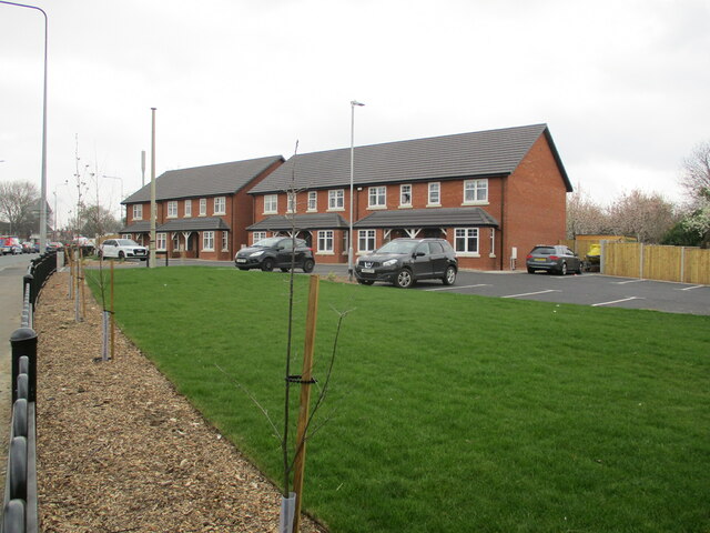
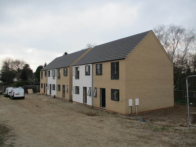
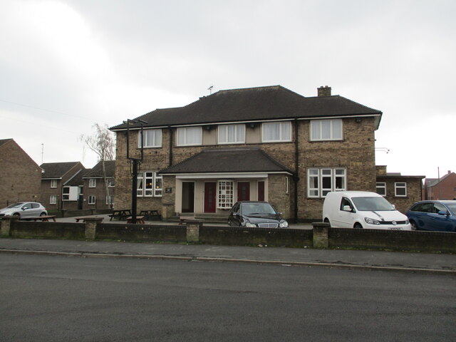
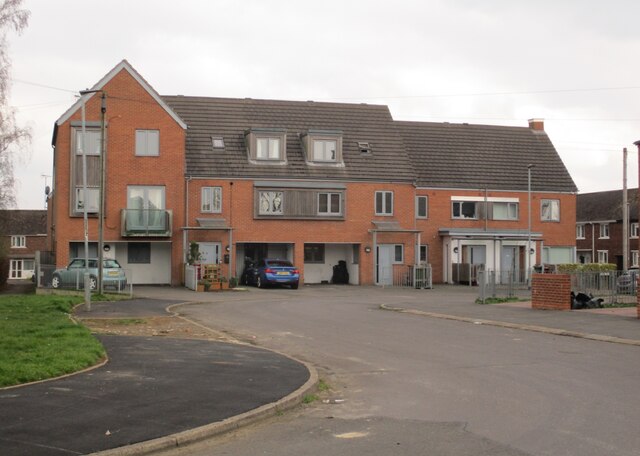
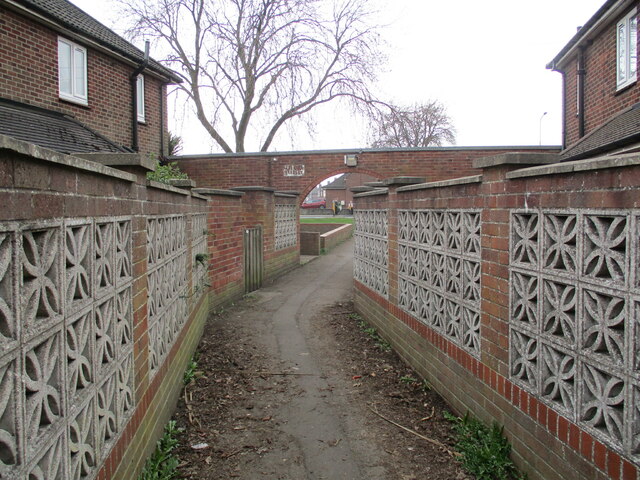
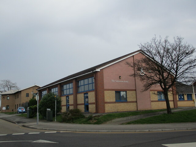
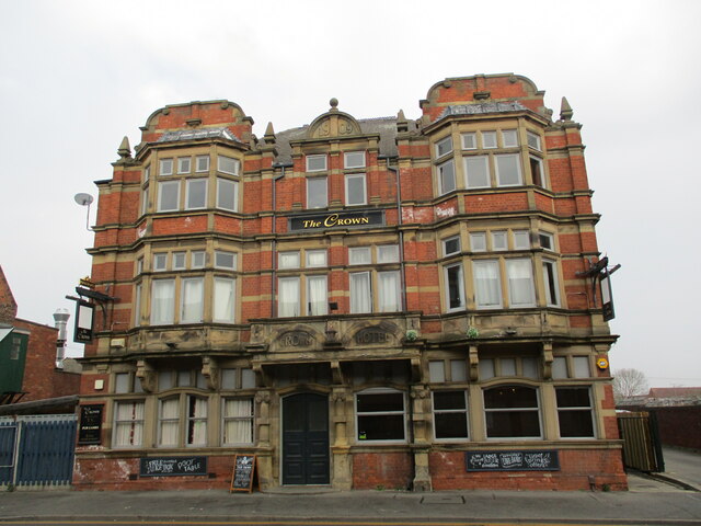
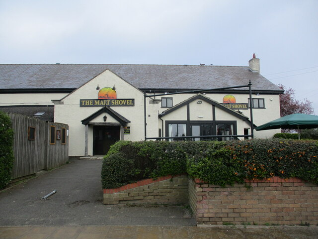
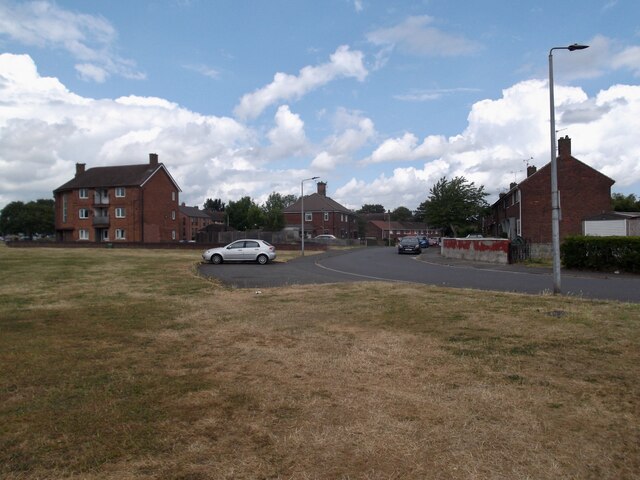
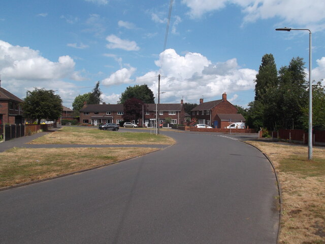
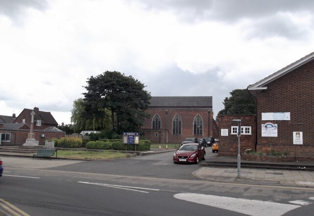
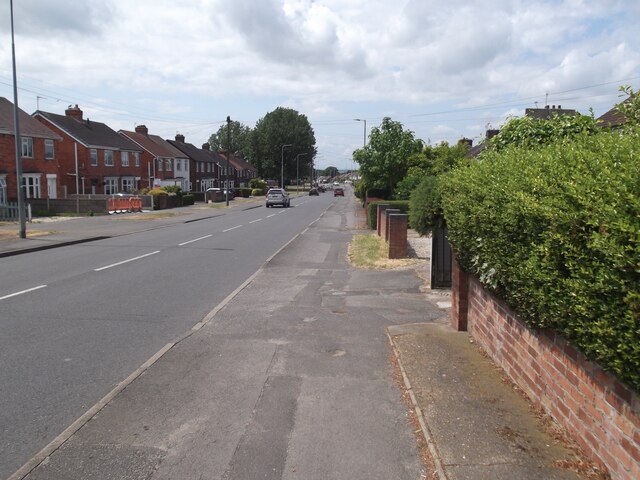
Brumby Images

Images are sourced within 2km of 53.5757/-0.6504 or Grid Reference SE8909. Thanks to Geograph Open Source API. All images are credited.

New housing, Old Coal Yard, Ashby
New housing on an as yet unbuilt and unnamed road, Ashby
The Queen Bess, Ashby
Housing on the site of the former St. Catherine's church, Ashby
Footpath to Grange Lane South, Ashby
Salvation Army, Ashby
The Crown Hotel, Ashby High Street Bears a datestone 1909.
The Crown Hotel, Ashby High Street
Bears a datestone 1909.
The Malt Shovel, Ashby High Street
St. John's Market, Scunthorpe Built as a branch of Woolworth's which quickly closed and now the site of Scunthorpe's indoor market.
St. John's Market, Scunthorpe
Built as a branch of Woolworth's which quickly closed and now the site of Scunthorpe's indoor market.
Work underway on the redesign of Church Square, Scunthorpe Set to become an urban park.
Work underway on the redesign of Church Square, Scunthorpe
Set to become an urban park.
Bellingham Road
Bellingham Road
Bellingham Road
Bellingham Road
St Paul's Church, Ashby
Burringham Road, Ashby
Church of the Holy Spirit, Ashby
Church Square, Scunthorpe The result of the redesign of 2022 <a href="https://www.geograph.org.uk/photo/7131459">SE8911 : Work underway on the redesign of Church Square, Scunthorpe</a>
Church Square, Scunthorpe
Redevelopment of former Scunthorpe market site A £13.9m scheme to provide office space and accommodation for NHS workers.
Redevelopment of former Scunthorpe market site
A £13.9m scheme to provide office space and accommodation for NHS workers.
The north side of Church Square, Scunthorpe
Show me another place!

Brumby is located at Grid Ref: SE8909 (Lat: 53.5757, Lng: -0.6504)

Division: Parts of Lindsey

Unitary Authority: North Lincolnshire

Police Authority: Humberside

What 3 Words

///frost.rooms.taps. Near Scunthorpe, Lincolnshire

Related Wikis

Outwood Academy Brumby

Outwood Academy Brumby (formerly Brumby Comprehensive School and Brumby Engineering College), is a mixed secondary school with academy status, in Scunthorpe...

Scunthorpe

Scunthorpe () is an industrial town in the North Lincolnshire district of Lincolnshire, England. It is Lincolnshire's third most populous settlement, after...

Scunthorpe Civic Centre

Scunthorpe Civic Centre, also known as Pittwood House, is a municipal building in Ashby Road in Scunthorpe, a town in Lincolnshire in England. The building...
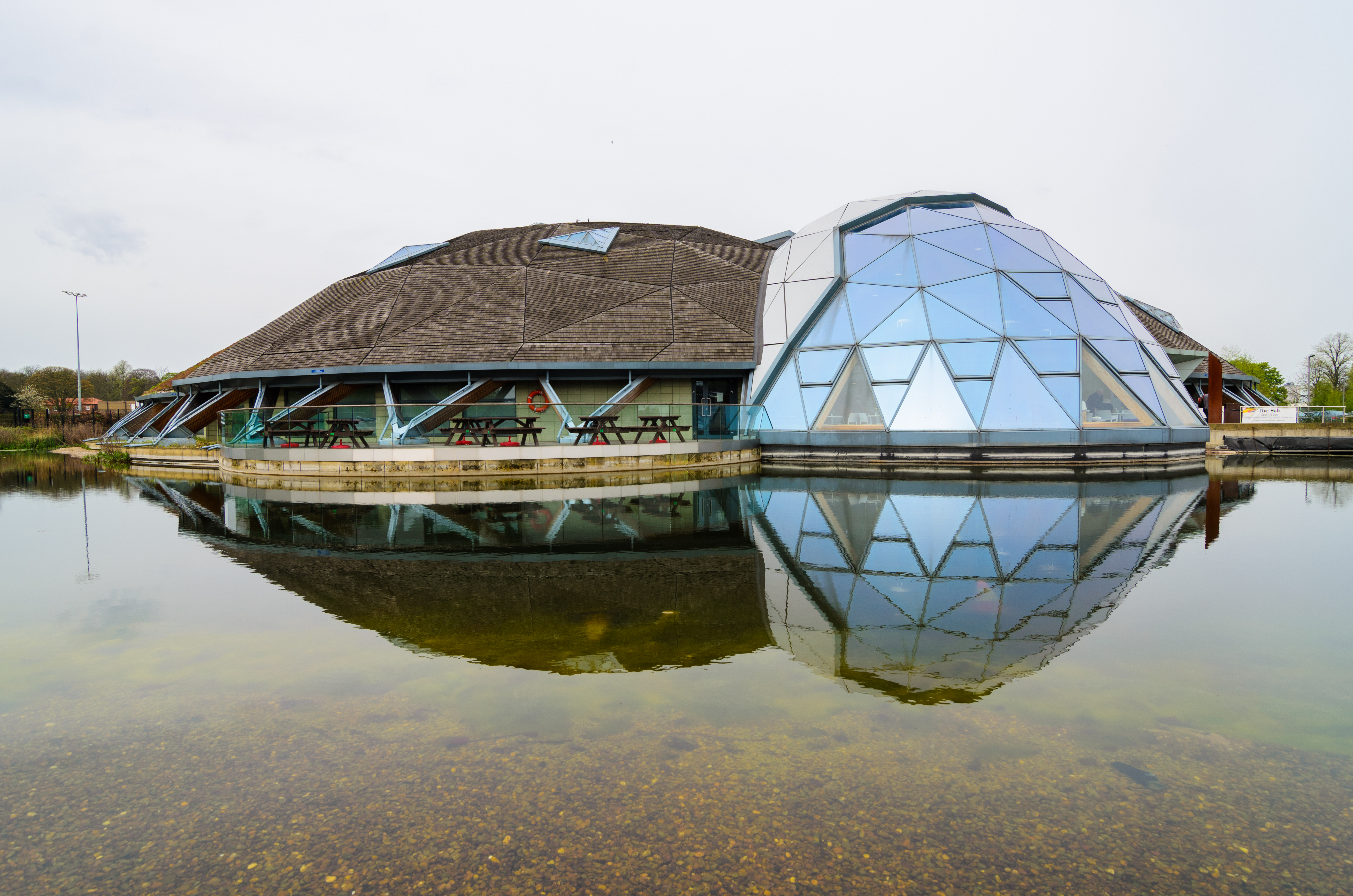
The Pods

The Pods is a leisure centre in Scunthorpe, North Lincolnshire, England. The leisure centre offers a wide range of modern facilities, including two swimming...

Nearby Amenities

Located within 500m of 53.5757,-0.6504
Old Brumby
Alt Name: Brumby
Place: suburb
Source: Bing
Lat/Long: 53.5762585/-0.6531773
Traffic Signals
Lat/Long: 53.5752037/-0.6560688
Mini Roundabout
Direction: clockwise
Lat/Long: 53.5756448/-0.6502204
Crossing
Crossing: traffic_signals
Lat/Long: 53.5765376/-0.6467979
Bus Stop
Alvingham Road
Alt Name: Collum Avenue
Naptan AltCommonName: Collum Avenue
Naptan AltIndicator: adj jct
Naptan AltStreet: Alvingham Road
Naptan AtcoCode: 227000010340
Naptan Bearing: W
Naptan CommonName: Alvingham Road
Naptan Indicator: o/s 26
Naptan NaptanCode: scupjaw
Naptan Street: Alvingham Road
Naptan Verified: no
Source: naptan_import
Lat/Long: 53.5732873/-0.6454702
Bus Stop
Day Centre
Alt Name: Gloucester Avenue
Naptan AltCommonName: Gloucester Avenue
Naptan AltIndicator: adj
Naptan AltStreet: Alvingham Road
Naptan AtcoCode: 227000010341
Naptan Bearing: E
Naptan CommonName: Day Centre
Naptan Indicator: opp
Naptan NaptanCode: scupmaw
Naptan Street: Alvingham Road
Naptan Verified: no
Source: naptan_import
Lat/Long: 53.5733692/-0.6479444
Bus Stop
Day Centre
Alt Name: Peterborough Road
Naptan AltCommonName: Peterborough Road
Naptan AltIndicator: adj
Naptan AltStreet: Alvingham Road
Naptan AtcoCode: 227000010342
Naptan Bearing: W
Naptan CommonName: Day Centre
Naptan Indicator: o/s
Naptan NaptanCode: scuptaw
Naptan Street: Alvingham Road
Naptan Verified: no
Source: naptan_import
Lat/Long: 53.5732986/-0.6483905
Bus Stop
Lloyds Avenue
Alt Name: Rugby Club
Naptan AltCommonName: Rugby Club
Naptan AltIndicator: opp
Naptan AltStreet: Ashby Road
Naptan AtcoCode: 227000010365
Naptan Bearing: N
Naptan CommonName: Lloyds Avenue
Naptan Indicator: adj
Naptan NaptanCode: scugmda
Naptan Street: Ashby Road
Naptan Verified: no
Source: naptan_import
Lat/Long: 53.5773223/-0.6549324
Bus Stop
Lloyds Avenue
Alt Name: Rugby Club
Naptan AltCommonName: Rugby Club
Naptan AltIndicator: o/s
Naptan AltStreet: Ashby Road
Naptan AtcoCode: 227000010366
Naptan Bearing: S
Naptan CommonName: Lloyds Avenue
Naptan Indicator: opp
Naptan NaptanCode: scugpda
Naptan Street: Ashby Road
Naptan Verified: no
Source: naptan_import
Lat/Long: 53.5774636/-0.6547014
Bus Stop
Hopkins Avenue
Naptan AtcoCode: 227000010367
Naptan Bearing: N
Naptan CommonName: Hopkins Avenue
Naptan Indicator: adj
Naptan NaptanCode: scugtda
Naptan Street: Ashby Road
Naptan Verified: no
Source: naptan_import
Lat/Long: 53.5725808/-0.6553548
Bus Stop
Hopkins Avenue
Alt Name: Ashby Road
Naptan AltCommonName: Ashby Road
Naptan AltIndicator: o/s 220
Naptan AltStreet: Ashby Road
Naptan AtcoCode: 227000010368
Naptan Bearing: S
Naptan CommonName: Hopkins Avenue
Naptan Indicator: opp
Naptan NaptanCode: scugwda
Naptan Street: Ashby Road
Naptan Verified: no
Source: naptan_import
Lat/Long: 53.5723083/-0.6551067
Bus Stop
Brumby Corner
Alt Name: Post Office;Post Office;St Lawrences Church
Naptan AltCommonName: Post Office;St Lawrences Church
Naptan AltIndicator: opp;opp
Naptan AltStreet: Ashby Road;Ashby Road
Naptan AtcoCode: 227000010375
Naptan Bearing: N
Naptan CommonName: Brumby Corner
Naptan Indicator: opp Church
Naptan NaptanCode: scumada
Naptan Street: Ashby Road
Naptan Verified: no
Source: naptan_import
Lat/Long: 53.5755294/-0.6561674
Bus Stop
Brumby Corner
Alt Name: Post Office
Naptan AltCommonName: Post Office
Naptan AltIndicator: o/s
Naptan AltStreet: Ashby Road
Naptan AtcoCode: 227000010376
Naptan Bearing: S
Naptan CommonName: Brumby Corner
Naptan Indicator: o/s PO
Naptan NaptanCode: scumgda
Naptan Street: Ashby Road
Naptan Verified: no
Source: naptan_import
Lat/Long: 53.5747349/-0.6558603
Bus Stop
Hampton Road
Alt Name: East Common Lane
Naptan AltCommonName: East Common Lane
Naptan AltIndicator: adj
Naptan AltStreet: Cemetery Road
Naptan AtcoCode: 227000010412
Naptan Bearing: N
Naptan CommonName: Hampton Road
Naptan Indicator: opp
Naptan NaptanCode: scujadg
Naptan Street: Cemetery Road
Naptan Verified: no
Source: naptan_import
Lat/Long: 53.5770082/-0.6446262
Bus Stop
Hampton Road
Naptan AtcoCode: 227000010415
Naptan Bearing: S
Naptan CommonName: Hampton Road
Naptan Indicator: adj
Naptan NaptanCode: scujpdg
Naptan Street: Cemetery Road
Naptan Verified: no
Source: naptan_import
Lat/Long: 53.5773578/-0.6445395
Bus Stop
Alvingham Road
Naptan AtcoCode: 227000010426
Naptan Bearing: S
Naptan CommonName: Alvingham Road
Naptan Indicator: opp
Naptan NaptanCode: scupjdg
Naptan Street: Collum Avenue
Naptan Verified: no
Source: naptan_import
Lat/Long: 53.573142/-0.6445536
Bus Stop
Brumby Resource Centre
Alt Name: Shirley Crescent;Shirley Crescent;Social Services
Naptan AltCommonName: Shirley Crescent;Social Services
Naptan AltIndicator: adj;adj
Naptan AltStreet: East Common Lane;East Common Lane
Naptan AtcoCode: 227000010468
Naptan Bearing: W
Naptan CommonName: Brumby Resource Centre
Naptan Indicator: adj
Naptan NaptanCode: scupgdj
Naptan Street: East Common Lane
Naptan Verified: no
Source: naptan_import
Lat/Long: 53.5766619/-0.6434139
Bus Stop
Kingsway House
Naptan AtcoCode: 227000010520
Naptan Bearing: E
Naptan CommonName: Kingsway House
Naptan Indicator: o/s
Naptan NaptanCode: scuwpdm
Naptan Street: Lloyds Avenue
Naptan Verified: no
Source: naptan_import
Lat/Long: 53.5779846/-0.6554703
Bus Stop
Kingsway House
Naptan AtcoCode: 227000010521
Naptan Bearing: W
Naptan CommonName: Kingsway House
Naptan Indicator: opp
Naptan NaptanCode: scuwtdm
Naptan Street: Lloyds Avenue
Naptan Verified: no
Source: naptan_import
Lat/Long: 53.5778802/-0.6557757
Bus Stop
Rivelin Crescent
Naptan AtcoCode: 227000010555
Naptan Bearing: E
Naptan CommonName: Rivelin Crescent
Naptan Indicator: adj
Naptan NaptanCode: scupjdp
Naptan Street: Old Brumby Street
Naptan Verified: no
Source: naptan_import
Lat/Long: 53.5756458/-0.6514357
Bus Stop
Rugby Road
Naptan AtcoCode: 227000010556
Naptan Bearing: E
Naptan CommonName: Rugby Road
Naptan Indicator: adj
Naptan NaptanCode: scupmdp
Naptan Street: Old Brumby Street
Naptan Verified: no
Source: naptan_import
Lat/Long: 53.5765893/-0.6489141
Bus Stop
Rugby Road
Alt Name: Rugby Road
Naptan AltCommonName: Rugby Road
Naptan AltIndicator: o/s 8 Old Brumby Street
Naptan AltLandmark: opp Rugby Road
Naptan AltStreet: Old Brumby Street
Naptan AtcoCode: 227000010557
Naptan Bearing: W
Naptan CommonName: Rugby Road
Naptan Indicator: opp
Naptan NaptanCode: scuptdp
Naptan Street: Old Brumby Street
Naptan Verified: no
Source: naptan_import
Lat/Long: 53.5764982/-0.6480107
Bus Stop
Revesby Avenue
Alt Name: Crowland Avenue
Naptan AltCommonName: Crowland Avenue
Naptan AltIndicator: adj
Naptan AltStreet: Revesby Avenue
Naptan AtcoCode: 227000010577
Naptan Bearing: N
Naptan CommonName: Revesby Avenue
Naptan Indicator: o/s 47
Naptan NaptanCode: scudwdt
Naptan Street: Revesby Avenue
Naptan Verified: no
Source: naptan_import
Lat/Long: 53.5740126/-0.649993
Bus Stop
Revesby Avenue
Alt Name: Spalding Road
Naptan AltCommonName: Spalding Road
Naptan AltIndicator: adj
Naptan AltStreet: Revesby Avenue
Naptan AtcoCode: 227000010578
Naptan Bearing: S
Naptan CommonName: Revesby Avenue
Naptan Indicator: o/s 48
Naptan NaptanCode: scugadt
Naptan Street: Revesby Avenue
Naptan Verified: no
Source: naptan_import
Lat/Long: 53.5744788/-0.6498876
Crossing
Crossing: traffic_signals
Lat/Long: 53.5764773/-0.6464235
Pub
The Queensway
Addr City: Scunthorpe
Addr Postcode: DN16 2AG
Addr Street: Ashby Road
Fhrs Id: 214466
Smoking: outside
Source Addr: FHRS Open Data
Lat/Long: 53.5785619/-0.6541723
Car Wash
Lat/Long: 53.576149/-0.6564479
Fuel
Fuel Diesel: yes
Fuel Lpg: yes
Fuel Octane 95: yes
Lat/Long: 53.5761251/-0.6561086
Crossing
Crossing Island: yes
Lat/Long: 53.575387/-0.6560676
Crossing
Crossing Island: yes
Lat/Long: 53.575241/-0.6558202
Turning Circle
Lat/Long: 53.5761712/-0.6466408
Fast Food
Greggs
Addr City: Scunthorpe
Addr Housenumber: 96
Addr Postcode: DN16 2AW
Addr Street: Old Brumby Street
Brand: Greggs
Brand Wikidata: Q3403981
Brand Wikipedia: en:Greggs
Contact Website: https://www.greggs.co.uk/shop-finder?shop-code=2446
Cuisine: sandwich;bakery
Fhrs Id: 739131
Shop: bakery
Source Addr: FHRS Open Data
Takeaway: yes
Lat/Long: 53.5750318/-0.6554764
Crossing
Crossing Island: yes
Lat/Long: 53.5750234/-0.6560526
Generator Method: photovoltaic
Generator Output Electricity: yes
Generator Source: solar
Generator Type: solar_photovoltaic_panel
Location: roof
Power: generator
Lat/Long: 53.5723299/-0.6520826
Generator Method: photovoltaic
Generator Output Electricity: yes
Generator Source: solar
Generator Type: solar_photovoltaic_panel
Location: roof
Power: generator
Lat/Long: 53.5720639/-0.6515515
Generator Method: photovoltaic
Generator Output Electricity: yes
Generator Source: solar
Generator Type: solar_photovoltaic_panel
Location: roof
Power: generator
Lat/Long: 53.5724908/-0.6497169
Generator Method: photovoltaic
Generator Output Electricity: yes
Generator Source: solar
Generator Type: solar_photovoltaic_panel
Location: roof
Power: generator
Lat/Long: 53.5724956/-0.6496364
Generator Method: photovoltaic
Generator Output Electricity: yes
Generator Source: solar
Generator Type: solar_photovoltaic_panel
Location: roof
Power: generator
Lat/Long: 53.5724892/-0.649403
Generator Method: photovoltaic
Generator Output Electricity: yes
Generator Source: solar
Generator Type: solar_photovoltaic_panel
Location: roof
Power: generator
Lat/Long: 53.5735021/-0.6482121
Generator Method: photovoltaic
Generator Output Electricity: yes
Generator Source: solar
Generator Type: solar_photovoltaic_panel
Location: roof
Power: generator
Lat/Long: 53.573886/-0.6478688
Generator Method: photovoltaic
Generator Output Electricity: yes
Generator Source: solar
Generator Type: solar_photovoltaic_panel
Location: roof
Power: generator
Lat/Long: 53.5738047/-0.6489524
Generator Method: photovoltaic
Generator Output Electricity: yes
Generator Source: solar
Generator Type: solar_photovoltaic_panel
Location: roof
Power: generator
Lat/Long: 53.5745453/-0.6482255
Generator Method: photovoltaic
Generator Output Electricity: yes
Generator Source: solar
Generator Type: solar_photovoltaic_panel
Location: roof
Power: generator
Lat/Long: 53.5745453/-0.6483462
Generator Method: photovoltaic
Generator Output Electricity: yes
Generator Source: solar
Generator Type: solar_photovoltaic_panel
Location: roof
Power: generator
Lat/Long: 53.5744189/-0.6433813
Generator Method: photovoltaic
Generator Output Electricity: yes
Generator Source: solar
Generator Type: solar_photovoltaic_panel
Location: roof
Power: generator
Lat/Long: 53.5746992/-0.6448913
Generator Method: photovoltaic
Generator Output Electricity: yes
Generator Source: solar
Generator Type: solar_photovoltaic_panel
Location: roof
Power: generator
Lat/Long: 53.5742517/-0.645645
Generator Method: photovoltaic
Generator Output Electricity: yes
Generator Source: solar
Generator Type: solar_photovoltaic_panel
Location: roof
Power: generator
Lat/Long: 53.574661/-0.6459079
Generator Method: photovoltaic
Generator Output Electricity: yes
Generator Source: solar
Generator Type: solar_photovoltaic_panel
Location: roof
Power: generator
Lat/Long: 53.5747359/-0.6460393
Generator Method: photovoltaic
Generator Output Electricity: yes
Generator Source: solar
Generator Type: solar_photovoltaic_panel
Location: roof
Power: generator
Lat/Long: 53.5747868/-0.6461305
Generator Method: photovoltaic
Generator Output Electricity: yes
Generator Source: solar
Generator Type: solar_photovoltaic_panel
Location: roof
Power: generator
Lat/Long: 53.5750401/-0.6452105
Generator Method: photovoltaic
Generator Output Electricity: yes
Generator Source: solar
Generator Type: solar_photovoltaic_panel
Location: roof
Power: generator
Lat/Long: 53.5738408/-0.6466643
Generator Method: photovoltaic
Generator Output Electricity: yes
Generator Source: solar
Generator Type: solar_photovoltaic_panel
Location: roof
Power: generator
Lat/Long: 53.5738472/-0.6465329
Generator Method: photovoltaic
Generator Output Electricity: yes
Generator Source: solar
Generator Type: solar_photovoltaic_panel
Location: roof
Power: generator
Lat/Long: 53.5734363/-0.646506
Generator Method: photovoltaic
Generator Output Electricity: yes
Generator Source: solar
Generator Type: solar_photovoltaic_panel
Location: roof
Power: generator
Lat/Long: 53.5734379/-0.6465999
Generator Method: photovoltaic
Generator Output Electricity: yes
Generator Source: solar
Generator Type: solar_photovoltaic_panel
Location: roof
Power: generator
Lat/Long: 53.5756245/-0.6462512
Generator Method: photovoltaic
Generator Output Electricity: yes
Generator Source: solar
Generator Type: solar_photovoltaic_panel
Location: roof
Power: generator
Lat/Long: 53.5755672/-0.6463183
Generator Method: photovoltaic
Generator Output Electricity: yes
Generator Source: solar
Generator Type: solar_photovoltaic_panel
Location: roof
Power: generator
Lat/Long: 53.5754398/-0.6466831
Generator Method: photovoltaic
Generator Output Electricity: yes
Generator Source: solar
Generator Type: solar_photovoltaic_panel
Location: roof
Power: generator
Lat/Long: 53.5755704/-0.6469191
Generator Method: photovoltaic
Generator Output Electricity: yes
Generator Source: solar
Generator Type: solar_photovoltaic_panel
Location: roof
Power: generator
Lat/Long: 53.5757647/-0.6460152
Generator Method: photovoltaic
Generator Output Electricity: yes
Generator Source: solar
Generator Type: solar_photovoltaic_panel
Location: roof
Power: generator
Lat/Long: 53.5758332/-0.6467796
Generator Method: photovoltaic
Generator Output Electricity: yes
Generator Source: solar
Generator Type: solar_photovoltaic_panel
Location: roof
Power: generator
Lat/Long: 53.5762998/-0.6485445
Generator Method: photovoltaic
Generator Output Electricity: yes
Generator Source: solar
Generator Type: solar_photovoltaic_panel
Location: roof
Power: generator
Lat/Long: 53.5767075/-0.6484909
Generator Method: photovoltaic
Generator Output Electricity: yes
Generator Source: solar
Generator Type: solar_photovoltaic_panel
Location: roof
Power: generator
Lat/Long: 53.5781921/-0.6514628
Generator Method: photovoltaic
Generator Output Electricity: yes
Generator Source: solar
Generator Type: solar_photovoltaic_panel
Location: roof
Power: generator
Lat/Long: 53.5720512/-0.6540486
Generator Method: photovoltaic
Generator Output Electricity: yes
Generator Source: solar
Generator Type: solar_photovoltaic_panel
Location: roof
Power: generator
Lat/Long: 53.5720655/-0.653995
Generator Method: photovoltaic
Generator Output Electricity: yes
Generator Source: solar
Generator Type: solar_photovoltaic_panel
Location: roof
Power: generator
Lat/Long: 53.5728539/-0.6523588
Generator Method: photovoltaic
Generator Output Electricity: yes
Generator Source: solar
Generator Type: solar_photovoltaic_panel
Location: roof
Power: generator
Lat/Long: 53.5728555/-0.6522998
Generator Method: photovoltaic
Generator Output Electricity: yes
Generator Source: solar
Generator Type: solar_photovoltaic_panel
Location: roof
Power: generator
Lat/Long: 53.5738047/-0.6527934
Generator Method: photovoltaic
Generator Output Electricity: yes
Generator Source: solar
Generator Type: solar_photovoltaic_panel
Location: roof
Power: generator
Lat/Long: 53.5737984/-0.6527156
Generator Method: photovoltaic
Generator Output Electricity: yes
Generator Source: solar
Generator Type: solar_photovoltaic_panel
Location: roof
Power: generator
Lat/Long: 53.5750072/-0.6518573
Generator Method: photovoltaic
Generator Output Electricity: yes
Generator Source: solar
Generator Type: solar_photovoltaic_panel
Location: roof
Power: generator
Lat/Long: 53.5753305/-0.6523401
Generator Method: photovoltaic
Generator Output Electricity: yes
Generator Source: solar
Generator Type: solar_photovoltaic_panel
Location: roof
Power: generator
Lat/Long: 53.574539/-0.6492287
Turning Loop
Lat/Long: 53.5757227/-0.6486927
CRAM Vape
Shop: e-cigarette
Lat/Long: 53.5739752/-0.655328
Post Office
East Common Lane Post Office
Addr City: Scunthorpe
Addr Country: GB
Addr Housenumber: 198
Addr Postcode: DN16 1NU
Addr Street: Cemetery Road
Brand: Post Office
Brand Wikidata: Q1783168
Check Date: 2022-05-27
Contact Website: https://www.postoffice.co.uk/branch-finder/5433118/east-common-lane
Opening Hours: Mo-Sa 06:00-22:30; Su 08:00-21:00
Ref Pol Id: 132238
Lat/Long: 53.5773831/-0.6442131
Post Office
Old Brumby Post Office
Addr City: Scunthorpe
Addr Country: GB
Addr Housenumber: 96-98
Addr Postcode: DN16 2AW
Addr Street: Old Brumby Street
Brand: Post Office
Brand Wikidata: Q1783168
Check Date: 2022-05-27
Check Date Opening Hours: 2022-05-27
Contact Website: https://www.postoffice.co.uk/branch-finder/3663116/old-brumby
Opening Hours: Mo-Su 07:00-22:00
Ref Pol Id: 13890
Lat/Long: 53.57501/-0.65562
Telephone
Booth: KX100
Covered: booth
Lat/Long: 53.5751009/-0.6558121
Bicycle Parking
Bicycle Parking: stands
Capacity: 6
Covered: no
Lat/Long: 53.5751296/-0.6558553
Toilets
Toilets Disposal: flush
Lat/Long: 53.5769002/-0.6536973
The data included in this document is from www.openstreetmap.org. The data is made available under ODbL.

Have you been to Brumby?

Leave your review of Brumby below (or comments, questions and feedback).