Bruisyard

Settlement in Suffolk East Suffolk

England

Bruisyard

Bruisyard Road, Cransford
Bruisyard Road, Cransford Credit: Christopher Hilton

Bruisyard is a small village located in the county of Suffolk, England. Situated approximately 5 miles south-west of the town of Saxmundham, it falls within the East Suffolk district. With a population of around 100 residents, Bruisyard is a quintessential rural community surrounded by scenic beauty.

The village is known for its historic Bruisyard Hall, a Grade II listed country house built in the 14th century. Set within a sprawling estate, the hall offers a glimpse into the area's rich past. The estate itself boasts picturesque parkland, woodlands, and a tranquil lake, making it a popular spot for leisurely walks and outdoor activities.

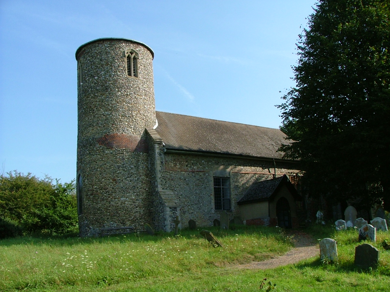
Within the village, there is also St. Peter's Church, a beautiful 13th-century church that stands as a testament to Bruisyard's long-standing religious heritage. The church features an impressive tower and hosts regular services and events for the local community.

Although small, Bruisyard offers a close-knit community atmosphere with a strong sense of community spirit. It benefits from a vibrant social life, with various clubs and organizations catering to different interests and age groups. The residents actively participate in community events, including fairs, festivals, and charity fundraisers.

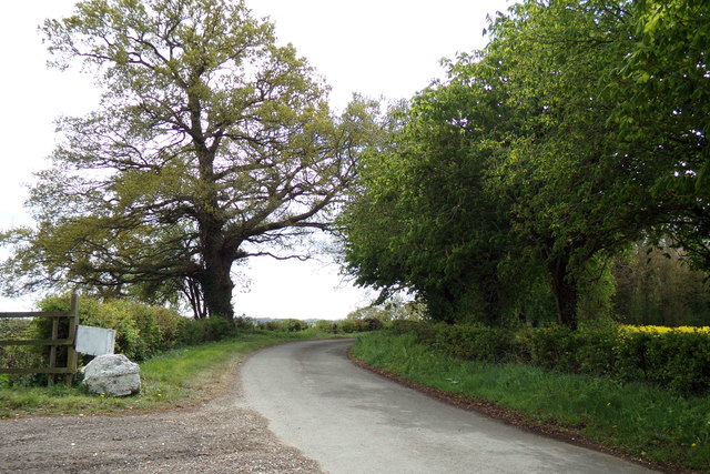
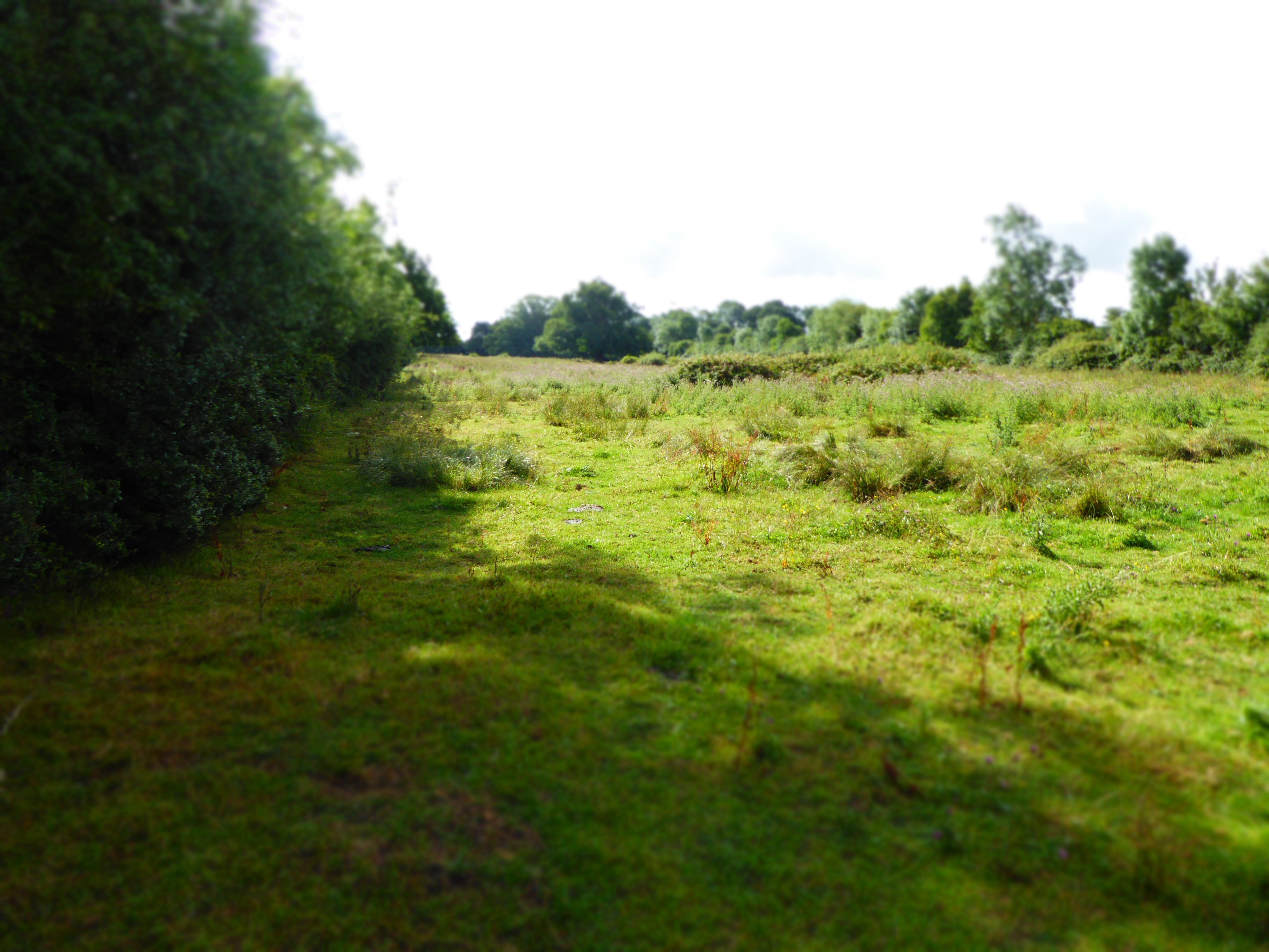
Bruisyard is surrounded by the Suffolk countryside, which presents ample opportunities for outdoor pursuits such as hiking, cycling, and wildlife spotting. The village's close proximity to the Suffolk coast also allows residents and visitors to enjoy the beautiful beaches and coastal attractions just a short drive away.

In summary, Bruisyard is a charming village in Suffolk, England, characterized by its historical landmarks, natural beauty, and strong community ties. It offers residents and visitors alike a peaceful and idyllic countryside retreat.

If you have any feedback on the listing, please let us know in the comments section below.

Bruisyard Images

Images are sourced within 2km of 52.245704/1.408065 or Grid Reference TM3266. Thanks to Geograph Open Source API. All images are credited.

Bruisyard Road, Cransford
Cransford  Village  Hall
Cransford Village Hall
Church of St. Peter, Bruisyard <span class="nowrap"><a title="https://historicengland.org.uk/listing/the-list/list-entry/1377166?section=official-list-entry" rel="nofollow ugc noopener" href="https://historicengland.org.uk/listing/the-list/list-entry/1377166?section=official-list-entry">Link</a><img style="margin-left:2px;" alt="External link" title="External link - shift click to open in new window" src="https://s1.geograph.org.uk/img/external.png" width="10" height="10"/></span>
Church of St. Peter, Bruisyard
Church of St. Peter, Cransford <span class="nowrap"><a title="https://historicengland.org.uk/listing/the-list/list-entry/1183119?section=official-list-entry" rel="nofollow ugc noopener" href="https://historicengland.org.uk/listing/the-list/list-entry/1183119?section=official-list-entry">Link</a><img style="margin-left:2px;" alt="External link" title="External link - shift click to open in new window" src="https://s1.geograph.org.uk/img/external.png" width="10" height="10"/></span>
Church of St. Peter, Cransford
Floods in the valley of the River Alde
ROC Post Badingham Badingham Post was commissioned in March 1949 and was closed due to ROC restructuring in October 1968. The site during the posts operational life was prone to flooding due to its location. Repairs were made to external walls to help prevent this; but all attempts ultimately failed. During the late 1990's talks were held by Badingham Parish Council to have the site protected but have failed to have the site listed. The Post is located on the High Street (South) near to Trust Farm.
ROC Post Badingham
Badingham Post was commissioned in March 1949 and was closed due to ROC restructuring in October 1968. The site during the posts operational life was prone to flooding due to its location. Repairs were made to external walls to help prevent this; but all attempts ultimately failed. During the late 1990's talks were held by Badingham Parish Council to have the site protected but have failed to have the site listed. The Post is located on the High Street (South) near to Trust Farm.
Wood Road, Badingham At the junction with the A1120 High Road
Road No.C231
Wood Road, Badingham
At the junction with the A1120 High Road Road No.C231
Farmland off Wood Road <span class="nowrap"><a title="https://en.wikipedia.org/wiki/Badingham" rel="nofollow ugc noopener" href="https://en.wikipedia.org/wiki/Badingham">Link</a><img style="margin-left:2px;" alt="External link" title="External link - shift click to open in new window" src="https://s1.geograph.org.uk/img/external.png" width="10" height="10"/></span>
Farmland off Wood Road
Wood Road, Badingham Road No.C321
Wood Road, Badingham
Road No.C321
Wood Road, Badingham At the entrance to Colston Hall
Wood Road, Badingham
At the entrance to Colston Hall
Colston Hall sign On Wood Road at the entrance to Colston Hall sign
Colston Hall sign
On Wood Road at the entrance to Colston Hall sign
Wood Road, Badingham At the entrance to Colston Hall
Wood Road, Badingham
At the entrance to Colston Hall
Wood Road, Badingham Road No.C231
Wood Road, Badingham
Road No.C231
Wood Road, Badingham
River Alde off Wood Road <span class="nowrap"><a title="https://en.wikipedia.org/wiki/Bruisyard" rel="nofollow ugc noopener" href="https://en.wikipedia.org/wiki/Bruisyard">Link</a><img style="margin-left:2px;" alt="External link" title="External link - shift click to open in new window" src="https://s1.geograph.org.uk/img/external.png" width="10" height="10"/></span>
River Alde off Wood Road
Field Entrance off Wood Road <span class="nowrap"><a title="https://en.wikipedia.org/wiki/Bruisyard" rel="nofollow ugc noopener" href="https://en.wikipedia.org/wiki/Bruisyard">Link</a><img style="margin-left:2px;" alt="External link" title="External link - shift click to open in new window" src="https://s1.geograph.org.uk/img/external.png" width="10" height="10"/></span>
Field Entrance off Wood Road
Wood Road, Badingham <span class="nowrap"><a title="https://en.wikipedia.org/wiki/Bruisyard" rel="nofollow ugc noopener" href="https://en.wikipedia.org/wiki/Bruisyard">Link</a><img style="margin-left:2px;" alt="External link" title="External link - shift click to open in new window" src="https://s1.geograph.org.uk/img/external.png" width="10" height="10"/></span>
Wood Road, Badingham
River Alde off Wood Road <span class="nowrap"><a title="https://en.wikipedia.org/wiki/Bruisyard" rel="nofollow ugc noopener" href="https://en.wikipedia.org/wiki/Bruisyard">Link</a><img style="margin-left:2px;" alt="External link" title="External link - shift click to open in new window" src="https://s1.geograph.org.uk/img/external.png" width="10" height="10"/></span>
River Alde off Wood Road
Show me another place!

Bruisyard is located at Grid Ref: TM3266 (Lat: 52.245704, Lng: 1.408065)

Administrative County: Suffolk

District: East Suffolk

Police Authority: Suffolk

What 3 Words

///trio.twit.aside. Near Framlingham, Suffolk

Nearby Locations

Bruisyard

Related Wikis

Bruisyard

Bruisyard is a village in the valley of the River Alde in the county of Suffolk, England. The village had a population of around 175 at the 2011 census...

Bruisyard Abbey

The Abbey of Bruisyard was a house of Minoresses (Poor Clares) at Bruisyard in Suffolk. It was founded from Campsey Priory in Suffolk on the initiative...

Cransford

Cransford is a village and a civil parish in the East Suffolk district, in the English county of Suffolk. The civil parish had a population at the 2011...

Cransford Meadow

Cransford Meadow is a 4.6-hectare (11-acre) biological Site of Special Scientific Interest south of Cransford in Suffolk. This unimproved grassland site...

Nearby Amenities

Located within 500m of 52.245704,1.408065
Bruisyard
Place: hamlet
Wikidata: Q3101487
Wikipedia: en:Bruisyard
Lat/Long: 52.2459598/1.4073444
Post Box
Collection Times: Mo-Sa 09:00
Post Box Type: lamp
Ref: IP17 4608
Royal Cypher: EIIR
Royal Cypher Wikidata: Q33102113
Lat/Long: 52.2462127/1.4078003
The data included in this document is from www.openstreetmap.org. The data is made available under ODbL.

Have you been to Bruisyard?

Leave your review of Bruisyard below (or comments, questions and feedback).