Heslam Park
Downs, Moorland in Lincolnshire
England
Heslam Park
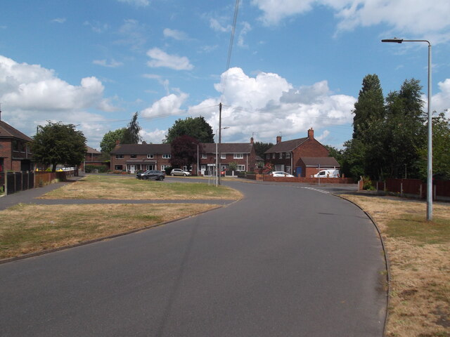
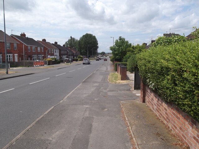
Heslam Park is a picturesque green space located in Lincolnshire, England. Spread across an area of approximately 50 acres, the park offers a serene and tranquil atmosphere for visitors to unwind and enjoy the beauty of nature. Situated on the outskirts of the town, the park is easily accessible and is a popular destination for locals and tourists alike.
The park boasts a diverse range of landscapes, including downs and moorland, which adds to its unique charm. The downs are characterized by gentle slopes and grassy expanses, perfect for picnics and recreational activities. Visitors can enjoy a leisurely stroll along the well-maintained paths, taking in the panoramic views of the surrounding countryside.
The moorland, on the other hand, offers a contrasting landscape with its rugged terrain and heather-covered hills. It provides a habitat for various wildlife species, making it a haven for nature enthusiasts and birdwatchers. The park also features a small lake, adding to its natural beauty and attracting a variety of waterfowl.
In addition to its natural attractions, Heslam Park offers a range of amenities to enhance visitors' experience. There are well-equipped playgrounds for children, sports facilities including tennis courts and football pitches, and a café where visitors can relax and enjoy refreshments.
Overall, Heslam Park is a delightful destination for nature lovers, offering a blend of downs, moorland, and recreational facilities. It provides a peaceful escape from the bustling city life and is a must-visit for those seeking tranquility and natural beauty in Lincolnshire.
If you have any feedback on the listing, please let us know in the comments section below.
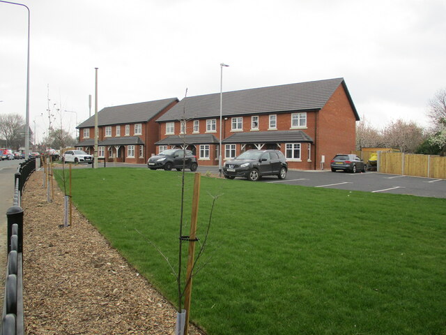
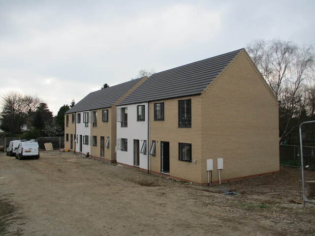
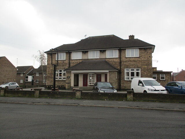
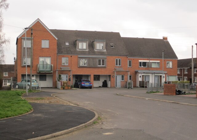
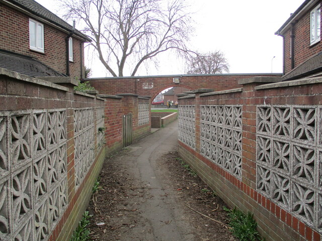
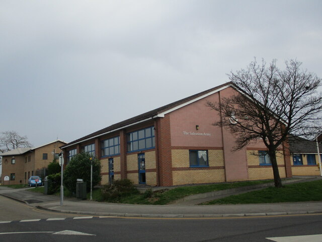
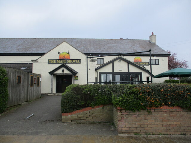
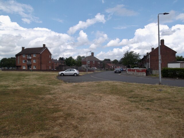
Heslam Park Images
Images are sourced within 2km of 53.577259/-0.6519741 or Grid Reference SE8909. Thanks to Geograph Open Source API. All images are credited.


Heslam Park is located at Grid Ref: SE8909 (Lat: 53.577259, Lng: -0.6519741)
Unitary Authority: North Lincolnshire
Police Authority: Humberside
What 3 Words
///author.ruler.rising. Near Scunthorpe, Lincolnshire
Nearby Locations
Related Wikis

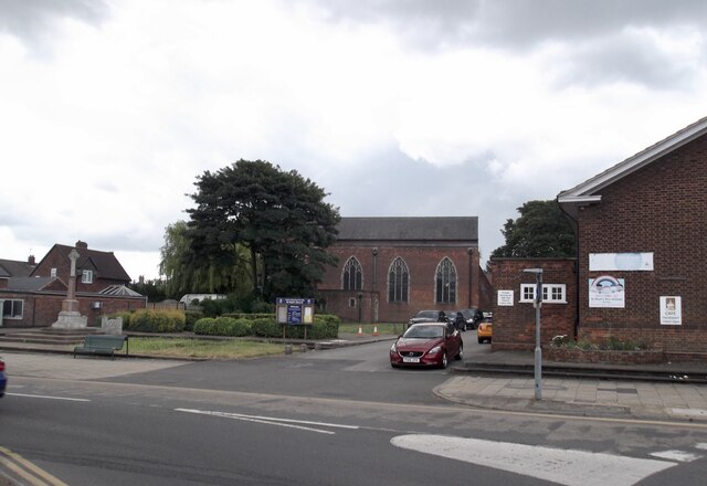
Scunthorpe
Scunthorpe () is an industrial town in the North Lincolnshire district of Lincolnshire, England. It is Lincolnshire's third most populous settlement, after...

Outwood Academy Brumby
Outwood Academy Brumby (formerly Brumby Comprehensive School and Brumby Engineering College), is a mixed secondary school with academy status, in Scunthorpe...

Scunthorpe Civic Centre
Scunthorpe Civic Centre, also known as Pittwood House, is a municipal building in Ashby Road in Scunthorpe, a town in Lincolnshire in England. The building...
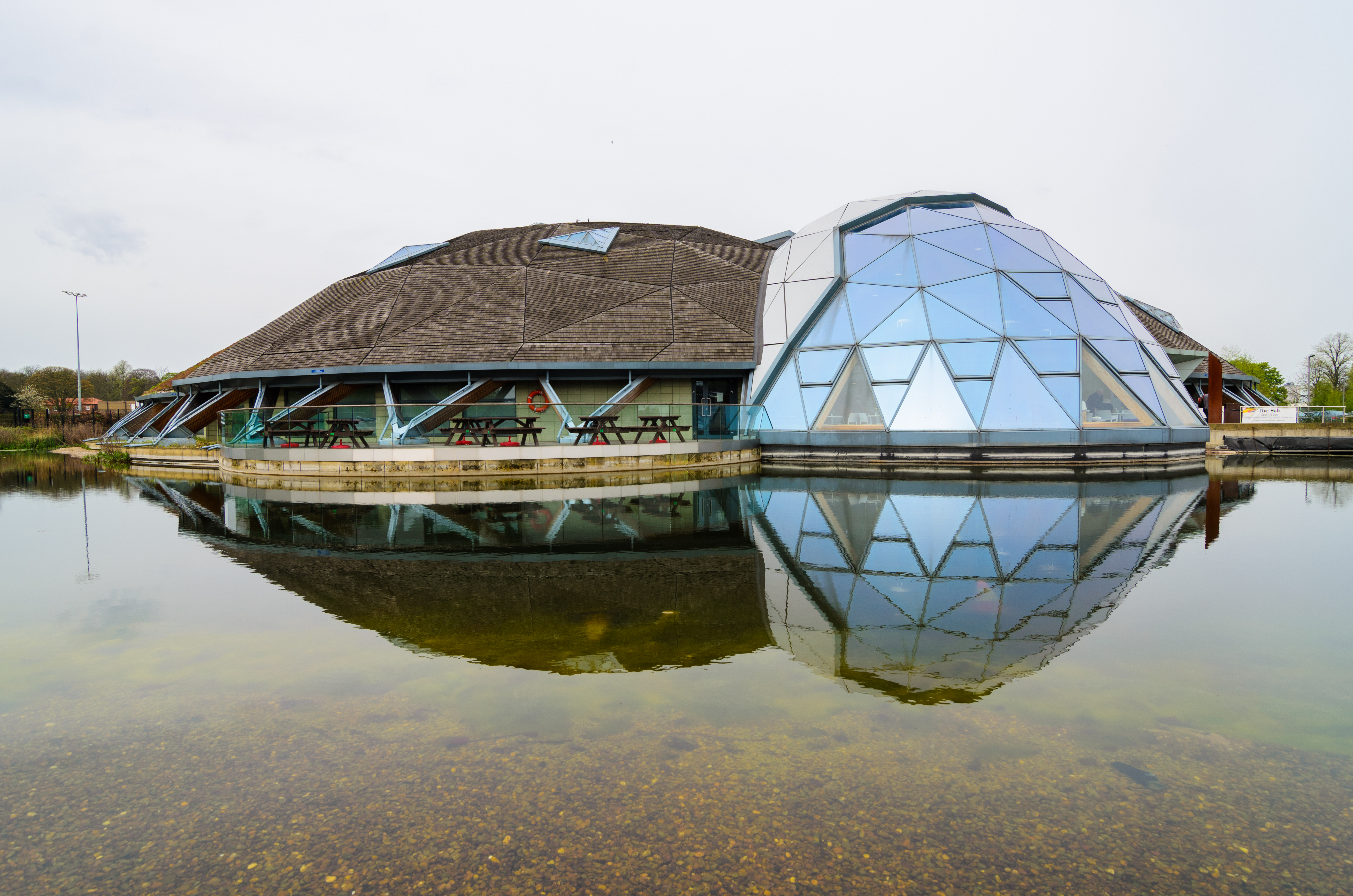
The Pods
The Pods is a leisure centre in Scunthorpe, North Lincolnshire, England. The leisure centre offers a wide range of modern facilities, including two swimming...
Nearby Amenities
Located within 500m of 53.577259,-0.6519741Have you been to Heslam Park?
Leave your review of Heslam Park below (or comments, questions and feedback).