Brucefield
Settlement in Midlothian
Scotland
Brucefield
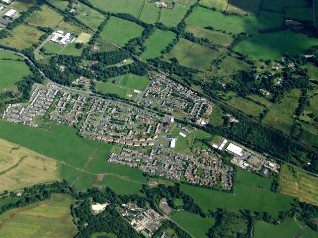
Brucefield is a small village located in the county of Midlothian, Scotland. Situated approximately 11 miles southeast of the capital city of Edinburgh, it is a part of the larger civil parish of Temple. With a population of around 500 residents, Brucefield is known for its quiet and rural atmosphere.
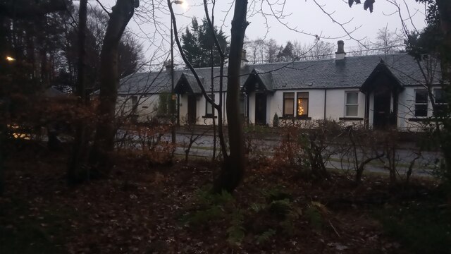
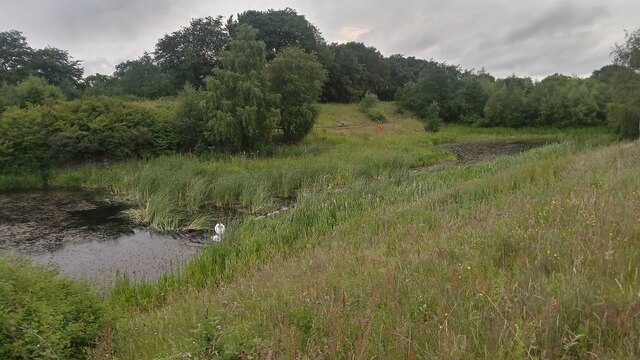
The village is surrounded by picturesque landscapes, boasting rolling hills, lush green fields, and charming countryside views. It is predominantly a residential area, characterized by traditional stone-built houses and cottages, giving it a quaint and traditional feel.
Despite its small size, Brucefield is well-connected to nearby towns and cities. The A68 road runs nearby, providing easy access to Edinburgh and other major towns in the region. Additionally, the village has a regular bus service, allowing residents to travel conveniently within the area.
Although Brucefield lacks its own amenities, it benefits from its proximity to neighboring towns. The town of Dalkeith, located just a few miles away, offers a range of facilities, including shops, supermarkets, schools, and healthcare services. Furthermore, the nearby city of Edinburgh provides a wide array of cultural, entertainment, and employment opportunities.
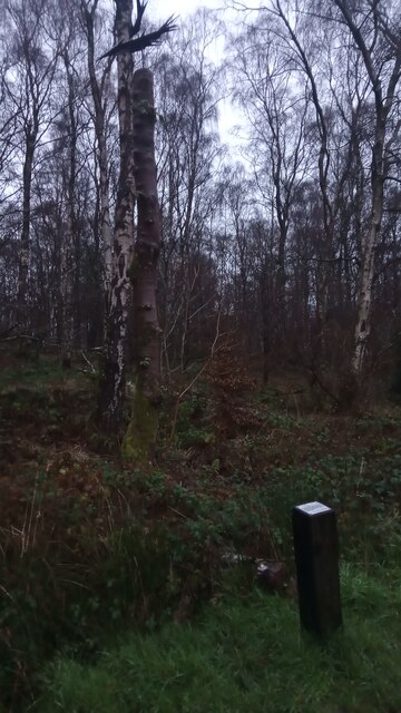
For outdoor enthusiasts, Brucefield offers an abundance of natural beauty and recreational activities. The surrounding countryside is ideal for hiking, cycling, and exploring nature trails. Additionally, several golf courses can be found in the vicinity, providing opportunities for golf enthusiasts to indulge in their favorite sport.
Overall, Brucefield is a charming village that offers a tranquil and idyllic living environment, while also providing convenient access to nearby amenities and recreational opportunities.
If you have any feedback on the listing, please let us know in the comments section below.
Brucefield Images
Images are sourced within 2km of 55.859594/-3.5352944 or Grid Reference NT0464. Thanks to Geograph Open Source API. All images are credited.


Brucefield is located at Grid Ref: NT0464 (Lat: 55.859594, Lng: -3.5352944)
Unitary Authority: West Lothian
Police Authority: The Lothians and Scottish Borders
What 3 Words
///jungle.cities.cabin. Near Polbeth, West Lothian
Nearby Locations
Related Wikis
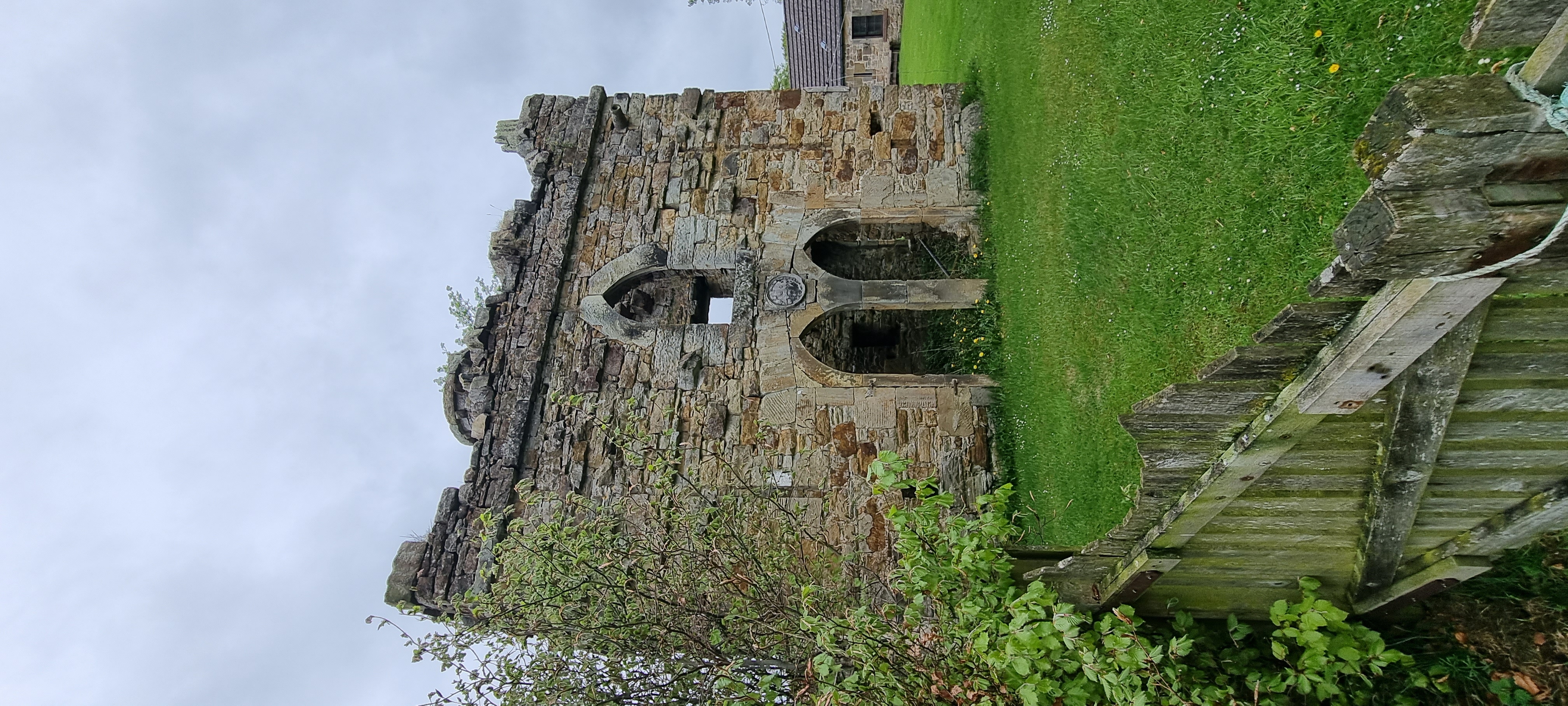
Murieston Castle
Murieston Castle is a ruined tower house, dating from the 16th century, 2 miles (3.2 km) west of West Calder, west of the Murieston Water, at Murieston...

Newpark railway station
Newpark railway station was a railway station serving Newpark near Bellsquarry in West Lothian, then called Linlithgowshire. It was on the Cleland and...
Polbeth
Polbeth (; G. Poll - pool beithe - birch tree "birch pool") is a former oil shale mining village located about a mile from West Calder, and not far from...
Adambrae
Adambrae is a residential area and small river (burn) in Livingston, consisting primarily of privately owned housing. There is a small nature area and...
Nearby Amenities
Located within 500m of 55.859594,-3.5352944Have you been to Brucefield?
Leave your review of Brucefield below (or comments, questions and feedback).