Brucefield
Settlement in Fife
Scotland
Brucefield
Brucefield is a small village located in the county of Fife, Scotland. Situated approximately 4 miles west of the town of Dunfermline, it falls within the Dunfermline and West Fife parliamentary constituency. The village is bordered by the A907 road to the north, providing convenient access to nearby towns and cities.
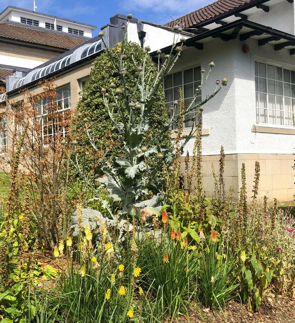
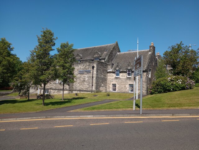
Known for its picturesque countryside setting, Brucefield offers a tranquil escape from urban life. Surrounded by lush green fields, the area is dotted with charming cottages and traditional stone houses. The village is characterized by its close-knit community and friendly atmosphere, making it an ideal place for families and individuals seeking a peaceful residential area.
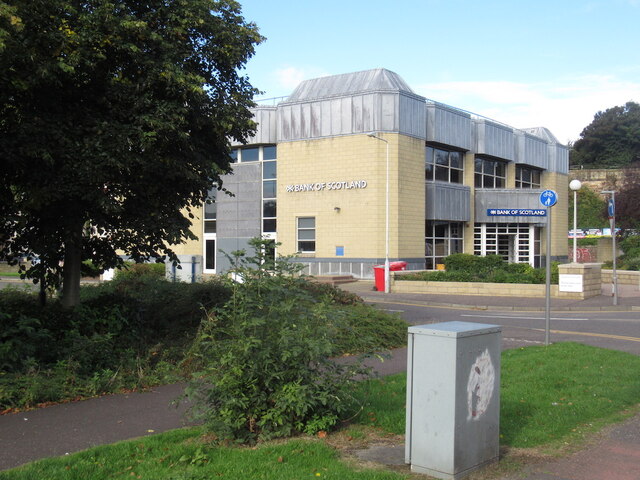
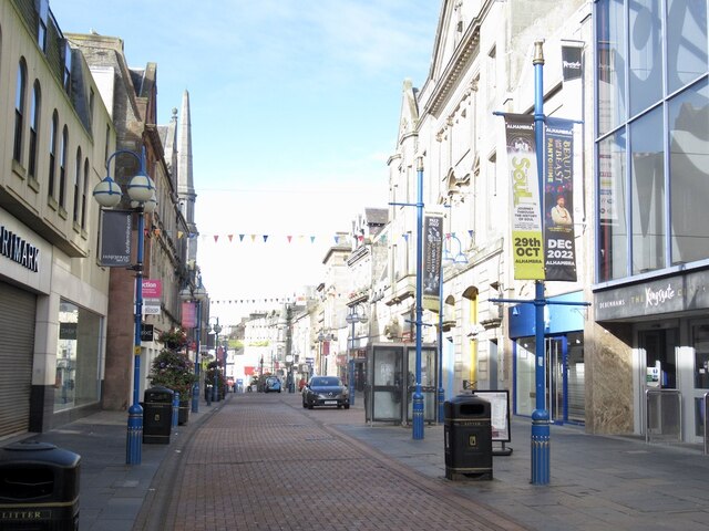
Despite its small size, Brucefield benefits from a range of local amenities. The nearby town of Dunfermline offers a wider selection of shops, supermarkets, and leisure facilities, including a golf course and sports centers. Residents also have access to a number of primary and secondary schools in the vicinity, ensuring a high standard of education for children.
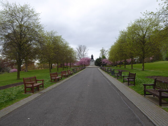
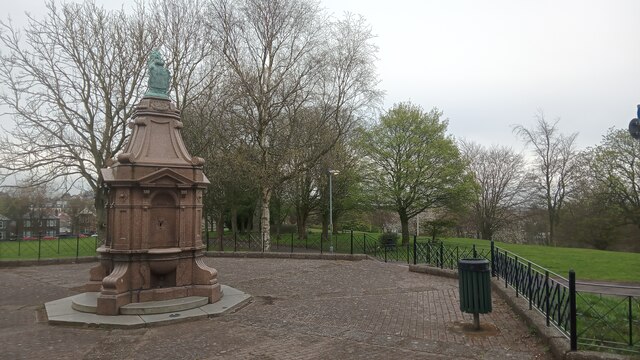
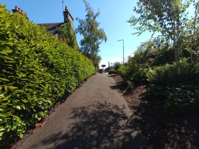
For those seeking recreational activities, there are several attractive parks and nature reserves within close proximity to Brucefield. These natural spaces provide opportunities for outdoor pursuits such as walking, cycling, and wildlife spotting. The village's location also allows for easy exploration of the surrounding Fife countryside and coastal areas.
In summary, Brucefield offers a peaceful and idyllic setting for those looking to reside in a close-knit community surrounded by beautiful countryside. With its convenient location and range of local amenities, it provides residents with a comfortable and enjoyable living experience.
If you have any feedback on the listing, please let us know in the comments section below.
Brucefield Images
Images are sourced within 2km of 56.06385/-3.443534 or Grid Reference NT1086. Thanks to Geograph Open Source API. All images are credited.


Brucefield is located at Grid Ref: NT1086 (Lat: 56.06385, Lng: -3.443534)
Unitary Authority: Fife
Police Authority: Fife
What 3 Words
///game.snack.lace. Near Dunfermline, Fife
Nearby Locations
Related Wikis
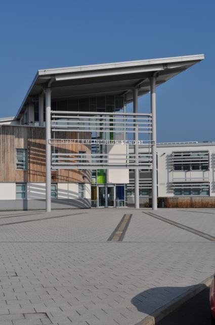
Dunfermline High School
Dunfermline High School is one of four main high schools located in Dunfermline, Fife, Scotland. The school also caters for pupils from Kincardine, Rosyth...
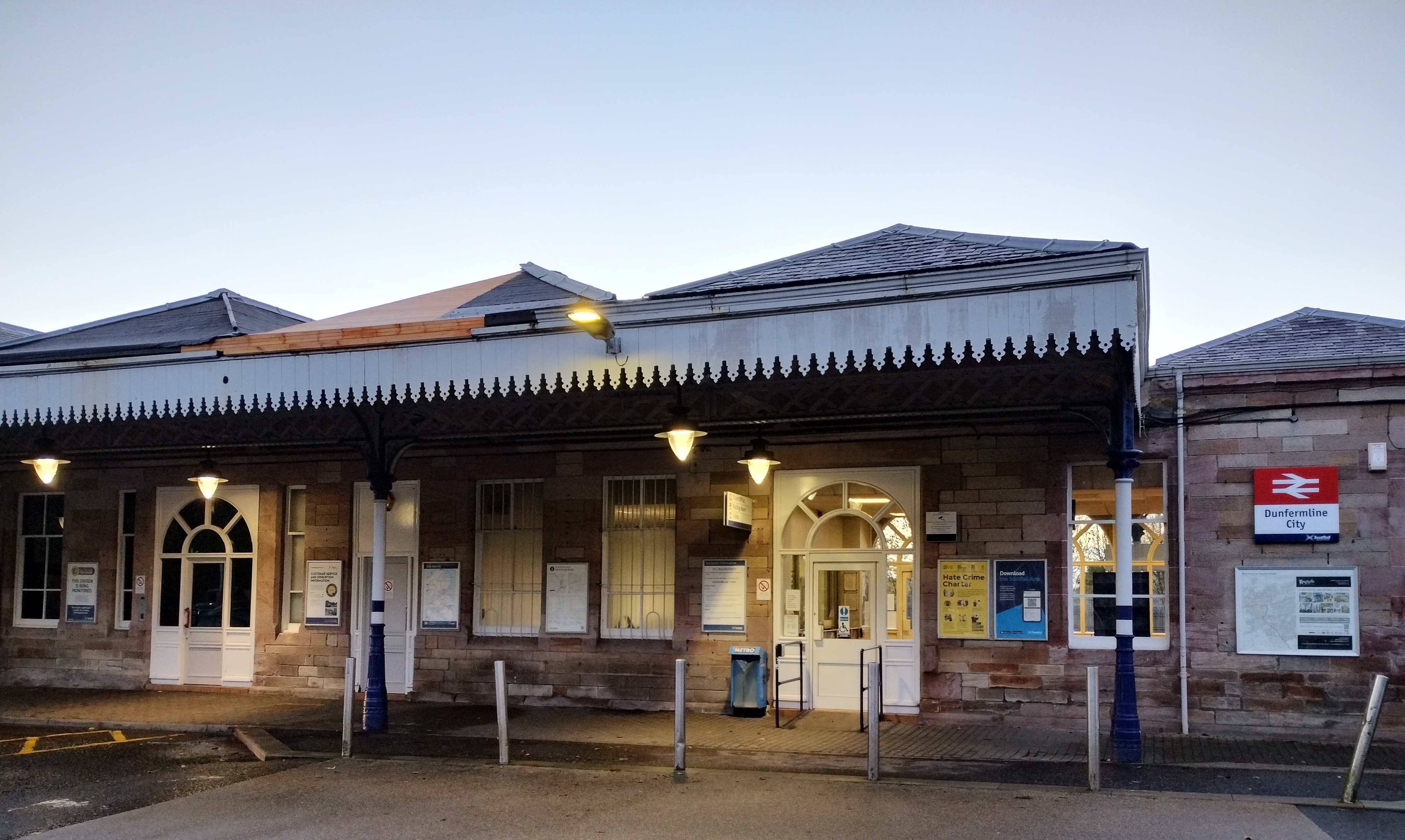
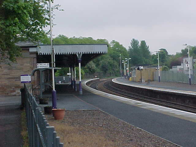
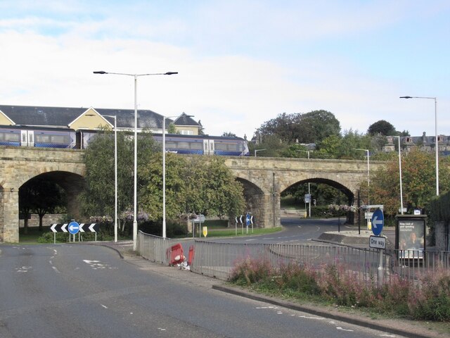
Dunfermline City railway station
Dunfermline City railway station (formerly Dunfermline Town) is a station in the city of Dunfermline, Fife, Scotland. The station is managed by ScotRail...

St Leonard's Church, Dunfermline
St Leonard's Church is a congragation of the Church of Scotland located on Brucefield Avenue, Dunfermline, Scotland. == History == The current church replaced...

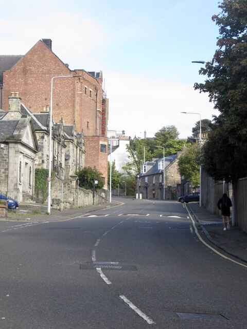
Dunfermline
Dunfermline ( ; Scots: Dunfaurlin, Scottish Gaelic: Dùn Phàrlain) is a city, parish, and former Royal Burgh in Fife, Scotland, on high ground 3 miles...
Nearby Amenities
Located within 500m of 56.06385,-3.443534Have you been to Brucefield?
Leave your review of Brucefield below (or comments, questions and feedback).