Pool
Civil Parish in Yorkshire Leeds
England
Pool
Pool is a civil parish located in the metropolitan borough of Leeds, West Yorkshire, England. It is situated approximately 7 miles north of Leeds city centre and covers an area of around 6 square miles. The village of Pool lies at the heart of the parish and is surrounded by a mix of rural and suburban landscapes.
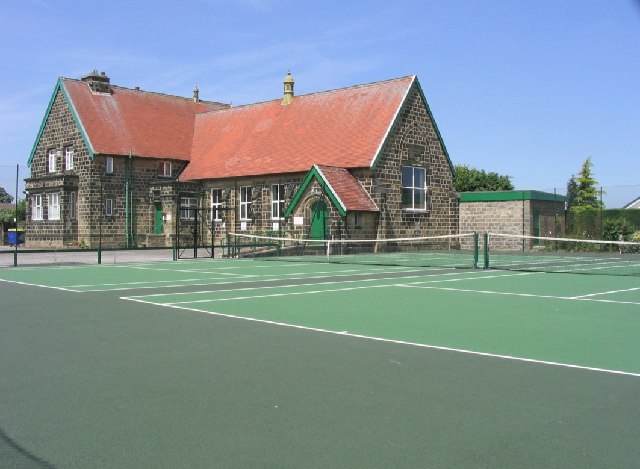
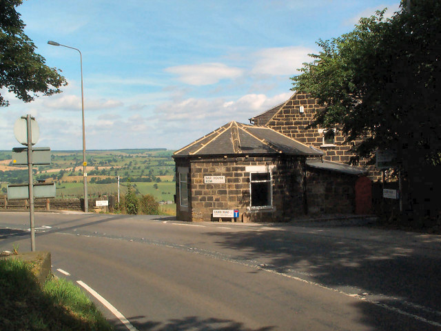
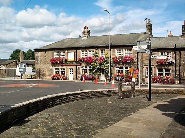
The village itself has a rich history, with evidence of human settlement dating back to the Bronze Age. Today, it is a thriving community with a population of around 5,000 residents. The village offers a range of amenities, including shops, pubs, and a primary school.
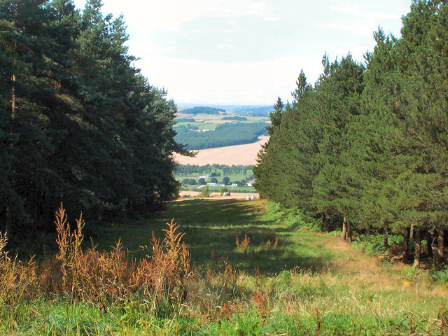
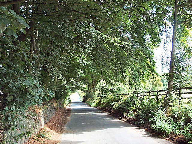
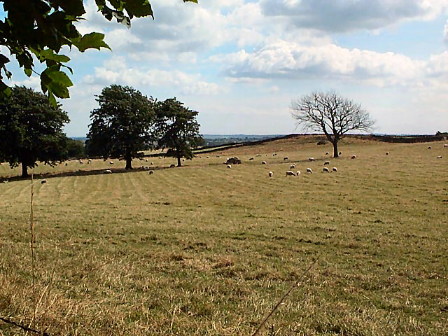
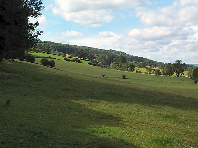
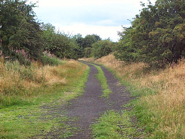
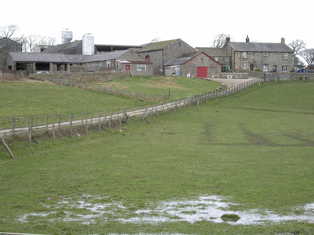
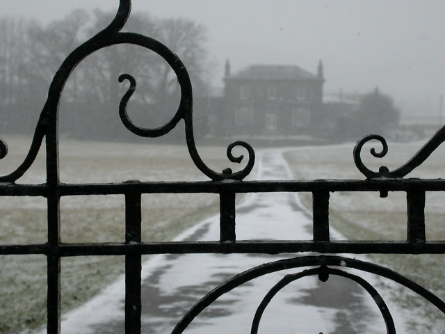
The parish is known for its picturesque countryside, with several green spaces and nature reserves for residents and visitors to enjoy. The largest of these is Pool-in-Wharfedale Park, which offers open spaces, woodland walks, and a children's playground. The area is also home to a number of farms and agricultural land, reflecting its rural heritage.
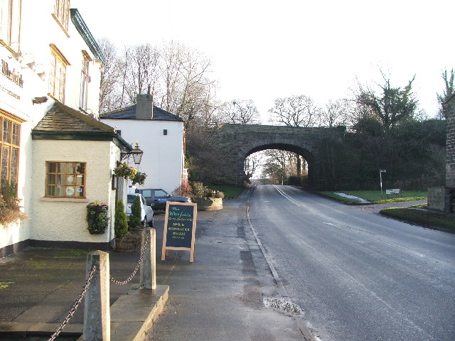
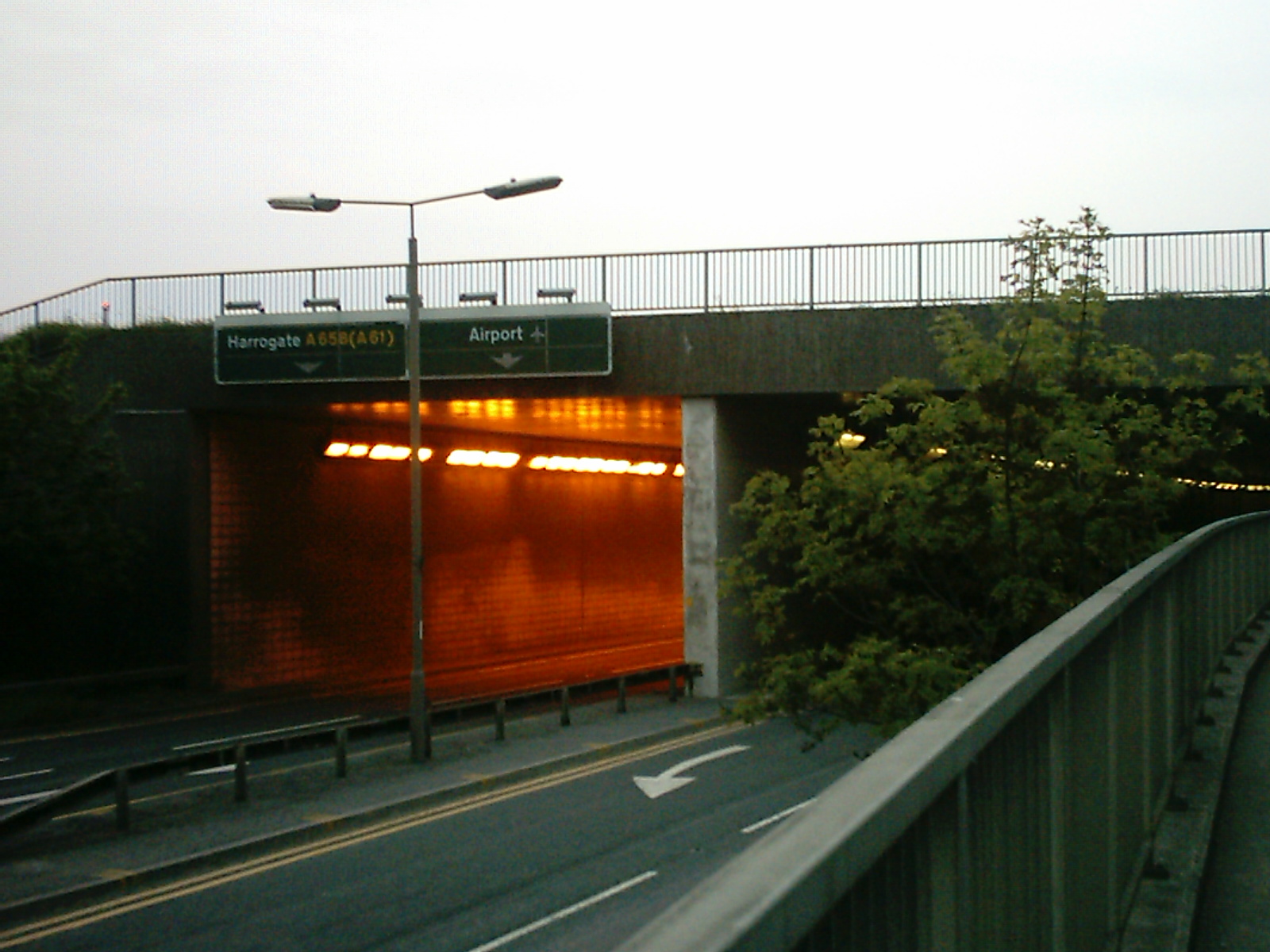
Transport links in Pool are excellent, with regular bus services connecting the village to Leeds city centre and surrounding areas. The nearby A658 road provides easy access to Leeds Bradford Airport and the wider motorway network.
Overall, Pool, Yorkshire (Civil Parish) offers a desirable mix of rural and suburban living, with a strong sense of community and a range of amenities to suit residents of all ages.
If you have any feedback on the listing, please let us know in the comments section below.
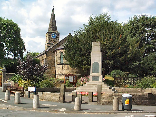
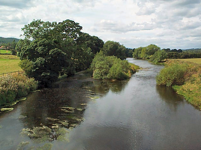
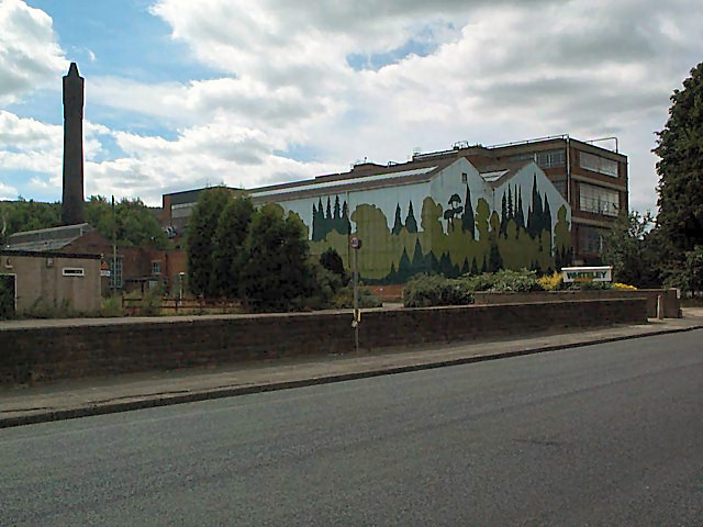
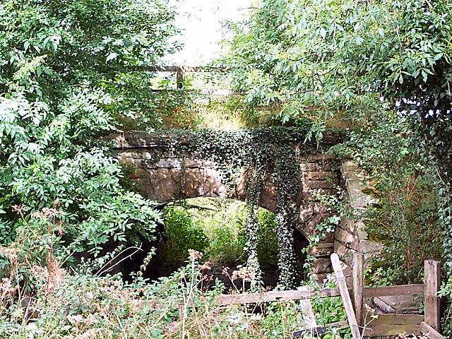
Pool Images
Images are sourced within 2km of 53.89856/-1.637248 or Grid Reference SE2344. Thanks to Geograph Open Source API. All images are credited.
Pool is located at Grid Ref: SE2344 (Lat: 53.89856, Lng: -1.637248)
Division: West Riding
Administrative County: West Yorkshire
District: Leeds
Police Authority: West Yorkshire
What 3 Words
///late.should.pouch. Near Pool, West Yorkshire
Nearby Locations
Related Wikis

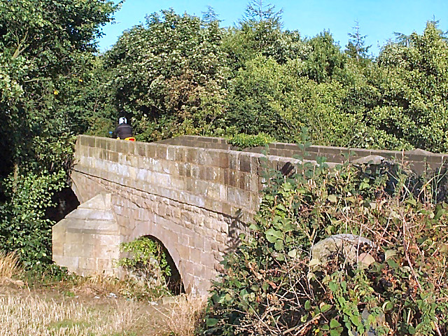
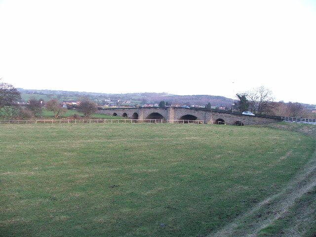
Pool-in-Wharfedale railway station
Pool-in-Wharfedale railway station was a railway station serving the village of Pool-in-Wharfedale in West Yorkshire, England. It was opened by the North...

Pool-in-Wharfedale
Pool-in-Wharfedale or Pool in Wharfedale, usually abbreviated to Pool, is a village and civil parish in Lower Wharfedale, West Yorkshire, England, 10 miles...

River Washburn
The River Washburn is a river in Yorkshire, England. It originates high in the Yorkshire Dales and ends where it meets the River Wharfe. It lies within...
A658 road
The A658 is a road in Yorkshire, UK. == Route == It runs from Bradford, West Yorkshire (53.7949°N 1.7487°W / 53.7949; -1.7487 (A658 road (southwestern...
Arthington railway station
Arthington railway station served the village of Arthington in the English county of West Yorkshire, near the North Yorkshire town of Harrogate. ��2...

Bramhope Tunnel
Bramhope Tunnel is on the Harrogate Line between Horsforth station and the Arthington Viaduct in West Yorkshire, England. Services through the railway...

Creskeld Hall
Creskeld Hall is a grade II listed Country House located in Arthington, near Otley, West Yorkshire, England. == Etymology == The place-name is first attested...

Leathley
Leathley is a village and civil parish in the Harrogate district of North Yorkshire, England, the parish includes the townships of both Castley and Leathley...
Nearby Amenities
Located within 500m of 53.89856,-1.637248Have you been to Pool?
Leave your review of Pool below (or comments, questions and feedback).