Pontesbury
Civil Parish in Shropshire
England
Pontesbury
The requested URL returned error: 429 Too Many Requests
If you have any feedback on the listing, please let us know in the comments section below.
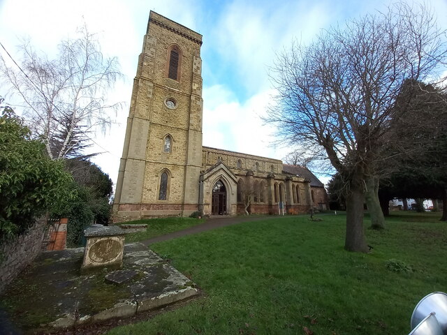
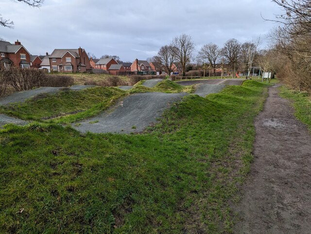
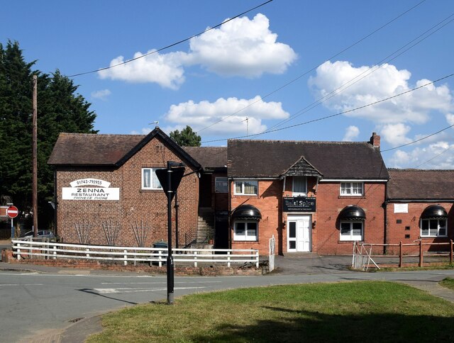
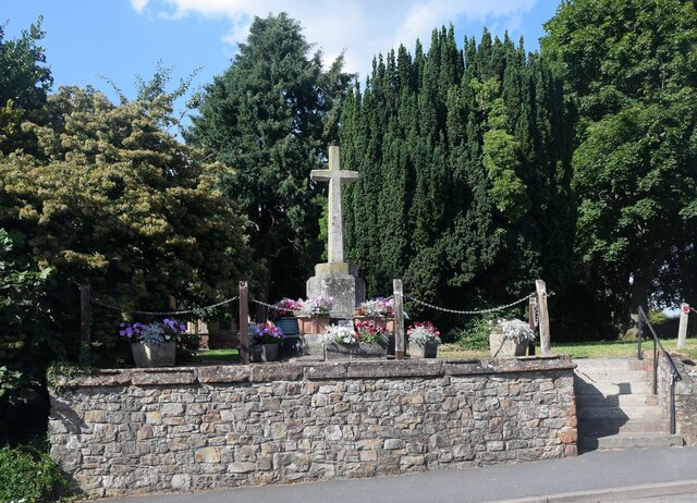
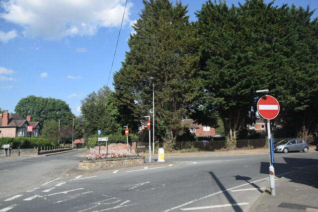
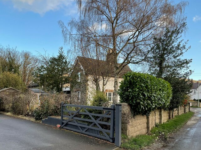
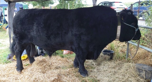
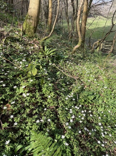
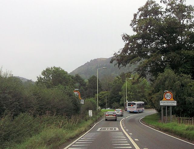
Pontesbury Images
Images are sourced within 2km of 52.658712/-2.876557 or Grid Reference SJ4007. Thanks to Geograph Open Source API. All images are credited.


Pontesbury is located at Grid Ref: SJ4007 (Lat: 52.658712, Lng: -2.876557)
Unitary Authority: Shropshire
Police Authority: West Mercia
What 3 Words
///revisit.footpath.depravity. Near Pontesbury, Shropshire
Nearby Locations
Related Wikis

Minsterley branch line
The Minsterley branch was a short railway line that ran from Cruckmeole Junction on the Cambrian Line just south of Shrewsbury to Minsterley in Shropshire...
Pontesford
Pontesford is a small village in Shropshire, England. It is located on the A488 outside the large village of Pontesbury, southwest of Shrewsbury. The population...

Plealey Road railway station
Plealey Road railway station was a station to the north of Plealey, Shropshire, England. The station was opened in 1861 and closed in 1951. The station...

Pontesbury railway station
Pontesbury railway station was a station in Pontesbury, Shropshire, England. The station was opened in 1861 and closed in 1951. == References == ��2�...
Nearby Amenities
Located within 500m of 52.658712,-2.876557Have you been to Pontesbury?
Leave your review of Pontesbury below (or comments, questions and feedback).