Poole
Civil Parish in Cheshire
England
Poole

Poole is a civil parish located in the county of Cheshire, England. Situated in the northwestern part of the county, it lies approximately 6 miles south of Nantwich and 10 miles east of the city of Chester. The parish covers an area of around 3 square miles and has a population of around 500 people.
The village of Poole is set in a picturesque rural landscape, surrounded by rolling hills and farmland. It is a close-knit community with a charming and tranquil atmosphere. The local architecture is predominantly traditional, with many historic buildings and cottages dating back to the 17th and 18th centuries.
The heart of the village is centered around St. Lawrence's Church, a beautiful medieval church that has been a focal point of the community for centuries. The church, with its striking tower and stained glass windows, is a significant landmark in Poole.
The village has a primary school, Poole CofE Primary School, which serves the local community and surrounding areas. There are also a few small businesses in the village, including a post office and a village shop, providing essential services to residents.
Poole is well-connected to neighboring towns and cities, with good road links to Nantwich and Chester. The M6 motorway is easily accessible, providing convenient access to major cities such as Manchester and Liverpool.
The natural beauty of the surrounding countryside, combined with the village's rich history and strong community spirit, makes Poole an attractive place to live for those seeking a peaceful and idyllic rural lifestyle.
If you have any feedback on the listing, please let us know in the comments section below.
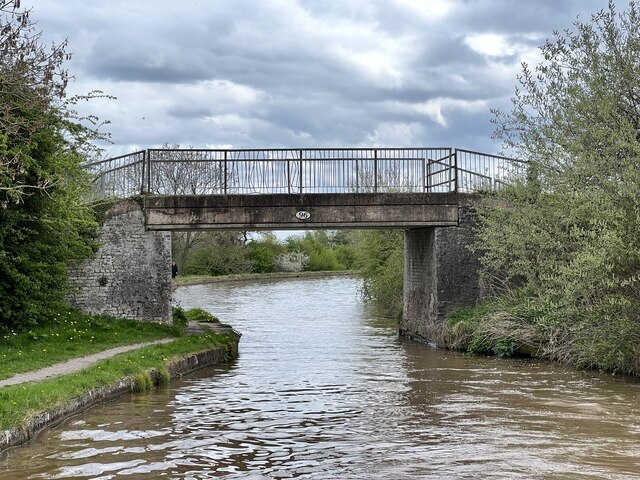
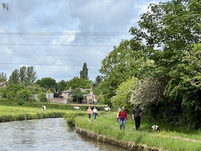
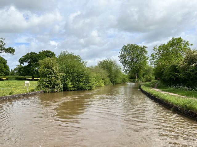
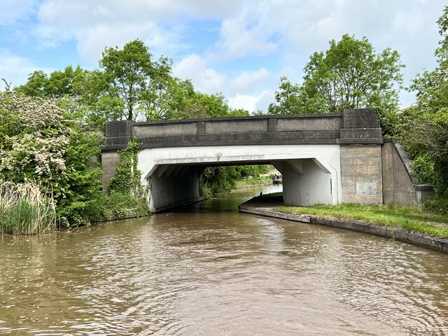
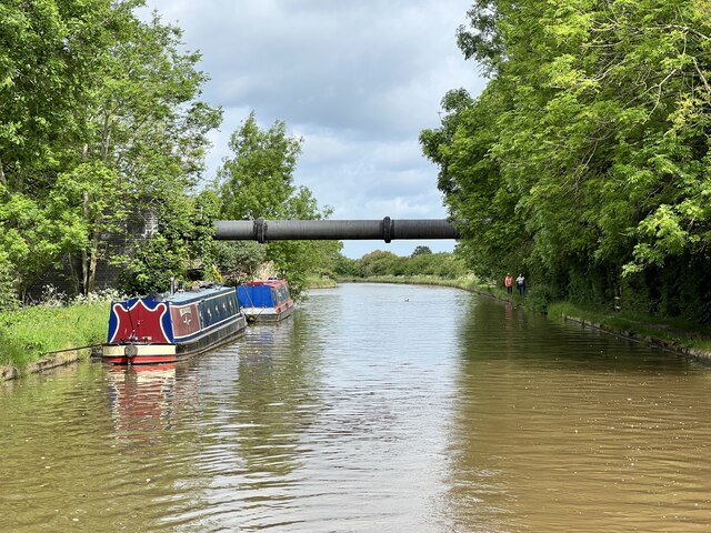
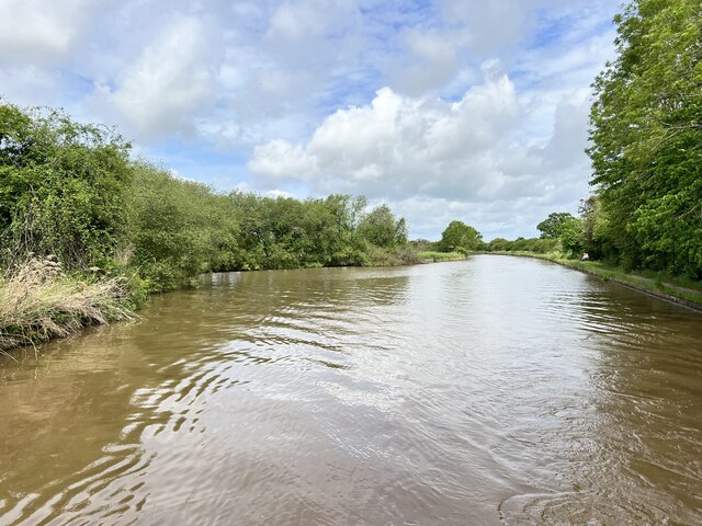
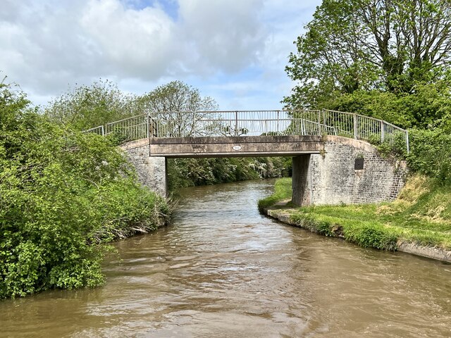
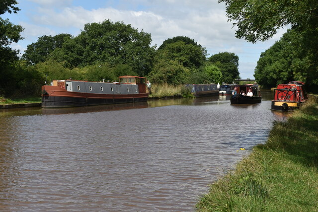
Poole Images
Images are sourced within 2km of 53.094927/-2.541143 or Grid Reference SJ6355. Thanks to Geograph Open Source API. All images are credited.


Poole is located at Grid Ref: SJ6355 (Lat: 53.094927, Lng: -2.541143)
Unitary Authority: Cheshire East
Police Authority: Cheshire
What 3 Words
///truly.vesting.scores. Near Nantwich, Cheshire
Nearby Locations
Related Wikis
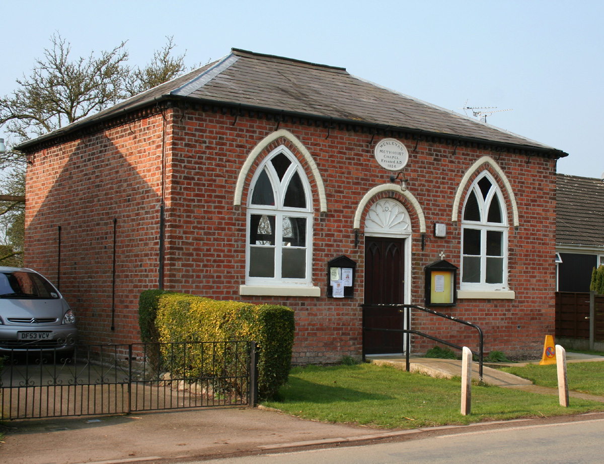
Poole Methodist Chapel
Poole Methodist Chapel is in Wettenhall Road, Poole, Cheshire, England. It is an active Methodist church in the Cheshire South Methodist Circuit. The...

Poole Hall
Poole Hall is a Regency mansion at Poole, near Nantwich in Cheshire, England. It dates from 1812 to 1817 and is recorded in the National Heritage List...

Poole, Cheshire
Poole is a civil parish in the unitary authority of Cheshire East and the ceremonial county of Cheshire, England, which lies to the north west of Nantwich...
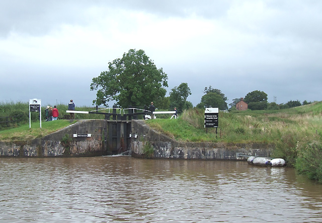
Hurleston Junction
Hurleston Junction (grid reference SJ625553) is the name of the canal junction where the Llangollen Canal terminates and meets the Shropshire Union Canal...
Nearby Amenities
Located within 500m of 53.094927,-2.541143Have you been to Poole?
Leave your review of Poole below (or comments, questions and feedback).