Plaxtol
Civil Parish in Kent Tonbridge and Malling
England
Plaxtol
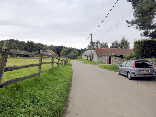
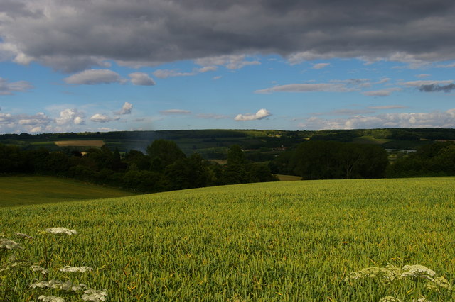
Plaxtol is a picturesque civil parish located in the county of Kent, England. Situated in the borough of Tonbridge and Malling, it is nestled amidst the rolling hills of the North Downs and is surrounded by stunning countryside landscapes. The village of Plaxtol itself is small, with a population of approximately 1,400 residents.
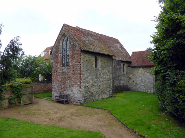
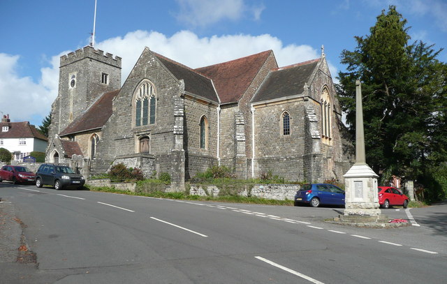
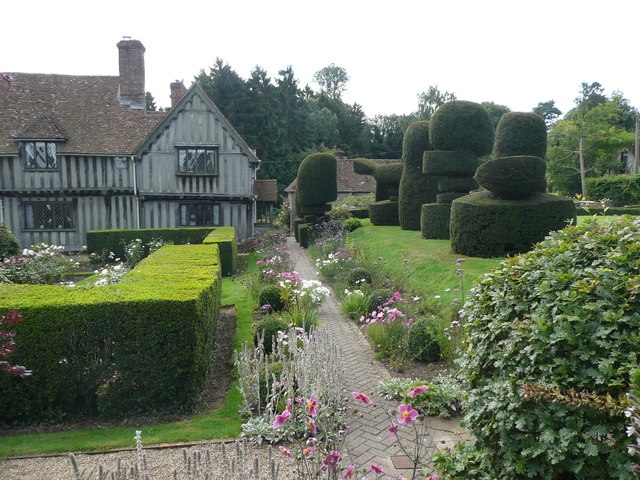
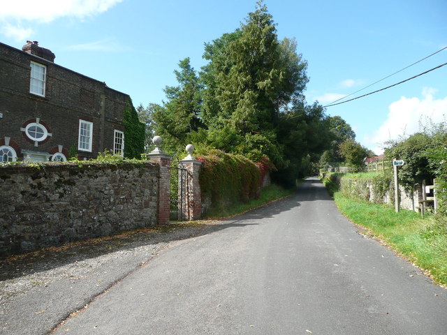
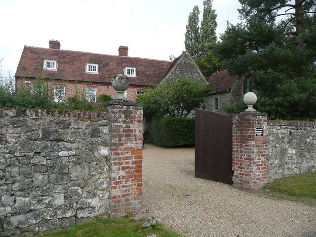
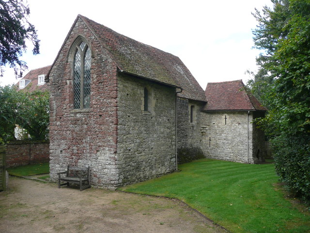
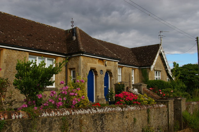
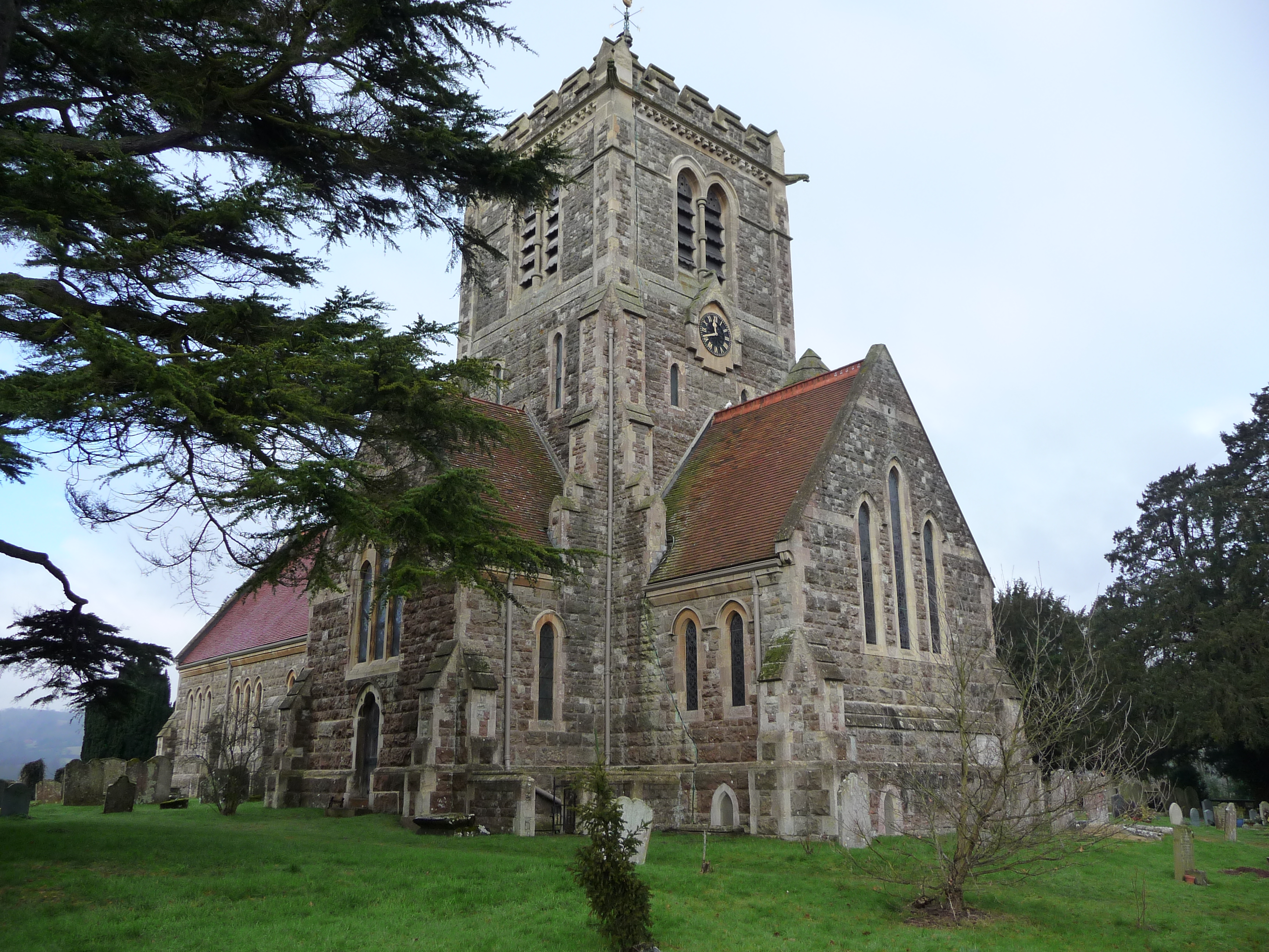
The history of Plaxtol can be traced back to medieval times, and the village still retains much of its historic charm. It features a mix of architectural styles, including traditional timber-framed houses and 18th-century brick buildings. The village center is dominated by the Church of St. Giles, a beautiful Grade I listed building that dates back to the 12th century.
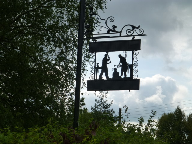
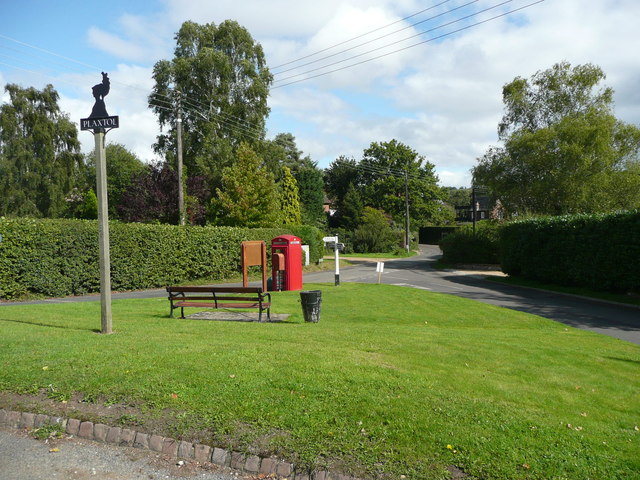
Plaxtol boasts a strong sense of community, with various activities and events organized throughout the year. The village has a primary school, a village hall, and a local pub, which serves as a popular gathering place for residents. It also has a cricket club and a tennis club, providing recreational opportunities for locals.
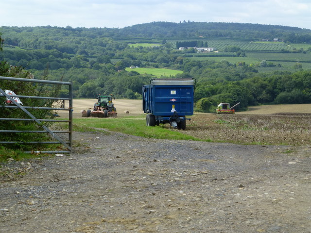
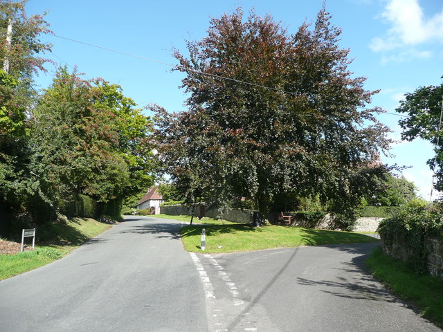
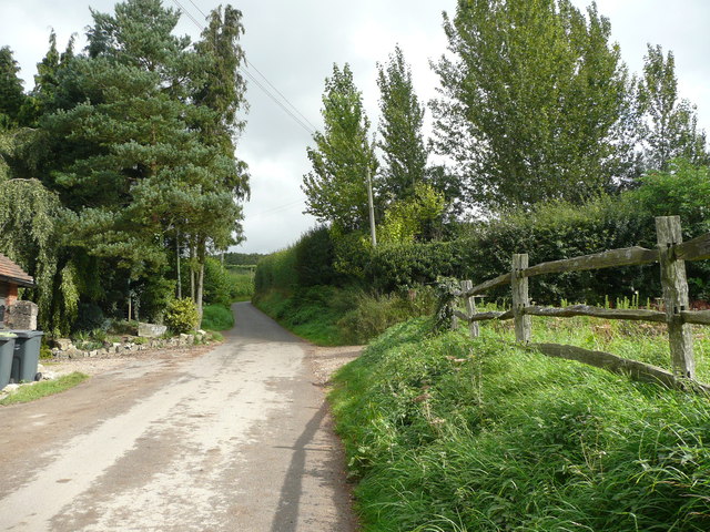
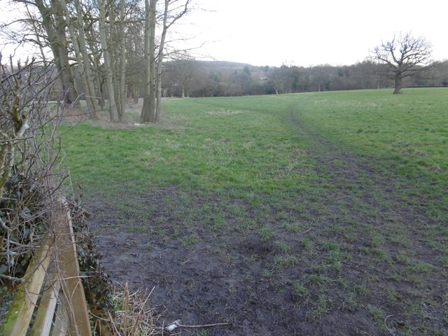
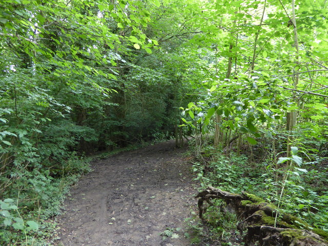
The surrounding countryside offers numerous walking and cycling routes, making Plaxtol a haven for nature enthusiasts. It is also conveniently located near several larger towns, such as Sevenoaks and Tonbridge, which offer a wider range of amenities and services.
Overall, Plaxtol is a charming and tranquil village that offers a peaceful rural lifestyle while still being within easy reach of larger towns and cities. Its rich history, stunning landscapes, and strong community spirit make it a desirable place to live for both locals and visitors alike.
If you have any feedback on the listing, please let us know in the comments section below.
Plaxtol Images
Images are sourced within 2km of 51.263722/0.30765 or Grid Reference TQ6154. Thanks to Geograph Open Source API. All images are credited.

Plaxtol is located at Grid Ref: TQ6154 (Lat: 51.263722, Lng: 0.30765)
Administrative County: Kent
District: Tonbridge and Malling
Police Authority: Kent
What 3 Words
///fled.empty.glove. Near Borough Green, Kent
Nearby Locations
Related Wikis
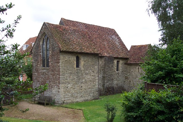
Old Soar Manor
Old Soar Manor is an English Heritage property, owned and maintained by the National Trust. Located near Plaxtol, Kent, England, it is a small 13th century...

Yopps Green
Yopps Green is a hamlet in the Tonbridge and Malling District, in the county of Kent, England. It is part of the small village of Plaxtol. == Location... ==
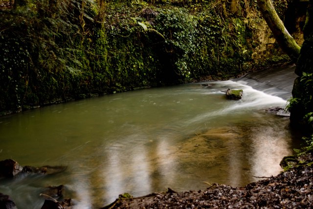
Bourne Alder Carr
Bourne Alder Carr is a 13.4-hectare (33-acre) biological Site of Special Scientific Interest east of Sevenoaks in Kent.The River Bourne runs through a...

Plaxtol
Plaxtol is a village and civil parish in the borough of Tonbridge and Malling in Kent, England. The village is located around 5 miles (8 km) north of Tonbridge...

Claygate Cross
Claygate Cross is a hamlet in the Tonbridge and Malling district, in the English county of Kent. == Location == It is near the River Bourne. Nearby settlements...
Basted, Kent
Basted is a hamlet in the Tonbridge and Malling district, in the county of Kent, England. == Nearby settlements == === Town === Sevenoaks === Villages... ===

Fairlawne
Fairlawne is a Grade I listed house in Shipbourne, Kent, England, about 30 miles southeast of central London. The Fairlawne Estate is extensive and stretches...
Shipbourne
Shipbourne ( SHIB-ərn) is a village and civil parish situated between the towns of Sevenoaks and Tonbridge, in the borough of Tonbridge and Malling in...
Nearby Amenities
Located within 500m of 51.263722,0.30765Have you been to Plaxtol?
Leave your review of Plaxtol below (or comments, questions and feedback).