Platt
Civil Parish in Kent Tonbridge and Malling
England
Platt
Platt, Kent is a civil parish located in the Sevenoaks District of Kent, England. It is situated approximately 9 miles east of Sevenoaks town and covers an area of around 1.5 square miles. The parish is bordered by the villages of Ightham, Borough Green, and Wrotham.
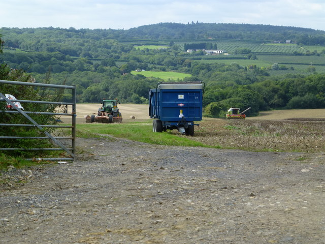
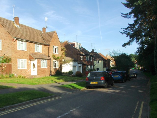
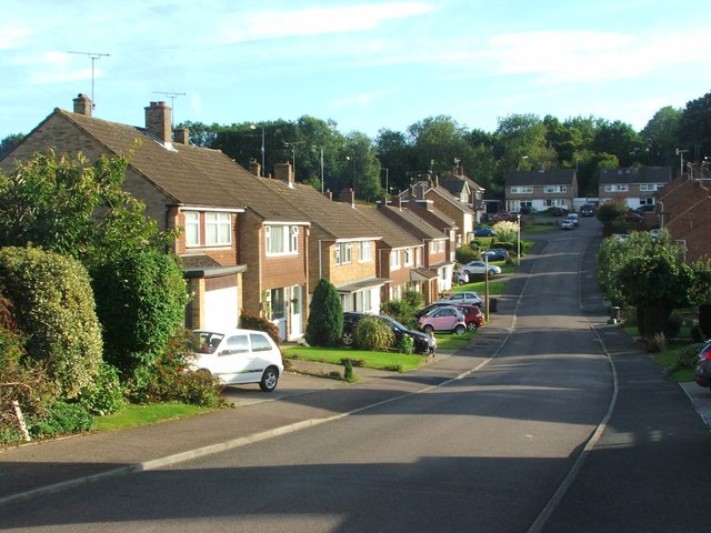
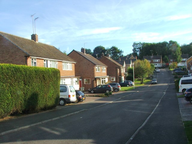
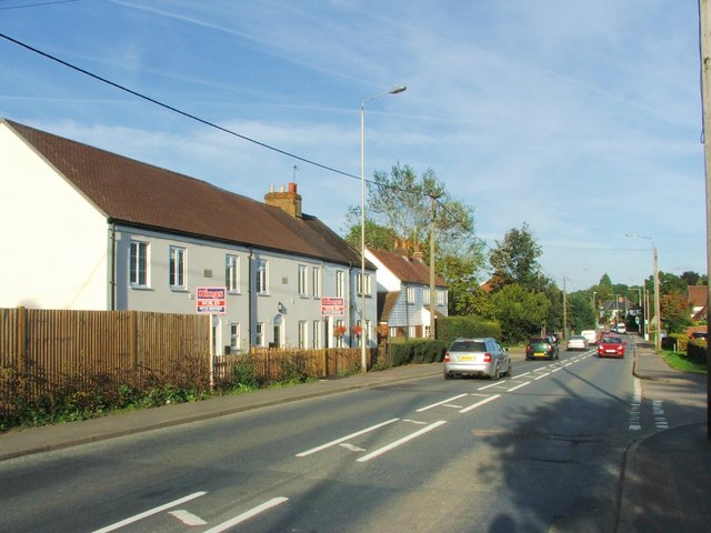
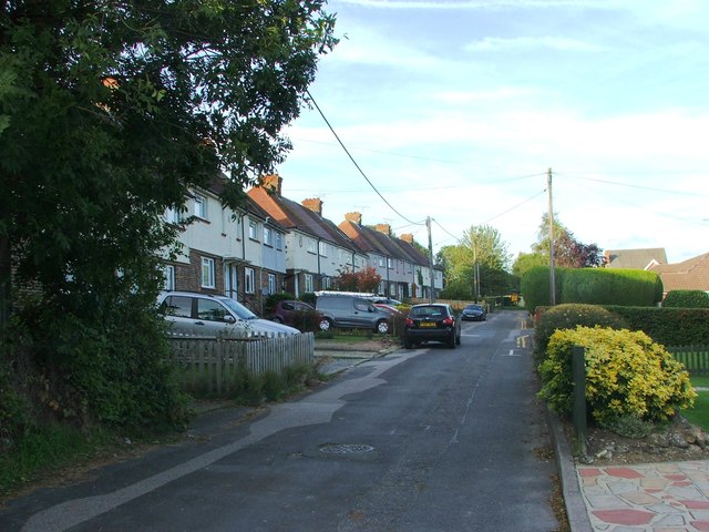
Platt is a predominantly rural area with a population of around 1,500 residents. The landscape is characterized by rolling hills, woodlands, and open countryside, making it an attractive destination for nature lovers and outdoor enthusiasts. The parish is home to several farms and agricultural fields, contributing to its picturesque charm.
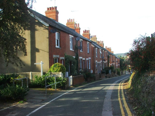
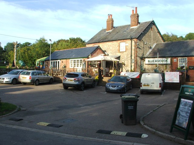
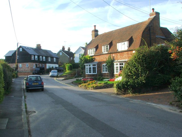
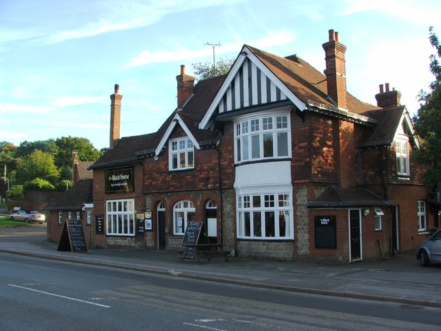
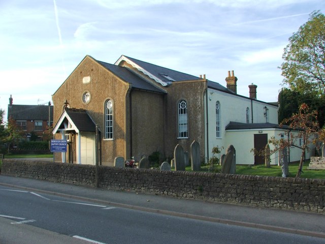
The centerpiece of Platt is its village green, which serves as a focal point for community activities and events. The green is surrounded by a mix of traditional cottages, modern houses, and a few local businesses. The village also has a primary school, providing education for children in the area.
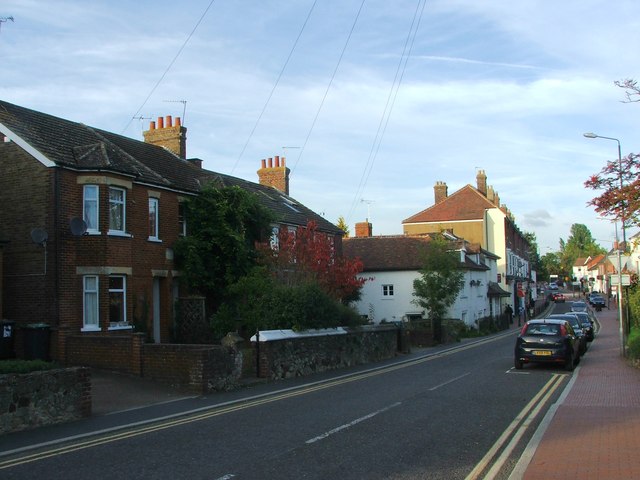
For amenities and services, residents of Platt have easy access to nearby towns such as Sevenoaks and Borough Green, which offer a wider range of shops, supermarkets, and other facilities. The area benefits from good transportation links, with the M20 motorway and the A25 road providing convenient access to surrounding areas.
Overall, Platt, Kent offers a peaceful and picturesque setting for residents, with its rural charm, community spirit, and proximity to larger towns providing a well-rounded living experience.
If you have any feedback on the listing, please let us know in the comments section below.
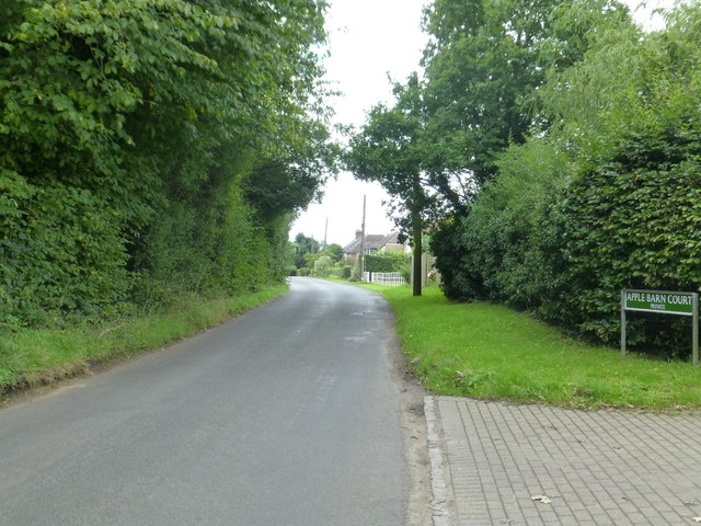
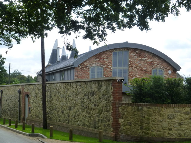
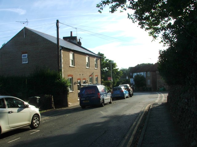
Platt Images
Images are sourced within 2km of 51.284008/0.328702 or Grid Reference TQ6256. Thanks to Geograph Open Source API. All images are credited.


Platt is located at Grid Ref: TQ6256 (Lat: 51.284008, Lng: 0.328702)
Administrative County: Kent
District: Tonbridge and Malling
Police Authority: Kent
What 3 Words
///noting.range.glad. Near Borough Green, Kent
Nearby Locations
Related Wikis
Platt, Kent
Platt, or St. Mary's Platt is a village and civil parish in the local government district of Tonbridge and Malling in Kent, England. The hamlet of Crouch...

Comp, Kent
Comp is a hamlet in the Tonbridge and Malling district, in the English county of Kent. == History == In 1240, the town was known as Camp de Wrotha (an...
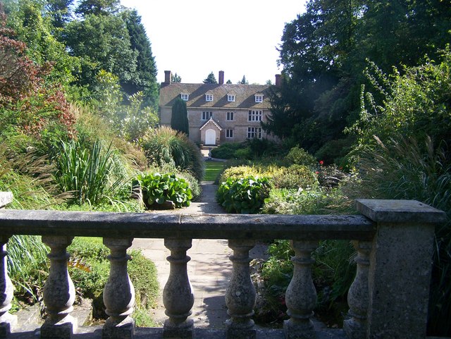
Great Comp Garden
Great Comp Garden is a Georgian farmhouse and garden, located on Comp Lane near the hamlet of Comp in Kent, England. It was developed by Roderick and Joyce...

Tonbridge and Malling
Tonbridge and Malling is a local government district with borough status in Kent, England. The council is based at Kings Hill. The borough also includes...

Claygate Cross
Claygate Cross is a hamlet in the Tonbridge and Malling district, in the English county of Kent. == Location == It is near the River Bourne. Nearby settlements...

Borough Green
Borough Green is situated in the borough of Tonbridge and Malling in Kent, England. The central area is situated on the A25 road between Maidstone and...
Wrotham Heath
Wrotham Heath is a settlement in the borough of Tonbridge and Malling in Kent, England. It is part of the civil parish of Wrotham, and is approximately...
Basted, Kent
Basted is a hamlet in the Tonbridge and Malling district, in the county of Kent, England. == Nearby settlements == === Town === Sevenoaks === Villages... ===
Nearby Amenities
Located within 500m of 51.284008,0.328702Have you been to Platt?
Leave your review of Platt below (or comments, questions and feedback).