Homebrook Shaw

Wood, Forest in Kent Tonbridge and Malling

England

Homebrook Shaw

Old Sour Road
Old Sour Road Credit: PAUL FARMER

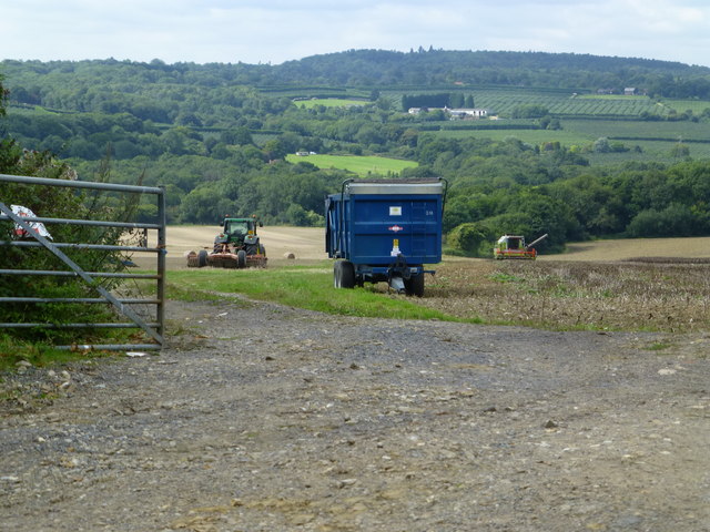
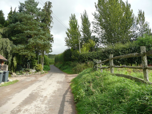
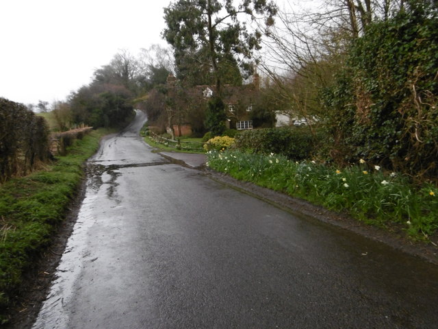
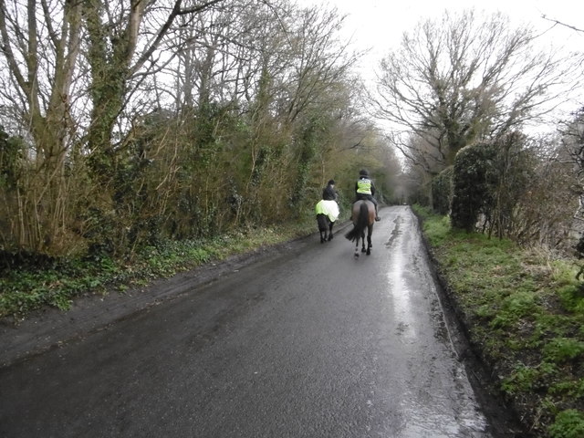
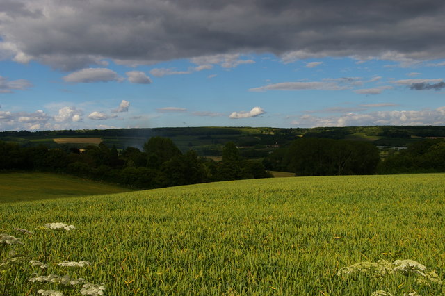
Homebrook Shaw is a picturesque woodland located in Kent, England. Situated in the heart of the county, this forested area covers a sprawling expanse of approximately 200 acres, providing a serene and tranquil escape from the hustle and bustle of everyday life.

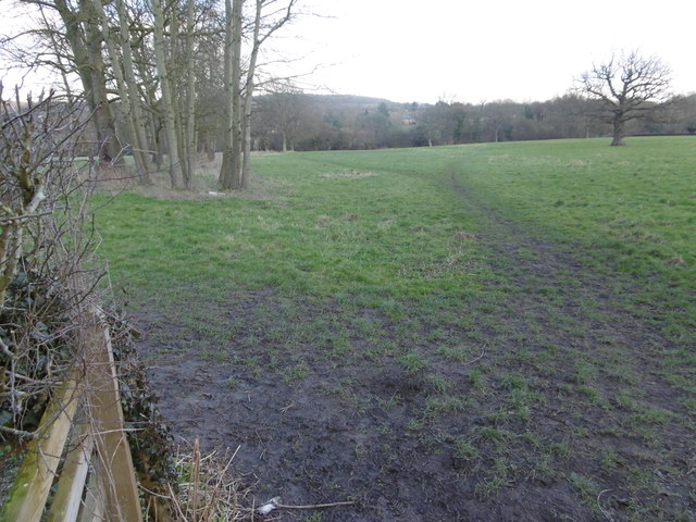
The woodland is characterized by its dense canopy of mature trees, predominantly consisting of oak, beech, and birch. These towering trees provide shade and shelter to a diverse array of wildlife that call Homebrook Shaw their home. Visitors can expect to encounter an abundance of bird species such as woodpeckers, thrushes, and owls, as well as small mammals including squirrels, rabbits, and foxes.

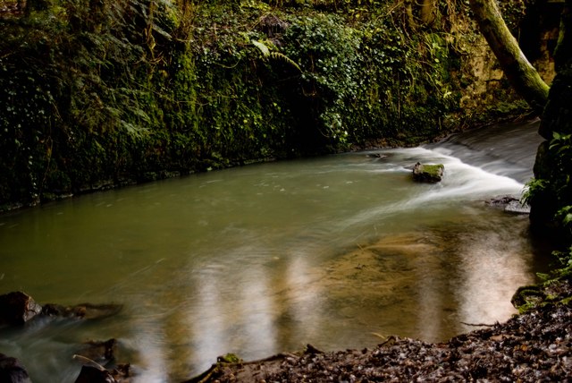
The forest floor is adorned with a rich carpet of native wildflowers and ferns, creating a vibrant and colorful undergrowth. Walking through Homebrook Shaw, visitors will be treated to a sensory feast of sights, sounds, and scents, with the earthy aroma of damp wood mingling with the sweet fragrance of wildflowers.

Tranquil pathways meander through the forest, inviting visitors to explore and immerse themselves in the natural beauty that surrounds them. These well-maintained trails are suitable for walkers of all abilities, ensuring that everyone can enjoy the peaceful ambiance of Homebrook Shaw.

For nature enthusiasts, the woodland offers a unique opportunity to observe and appreciate the delicate balance of ecosystems. The forest is managed sustainably, with conservation efforts aimed at preserving and protecting the diverse flora and fauna that thrive within its boundaries.

Overall, Homebrook Shaw in Kent is a haven for nature lovers, providing a serene and idyllic retreat where visitors can reconnect with the natural world and experience the beauty of a traditional English woodland.

If you have any feedback on the listing, please let us know in the comments section below.

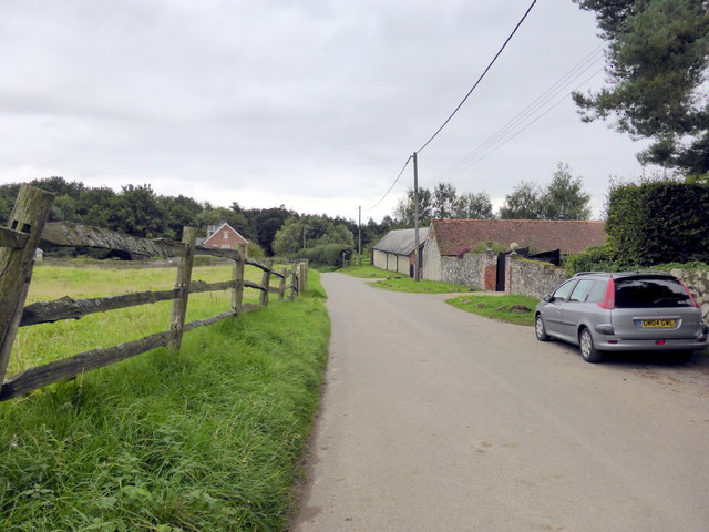
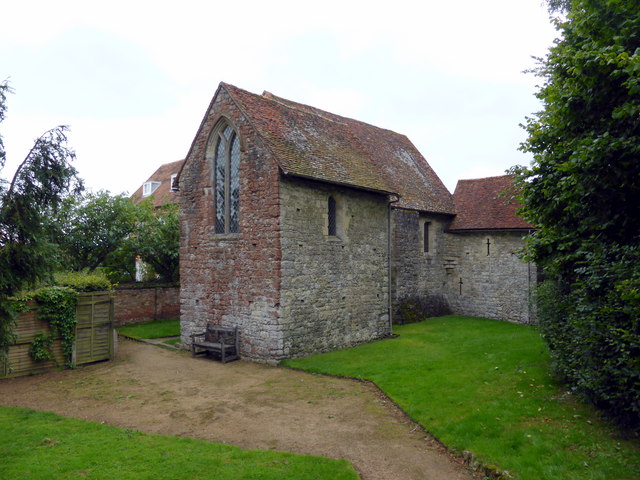
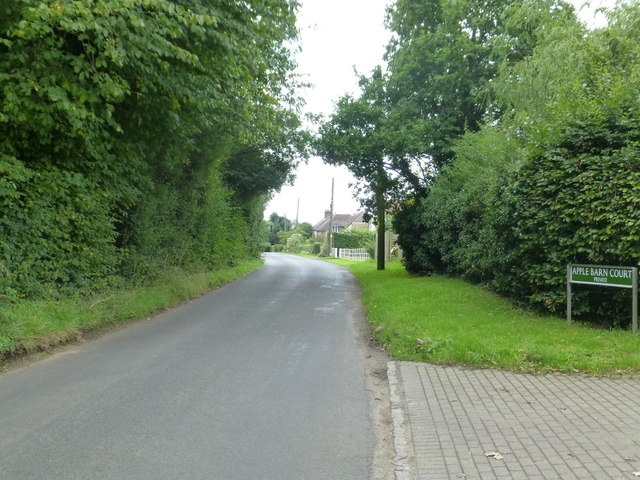
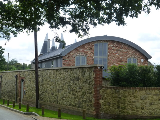
Homebrook Shaw Images

Images are sourced within 2km of 51.269991/0.30882351 or Grid Reference TQ6154. Thanks to Geograph Open Source API. All images are credited.

Old Sour Road
Old Sour Road
Old Soar Manor Old Soar Manor is a complete portion of stone manor house built c.1290.
Old Soar Manor
Old Soar Manor is a complete portion of stone manor house built c.1290.
Long Mill Lane  Crouch
Long Mill Lane Crouch
Long Mill Lane  Crouch A new house adjacent to the Grey Ladies Oasts
Long Mill Lane Crouch
A new house adjacent to the Grey Ladies Oasts
Harvest at Long Mill Lane  Crouch Looking across to Sheet Hill
Harvest at Long Mill Lane Crouch
Looking across to Sheet Hill
Sign at Plaxtol Spout This sign is beside a small residential development that is on the site of Hyders Forge.
Sign at Plaxtol Spout
This sign is beside a small residential development that is on the site of Hyders Forge.
Plaxtol Church This church is unusual in having no dedication. It was built in 1649, but has 19C windows. It is listed, Grade II*. The war memorial is not yet listed.
Plaxtol Church
This church is unusual in having no dedication. It was built in 1649, but has 19C windows. It is listed, Grade II*. The war memorial is not yet listed.
Grass triangle with copper beech tree, Plaxtol
Topiary at Nut Tree Hall, Plaxtol Nut Tree Hall is listed, Grade II, and the listing details state that it was built in the 16C, and restored and altered in 1905 by Harrison Townsend.
Topiary at Nut Tree Hall, Plaxtol
Nut Tree Hall is listed, Grade II, and the listing details state that it was built in the 16C, and restored and altered in 1905 by Harrison Townsend.
Grange Hill at The Grange, Plaxtol The Grange is listed, Grade II*, and the listing details include: "House. Early C17 house refronted in 1702, remodelled in 1926 by Sir Edwin Lutyens." The 18C wall and gate piers are also listed, Grade II.
Grange Hill at The Grange, Plaxtol
The Grange is listed, Grade II*, and the listing details include: "House. Early C17 house refronted in 1702, remodelled in 1926 by Sir Edwin Lutyens." The 18C wall and gate piers are also listed, Grade II.
Grass triangle with village sign, Plaxtol This is perhaps a tiny village green, although on the outskirts rather than at the centre of the village. It has the classic pairing of a red telephone kiosk and a letter box, and also an old-style signpost, a village notice board, a bench and a centrally-placed litter bin.
Grass triangle with village sign, Plaxtol
This is perhaps a tiny village green, although on the outskirts rather than at the centre of the village. It has the classic pairing of a red telephone kiosk and a letter box, and also an old-style signpost, a village notice board, a bench and a centrally-placed litter bin.
Old Soar Manor House, Plaxtol The 18C red-brick house, which is listed, Grade II, is on the site of the hall of a medieval manor house, built in 1290 by William de Hore. The stone buildings to the right are the solar and chapel of the manor house, which is a scheduled ancient monument owned by the National Trust and open to the public via a separate entrance.
Old Soar Manor House, Plaxtol
The 18C red-brick house, which is listed, Grade II, is on the site of the hall of a medieval manor house, built in 1290 by William de Hore. The stone buildings to the right are the solar and chapel of the manor house, which is a scheduled ancient monument owned by the National Trust and open to the public via a separate entrance.
The chapel, solar and garderobe wing, Old Soar Manor House, Plaxtol These are the surviving parts of the manor house, which was built in 1290 by William de Hore. The chapel is in the foreground. This would have has an entrance at the top of an external staircase, but is now accessed from the solar by doorway inserted much later when the building was used as a granary. The solar is behind the chapel; the entrance is to the left, through a doorway into the barrel-roofed undercroft. The garderobe wing projects from the solar, and you can just see the round-headed doorway through which the manure was extracted.
The chapel, solar and garderobe wing, Old Soar Manor House, Plaxtol
These are the surviving parts of the manor house, which was built in 1290 by William de Hore. The chapel is in the foreground. This would have has an entrance at the top of an external staircase, but is now accessed from the solar by doorway inserted much later when the building was used as a granary. The solar is behind the chapel; the entrance is to the left, through a doorway into the barrel-roofed undercroft. The garderobe wing projects from the solar, and you can just see the round-headed doorway through which the manure was extracted.
The lane to the north from Old Soar Manor House, Plaxtol I was interested in the wooden fence on the right, which I presume is a traditional type.
The lane to the north from Old Soar Manor House, Plaxtol
I was interested in the wooden fence on the right, which I presume is a traditional type.
Footpath next to Long Mill Lane This footpath makes a right angled bend just ahead and then leads to Allens Lane.
Footpath next to Long Mill Lane
This footpath makes a right angled bend just ahead and then leads to Allens Lane.
Crouch Lane in the rain Sotts Hole Cottage is on the right. This looks in the direction of Crouch.
Crouch Lane in the rain
Sotts Hole Cottage is on the right. This looks in the direction of Crouch.
Horse riders on Crouch Lane This view looks in the direction of Borough Green.
Horse riders on Crouch Lane
This view looks in the direction of Borough Green.
Plaxtol: view east off School Lane On the high ground across the valley are Mereworth Woods.
Plaxtol: view east off School Lane
On the high ground across the valley are Mereworth Woods.
Show me another place!

Homebrook Shaw is located at Grid Ref: TQ6154 (Lat: 51.269991, Lng: 0.30882351)

Administrative County: Kent

District: Tonbridge and Malling

Police Authority: Kent

What 3 Words

///error.spend.nuns. Near Borough Green, Kent

Related Wikis

Bourne Alder Carr

Bourne Alder Carr is a 13.4-hectare (33-acre) biological Site of Special Scientific Interest east of Sevenoaks in Kent.The River Bourne runs through a...

Claygate Cross

Claygate Cross is a hamlet in the Tonbridge and Malling district, in the English county of Kent. == Location == It is near the River Bourne. Nearby settlements...

Basted, Kent

Basted is a hamlet in the Tonbridge and Malling district, in the county of Kent, England. == Nearby settlements == === Town === Sevenoaks === Villages... ===
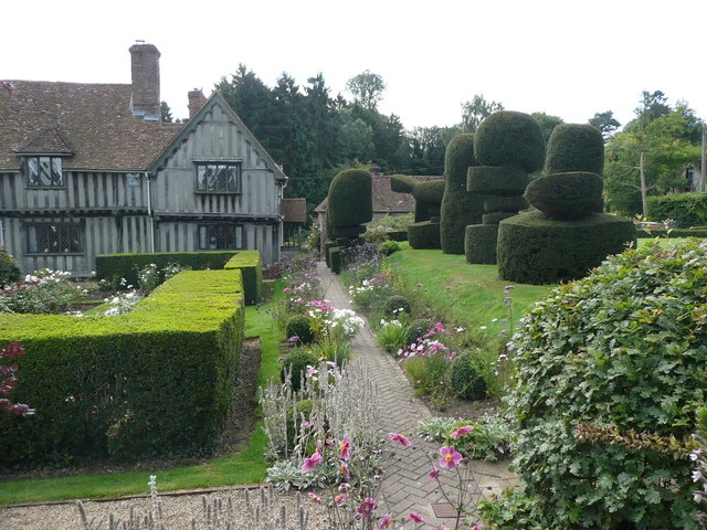
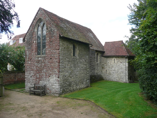
Old Soar Manor

Old Soar Manor is an English Heritage property, owned and maintained by the National Trust. Located near Plaxtol, Kent, England, it is a small 13th century...

Yopps Green

Yopps Green is a hamlet in the Tonbridge and Malling District, in the county of Kent, England. It is part of the small village of Plaxtol. == Location... ==
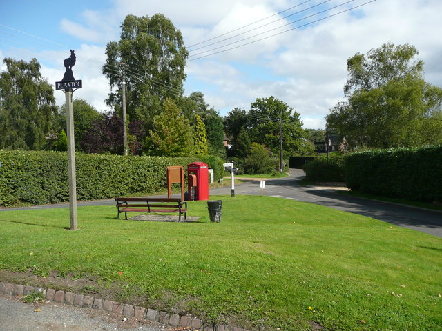
Plaxtol

Plaxtol is a village and civil parish in the borough of Tonbridge and Malling in Kent, England. The village is located around 5 miles (8 km) north of Tonbridge...

Ightham

Ightham ( EYE-təm) is a parish and village in Kent, England, located approximately four miles east of Sevenoaks and six miles north of Tonbridge. The...
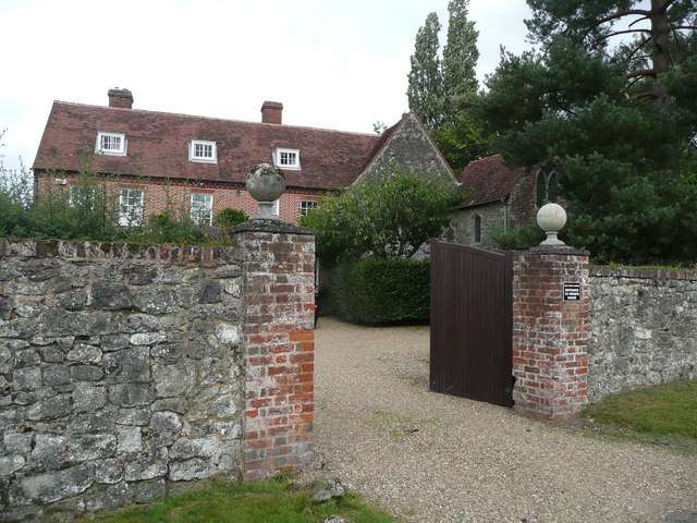
Fairlawne

Fairlawne is a Grade I listed house in Shipbourne, Kent, England, about 30 miles southeast of central London. The Fairlawne Estate is extensive and stretches...

Nearby Amenities

Located within 500m of 51.269991,0.30882351
Power: tower
Lat/Long: 51.2684476/0.3035308
Bridge Support: small_bridge
Material: concrete
Lat/Long: 51.2685098/0.3046987
The data included in this document is from www.openstreetmap.org. The data is made available under ODbL.

Have you been to Homebrook Shaw?

Leave your review of Homebrook Shaw below (or comments, questions and feedback).