Seagrove Wood
Wood, Forest in Kent Tonbridge and Malling
England
Seagrove Wood
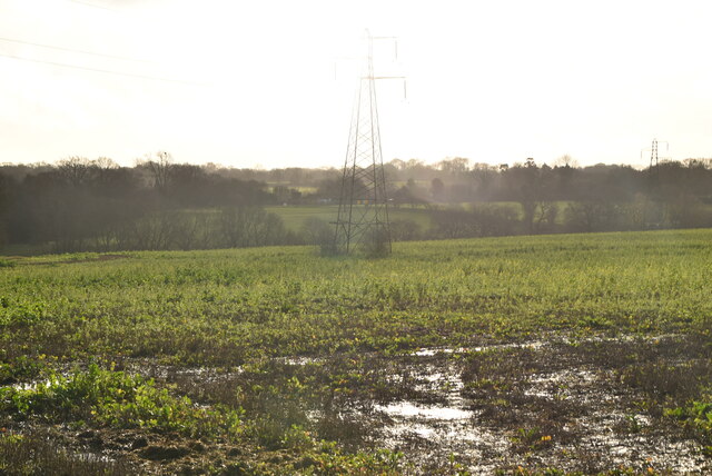
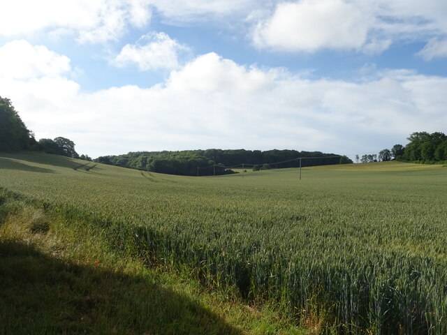
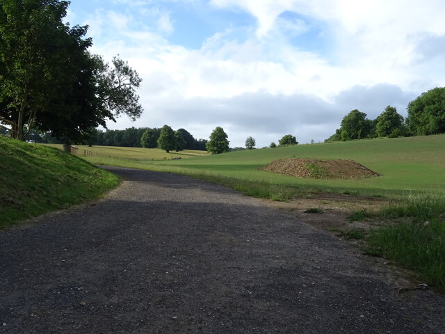
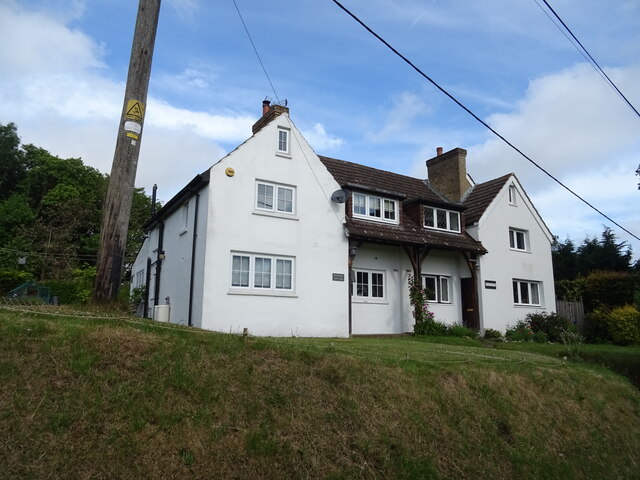
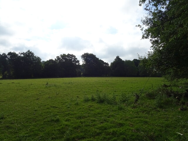
Seagrove Wood is a picturesque woodland located in the county of Kent, England. Situated near the village of Seagrove, the wood covers an area of approximately 100 acres and is a popular destination for nature enthusiasts and hikers.
The woodland is primarily composed of native broadleaf trees, such as oak, beech, and ash, which create a dense canopy and provide a habitat for a variety of wildlife. Visitors can expect to see an abundance of bird species, including woodpeckers, warblers, and owls. Additionally, small mammals like foxes, badgers, and squirrels can often be spotted among the undergrowth.
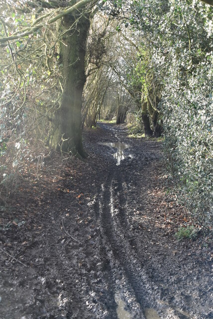
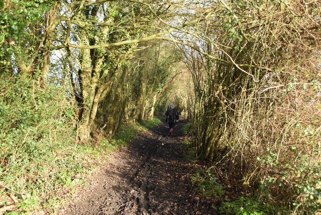
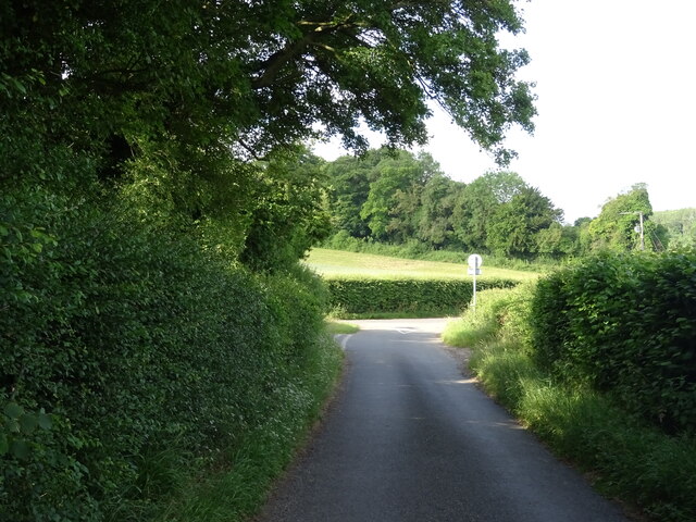
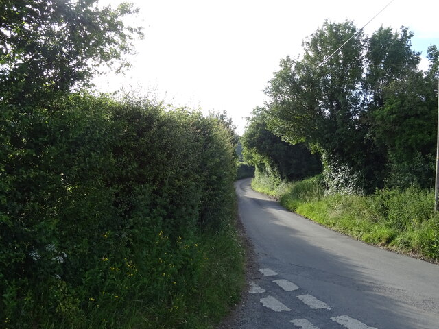
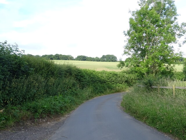
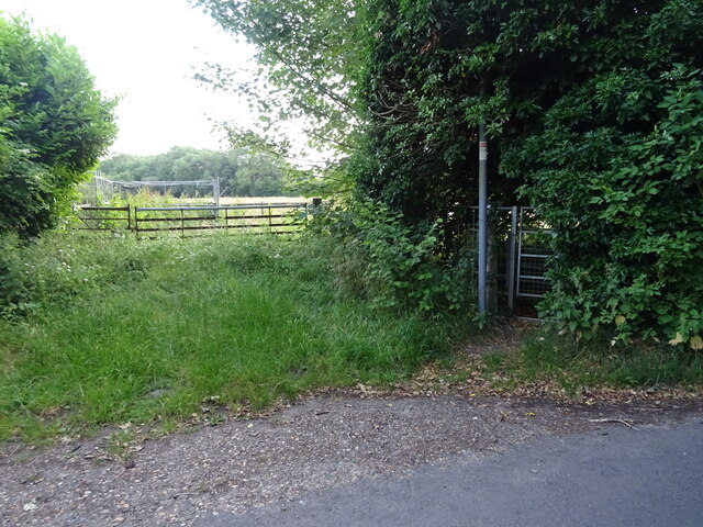
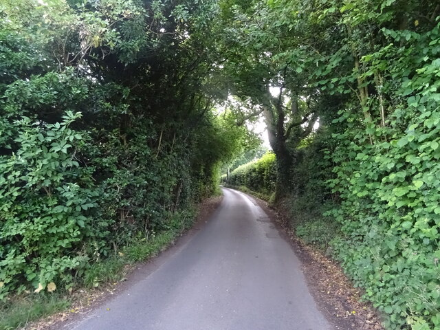
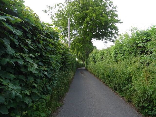
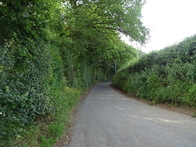
Seagrove Wood is renowned for its tranquil atmosphere and scenic beauty. Well-maintained footpaths wind through the woodland, offering visitors the opportunity to explore its diverse flora and fauna. The bluebells that carpet the forest floor in the spring are a particularly enchanting sight.
In addition to its natural beauty, the wood also boasts a rich historical significance. It is believed that the area has been continuously wooded since the end of the last Ice Age, making it an ancient woodland. The wood has also been used for timber production and charcoal making in the past, contributing to the local economy.
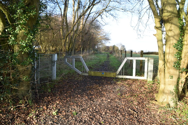
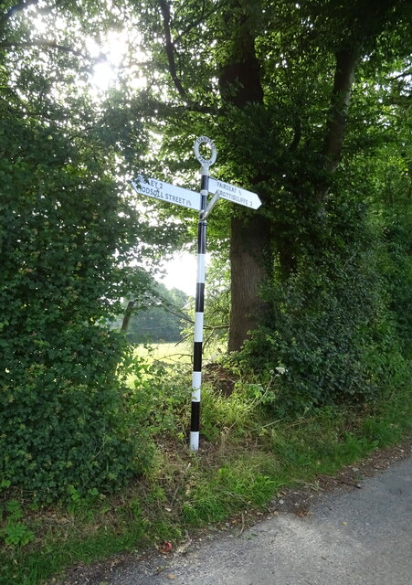
Seagrove Wood is easily accessible by foot or car, with ample parking available nearby. Whether you are a nature lover, a history enthusiast, or simply seeking a peaceful retreat, a visit to Seagrove Wood is sure to leave you captivated by its charm and tranquility.
If you have any feedback on the listing, please let us know in the comments section below.
Seagrove Wood Images
Images are sourced within 2km of 51.335588/0.31204653 or Grid Reference TQ6162. Thanks to Geograph Open Source API. All images are credited.
Seagrove Wood is located at Grid Ref: TQ6162 (Lat: 51.335588, Lng: 0.31204653)
Administrative County: Kent
District: Tonbridge and Malling
Police Authority: Kent
What 3 Words
///crew.knots.intend. Near Culverstone Green, Kent
Nearby Locations
Related Wikis

Stansted, Kent
Stansted (referred to in older texts as Stanstead) is a village and rural parish in the Tonbridge and Malling district of the county of Kent in the United...

Ridley, Kent
Ridley is a place and former civil parish, now in the parish of Ash-cum-Ridley, in the Sevenoaks district, in the county of Kent, England. It lies between...
London Golf Club
The London Golf Club is a privately owned golf course located in the village of Ash, Kent, approximately 20 miles southeast of London. == History == The...

Trosley Country Park
Trosley Country Park is in Trottiscliffe, near Vigo, in Kent, England. Once part of a large woodland estate then after many changes, it was passed to Kent...
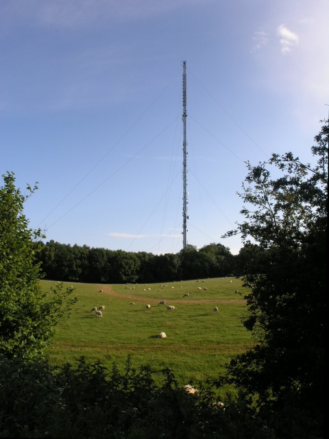
Wrotham transmitting station
The Wrotham transmitting station is located on the North Downs, close to the village of Wrotham in Kent, England and just north of the M20 motorway. Its...
Ash, Sevenoaks District
Ash is a small village and former civil parish located in the Sevenoaks district in Kent. It shares the parish of Ash-cum-Ridley with the nearby village...

Vigo Village
Vigo Village is a village and (as simply Vigo) a civil parish in the Gravesham district in Kent, England. It takes its name from a 15th-century public...
Ash-cum-Ridley
Ash-cum-Ridley is a civil parish in the Sevenoaks district of Kent, England. According to the 2001 census the parish had a population of 7,070, reducing...
Nearby Amenities
Located within 500m of 51.335588,0.31204653Have you been to Seagrove Wood?
Leave your review of Seagrove Wood below (or comments, questions and feedback).